psmart
Active member
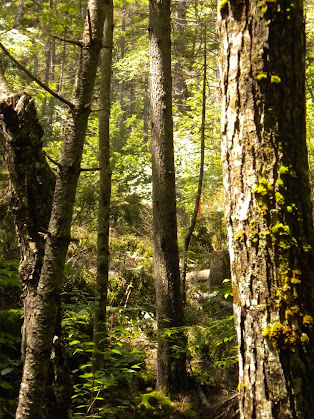
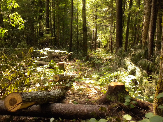
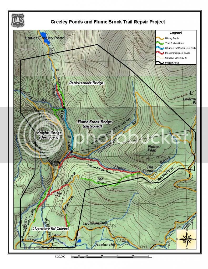
The USFS has issued a Decision Memo to address trail damage by TS Irene to several trails in Waterville Valley, including the Greeley Ponds and Flume Brook Trails. The decision includes some significant trail closures and relocations. The map tells the quick story:
 [/URL]
Full Decision memo is here:
http://a123.g.akamai.net/7/123/1155...i.com/11558/www/nepa/89536_FSPLT3_1424397.pdf
Or just the PDF map:
http://a123.g.akamai.net/7/123/1155...ai.com/11558/www/nepa/89536_FSPLT2_293428.pdf
Full Decision memo is here:
http://a123.g.akamai.net/7/123/1155...i.com/11558/www/nepa/89536_FSPLT3_1424397.pdf
Or just the PDF map:
http://a123.g.akamai.net/7/123/1155...ai.com/11558/www/nepa/89536_FSPLT2_293428.pdf