Mt Washington, 12/14

vftt.org

Help Support vftt.org:

This site may earn a commission from merchant affiliate links, including eBay, Amazon, and others.

blaze

Active member
Joined
Jun 16, 2008
Messages
547
Reaction score
112
Location
Scarborough, Maine
Via Tuckerman Ravine Trail and the Lion Head Trail "summer" route.

There were many people using crampons. I wore Hillshounds as far as the upper summer route/winter route junction, and snowshoes from there. I carried an ice axe but used trekking poles the whole way.

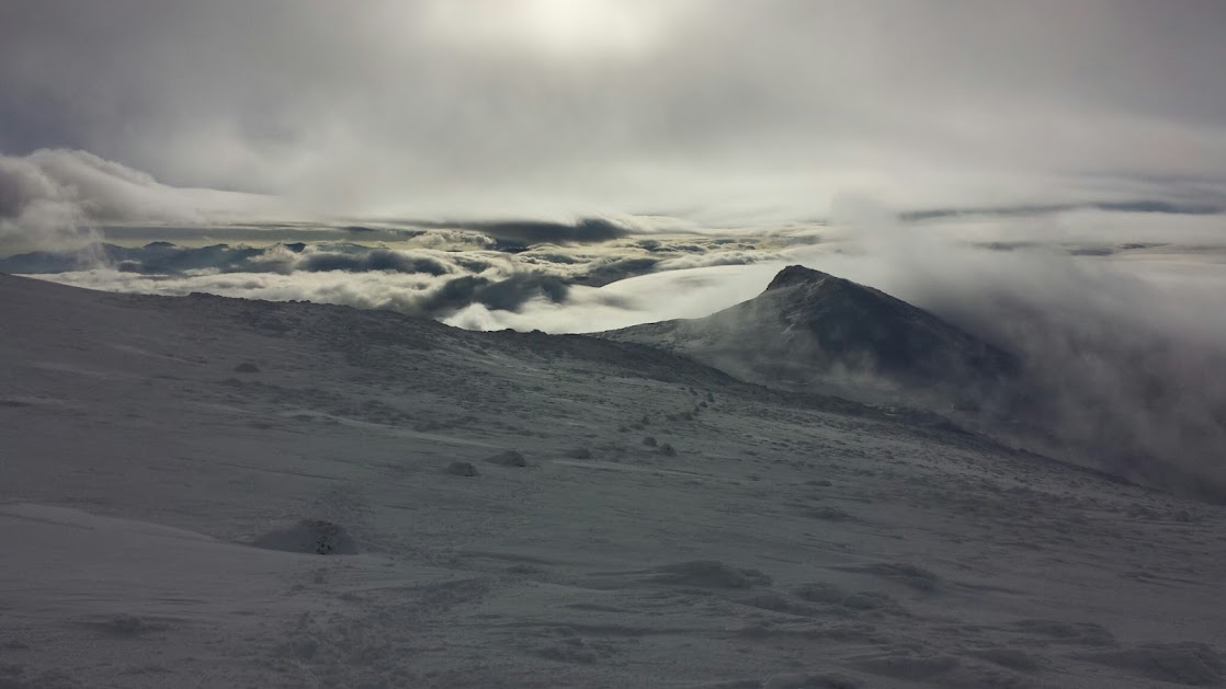
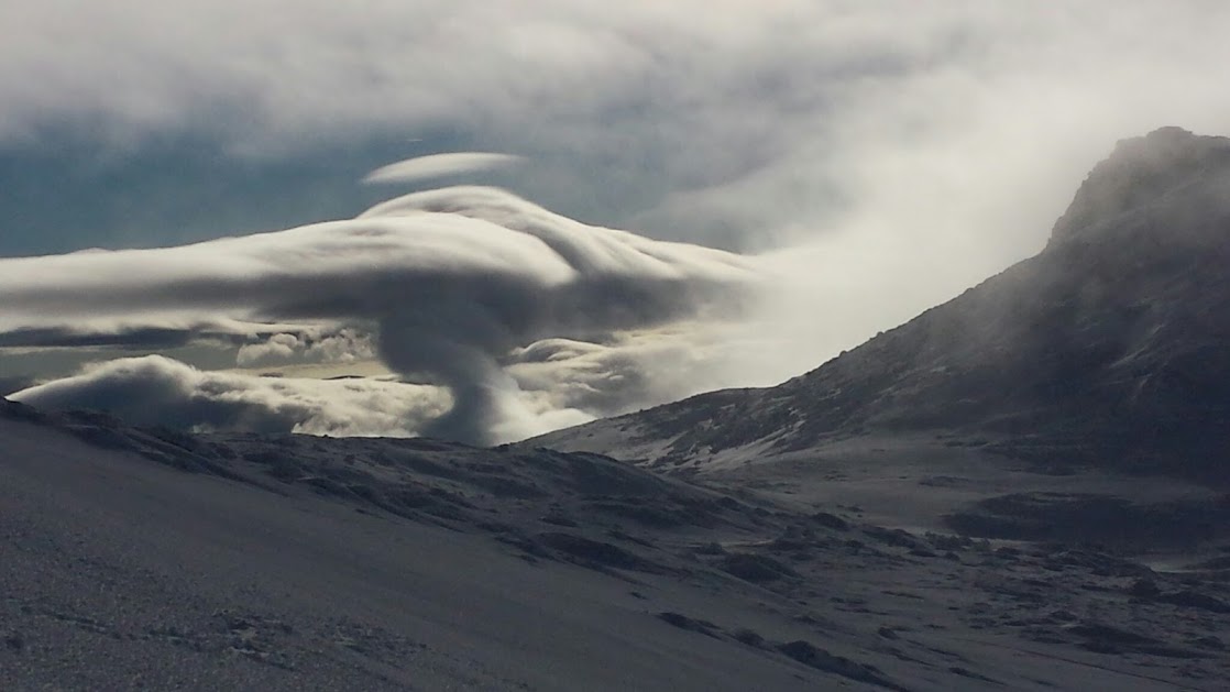
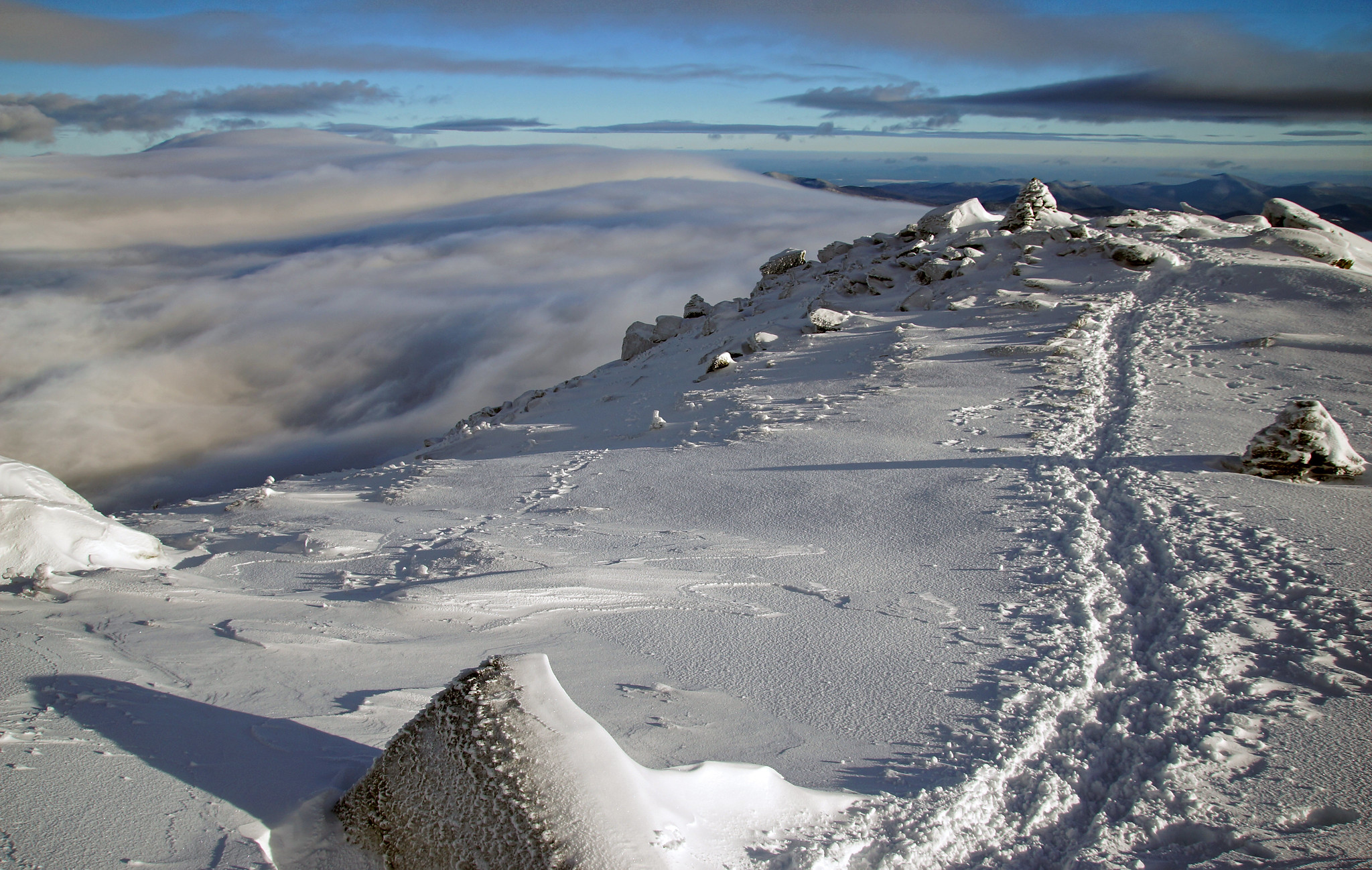
Mostly in the clouds on ascent, but we enjoyed a spectacular undercast on descent.

15997931416_029d753f25_k.jpg
 
Hey Blaze, we must have just missed you. We came up the Crawford Path and were on the summit just before 1. Possibly a little earlier than you? Judging by the blue sky in your photos. I will agree, the undercast was most impressive.

20141214_135024.jpg


20141214_140452.jpg
 
Hey Blaze, we must have just missed you. We came up the Crawford Path and were on the summit just before 1. Possibly a little earlier than you? Judging by the blue sky in your photos. I will agree, the undercast was most impressive.

20141214_135024.jpg


20141214_140452.jpg

Nice shots! We also summited just before 1:00 PM.
 
We must have just missed you. There was 3 of us plus 1 dog in a grey coat.
 
Thanks for continuing to post your outstanding photos here ( your baldface shots had nice skies). I was on pierce that day, sunday and visibility was as limited as I've experienced, about 50 feet. I was wondering how high I would have to keep climbing to escape the clouds. Thanks for taking me there vicariously.
 
Thanks for continuing to post your outstanding photos here ( your baldface shots had nice skies). I was on pierce that day, sunday and visibility was as limited as I've experienced, about 50 feet. I was wondering how high I would have to keep climbing to escape the clouds. Thanks for taking me there vicariously.

Thank you, most kind. Happy holidays!
 
Top