wildbill
New member
Can anyone tell me if this is a good area for either?
Also curious about North Twin Spur.
Thanks!
Also curious about North Twin Spur.
Thanks!

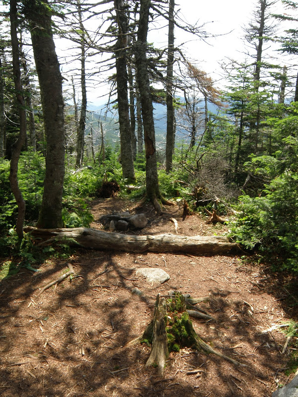
You seem to be implying that the Pemi Wilderness includes the trails surrounding it. I don't have my maps & notes at hand here, but generally that is NOT the case.Camp on the north side to stay out of the Pemi wilderness
You seem to be implying that the Pemi Wilderness includes the trails surrounding it. I don't have my maps & notes at hand here, but generally that is NOT the case.
I finally received an answer from the WMNF surveyor, the official document is a scanned PDF which I can't post here (e-mail if you want to OCR or host it).
As suspected, it is defined as a distance from trails so most trailed summits are outside Wilderness but bushwhack summits are on boundary. My summary:
* 66 feet from Osseo, Franconia Ridge, Garfield Ridge Trails
* 100 feet outside Galehead Hut permit area
* 66 feet from Twinway to Bondcliff Trail
* 33 feet from Bondcliff Trail to point 100 feet S of Guyot Shelter spur, then 100 feet from spur and shelter returning 33 feet from other side of Bondcliff Trail
* 66 feet from Twinway and Whitewall Brook
* 66 feet from Ethan Pond Trail to ridge S from Mt Willey
* follows ridgeline all the way to East Side Road with 100' deviation at summit of Mt Carrigain - no such deviation at Mt Hancock so apparently part of Hancock Loop Trail is in Wilderness although not signed as such
* 66 feet from East Side Road to 66 feet beyond gate
* across to Wilderness Trail and back to 33 feet from Franconia Brook
* up Franconia Brook to E of northern tip of Black Pond, then over to pond
* follow pond shore (which not specified but presumably W to connect below)
* 33 feet SW from Black Pond Trail
* 66 feet from Wilderness Trail back to Osseo Trail
")

The problem is, where does the Wilderness start?
Joe, you read the rules the same way I do: if you're camping less than 200' from the trail but inside the Pemi Wilderness, you're in trouble. If you're camping outside the Wilderness, it doesn't matter where the Twinway is. The problem is, where does the Wilderness start?
Where did you get that map? It doesn't look official to me.
As a side note, we should have a spot somewhere for oft-referenced links [or do we already?]
Enter your email address to join: