
Up Ammo to Mt Washington. Still some stretches of snow on the trail just below treeline. Trails and summit much less crowded than I expected. Going down Gulfside toward Jewell, a guy hiking up with skis on his pack told me Airplane Gully was still in. I had already planned to take a side trip to Mt Clay (my second favorite spot in the Whites), but now I would also try to spot the skiers from there. From Clay I dug deep into the vast reservoir of my navigational skills, and bushwacked from Clay summit area to the Gulfside/Jewell junction. Went down Jewell. Regarding photos...sunny skies, high sun, and harsh shadows...therefore I decided to try to see things in black and white.
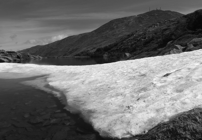
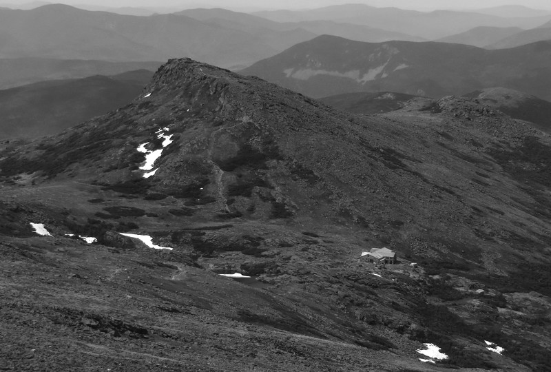
Lakes of the Clouds, north lake
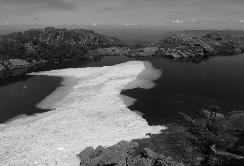
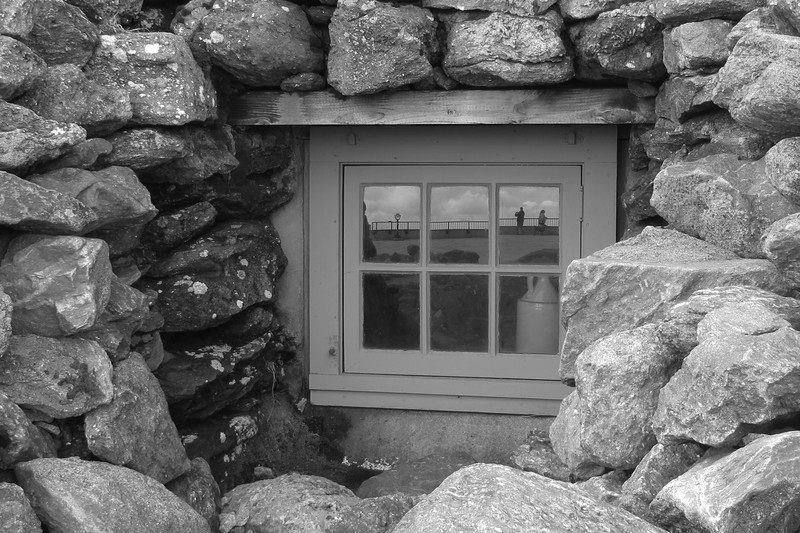
Crawford Path
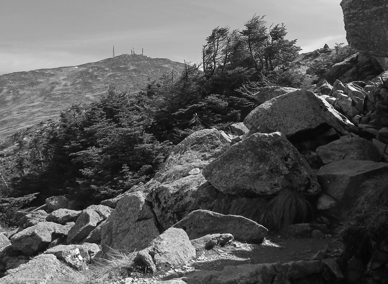
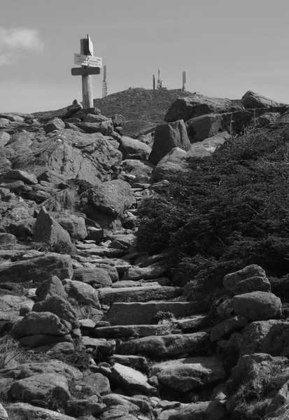
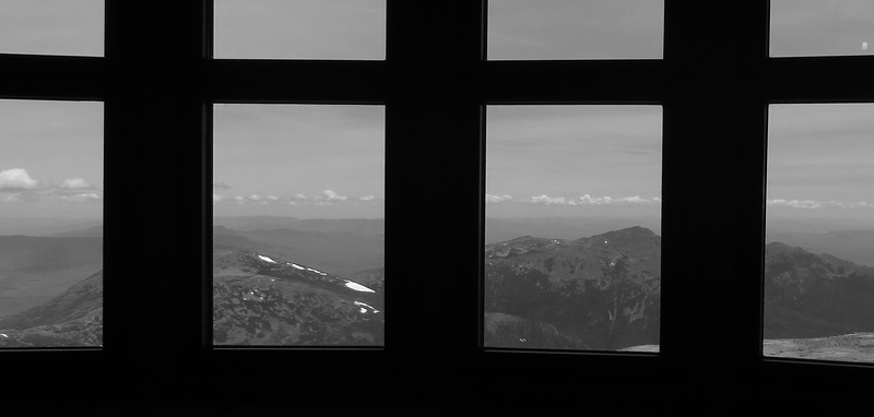
Summit
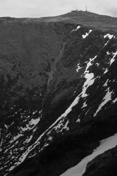
Airplane Gully, seen from Mt Clay
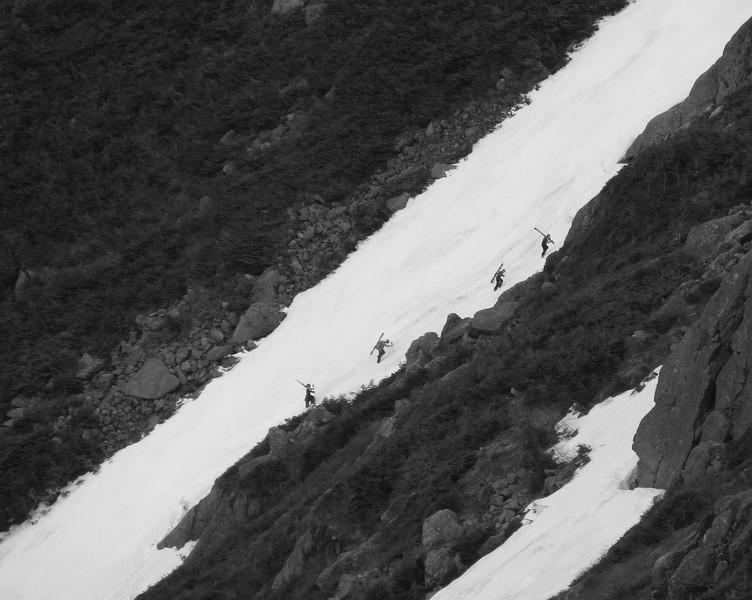
Great Gulf Trail headwall and Airplane Gully
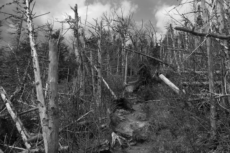
Jewell Trail, fir wave???
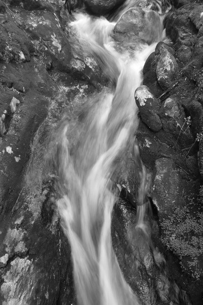
Along Jewell Trail
short video of Airplane Gully
[video]https://photos.smugmug.com/Hiking-Backpacking-and-1/2017/Mt-Washington-and-Mt-Clay-May-28-2017/i-KWzj7nz/0/cafad31a/1920/MVI_0835-1920.mp4[/video]
Lakes of the Clouds, north lake
Crawford Path
Summit
Airplane Gully, seen from Mt Clay
Great Gulf Trail headwall and Airplane Gully
Jewell Trail, fir wave???
Along Jewell Trail
short video of Airplane Gully
[video]https://photos.smugmug.com/Hiking-Backpacking-and-1/2017/Mt-Washington-and-Mt-Clay-May-28-2017/i-KWzj7nz/0/cafad31a/1920/MVI_0835-1920.mp4[/video]