
1HappyHiker
Well-known member
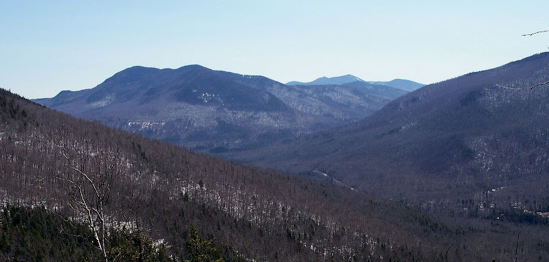
This was another short trek for a limited time-frame. I went about a mile up the Davis Path from the trailhead on Route 302. At about 1550 feet, I left the trail and headed in a SSE direction for about 0.3 mile toward a ledge that I have never explored. I had already “previewed” the view on GoogleEarth and knew beforehand that it would be an OK view, but nothing spectacular. It was still a good hike, and it certainly fit the bill for the time available.
Below are two photos. One photo shows the view from the ledge. The other photo (which might be of more interest) shows the “monorail” that exits in many places on the Davis Path up to the point where I left the trail.
1HappyHiker
Below are two photos. One photo shows the view from the ledge. The other photo (which might be of more interest) shows the “monorail” that exits in many places on the Davis Path up to the point where I left the trail.
SSW View Toward Tremont and Tripyramids
Davis Path
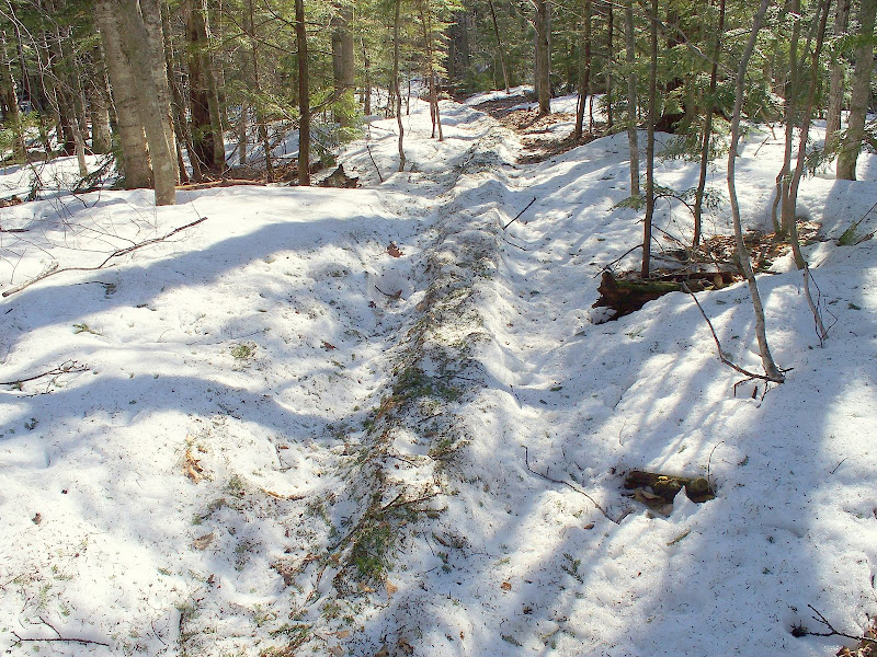
Davis Path
1HappyHiker