Ed'n Lauky
Well-known member
- Joined
- Feb 15, 2007
- Messages
- 1,802
- Reaction score
- 168
Friday we headed of to the far end of Connecticut for some more highpointing. We headed down from Maine to the Mass Pike and drove across the state getting off at exit 2. From there we went straight south finally taking the Mt. Washington Rd. to the Mass--CT border.
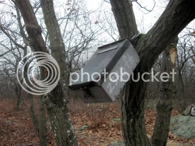
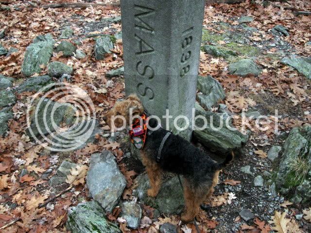
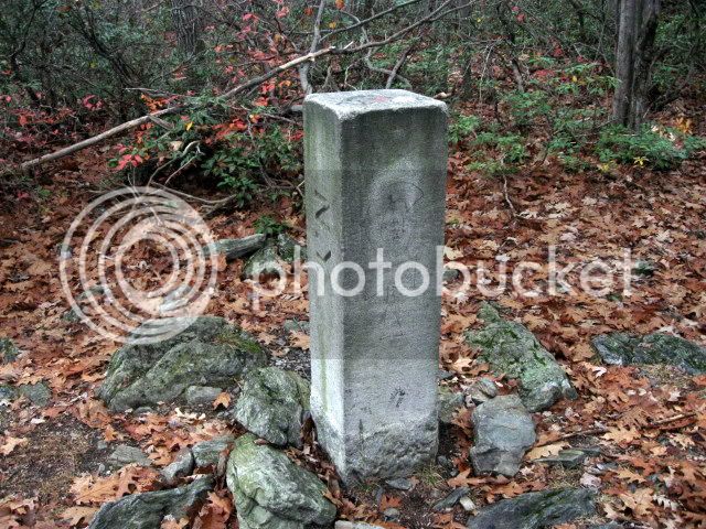
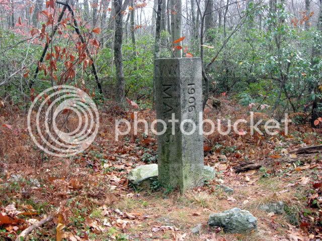
If you have a GPS the trailhead is easy to find. Right at the border you will see an old state line marker. The marker is set off in the woods to your left, so if you don't have a GPS it would be possible to drive right by it.
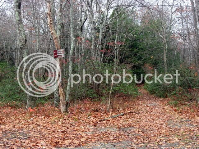
Right after the marker is this sign.

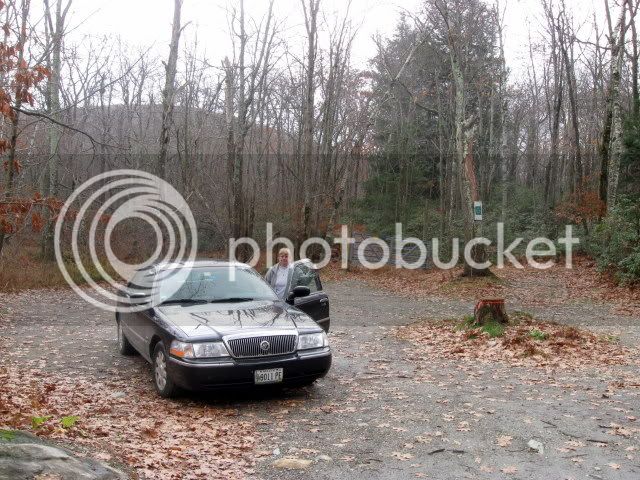
Then 50 feet farther down the road on your left you will see the modest parking area.
The trailhead starts almost across from the state line marker.
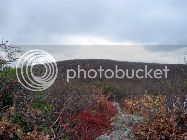
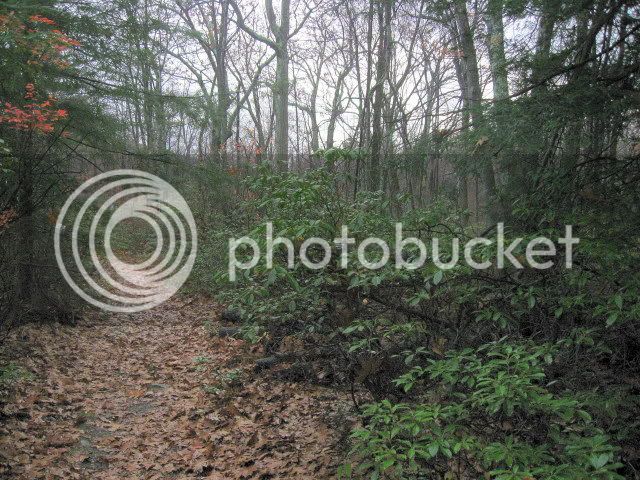
For almost 2/3 of a mile the trail is fairly flat. I was surprised to see some Rhododendron, something I would expect to find farther south. The trail starts in CT, heads immediately into MA, then turns back into CT. When you leave the summit of Round Mt. you head back into MA. Then once on the summit of Frissell you head back into CT. From there you head to the NY border.
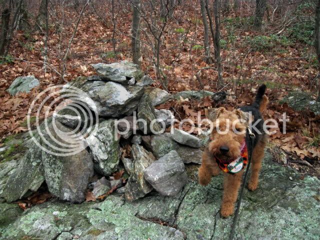
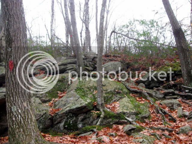
The next 1/3 of a mile up Round Mt. the trail climbs fairly steeply. One Texas blogger described the climb as a class 2 scramble. I would guess that that is about right. The biggest obstacle going up was an abundance of wet leaves on the ledges. On the way back down it was raining so the ledges themselves were fairly slippery. Shortly before the summit there is a place where the trail seems to veer off to the left. This is a false herd trail. The actual trail continues up over the ledge.
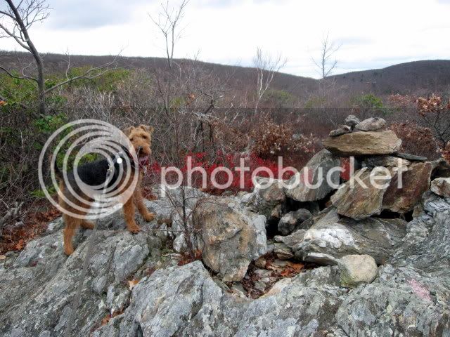
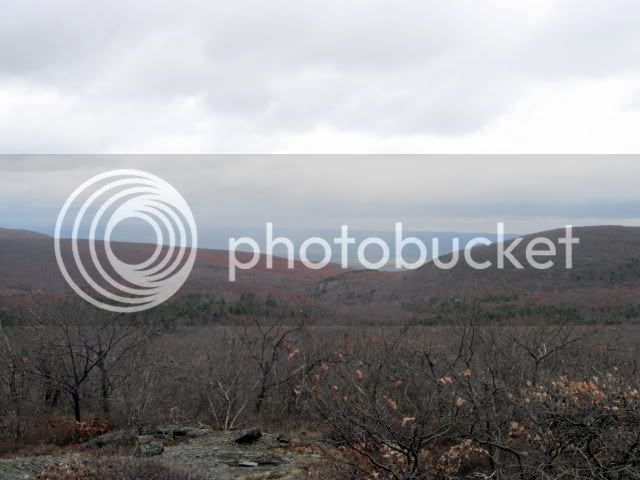
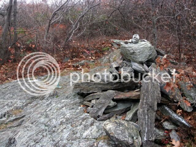
When we arrived on the summit of Round Mt. we were greeted with some open areas
If you have a GPS the trailhead is easy to find. Right at the border you will see an old state line marker. The marker is set off in the woods to your left, so if you don't have a GPS it would be possible to drive right by it.
Right after the marker is this sign.
Then 50 feet farther down the road on your left you will see the modest parking area.
The trailhead starts almost across from the state line marker.
For almost 2/3 of a mile the trail is fairly flat. I was surprised to see some Rhododendron, something I would expect to find farther south. The trail starts in CT, heads immediately into MA, then turns back into CT. When you leave the summit of Round Mt. you head back into MA. Then once on the summit of Frissell you head back into CT. From there you head to the NY border.
The next 1/3 of a mile up Round Mt. the trail climbs fairly steeply. One Texas blogger described the climb as a class 2 scramble. I would guess that that is about right. The biggest obstacle going up was an abundance of wet leaves on the ledges. On the way back down it was raining so the ledges themselves were fairly slippery. Shortly before the summit there is a place where the trail seems to veer off to the left. This is a false herd trail. The actual trail continues up over the ledge.
When we arrived on the summit of Round Mt. we were greeted with some open areas
Last edited: