
grouseking
Well-known member
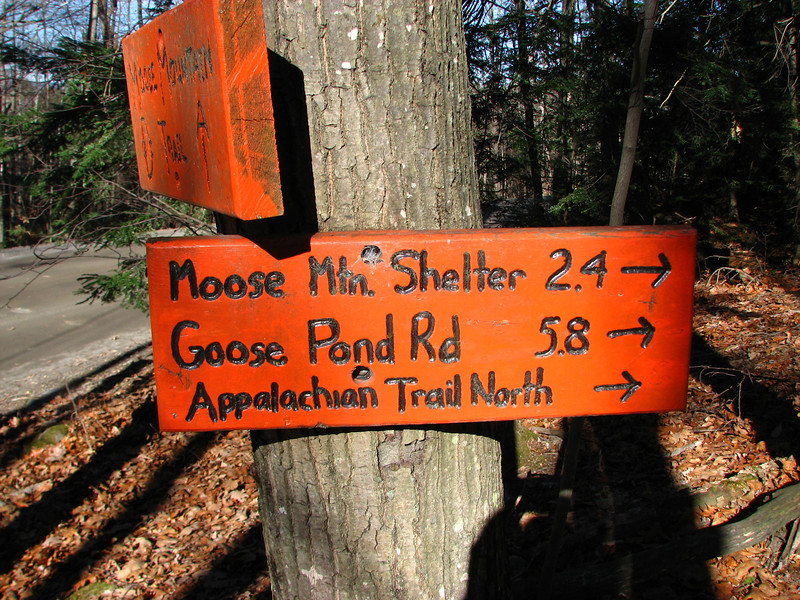
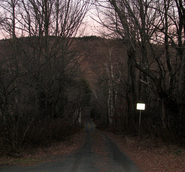
I had a free afternoon, so the decision was made to head up to Moose mtn and check out the ridge, (at least the AT part) which I haven't hiked since Sept of 07, on a very warm and humid day. Temps were absolutely perfect yesterday, in the 50s pretty much from top to bottom, and as the day wore on towards sunset, a temp inversion took hold, where it was much warmer higher up on the hill than the bottom...like in the 50s higher up, and in the upper 30s in the little nooks. Gotta love microclimates. We didn't have a whole lot of time thanks to the 4:30 sunset, but it made for interesting light, thats for sure. Even my trail sign picture makes it look like the sun was ready to set, and it was at high noon. Anyways, I will let the pics tell the rest of the story.
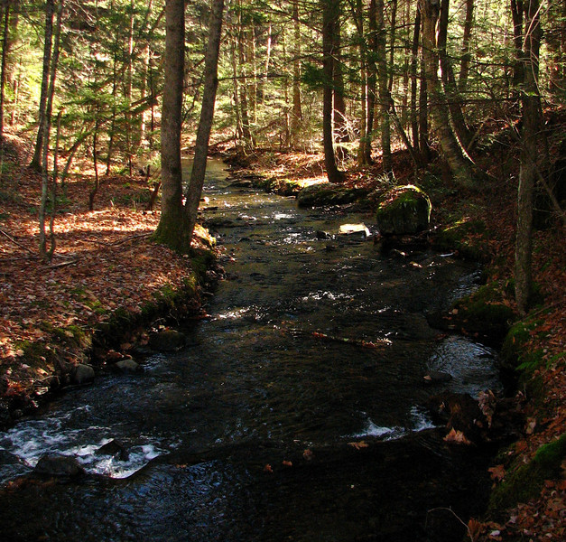
at the crossing down in the little nook, in the first 5 min.
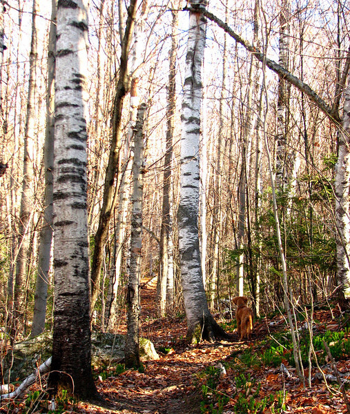
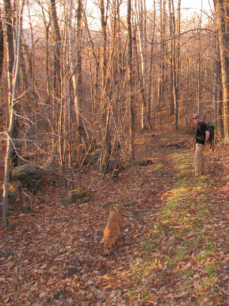
some magnificent birches, and Hunter, our fearless leader
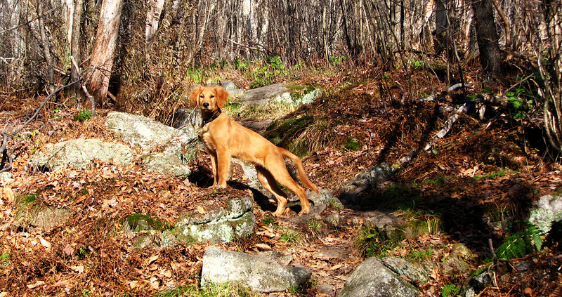
Onward, humans!!
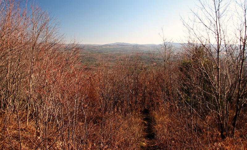
view from south moose mtn, really growing in at this point. where is my chainsaw? just kidding...i dont know how to use one. haha
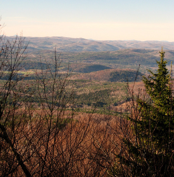
We kept going over to North Moose, to check out a couple more view points, till the trail started descending. I wanted to get to the view where you could see smarts and cube, but it was getting too late in the day. So instead we settled for some other interesting vistas.
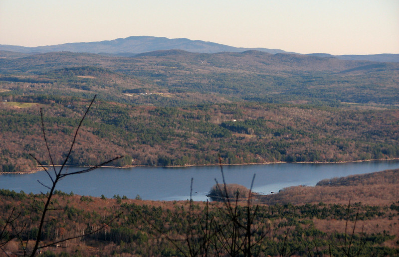
Goose pond
Looking west
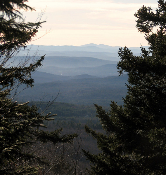
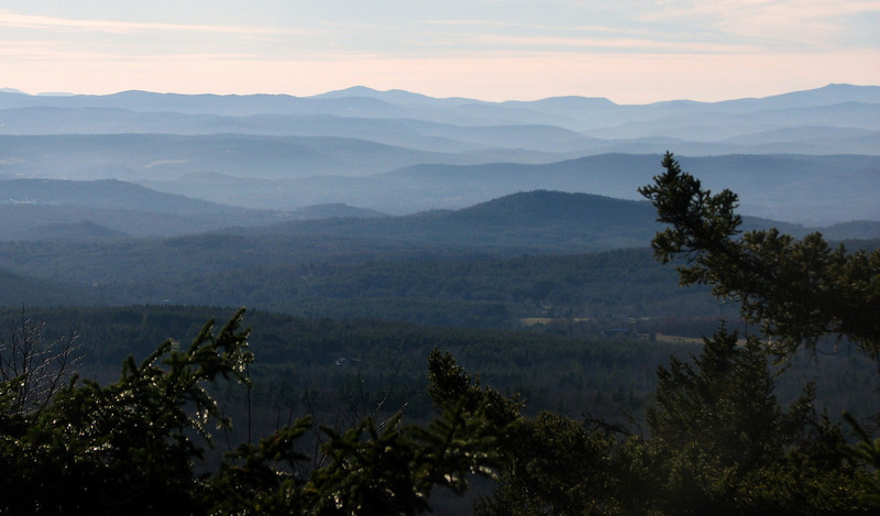
This one is prob one of my favorite shots of the day. Are we in the Smokies?
It was gettin towards 4pm, and after a short break at the Moose Mtn shelter, we headed down the mtn along the old class 6 road in the col below South Moose Mtn. There was a lot of water and mud up high, but it eventually got redirected off the road, and then it was a dry path the rest of the way, to Three Mile Rd. If it had been earlier, we could have attempted to make a loop along some other trails back to the AT, but we just took the road all the way down, then back onto the main drag to the car.
the scene
the quiet calm of night setting in
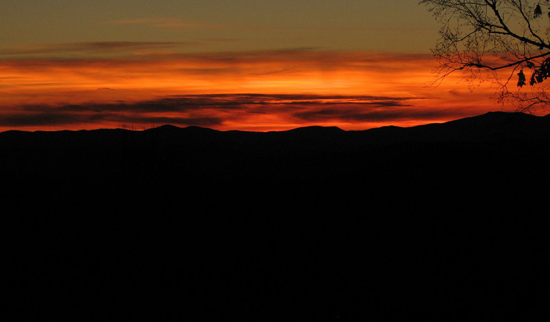
and finally, this was after sunset, but we had yet another amazing color display.
whoever lives at the house I trespassed onto to get this pic, I am jealous. no one was home...i think it was a summer place.
enjoy! http://grouseking.smugmug.com/gallery/14648203_KrsqM#1089986624_omn9h
grouseking
")