
1HappyHiker
Well-known member
Although 2 consecutive days were available for hiking, only a limited amount of time was available on each of those days. On the first day, I took the opportunity to XC-ski into the Pondicherry area near the Whitefield, NH airport. It was a nice time of year to be there before the snowmachine season really gets going.
The second day was spent doing a quick exploration of the Lake Willoughby area of Vermont. It's less than an hour's drive from my home in Bethlehem. I've driven through that area, but never had the opportunity to explore it on foot. I only had time to scratch the surface. It's a lovely area, and I'll likely be doing some other forays to that vicinity at some point.
There's really nothing more to say. And so, in keeping with this report's title of short days & short hikes, this is a SHORT report!")
For what it's worth, below are a few snapshots from the two locations. Both days were quite overcast and so the "point & shoot" photos are a bit flat due to low lighting.
DAY 1: PONDICHERRY AREA (NH)
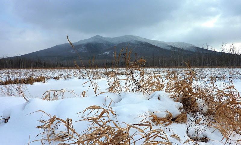
Cherry Mountain from Moorhen Marsh area of Pondicherry
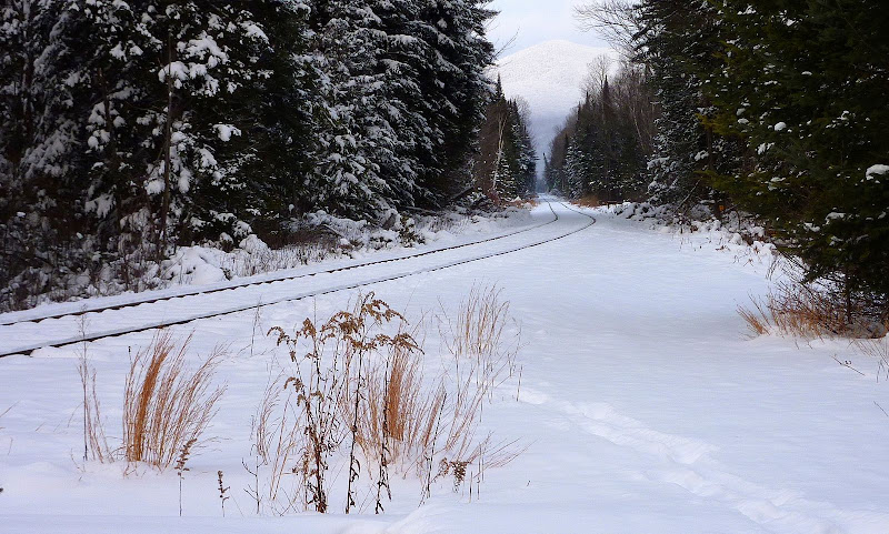
Train Track Running Through Pondicherry Area
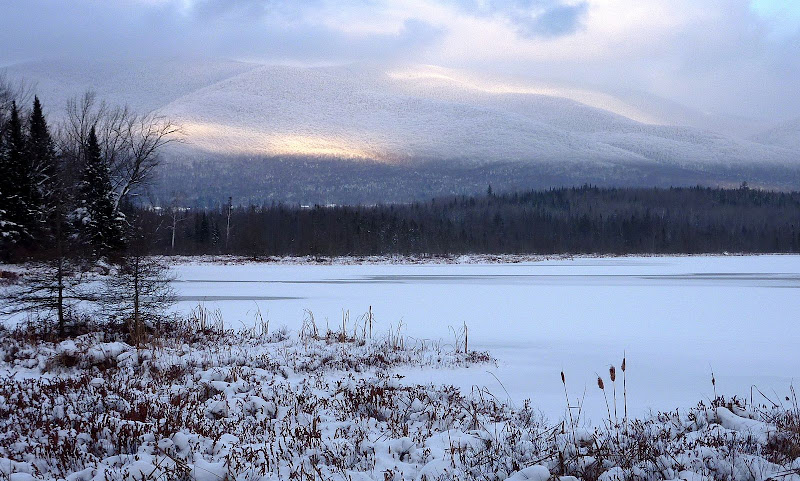
Looking Across Cherry Pond toward the Pliny Range
= = = = = = = = = = = = = = = = = = =
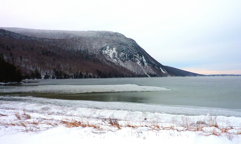
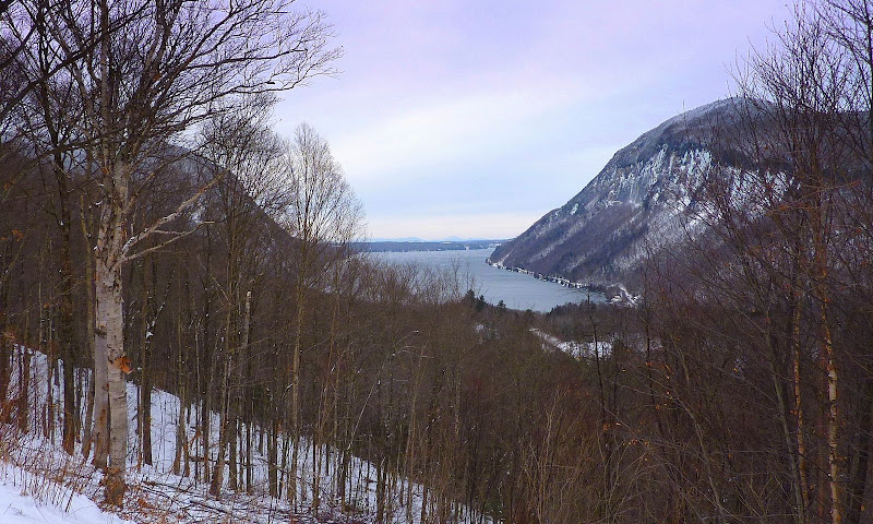
DAY 2: LAKE WILLOUGHBY AREA (VT)
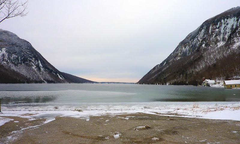
View from South End of Lake Willoughby
Another View from South End of Lake Willoughby
Scene from a Viewpoint above Lake Willoughby
1HappyHiker
The second day was spent doing a quick exploration of the Lake Willoughby area of Vermont. It's less than an hour's drive from my home in Bethlehem. I've driven through that area, but never had the opportunity to explore it on foot. I only had time to scratch the surface. It's a lovely area, and I'll likely be doing some other forays to that vicinity at some point.
There's really nothing more to say. And so, in keeping with this report's title of short days & short hikes, this is a SHORT report!
For what it's worth, below are a few snapshots from the two locations. Both days were quite overcast and so the "point & shoot" photos are a bit flat due to low lighting.
DAY 1: PONDICHERRY AREA (NH)
Cherry Mountain from Moorhen Marsh area of Pondicherry
Train Track Running Through Pondicherry Area
Looking Across Cherry Pond toward the Pliny Range
= = = = = = = = = = = = = = = = = = =
DAY 2: LAKE WILLOUGHBY AREA (VT)
View from South End of Lake Willoughby
Another View from South End of Lake Willoughby
Scene from a Viewpoint above Lake Willoughby
1HappyHiker
Last edited: