una_dogger
Well-known member
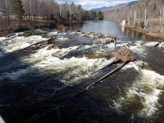
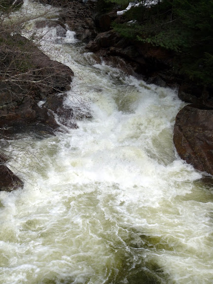
The Pemi is really up there
http://waterdata.usgs.gov/usa/nwis/uv?01074520
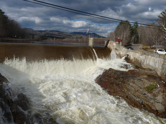
600-700 cfs is usually right around the upper limit of my comfort Zone.
http://waterdata.usgs.gov/usa/nwis/uv?01074520
600-700 cfs is usually right around the upper limit of my comfort Zone.