Who Bushwacks

vftt.org

Help Support vftt.org:

This site may earn a commission from merchant affiliate links, including eBay, Amazon, and others.

Do you bushwack with a GPS only?

  • I use a GPS only for marked trails in place of Map & Compass

    Votes: 0 0.0%

  • Total voters
    59

Little Rickie

New member
Joined
Dec 13, 2007
Messages
1,826
Reaction score
124
Location
Rochester, New York
After reading the map & compass VS GPS thread (and I do carry a GPS) I started to think do I really need a GPS on some of these Adirondack Trails? I mean some of them are like highhways. I use a GPS to keep track of elevation and millage and yet had to locate myself on a map for back up using it. So I thinking the bushwackers must be the ones using the GPS the most?

So who bushwacks?
 
Last edited:
:) At least right now, my vote is not a secret ballot!
 
I didn't respond to your poll, because while I bushwhack at least once a week, mostly I'm doing it in the West, and there are many differences between East Coast and West Coast bushwhacks. By West Coast I'm referring to anything from central CA south. Above that, and especially in OR and WA - when you get into the coastal rainforests - it's in a league by itself!

I didn't use a GPS during my first round of the various lists in the NE. I used a map, but didn't need a compass, when I did the ADK 46's. Personally, I found the hardest part of the so-called "trail-less peaks" to be the first 100 yards or so because of all the herd paths, but eventually they coalesced. I did have an altimeter watch, and that helped with navigation.
 
Where's the option for "I bushwhack, but use neither" ? :(
 
I'm not sure if I should respond to this poll, since I assume you are asking a HIKING-related question. I bushwhack fairly often in my work - GIS mapping: capturing points & establishing boundaries, recording features with GPS waypoints. Recreationally, I prefer to stick to established trails. Climbing over blowdowns, fighting my way through brambles, getting laced with cobwebs, and slogging through wetlands is all very well and good if you are being paid to do it. I'll pass on bushwhacking to some viewless peak on days off. (If it had a view, they'd have built a trail.)
 
We use both. The GPS confirms our trip route and comes in handy when faced with go arounds to get back on route.

I like using the GPS track log as a reference later to see just how well we stayed on course.

Marvelous technology!
 
John Rambo had no compass, had no map, and GPS did not exist. If he can do it, I can do it. :D

Seriously, I don't know why people have been making such a fuss about compass/map vs. GPS. To each their own. Whack your own whack I say. I personally have used both mediums. I prefer neither over the other since frankly I rely more on reading the terrain than anything else. But since I am usually heading for a pretty prominent goal that is no big deal. If I were doing a lot of cross country whacking then maybe it would change my view. But for now I say 'use what ya brung.'

Brian
 
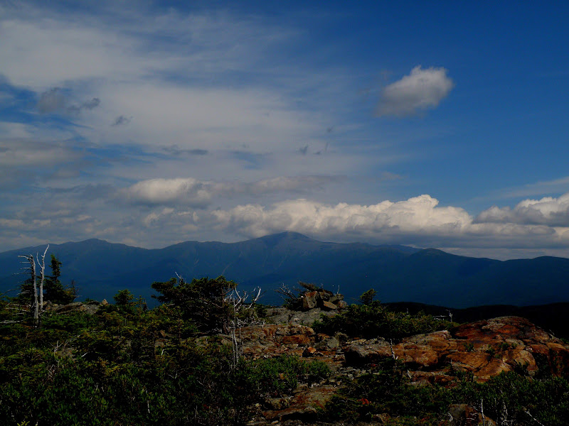
No trail or herd path to this summit. 280 degree sweet views.:cool:

P7080137.JPG
 
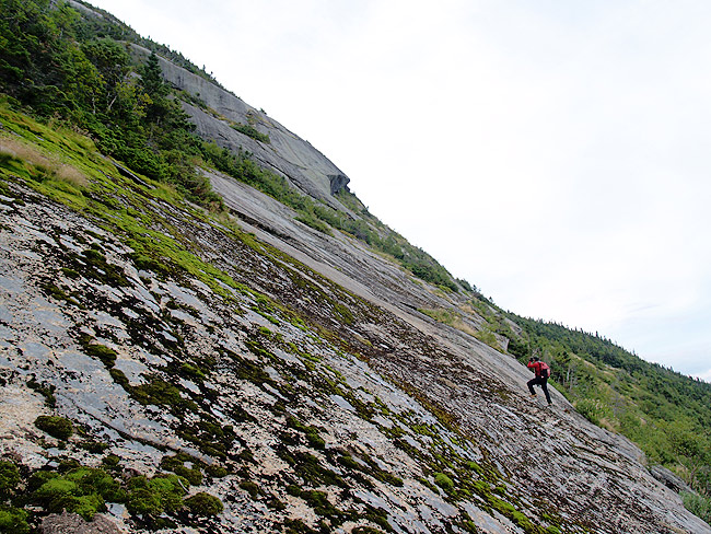
Fantastic pic Joe! Inspired me to post this one from the Dacks. No trail here either:

neil_mid_rainbow.jpg
 
I carry a gps but use it mostly for the altimeter. I usually use a compass. The only "instinctual" (is that even a word?) bushwhacker I ever hiked with is Neighbor Dave. No GPS / rarely compass and he always gets there. I think his frontal lobe has activated one of those gizmos the rest of us lost.
 
I carry a gps but use it mostly for the altimeter. I usually use a compass. The only "instinctual" (is that even a word?) bushwhacker I ever hiked with is Neighbor Dave. No GPS / rarely compass and he always gets there. I think his frontal lobe has activated one of those gizmos the rest of us lost.
Some people are simply always oriented. My father was one*--he always knew which direction north was and always gave driving directions in the form of turn <compass direction> which often meant nothing to the driver (who had to ask left or right?). He was also a very good map reader--I don't know if he ever tried bushwacking, but he would have had little difficulty with the navigation.

* However, he did once admit to being disoriented after being in a large cave for several hours... :)

Australian Aborigines are culturally oriented--they also give directions in terms of the compass directions. And they probably did a bit of bushwacking on occasion too (with neither a map nor a compass...).

Doug
 
@ Brian, Joe, and Neil,

O.K., O.K. I stand corrected. Actually, I have been to some beautiful places when bushwhacking, too. (Was just out at a remote pond recently.) But I still won't peakbag a viewless peak unless it has some nice scenery along the way.
 
No GPS / rarely compass and he always gets there.
I knew a guy who traveled the Belknap Range every weekend before the trails were built just using a map, he didn't know how to use a compass. I offered to teach him and said it was no more complicated than balancing a checkbook, and he said he just assumed the bank got it right.
 
Top