jrichard
New member
Looks like it's still on.
I guess they haven't updated that page yet. I just heard from a friend that they did cancel it.
 I'm sure I'll get the cancellation email soon. Now what to do, now that my schedule is free.
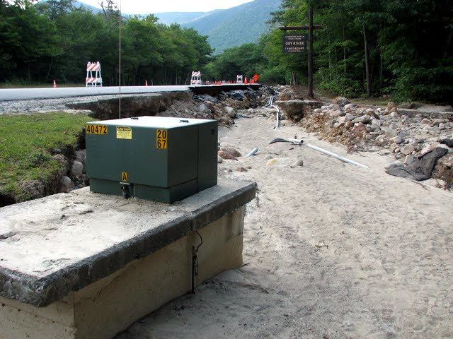
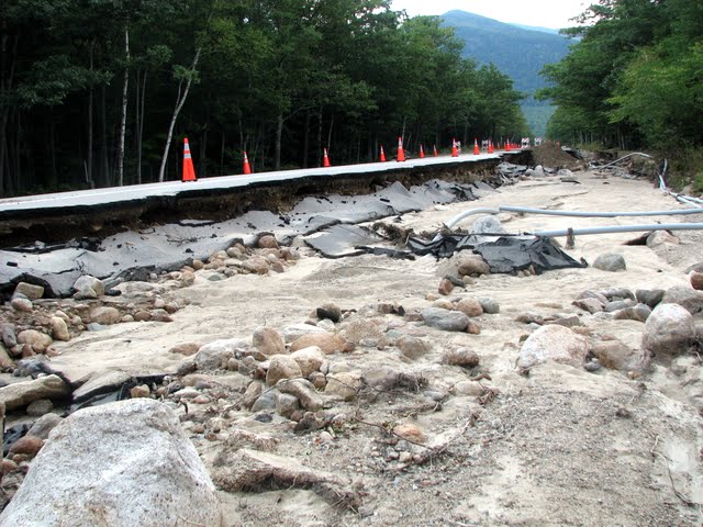
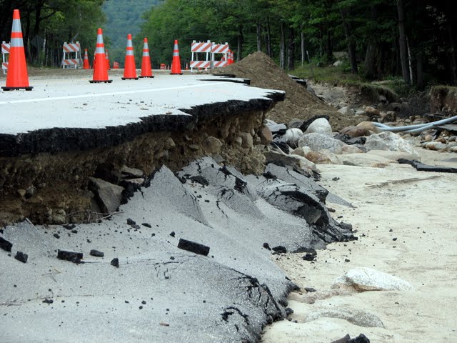
 Would Franconia notch be more or less crowded due to the storm aftermath?