Old photo of Franconia Ridge

vftt.org

Help Support vftt.org:

This site may earn a commission from merchant affiliate links, including eBay, Amazon, and others.

Mongoose

New member
Joined
Jan 5, 2004
Messages
278
Reaction score
14
Location
Hanson, MA
I posted this photo here years ago and it was determined it was Franconia Ridge. I can't find the old thread though? Does anyone know exactly where this photo was taken from? I'd like to go to the same spot and get a modern day photo. The stone wall might still be there. We're not completely sure who took the original photo, it's been in my family for years.

DsQwG.jpg
 
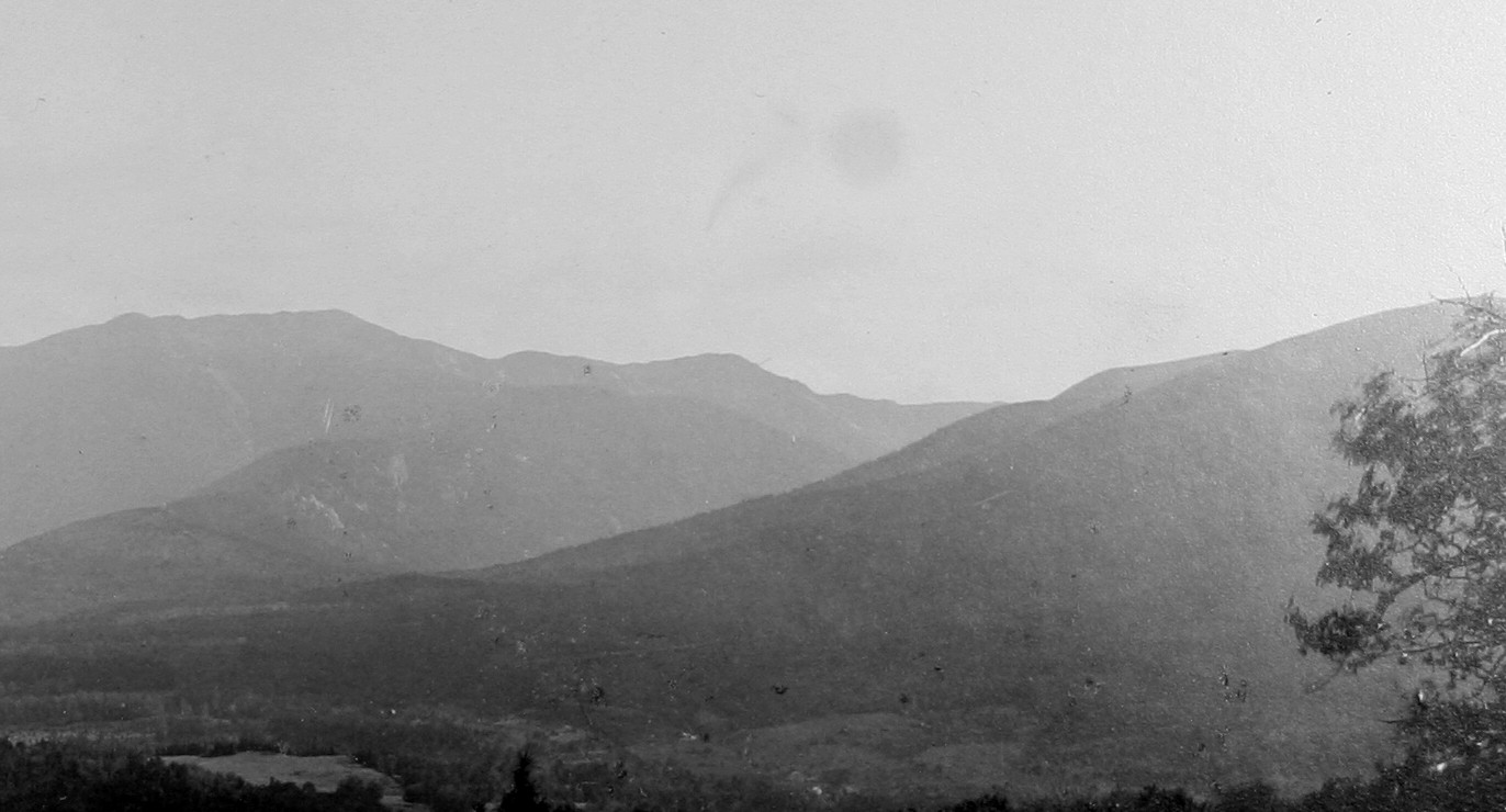
No, that's not any lake that's currently in existence. Echo would be much closer to the Notch. Maybe the picture itself is clearer, but my first guess would be that that's a field. If it is, in fact, water, it must be some sort of a man-made body from the Gale being dammed up somewhere, either from the old iron works or a mill or something. But it looks to me like it's upstream from town, not right in town, which would eliminate the ironworks.

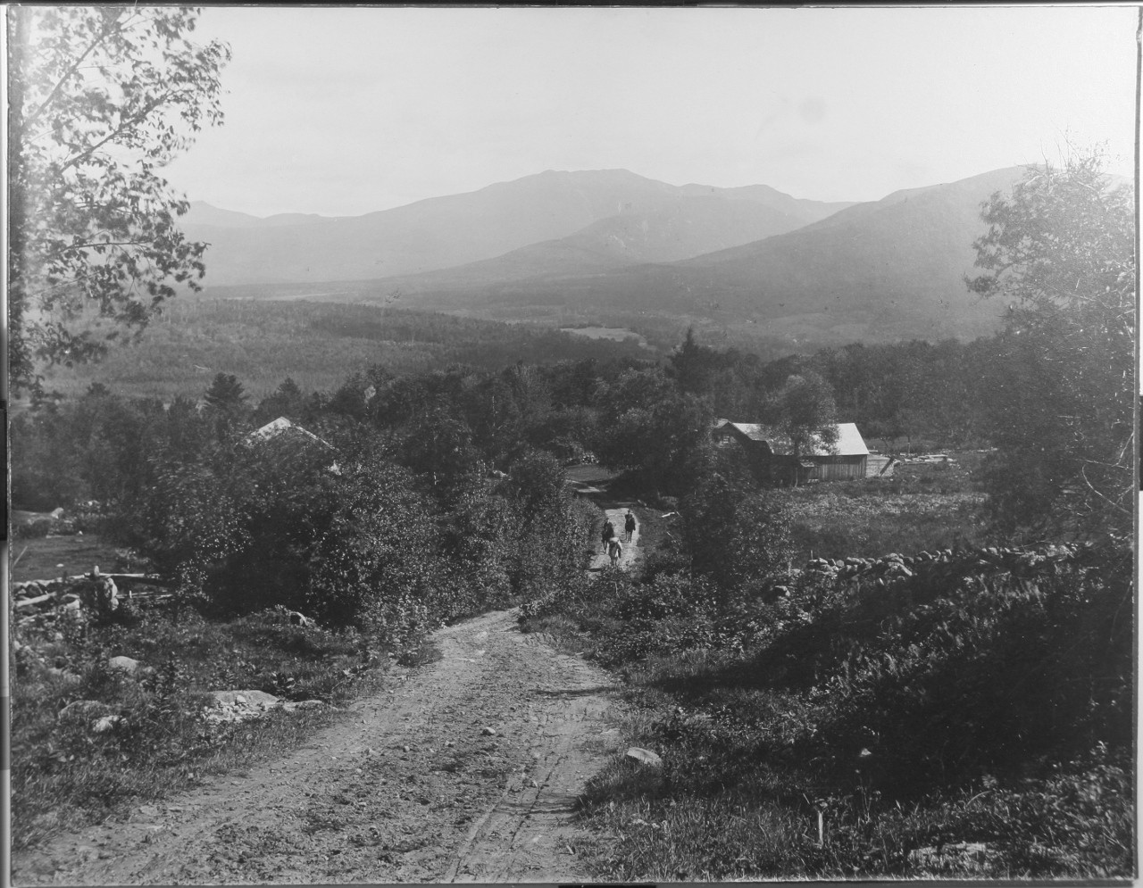
Lovett's field is a possibility (near where Black Brook hits Lafayette brook and 141 branches off), or perhaps the field across from the fire station -- which might well have been flooded at some point in time as it's not much higher than Gale level.

And yes, cool picture. Do you have any more from that era?

ETA: And yes, I would agree that that is from the 117 area of Sugar Hill, probably up in the neighborhood of Polly's.
 
Last edited:
Maybe, but I think it's more likely a bit down the hill from Sunset Hill House. I would guess that it was taken somewhere between the current Polly's and the current Ledgeland, which is just up the hill a bit above Polly's. If it's clear tomorrow, I'll try to take and post a couple of pictures from a few spots in that area. I'll be nearby.

Mongoose, is the open spot a field?
 
Perhaps Mongoose’s family photographer was getting his or her own version of the picture post card image. There are some areas that are so popular that photographers refer to them as ‘‘tripod holes,’’ as though there are holes worn into the ground by countless photographers setting up their tripods in the exact same place to shoot the exact same scene.

I was a member of a camera club years ago, and we once went on a field trip to the Woodstock, Vermont, area to visit some of its tripod holes: the Jenne farm, Gray farm, sugar shack, twin barns, I forget them all. Cloudland Road was the site of many of them. The village of Waits River was another.

Perhaps this scene is — or was — a New Hampshire tripod hole.
 
Here are a few pictures from slightly different vantage points. Tree growth, power lines, and limited time made it a bit difficult to take pictures comparable to the OP's.

From the official viewpoint at Sunset Hill House:

2hx386h.jpg


From the parking area across from Polly's; lighting/colors are a bit off; obviously the flatness eliminates this precise spot.


ivy4bp.jpg


From Lover's Lane. I thought of this area because the steepness of some of the hills on this road is similar to the steepness in the OP's picture.

xeiq6u.jpg
 
That looks close. I wonder if the road still exists? I bet the stone wall is still there.

Here's a more detailed photo of the peaks. If you line up the summit of lafayette with the rock slides below it, you can get the angle from the summit the photo was taken from.

http://i.imgur.com/yAyvh.jpg

yAyvh.jpg
 
Top