grouseking
Well-known member
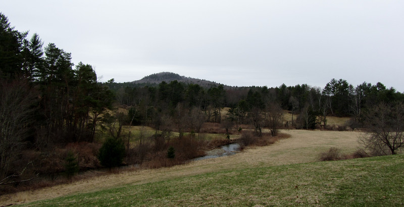
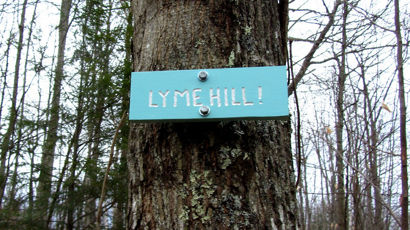
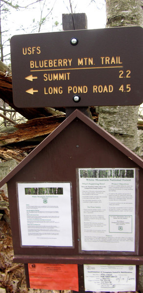
One of the lovely advantages to actually having a car and license is, I can choose to go where I please. This weekend (my weekends are Thur thru Sat) I decided on three different places to visit..Blueberry Mtn in Benton, Green Mtn in Claremont, and some Lyme, NH conserved lands. I will start with Blueberry Mtn-
Friday was a spectacularly warm day (temps in the low 70s at the trailhead for Blueberry Mtn).
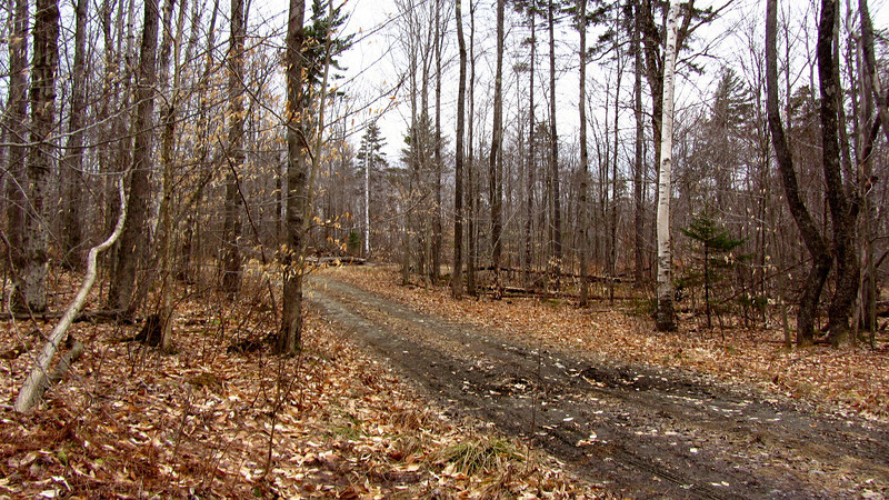
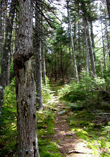
The first mile or so was a logging road, so I made quick time on this part. It is pretty amazing seeing all the trees cut down, but it isn't that appealing to the eye. Fimally, I made it to the actual trail-
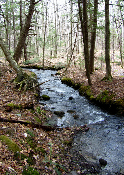
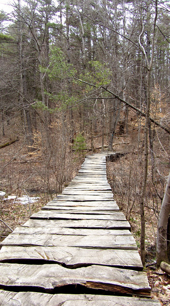
The trail was quite muddy, especially down low, with occasional crossings-
There were a few patches of ice and snow, but they are offically more of the exception than the rule. In fact, even up high in the spruces, there was completely bare ground.
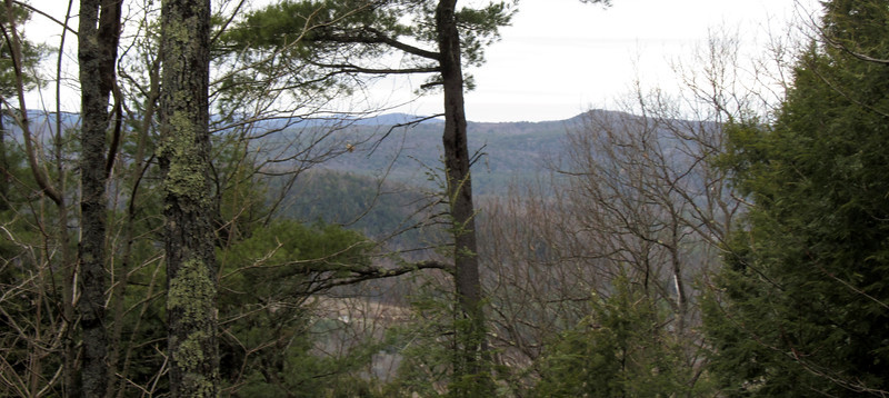
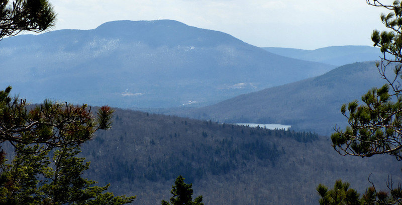
The first interesting view I noticed was of Mt Cube and a piece of Lake Armington
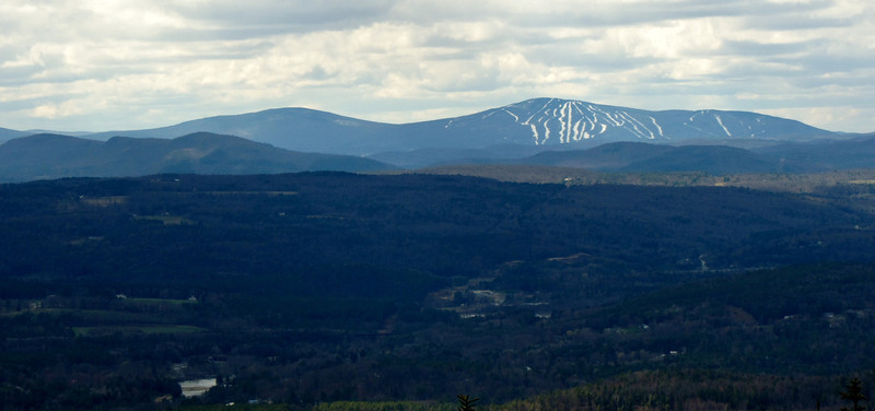
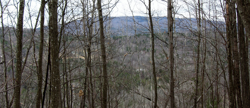
Looking west..the Signal Mtn range in VT in the distance
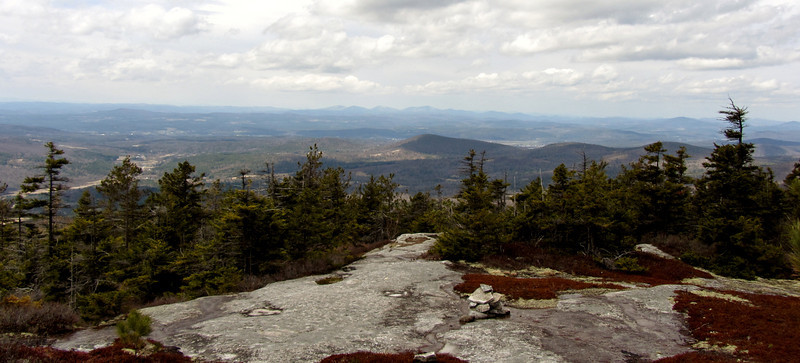
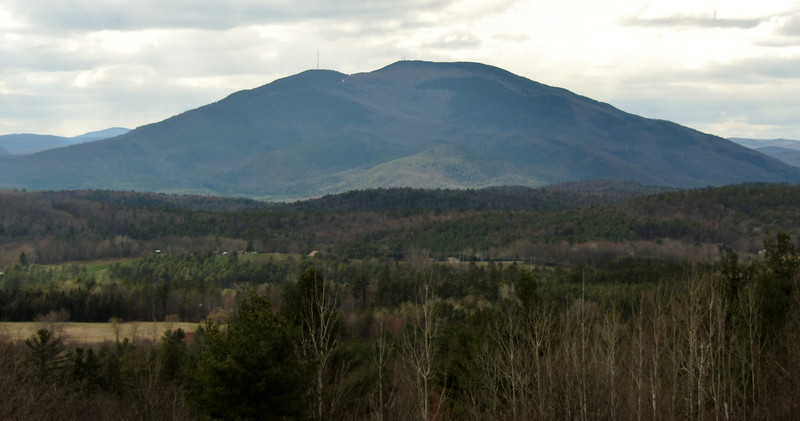
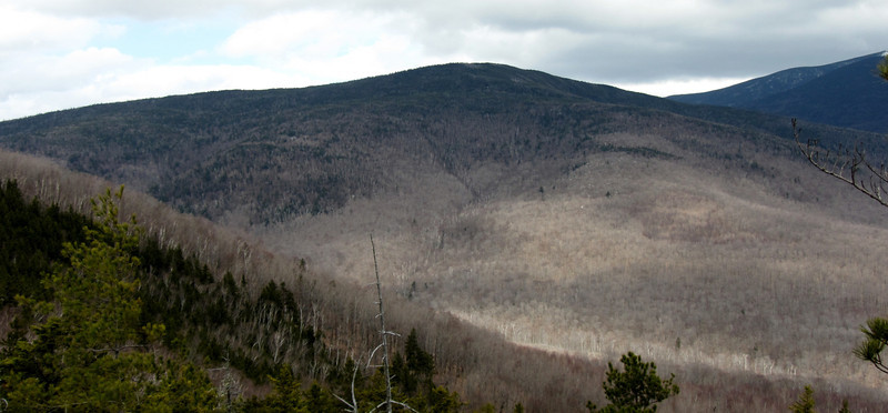
I visited the summit, but was unimpressed with the views. If the trees had been shorter, it would have great. But alas, I knew an awesome view to Moosilauke lay ahead of me.
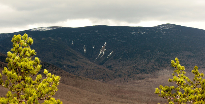
I walked around to get a neat view of Clough-
By now the weather was starting to deteriorate slightly...the winds were cranking! I decided it was time to head back just in case I was swept up in a sudden downpour.
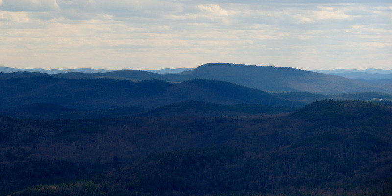
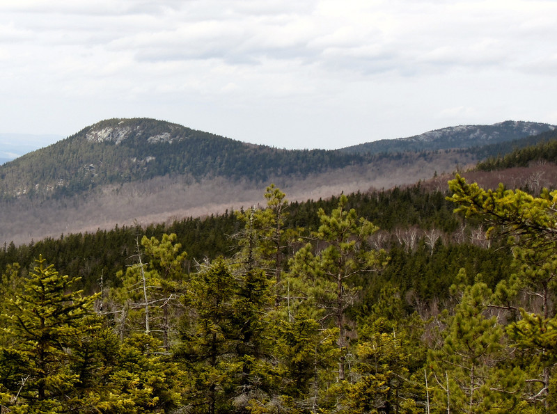
A look along the Benton Range...I'd love to hit up those peaks.
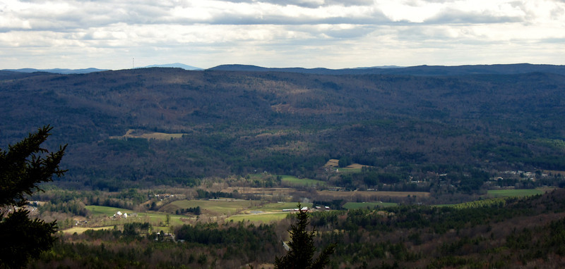
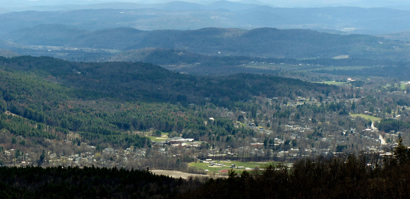
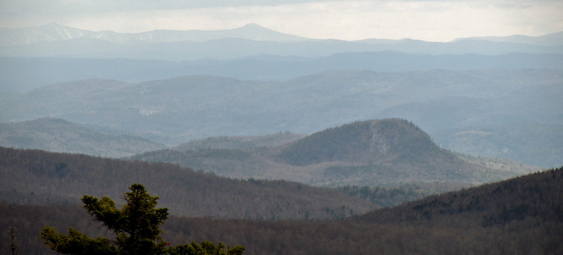
From Killington to the mini sugarloaf (I would love to hike that little peak too, but I think it might be on private property)
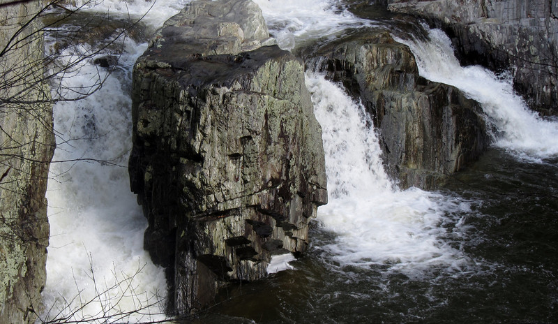
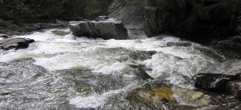
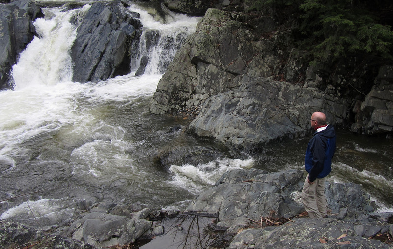
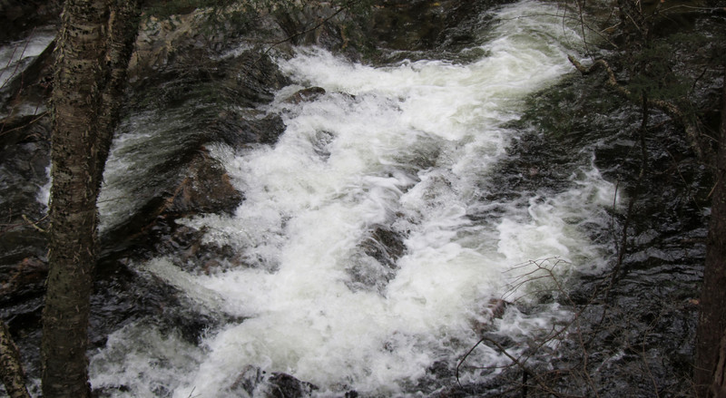
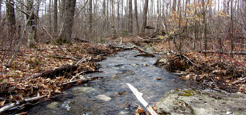
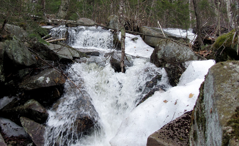
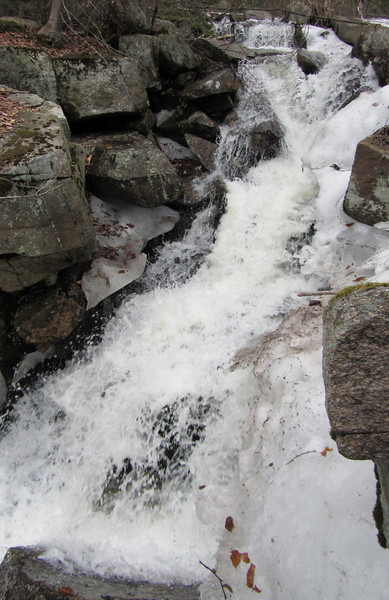
I made great time heading down, and made a short bushwhack to check out some snowmelt cascades.
From there, it was a quick walk back to the car, well before weather turned for the worse.
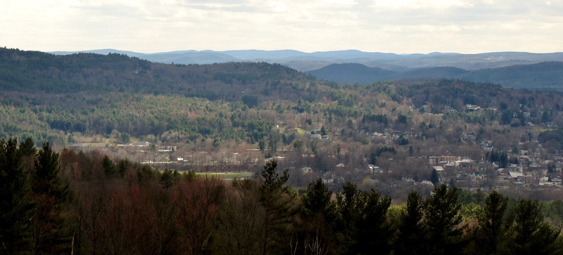
Green Mtn is next!
Friday was a spectacularly warm day (temps in the low 70s at the trailhead for Blueberry Mtn).
The first mile or so was a logging road, so I made quick time on this part. It is pretty amazing seeing all the trees cut down, but it isn't that appealing to the eye. Fimally, I made it to the actual trail-
The trail was quite muddy, especially down low, with occasional crossings-
There were a few patches of ice and snow, but they are offically more of the exception than the rule. In fact, even up high in the spruces, there was completely bare ground.
The first interesting view I noticed was of Mt Cube and a piece of Lake Armington
Looking west..the Signal Mtn range in VT in the distance
I visited the summit, but was unimpressed with the views. If the trees had been shorter, it would have great. But alas, I knew an awesome view to Moosilauke lay ahead of me.
I walked around to get a neat view of Clough-
By now the weather was starting to deteriorate slightly...the winds were cranking! I decided it was time to head back just in case I was swept up in a sudden downpour.
A look along the Benton Range...I'd love to hit up those peaks.
From Killington to the mini sugarloaf (I would love to hike that little peak too, but I think it might be on private property)
I made great time heading down, and made a short bushwhack to check out some snowmelt cascades.
From there, it was a quick walk back to the car, well before weather turned for the worse.
Green Mtn is next!