grouseking
Well-known member
Disclaimer: I asked permission to hike both of these peaks
Back on 4/27, I hiked to mountains in Piermont NH. The first one was Piermont Mtn...I went up a trail out of a summer camp, and came down a trail to another summer camp, and walked about 2 miles on the road back to the car. The interest of Piermont Mtn stems back to when I worked at one of those camps. I have been to the summit several times, but wanted to explore the trail out of the other camp. Here we go-
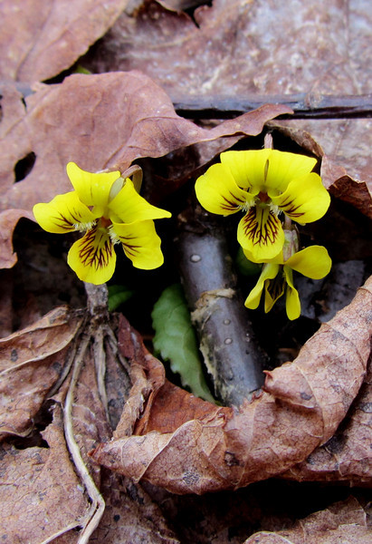
First yellow violets I have seen
And how about some spring beauties!
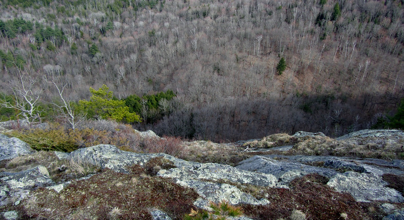
There was a nasty logging cut about halfway up, so the trail was obliterated for a bit. Advanced trail finding skills were needed for a bit. After the logged section, the trail got pretty steep for a period, and then crested a few false summits, before winding its way to the top.
I startled a moose near the summit, and here is some of the remnants-
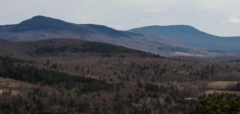
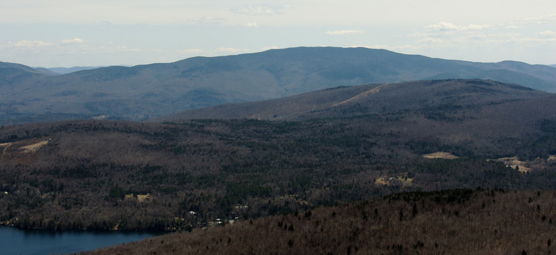
Now, the summit, which has spectacular views of the western white mtns-

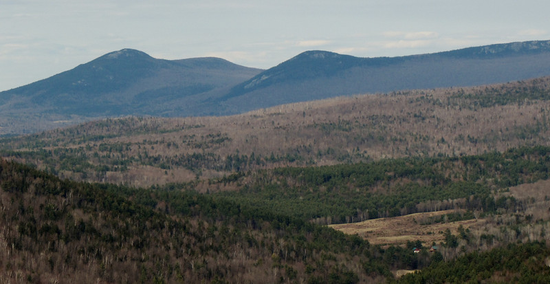
Moosilauke front and center, with Webster Slide Mtn below
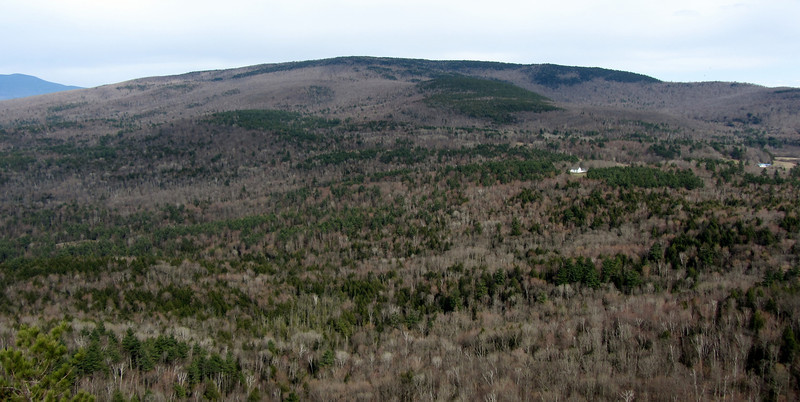
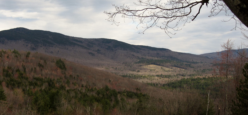
A neat view of the Benton Range
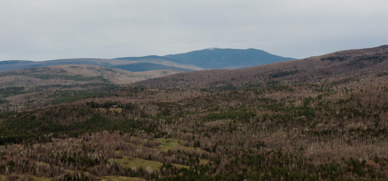
Long ridge of Carr Mtn
On the way down, I ran into the same logging section on the 2nd trail. It was worse on this side, and it took 10 min to pick up the trail again. Luckily I had hiked this side before, so I knew where the trail went.
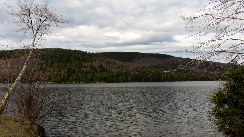
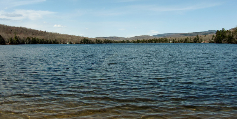
Now at the bottom-Lake Armington
In less than an hour, I was back at the car. Hike 2 is next!
Back on 4/27, I hiked to mountains in Piermont NH. The first one was Piermont Mtn...I went up a trail out of a summer camp, and came down a trail to another summer camp, and walked about 2 miles on the road back to the car. The interest of Piermont Mtn stems back to when I worked at one of those camps. I have been to the summit several times, but wanted to explore the trail out of the other camp. Here we go-
First yellow violets I have seen
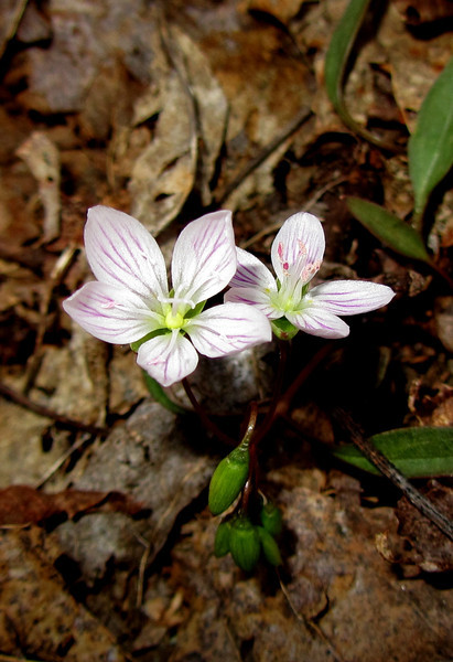
And how about some spring beauties!
There was a nasty logging cut about halfway up, so the trail was obliterated for a bit. Advanced trail finding skills were needed for a bit. After the logged section, the trail got pretty steep for a period, and then crested a few false summits, before winding its way to the top.
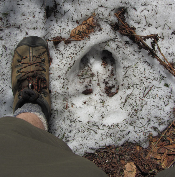
I startled a moose near the summit, and here is some of the remnants-
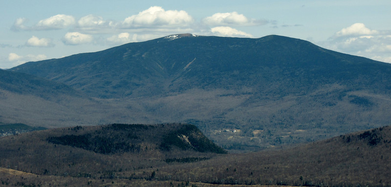
Now, the summit, which has spectacular views of the western white mtns-
Moosilauke front and center, with Webster Slide Mtn below
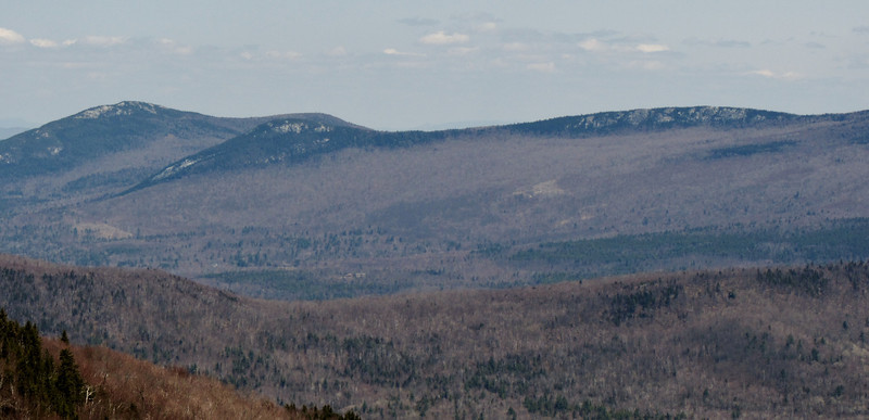
A neat view of the Benton Range
Long ridge of Carr Mtn
On the way down, I ran into the same logging section on the 2nd trail. It was worse on this side, and it took 10 min to pick up the trail again. Luckily I had hiked this side before, so I knew where the trail went.
Now at the bottom-Lake Armington
In less than an hour, I was back at the car. Hike 2 is next!
") But seconds later, the deer saw me and ran off, leaving the summit to me.
But seconds later, the deer saw me and ran off, leaving the summit to me.