Mt Rogers Virginia

vftt.org

Help Support vftt.org:

This site may earn a commission from merchant affiliate links, including eBay, Amazon, and others.

Grey J

Active member
VFTT Supporter
Joined
Jul 24, 2013
Messages
683
Reaction score
66
Location
Chattanooga TN
My wife and I climbed Mt Rogers, at 5729 feet, the highest point in Virginia, on Tuesday 9/24. It was an absolutely perfect day with temps in the 70s, warm, sunny, dry, low humidity, ideal early fall conditions. We approached the summit from the south side starting at Massie Gap in Grayson Highlands State Park. This large park borders the even larger Mt Rogers National Scenic Recreation Area. By NH standards, it almost feels like cheating to begin at an elevation of 4600 feet, but the route would prove to be challenging at times despite the total elevation gain of only around 1250 feet for the round trip 9 mile hike. 3 The First Knob.jpg

We alternated relatively flat or modestly inclined traverses of the bald high mountain meadows with steep and difficult scrambles up and down the rocky knobs. The views were distant and amazing and although I am unfamiliar with the specific names of the peaks we could see, I am certain that the views extended into Tennessee and North Carolina.14 SW View L.jpg

The summit of Rogers is a tiny spruce/fir pocket that is nothing like the rest of the hike. 21 Spruce Fir Pocket.jpg

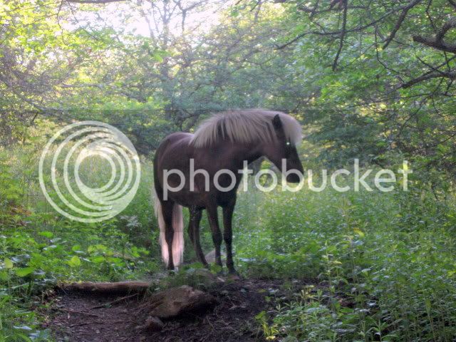
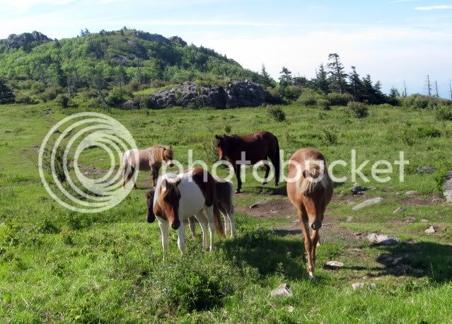
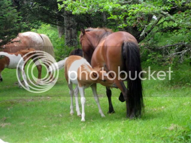
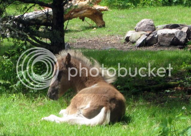
Surprisingly, there are no views from the actual summit but the views all along the way make up for that. The route includes a couple of miles of the Appalachian Trail and the area is criss-crossed by horse trails as well. 5 Horse Trail Crossing.jpg

This is only my 6th state highpoint on another list that I will surely not complete. Highly recommended. 20 Summit Spur.jpg

My first time loading photos so I hope I did it right.
 
Last edited:
Your photo links worked just fine. :)

Nice report. Great hike, for sure, and definitely a strange feeling to hike up into the trees after spending so much of the trek in the open.
 
You didn't mention the "wild" ponies. Weren't they there?

Hi Ed. Yes they were there and I realized later that I had left them out of my report, probably because I failed to get a good photo of them. Just below Thomas Knob Shelter we ran into 6 of them and witnessed a colt feeding with mother. Later on, a very pretty camel colored pony with blond locks "charged" me only to nuzzle my arm and beg for food I imagine. We had scrupulously kept our distance so this up close encounter was surprising. Of course we resisted the urge to feed him and he eventually drifted off. Camera stayed in my pack and I completely forgot to get a picture. The ponies were an added pleasure. Would you say they are "semi-wild"17 Thomas Knob Shelter 5400 ft.jpg?
 
The ponies were an added pleasure. Would you say they are "semi-wild"View attachment 4742?

When you read articles about them they are generally described as "wild ponies". On the other hand there are those who insist that since they are fenced in they are not "wild". It's all in the definition. Since they've never been ridden but are fenced in I suppose "semi-wild" would fit. It's obvious they are used to people, but so are some bears. :eek: The only edgy moment we had with them was when there was a mama with a young one and she felt Lauky was a bit to close. The ponies were the highlight of the hike in for me with the views a close second. For Lauky, no question it was the ponies. He was good with them though.
 
Here are a few pictures of the ponies that I dug up.

002-8.jpg


016-8.jpg


034-7.jpg


036-5.jpg
 
Ahhh hiking in the south. My son and I visited the summit of Mt Rogers a couple summers ago, we also did Mt Mitchell and Clingmans. I liked Mt Rogers because it is an actual hike. We were there in the summer so the wide openness of the area added to the heat, it was nice to hide out at the summit in the shade! It was cool to be on the AT so far from our usual area of hiking on it, gives one added perspective on what and where the through-hikers travel. I find it surreal walking where so many boots have travelled before, all with their own story, so your report brought me back to my own visual memories.
If you go to Mt Mitchell or Clingmans, you almost have to invent a hike due to their proximity to the summit roads.
BTW the shelter in your photos was a construction zone when we passed thru, as a volunteer group was doing a major repair to it, it looks great!
ctsparrow
 
The pony heard is supposedly managed every year to keep the herd at an acceptable size, young animals are removed from the herd and sold.This is (or was) a managed cattle herd and pens immediately adjacent to area where the ponies hang out.

The spruce fir remnant forest is supposedly the farthest south occurrence of its type. I say reportedly as I expect the smokies may have something close but nevertheless when I was several weeks into a long section hike in 2002 it was a welcome a reminder of home.

The state park on top of Mt Rogers gets qite beat down but the approach via the AT from the south is nice overnight.
 
My son and I visited the summit of Mt Rogers a couple summers ago, we also did Mt Mitchell and Clingmans. I liked Mt Rogers because it is an actual hike. If you go to Mt Mitchell or Clingmans, you almost have to invent a hike due to their proximity to the summit roads.

ctsparrow

I know what you mean. They've virtually made them into drive-by summits. If I remember correctly, we did about a 4 mile round trip hike from Clingmans to Andrews Bald that got us away from the tourists. Orange flame azaleas were blooming up there at the time and the views were terrific.

Hey Ed, I think that first picture of the pony with the blond mane is the one who nuzzled me. Or his twin.
 
Speaking of highpoints and horses, I thought the truly wild horses on Boundary, Nevada were pretty cool. Definitely could place a wager on one of these guys. Apparently, wild horses are so common out that way that they are considered a bit of a nuisance. The ones I saw looked pretty healthy.

img023_zps785caff2.jpg
 
Ahhh hiking in the south. My son and I visited the summit of Mt Rogers a couple summers ago, we also did Mt Mitchell and Clingmans. I liked Mt Rogers because it is an actual hike. We were there in the summer so the wide openness of the area added to the heat, it was nice to hide out at the summit in the shade! It was cool to be on the AT so far from our usual area of hiking on it, gives one added perspective on what and where the through-hikers travel. I find it surreal walking where so many boots have travelled before, all with their own story, so your report brought me back to my own visual memories.
If you go to Mt Mitchell or Clingmans, you almost have to invent a hike due to their proximity to the summit roads.
BTW the shelter in your photos was a construction zone when we passed thru, as a volunteer group was doing a major repair to it, it looks great!
ctsparrow

There are a number of state highpoints with roads that go to or near the summit. Mount Washington is an example, Mount Mitchel is another. However, just because a road goes up there doesn't mean there is no trail. The Mt. Mitchel trail starts at the Black Mountain campground. It is 5.7 miles to the summit or ll.4 miles round trip. The elevation gain is 3700' pretty much what you have to do to climb Washington from the Cog Railway. Brasstown Bald the Georgia highpoint has a parking lot .6 miles from the summit with a shuttle that will take you to the top. At the same time there are three trails coming up from the valley, the longest is a 15 mile round trip.
 
Mount Rogers is a great respite from the tree tunnels in that part of the country. Long, expansive views and open fields for quite a few miles of hiking. I took my wife there for her first true backpacking experience (3 days / 2 nights in a tent), and lured her with the promise of wild ponies. The night up high, near Thomas Knob, we had 16 ponies come through our campsite, grazing on their dinner as we ate ours. That definitely made up for the blisters on my wife's feet! I think she's ready for the Pemi Loop next. ;)
 
There are a number of state highpoints with roads that go to or near the summit. Mount Washington is an example, Mount Mitchel is another. However, just because a road goes up there doesn't mean there is no trail. The Mt. Mitchel trail starts at the Black Mountain campground. It is 5.7 miles to the summit or ll.4 miles round trip. The elevation gain is 3700' pretty much what you have to do to climb Washington from the Cog Railway. Brasstown Bald the Georgia highpoint has a parking lot .6 miles from the summit with a shuttle that will take you to the top. At the same time there are three trails coming up from the valley, the longest is a 15 mile round trip.

Yes, indeed. I have hiked Mitchell from Black mtn campground. And more recently Clingmans from Deep Creek up Noland Divide.
 
Top