Photo of the start of the Firewarden's trail to Mt Hale

vftt.org

Help Support vftt.org:

This site may earn a commission from merchant affiliate links, including eBay, Amazon, and others.

BobC

Active member
Joined
Sep 17, 2006
Messages
536
Reaction score
69
Location
Newmarket, NH
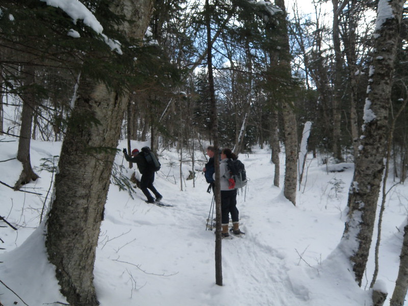
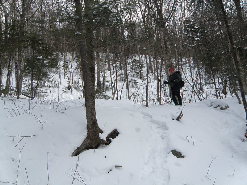
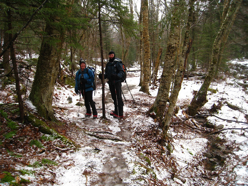
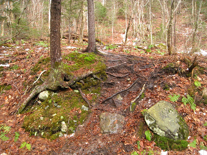
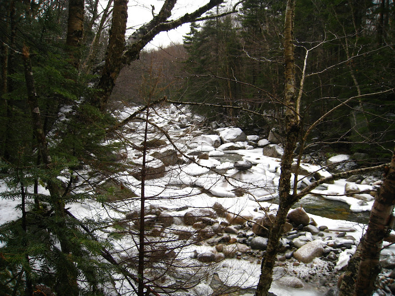
Did a hike yesterday on the Firewarden's trail to Mt. Hale. We didn't end up summiting due to a late start but I figured I would post a picture of the start of the Firewardens's trail. The skinny tree in the middle of the trail seems to be the best visual marker. The trail turns to the left on the east side of the Little River between the first and second crossings on the North Twin trail.

12407859964_5d7c035290_c.jpg


12407855014_94c62995f3_c.jpg
 
Also, JustJoe told me that the coordinates are N44 13.550, W71 32.285
 
Is there a reason why this trail was abandoned?
The Tuttle Brook Trail (which led from Twin Mtn to a midpoint on the Firewarden Tr) was also abandoned. I was in a party that followed it in the late 1970s. (It was abandoned well before we did it.)

I have no idea why either was abandoned. (As well as the Baby Twins Trail which led from the Tuttle Brook Tr to the trail between the Sugarloaves.)

Parts of the TBT and the the BTT are shown on the 24K Twin Mountain NH (1995) topo quad. The remaining part of the TBT and the FWT would be on the 24K South Twin Mountain NH (1995) topo quad, but they appear to have been removed.

Doug
 
Figure 55.2 of Forest and Crag has the map of the trail system that used to exist in the Rosebrooks and surrounding, including our Firewarden's trail.
 
Hmm, wonder if you could whack from the FW trail down the ridge to Sugarloaf...
 
Top