IQuest
New member
As I slowly fill in The Grid, I like to make littlle "mini grids" along the way, either for my winter list or for Marlie's next round of 4Ks. I have also taken on the task of redlining which IMO is more exciting than peak bagging since it guarantees seeing something new. This hike started out with Mt Eisenhower as a goal for Marlie's list. While Eisenhower is a nice peak it can be kind of a boring, short hike if only done by itself. Towards the end of the week I had caught wind that the Dry River Tr had reopened. I had my eye on the upper 4.4 miles through Oakes Gulf but was never really sure how I would get there as the Dry River Tr stretches 9.6 miles from US302 to Lakes of the Clouds Hut. I had also never been on the stretch of Crawford Path from the southern junction of the Mt Monroe Loop to the Mt Eisenhower Tr. Was there a way that I could combine these three objectives? I also needed Jackson and Pierce for September so I figured I might as well add them to the mix as well. After studying the map I came up with a crazy idea. :twisted:
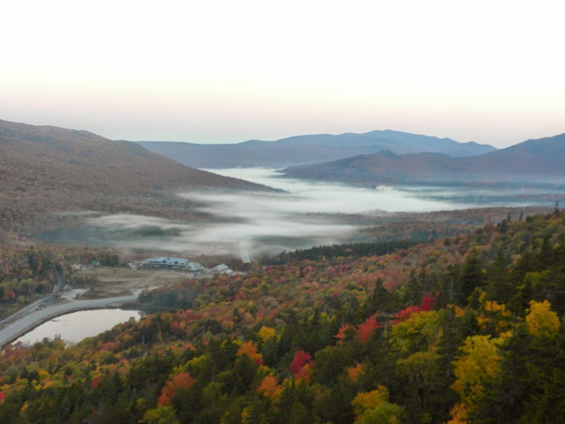
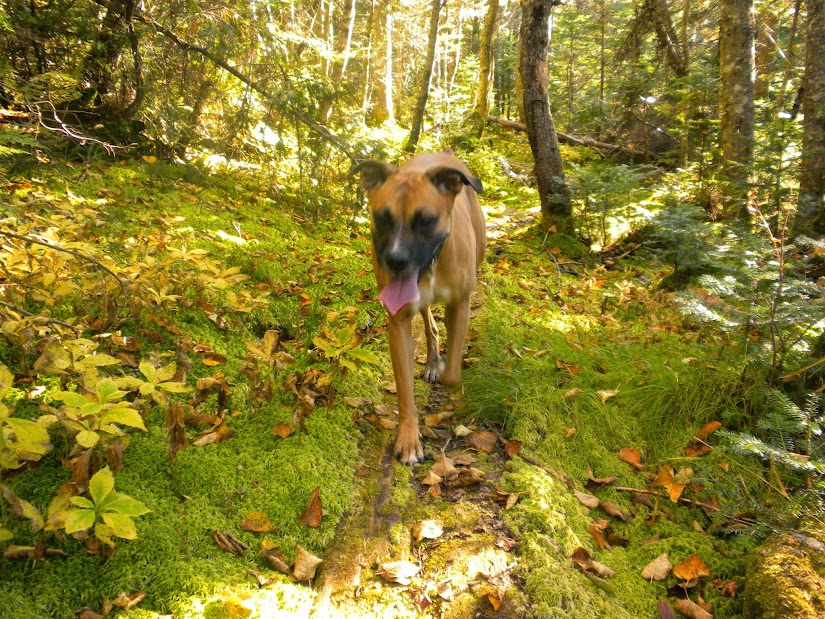
Marlie and I arrived at the Webster-Jackson trailhead just after 6 am. It was still too dark in the woods and I didn't feel like getting my headlamp out for 20 minutes so I tried to take a quick ciesta. About 5 minutes after closing my eyes I heard a noise ouside my truck. It was a little fox scurrying about the paking lot before crossing the road and heading into the woods. Finally at 6:20 it was light enough to see and Marlie and I headed up the Webster-Jackson Tr stopping at Bugle Cliff for a glimpse of some valley fog.
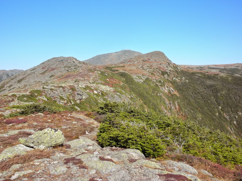
We then kept a steady pace up the Jackson Branch to the summit of Mt Jackson, which we reached at 8:00 am. From here Oakes Gulf was about 8 miles away. :shock: And I was starting to wonder what I getting into.
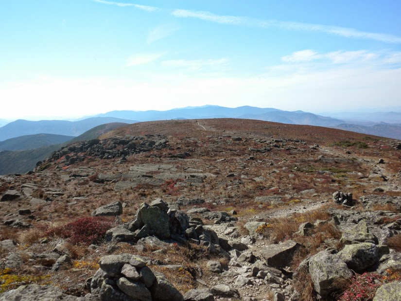
After a granola bar and a biscuit we headed north along the Webster Cliff Tr to Mizpah Hut. Then after a short side trip to Nauman Tentsite (redlining technicality) Marlie and I headed down the Mt Clinton Tr and then the Dry River Cutoff. To be honest, back in June when I was first on these trails, I couldn't imagine ever being on them again. But here we were, heading down this time.
Dry River Cutoff

At the bottom, before reaching the Mt Eisenhower Tr there are two brook crossings. At the first, go slightly upstream to find the trail on the opposite side and at the second the trail crosses next to an enormous boulder. Another option would be to descend the first brook to the confluence the ascend the second to the large boulder (the boulder is about 10 feet high). This area threw me off a bit in June and there was evidence of the same happening to others. Some trail definition in this area would be useful. Once at the Mt Eisenhower Tr we dropped down to cross a very low running Dry River then turned left on the Dry River Tr. The next 4.4 miles would be all new to me.
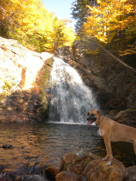
.2 miles up from the Mt Eisenhower Tr was Dry River Falls.
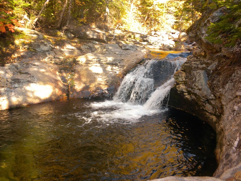
The Dry River Tr was over all in great shape. Just before Dry River Shelter #3 was this large washout.
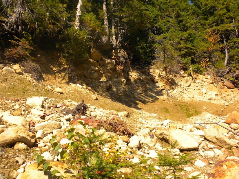
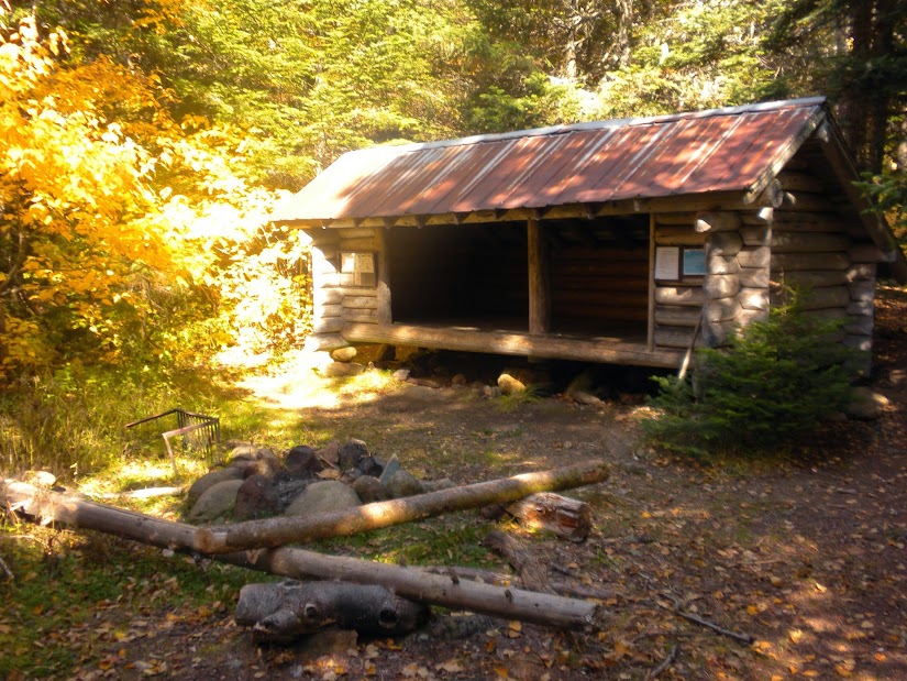
Even more impressive than the large boulders hanging above, ready to fall, was the way nature was starting to reclaim the sandy washout. Moss was already growing as well a small trees. Once at Dry River Shelter #3 I was surprised to find it in such great shape. I could smell wood smoke and the fire pit was still warm. Evidence of someone spending the previous night there.
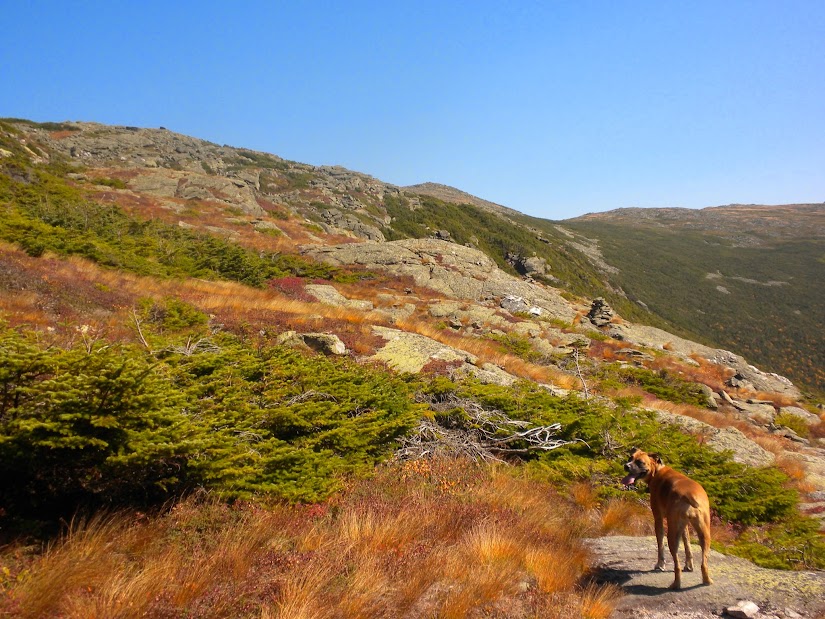
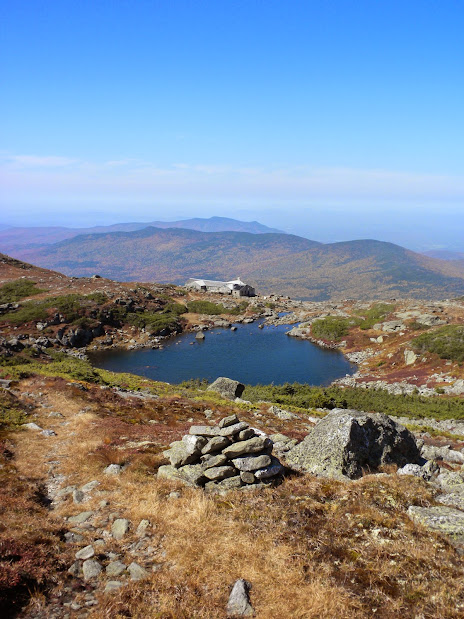
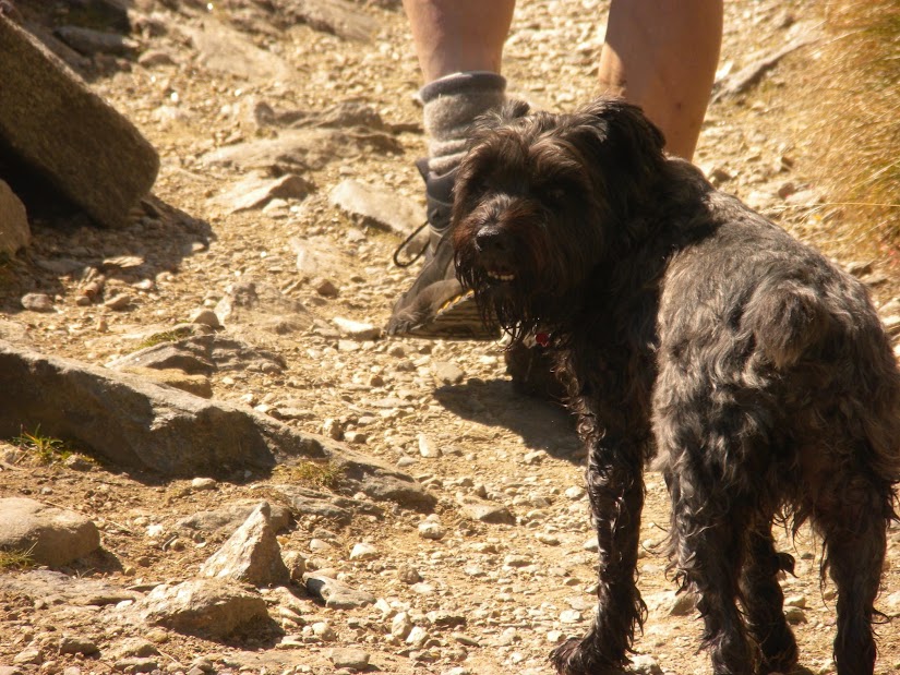
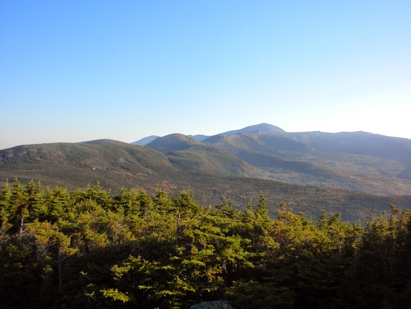
A short distance above the hut, we met Steve, a volunteer from the Mt Washington Observatory. He had been redlining trails down from the summit then hiking back up each day. As we talked, another person and his dog came up behind us. It was John and Pepper. We had last seen them in June just a few miles down the Dry River Tr at the Mt Clinton junction. It was funny and a treat to see them again. This time they were hiking the legnth of the Dry River Tr, then descending along the Davis Path and the western portion of the Isolation Tr. After saying goodbye to Steve we headed up to Oakes Gulf and climbed our way up to the Lakes of the Clouds Hut.
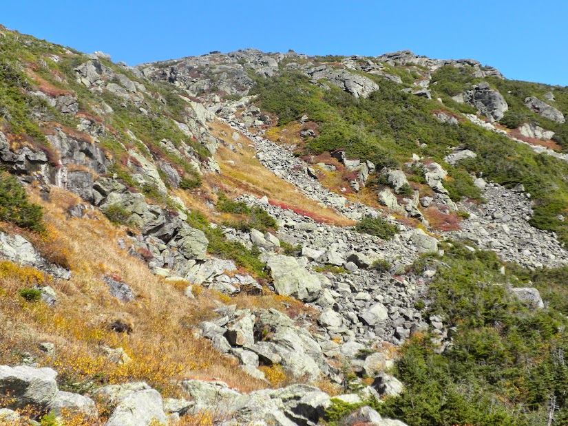
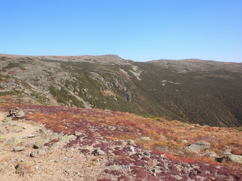
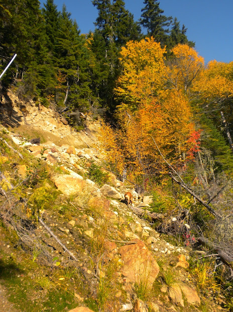
Lots of blowdowns have been cleared along the floor of Oakes Gulf.
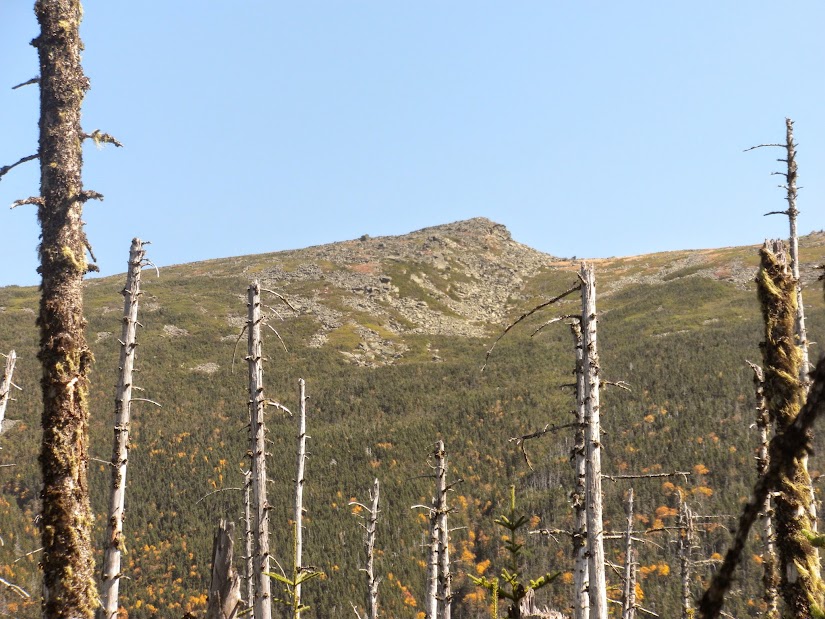
Boot Spur rises above.
Marlie and I arrived at the Webster-Jackson trailhead just after 6 am. It was still too dark in the woods and I didn't feel like getting my headlamp out for 20 minutes so I tried to take a quick ciesta. About 5 minutes after closing my eyes I heard a noise ouside my truck. It was a little fox scurrying about the paking lot before crossing the road and heading into the woods. Finally at 6:20 it was light enough to see and Marlie and I headed up the Webster-Jackson Tr stopping at Bugle Cliff for a glimpse of some valley fog.
We then kept a steady pace up the Jackson Branch to the summit of Mt Jackson, which we reached at 8:00 am. From here Oakes Gulf was about 8 miles away. :shock: And I was starting to wonder what I getting into.
After a granola bar and a biscuit we headed north along the Webster Cliff Tr to Mizpah Hut. Then after a short side trip to Nauman Tentsite (redlining technicality) Marlie and I headed down the Mt Clinton Tr and then the Dry River Cutoff. To be honest, back in June when I was first on these trails, I couldn't imagine ever being on them again. But here we were, heading down this time.
Dry River Cutoff
At the bottom, before reaching the Mt Eisenhower Tr there are two brook crossings. At the first, go slightly upstream to find the trail on the opposite side and at the second the trail crosses next to an enormous boulder. Another option would be to descend the first brook to the confluence the ascend the second to the large boulder (the boulder is about 10 feet high). This area threw me off a bit in June and there was evidence of the same happening to others. Some trail definition in this area would be useful. Once at the Mt Eisenhower Tr we dropped down to cross a very low running Dry River then turned left on the Dry River Tr. The next 4.4 miles would be all new to me.
.2 miles up from the Mt Eisenhower Tr was Dry River Falls.
The Dry River Tr was over all in great shape. Just before Dry River Shelter #3 was this large washout.
Even more impressive than the large boulders hanging above, ready to fall, was the way nature was starting to reclaim the sandy washout. Moss was already growing as well a small trees. Once at Dry River Shelter #3 I was surprised to find it in such great shape. I could smell wood smoke and the fire pit was still warm. Evidence of someone spending the previous night there.
A short distance above the hut, we met Steve, a volunteer from the Mt Washington Observatory. He had been redlining trails down from the summit then hiking back up each day. As we talked, another person and his dog came up behind us. It was John and Pepper.
We had last seen them in June just a few miles down the Dry River Tr at the Mt Clinton junction. It was funny and a treat to see them again. This time they were hiking the legnth of the Dry River Tr, then descending along the Davis Path and the western portion of the Isolation Tr. After saying goodbye to Steve we headed up to Oakes Gulf and climbed our way up to the Lakes of the Clouds Hut.Lots of blowdowns have been cleared along the floor of Oakes Gulf.
Boot Spur rises above.