1SlowHiker
New member
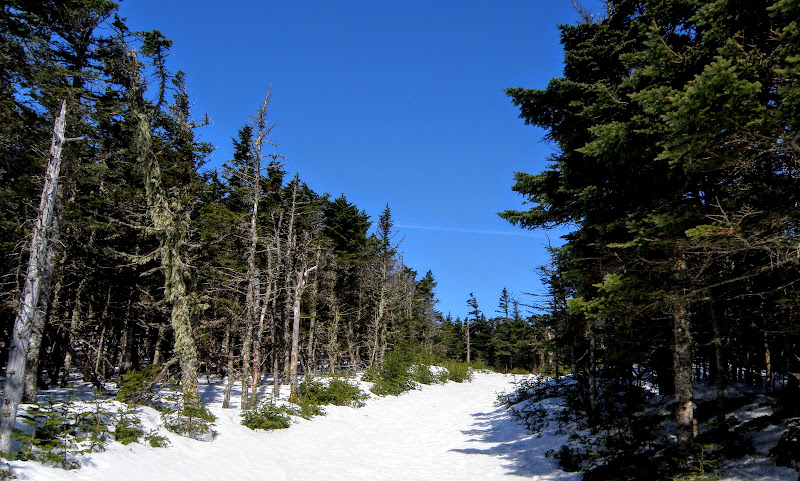
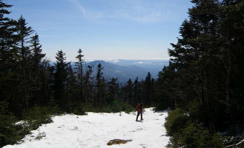
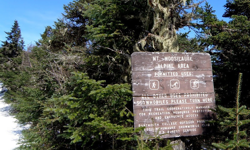
I’m hoping to do Mooselauke Wednesday (1/14/14) or Thursday. I’ve done her via Gorge Brook when the road was open but don’t want to do the winter road walk. I’m split between going from the Glencliff or Beaver Brook. Both seem to be about the same distance and elevation gain. I think both have had recent traffic. Any recommendations for which to take based on recent track conditions, crossings and exposure to wind. I think Beaver may be more shielded from predicted W/SW wind.
Also, does anyone have a source for a GPS track for Beaver Brook approach? I have a Glencliff track. Both being on the AT (I believe), its no big deal though.
Also, does anyone have a source for a GPS track for Beaver Brook approach? I have a Glencliff track. Both being on the AT (I believe), its no big deal though.
Last edited:
")