Thoreau Falls Bridge Removal?

vftt.org

Help Support vftt.org:

This site may earn a commission from merchant affiliate links, including eBay, Amazon, and others.
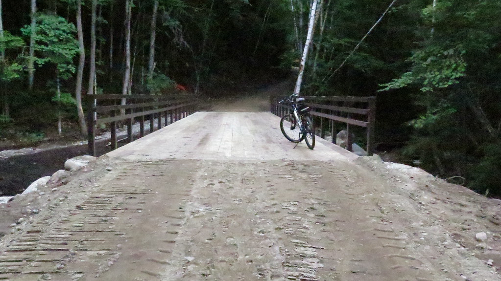
Maybe some of these dimwits would like to show us how non-essential this bridge is during high water. I'll let them go first.

I agree with Kevin. Also, give me a break on the whole "wilderness" aspect. The whole of the Whites was logged to death just 100 years ago and the region is bisected with highways including a major interstate. The bridge in question is a few miles from the Kanc. In fact, the bridge is a mile or so from the East Side Trail which you can basically drive on if the gate is open. Wilderness my ass: we all got duped letting the Feds in to manage the Whites. We get tortured garbage like this. Rebuild the f'king bridge.

-Frank
 
It will be interesting to see all the trouble they are going to go through to remove this bridge and then allow an existing scar bisecting the AT and the Kinsman ridge be expanded substantially along with a new row of towers for the NP project.
 
It will be interesting to see all the trouble they are going to go through to remove this bridge and then allow an existing scar bisecting the AT and the Kinsman ridge be expanded substantially along with a new row of towers for the NP project.

Are you proposing they put in a tunnel under the crossing? :D In all seriousness, I'm in the camp that I get their point, but I think they are missing the intent of the wilderness act. The idea was that people would still visit it. But I get it, there are structural concerns too so something needs to happen, but that report felt like it was written to justify an action, not give an honest assessment.

On a related note, has everything from the previous bridge removal actually been hauled out yet? I know a couple of winters ago there was still a lot of debris to be removed.
 
On a related note, has everything from the previous bridge removal actually been hauled out yet? I know a couple of winters ago there was still a lot of debris to be removed.

I believe the short answer is "Nope". And a lot of stuff that was hauled out was only hauled to near the Wilderness boundary, and then dropped.
 
...a lot of stuff that was hauled out was only hauled to near the Wilderness boundary, and then dropped.
The popular new campsite they created on the north/west bank of the removed bridge contributes its own blight to the area. All in all a job well done. If your job is screwing up.

Hey, let's do it again!
 
I believe the short answer is "Nope". And a lot of stuff that was hauled out was only hauled to near the Wilderness boundary, and then dropped.

Bummer. What caught me off guard when I went by that wasn't the visual so much as the smell (smelled like railroad ties, if that makes sense). That was in February a couple of years ago.
 
Bummer. What caught me off guard when I went by that wasn't the visual so much as the smell (smelled like railroad ties, if that makes sense). That was in February a couple of years ago.

No surprise, when you remember the underlying agenda, which is to reduce public access, not to protect the environment.
 
I believe the short answer is "Nope". And a lot of stuff that was hauled out was only hauled to near the Wilderness boundary, and then dropped.

If I'm not mistaken, much of that debris was hauled out by VFTT members after a lot of motivation from Unadogger. There's a thread on it. I think the plan was to bring it to the Wilderness boundary as it could then be picked up by vehicle apparently. I don't believe it was all taken out though. I remember stories of Herculean efforts by some.
 
Yes Unadogger took matters in her own hand when nothing got moved as the forest service had run over budget in the removal. Unfortunately the size and the weight of the debris limited the group to parts that reasonably and "unreasonably" could be moved. Eventually the FS did get the majority of the debris removed via horse team and if I remember correctly took some responsibility for Unadogger's effort after the fact even though they had little to do with it.

My feeling is the Thoreau Falls bridge should be given a "Viking funeral" rather then it being cut up in pieces if it must be removed. Unlike the other bridge, there is no East side truck road to haul things out with a horse team.
 
WHAT IS GOING ON???
This is what it says on the URL for Lincoln Woods:

The Eastside Trail is undergoing trail improvements that includes a trail relocation and the installation of 4 bridges. Please be cautious as you hike this area and use the Pine Island detour.

Anyone know about this? What bridges are being REPLACED!!! FOUR of them??? If true this is really great news. I am planning to hike from Zealand trailhead down to Lincoln woods via
Zealand Trail, Ethan Pond Trail, Thoreau Falls Trail and East Side Trail NEXT WEEK with one overnight stay. I will be contacting Lincoln Visitors center to learn more as I do not want to lose my way due to some relocation!!!
What is the "Pine Island Detour"??? Anyone??

Let's hope for the best. I often have felt that someone was going to drown trying to cross the river without a bridge. My easy solution would be to have a simple cable to hold on to and this
would be a safe and very inexpensive (less expensive than replacing the bridge(s).) solution I think.

Comments welcomed...

Gordon Ripley
Rindge, NH
 
What is the "Pine Island Detour"??? Anyone?

It's the rebuilt Pine River Trail, heavily damaged by Irene and closed thereafter until last year, when it reopened with much relocation. It is a more scenic .9-mile alternative to a rather featureless .8 mile stretch of the Eastside Trail, not too far from Lincoln Woods, which did indeed have a washed-out bridge they were working on last summer, when I hiked both stretches.
 
Ok, I see it! What I can't understand is the Lincoln Woods web site saying that they are REPLACING 4 bridges when it looks like they are only removing
the Thoreau Falls trail bridge. I called them and no one answered the phone!!! Left a message. Think they will call back??
It has always bothered me that they toopk out lean too's because some folks (like me) at 76 years old have a hard time carrying a tent due to extra
weight. So, they are essentially preventing some of the public from enjoying sections of the wilderness. Of course they did make Galehead wheel chair
friendly although I have not seen any wheel chairs up there... Right!

Times they are a changing...

Gordon
 
If they want to remove the bridge I'm ok with that but lets replace it with a cable that folks can hold on to while fording the river. Human
nature being what it is, folks are going to try and ford the river high water or NOT and eventually someone is going to drown!!! A cable would
be non intrusive and not cost a lot of money if that is a problem.
Just my two cents worth...
Gordon
 
Any cable low enough to be used by hikers would be wiped out most years by ice flow.

The four bridges sound like they are between LW and the camp site or just beyond. They won't help you on the journey from Zealand.
 
WHAT IS GOING ON???
This is what it says on the URL for Lincoln Woods:

The Eastside Trail is undergoing trail improvements that includes a trail relocation and the installation of 4 bridges.

Anyone know about this? What bridges are being REPLACED!!! FOUR of them???

I believe what they are referring to there is the culverts on the Eastside trail that were washed out by Irene. Whether they're talking about rebuilding the culverts or installing an actual bridge is unclear. This is 3 of them.

P8250004.JPG


P8250022.JPG


P8250023.JPG
 
Last edited:
Culverts or bridges? I think the answer is another question: who uses that trail, hikers only, or vehicles? If vehicles, culverts are probably cheaper than the abutments and bridges needed. If hikers only, narrower bridges or other ways across is probably more economical.
 
Hey Joe get some more up to date photos

I believe what they are referring to there is the culverts on the Eastside trail that were washed out by Irene. Whether they're talking about rebuilding the culverts or installing an actual bridge is unclear. This is 3 of them.

P8250004.JPG


P8250022.JPG


P8250023.JPG

I went out to inspect the Bridge in person last Saturday (8/8). I rode my mountain bike to wilderness boundary to save time. I took the Pine Island detour on way out. Pushing the bike on Pine Island Trail was no fun so I thought I would take a chance and take the main trail on way back. The massive washout in your photo is all nice now with nice new bridge. Judging from your photos that must have been a real mess.

IMG_0285-XL.jpg


There are couple smaller washouts still in process of being repaired probably by placing culverts. If it is weekend and contractors aren't working I'd recommend taking the main trail.
 
Last edited:
The magic age of 50-years is a myth. Age is only one criteria in evaluating the historical significance of a structure. And even if a structure is deemed to be of historical significance that doesn't automatically require that it be preserved.

The fact the bridge is fifty years old means it is time to replace it and build new that will last another 50 years. What the magic age of 50 years does signify is that the bridge has provided a "right-of-way" to hikers for 50 years I'm no lawyer, but I think under the law rights-of-way should and cannot be withdrawn lightly. The bridge is part of historical legacy trails that have been in place for much longer than that. Prior to this bridge hikers probably crossed on remains of RR trestles from logging era. If AMC had a mind to fight this a lawyer could probably build a case on the grounds of public safety, historic legacy and preservation of long-time "right-of-way" on very old system of trails. AMC Improvements Committee probably had a hand in persuading the WMNF to build the bridge in the first place.
 
Top