Trails that became bushwhacks

vftt.org

Help Support vftt.org:

This site may earn a commission from merchant affiliate links, including eBay, Amazon, and others.

Tom_Murphy

Member
Joined
Jun 27, 2012
Messages
462
Reaction score
0
Location
Worcester, MA
The Mt Clinton thread and a recent Facebook thread about Lincoln Brook Trail had me thinking about trails that are for the more adventurous.

Obviously this is very subjective based on your route finding abilities. Also it is not a static list since trails that may have been a challenge in the past improve once some maintenance is applied.

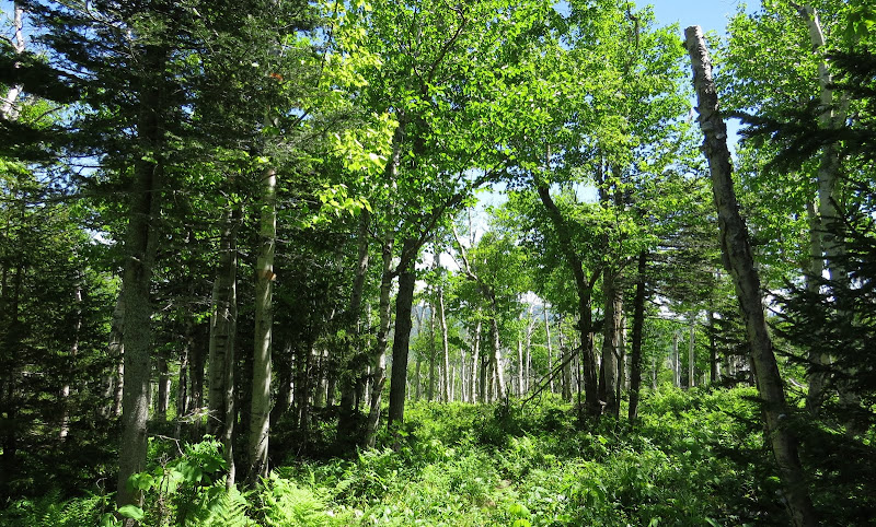
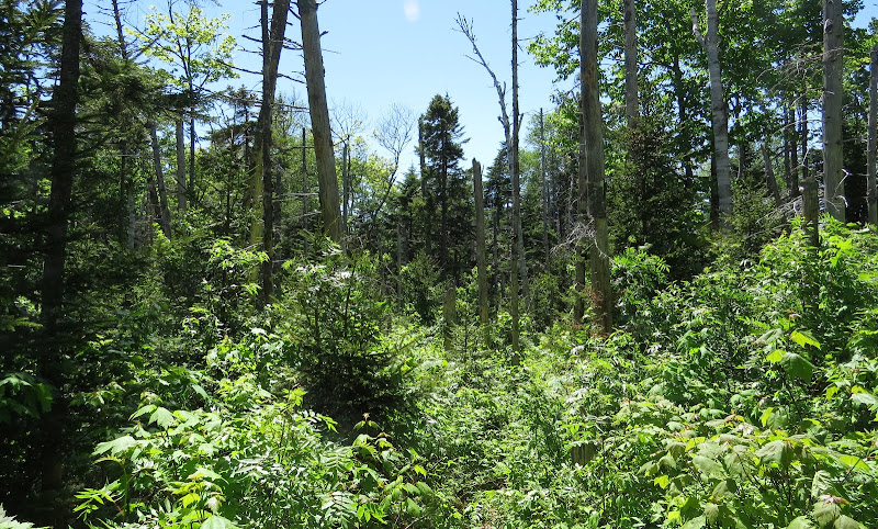
That said, here are a few places I have had to resort to some Land Navigation and/or turn back the way I came. I tried to pick one from each part of the WMNF.

1. Rob Brook trail [shoukd have brought waders]

2. East Branch trail

3. Red Rock trail

4. Donkey Hill cut-off [Mt Kineo - Three Ponds]
 
The Owl's Head Black Pond cutoff has a nice herd trail for a ways and then turns into a total bushwhack.

If you go up Glastenbury Mountain from the Harbour Road following the western fork of the Bolles Brook trail it abruptly comes to a deadstop and you have to bushwhack the last 150 yards or so to connect with the West Ridge trail. It doesn't even peter out, it just comes to a dead stop and then you have to bushwhack to make the connection.

When I did South Pond Mountain (crazy remote) in the ADKs the other day, I found an awesome herd trail which went up the Robbs Brook almost to a tributary of South Pond Mountain before it petered out. This made the long, remote hike a lot easier.
 
Not that I followed it beyond the summit of Shelburne-Moriah, but the Kenduskeag Trail headed east from there disappears into a sea of spruce.

Earlier this year I had some trouble following the Elwell Trail in a few overgrown spots where it meets up with old logging roads.
 
The Shelburne Tr. from the Wild River side was very hard to follow in areas around 2009. Parts of the Rainbow are pretty hard to follow as well. Here's a couple examples of the Rainbow Tr. June of last year.

IMG_3281.JPG


IMG_3294.JPG
 
Last edited:
Rainbow Trail was beautiful when I descended a couple of years ago, but it also felt like Moose Toilet Trail. Which is one way to stay on it, just follow the droppings.
 
Mt. Langdon Trail... is an overgrown walk through a field of nettles.... and Cave Mountain is daunting terrible!
 
The closing and removal of the bridge at the Moriah Brook Tr. will probably have this affect on all the trails on the west-side of the Wild River if it's not rebuilt.
 
The Shelburne Tr. from the Wild River side was very hard to follow in areas around 2009. Parts of the Rainbow are pretty hard to follow as well. Here's a couple examples of the Rainbow Tr. June of last year.

I was on the Shelburne Trail last month, it is now clear sailing. I had never been on it before but it definitely had some TLC done to it over the past few years! :)

I agree with you about the Rainbow Trail. Got to hike it during the fall which made it a little easier to follow with the underbrush dying off but still very narrow, yet very beautifull!!

Agreed - the Shelburne trail up to just before the Kenduskeag trail was in fantastic shape. We hiked in a couple of miles in the dark and had no issues. Rainbow trail I took a couple of years ago in early fall and the birch glade had some vegetation encroaching. I thought the rest of the trail was in fantastic shape though, and much softer tread than the other trails up to Carter Dome. The sub-peak is also really cool.

The Moriah Brook trail was a in really rough shape up top and forced people off trail to avoid giant blow downs and mud pits. The middle and lower sections were fine though.

There have only been a few trails that I felt were hard to actually stay in the corridor (as opposed to just being a pain to follow). The boggy section of Bog Brook trail (same hike as the Rainbow trail) was hard to find the trail in the swamped out section. The flagging was very helpful. Finding the start of the Shoal Pond trail was a bit tricky, but only took a 2 tries (the answer was 'left', we tried right first).

Most of the issues I've had (all minor) were in winter (missed the hard left turn going down the Skook) or the dark (finding the trail on the other side of larger crossings can be tricky sometimes). In general following trails out here is pretty easy as you can see signs of trail work and other humans passing. I usually study the guide, trip reports, and maps before hike too, so I have an idea of how rough a trail might be and can set the expectations accordingly. If someone is expecting a 4 foot corridor with blazes every 100', then lots of trails might seem 'hard' to follow, especially in the wilderness.

The Black Pond 'whack is interesting because the start and end of really well defined paths that turn into a huge network of less defined herd paths in the middle, as some people prefer to stay high and dry, and others wander down through the wetter section. Or do what I did once and screw up and hit the Fisherman's whack. Oops!
 
Rainbow Trail was pretty easy to follow in August, just chest-high raspberries everywhere, but staying in the groove was straightforward. Some sections of the Wild River Trail are bordering on "you must be kidding, right?"
 
. Nothing beats breaking above treeline on to the small knoll at the southern side of Carter Dome with views for miles and Carter Dome straight ahead.

You're also likely to be the only one on that trail for weeks.

I believe I know this knoll. We camped on a flat, ledgy area with low scrub around in October several years ago. My lab got up before us and wandered around, while my brother and I slept. I peeked out of the tent and found her just sitting there, on a ledge, staring off, quiet and still as can be. She looked incredibly peaceful, and we laughed, wondering "what the heck is she thinking about?"

At the time, the trail was easy to follow, but this wasn't recent.
 
Wheeler Brook Trail had lots of brush a few years ago, from the Evans Notch side..otherwise towards RT. 2., it's a nice trail and Wheeler Brook has lots of nice little cascades and pools...Landing Camp Trail also pretty thick with vegetation..Weeks Brook Trail has a tricky, thick vegetation turn, and of course, Grafton Loop (west) near Rt. 26 can be confusing...
 
Very few people know about this trail, but the Black Top Trail up Osgood Hill (2,244') in Nelson, NH comes to mind. When I hiked it, it was blazed and signed, but the trail was in awful condition, especially up near the top. Almost a straight-up bushwhack. Shame though- the trail has the potential to be a very nice hike :(
 
This weekend I decided to redline the southern half of the Albany Mtn Trail. It fits squarely into the "becoming a bushwhack" category.
-vegematic
 
Top