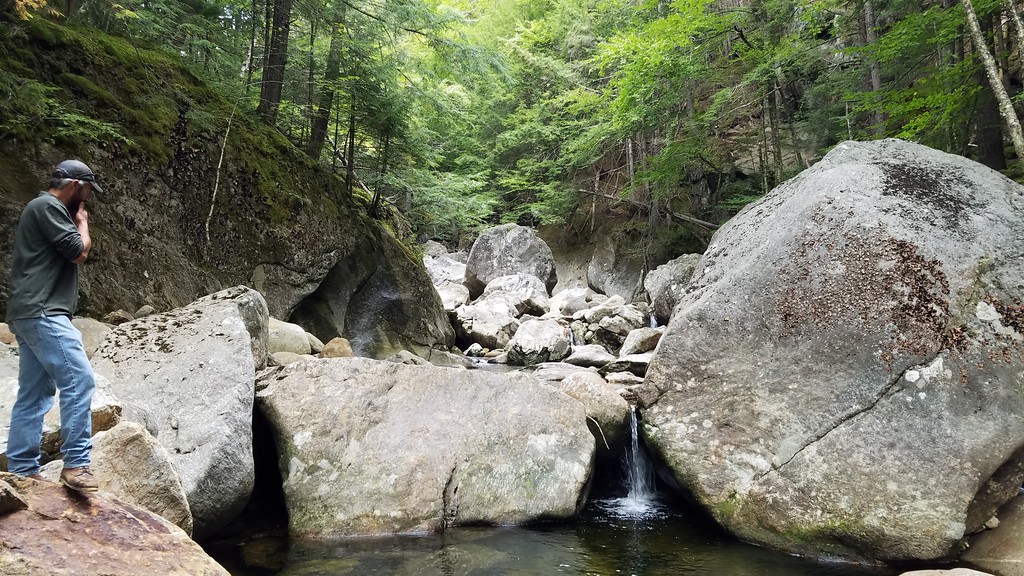
When section hiking the AT near the NC/GA border we took a road "shortcut" via an obscure forest service road down off the ridge. Turned out we drove through one of the oldest experimental forests in the system (its the only one that is called a Laboratory).
https://www.srs.fs.usda.gov/coweeta/about-us/. The road was was as steep and curvy as the Mt Washington autoroad with about a 2000 foot drop. There were flow weirs everywhere along the road.
In addition to Hubbard Brook, there is also the Bartlett Experimental Forest in Bartlett.
https://www.nrs.fs.fed.us/ef/locations/nh/bartlett/. After the ice storm of 1998, research from Bartlett where trees had been intentionally pruned of a large area of the crown over the long term was used as guidance to land owners to determine the likelihood that trees with serious crown damage would survive and what defects would be prevalent in the surviving trees.

")