Kevin Judy and Emma
Well-known member
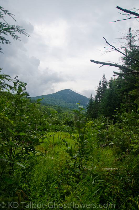
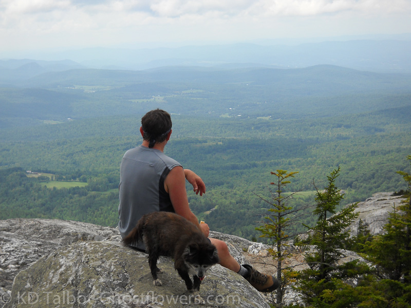
View of Moosilauke from Black Mountain
After what seemed like forever, we were finally able to get out, just the three of us. We had made a list of shorter hikes with less elevation for Emma's recuperation. She had done well in Acadia, but that was over a month ago. Her strength and endurance was good, but needed to be built back up even more if we were to resume any of the hiking that we were accustomed to. Last weekend we had hiked on Mount Washington, but only for a couple of miles as we drove up the Auto Road to the Cow Pasture, then hiked to the summit along the Nelson Crag Trail, then back down to our car. She did well, but it was obvious the long lay-off, (and my own illness), had lessened our ability. It is time now to get back in shape, time to build ourselves back up.
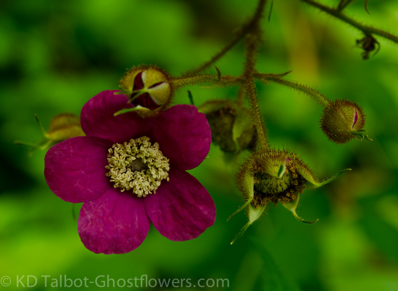
Purple Flowering Raspberry Rubus odoratus
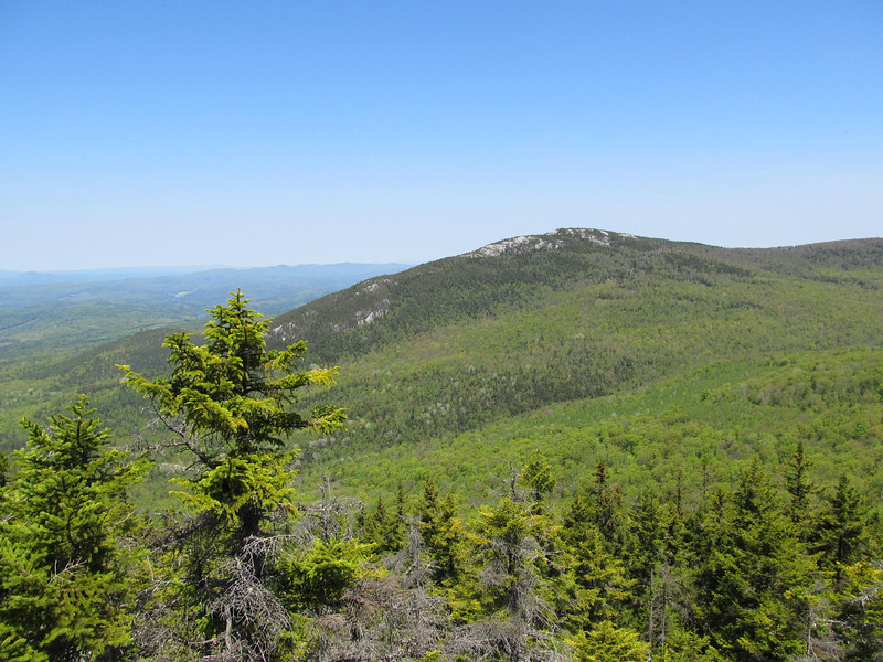
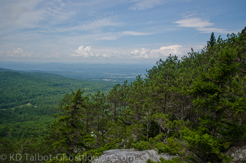
View of our Destination
One of the mountains on our short-list was beautiful Black Mountain, the one in the Benton Range, not the Sandwich Range or in Jackson. We had never been, so we got to do some red-lining on the most excellent Chippewa Trail. The trail is maintained by the Society for the Protection of New Hampshire Forests (SPNHF) which made it a favorite before I even hiked it. I must say it is a beautiful trail which rises steeply from hardwoods into a lovely Red Pine forest and offers great views to the south and west from many accessible ledges along the way. The day was not terribly hot, but the humidity was awful and I felt it from the beginning. I do terrible in the humidity, but I kept going because we were all excited to be back out on the trail. I can only imagine how it felt to Emma, in a black fur coat!
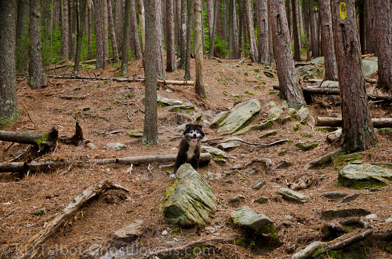
Emma Leads the Way on the Chippewa Trail
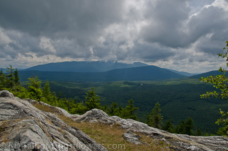
Squall Line to Our West
As we started out through the deciduous forest we passed lots of Purple Flowering Raspberry bushes, but with the lack of rain this summer it seemed as though the fruit was having a hard time ripening. As we went along we crossed a small, nearly dry stream where dozens of Ebony Jewelwing damselflies flit about. They are so beautiful, I wish I had spent the time to get a good picture, but as always, the best pictures are in my head! Up we went along the trail until we came to a spot where we had entered the Red Pine forest and there were ledges to our right. A short stroll over brought us out to our first views, but there was a noticeable lack of moving air. To the west we could see a squall line building, something to keep an eye on.
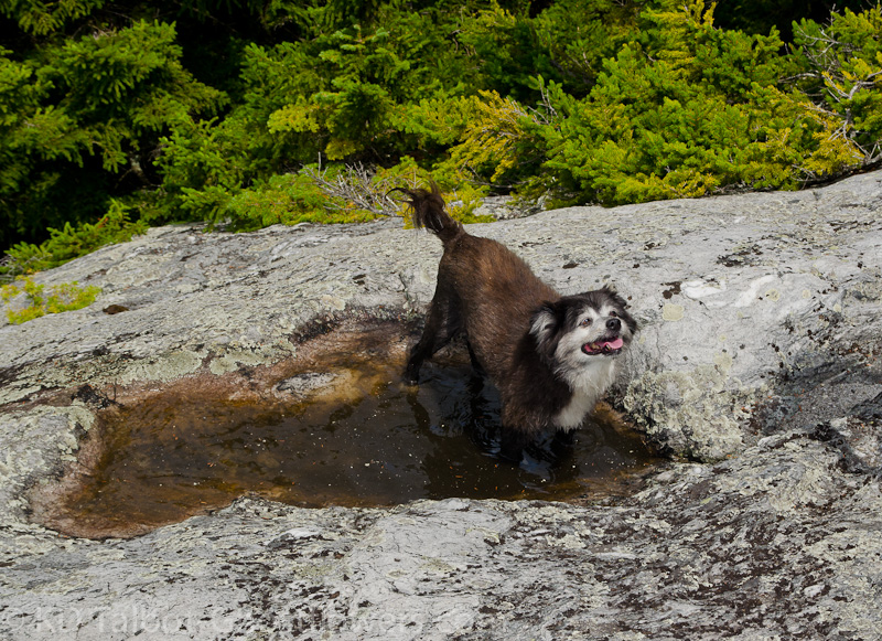
Emma's Hot Tub
Lunch Spot
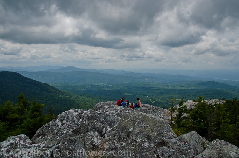
I must admit that with the humidity, the steepness of trail and my overall lack of conditioning recently that I found this part of the hike difficult. Judy and Emma did much better than I! Finally we arrived at the first of many ledges that the trail seemed to wrap around, then cross over the top of. We had a short rest and a quick bite, then off and up again, winding over many more ledges to the top. The higher we got the more air was moving so that when we did get to the top we had a pleasant lunch, and Emma found a good puddle to cool off in. We shared the summit with three young boys who had hiked up with an older, but still young relative. Eventually their father showed up with lunch for them. They thought Emma was the greatest, and despite the heat and humidity she was very tolerant of them. From our lunch-spot we could see the Kinsman Ridge, Liberty and Flume Mt. Wolf, and Moosilauke with his head in the clouds. Nearby we could also see Blueberry Mountain, Mt. Cube and Smarts Mountain.
Me and My Shadow by Jude
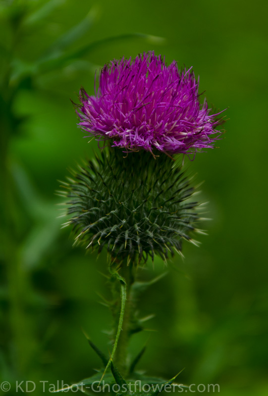
Bull Thistle Cirsium vulgare
After lunch we began the descent and did some very minor bushwhacking to a few of the ledges we had missed on the way up, but saw only the same views we had seen from the more accessible ledges we had already visited. From one of these ledges we could hear thunder, and I saw lightning which never seems that far off in the mountains, so we continued down. On the way down we realized the trail had probably been re-routed to skirt someone's property, and that on the property was an historical site that you are still allowed to visit if you treat it with respect. So, we visited the Lime Kilns that were there that have been very well preserved, because they were built and rebuilt by masterful stone masons. On a plaque their history can be read, quite interesting. All in all it was a great, albeit short hike, but we are another step towards being our old selves again!
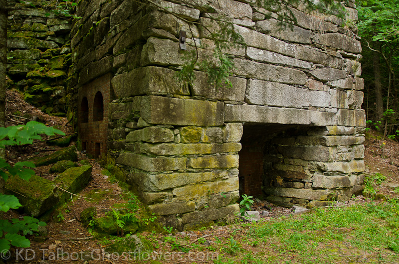
Lime Kilns
Full set of pics HERE:
KDT