Crockers & Redington questions (condition of the steel bridge)

vftt.org

Help Support vftt.org:

This site may earn a commission from merchant affiliate links, including eBay, Amazon, and others.

1SlowHiker

New member
Joined
Nov 29, 2012
Messages
300
Reaction score
0
Location
Rhode Island (Aquidneck Island)
I'm hoping to attempt the two Crockers and Redington on Friday (5/28), starting from where the AT crosses Caribou Rd..
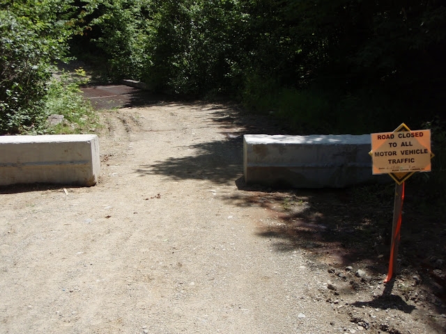
I have heard that the steel bridge 1/2 mile N of the AT crossing may be in rough shape. Does anyone know if it (and the road to the AT crossing) is passable with a light 4 wheel drive truck so that I can save 1 mile of road hiking.

I have several gps tracks of the loop hike that descends south of redington, so I think I will be okay as far as following the BW and logging roads back.

I would like to drive up Thursday night and sleep in the back of my truck until sunrise. I know in the NH Whites that the rangers will kick you out if caught sleeping at the TH parking. How is it with the Maine Trail Heads?

Any other suggestions on this hike would be greatly appreciated.


Thanks.
 
The Caribou Valley road is not public land and unless recently posted its perfectly legal to camp in your vehicle. It isnt legal to kindle a fire without the landonwers permission.
 
As of last summer, the road is barricaded (with a gap to walk through) at the steel bridge, with plenty of parking right before it (these barricades are mentioned in Tim's thread). The bridge itself was in OK shape, but the road climbing up out of it would pose a problem for many vehicles, at least at that time.

P7080927.JPG
 

Attachments

  • P7080927.JPG
    P7080927.JPG
    73.7 KB · Views: 95
FWIW, I did almost exactly what you are thinking in July of '09. Keep in mind this was pre Irene, pre road repairs, and pre concrete blocks. The metal bridge in question, other than being a little unlevel, was more than enough to support my pickup. The hill just after was a little rough and the further out I went the worse the bridges were. There were no signs for the AT at the crossing so I ended up driving a mile past it before turning around. After Sugarloaf, Spaulding, Abraham on day 1, I slept in the passenger seat and gave the side with the steering wheel to my dog. I parked just north of the AT in a small pull off, big enough for maybe 4 cars. Day two was the Crockers and Redington. There was a nice spot between the road and river for a tent , not sure if it's legal, but someone had already set up there so that is why I opted to sleep in my truck. Crocker campsite is only about a half mile north on the AT from the road crossing so that may be an option for you too.
 
I was there two weeks ago and the road was fine until the metal bridge at 3.9 miles. At that point one of the Jersey barriers was pushed back and made it possible to go over the metal bridge. I didn't chance it, but another vehicle was there before me and made it up to the 6 mile marker. It had to been a truck because there were a number of boulders in the road at about the AT crossing.

We went up the AT to South Crocker and ran into snow at about 3200' and then at about 3500' it was all drifted snow to the top of the MT. We did quite a bit of post holing at that section. We then made our way down South Crocker through more snow to Redington. We had very difficult time trying to follow the "trail". When we finally made it to Redington the snow drifts from the road were 3/4' deep and it took us about 20 min. to go 200 yards. At that point we decided go back and take the road to our car. As you come out follow the carines as there are many false roads that you can take. We ended up doing North Crocker from Rte 27 on the AT the next day. Again we hit all snow the last mile or so.
Hopefully all the snow will be gone for your trip.
 
Thanks again all. Just to wind up this thread, I did this hike last thursday (5/20/13). Did the Crockers via AT, Heard path to Redington, then logging roads and a 1-2 mile bushwack back to the CVR (or is it CPR?). Even baggged myself a moose antler shed along the BW.
 
There was a wooden stake in the middle of the road today (6-4-13) so we did not drive past the steel bridge...it's only a 10-15 walk to the AT...also the plank is in place at the crossing, all hikers today made it over with no issues...
 
1Slowhiker, just wondering if you ran into any snow on your hike? Also your bushwack, was that from the end of one of the dead end logging roads?
 
Top