North Percy Underhill / West Side Abandoned Trail Beta

vftt.org

Help Support vftt.org:

This site may earn a commission from merchant affiliate links, including eBay, Amazon, and others.

NHClimber

Active member
Joined
Aug 27, 2013
Messages
699
Reaction score
73
Location
MWV NH
I'd like to do this scramble sometime this fall and was wondering if anyone can provide some info on finding the start of the trail and following it. I apologize for not first looking in the AMC guide as I don't have it with me. I did search the forums here and the web but did not find specific beta. Thank you!
 
The turn off the new trail used to be quite obvious, the old trail continued straight up the hill in an eroded ditch while the new trail went right. There were traces of blazes a few years back all the way to the summit.
 
The turn off the new trail used to be quite obvious, the old trail continued straight up the hill in an eroded ditch while the new trail went right. There were traces of blazes a few years back all the way to the summit.

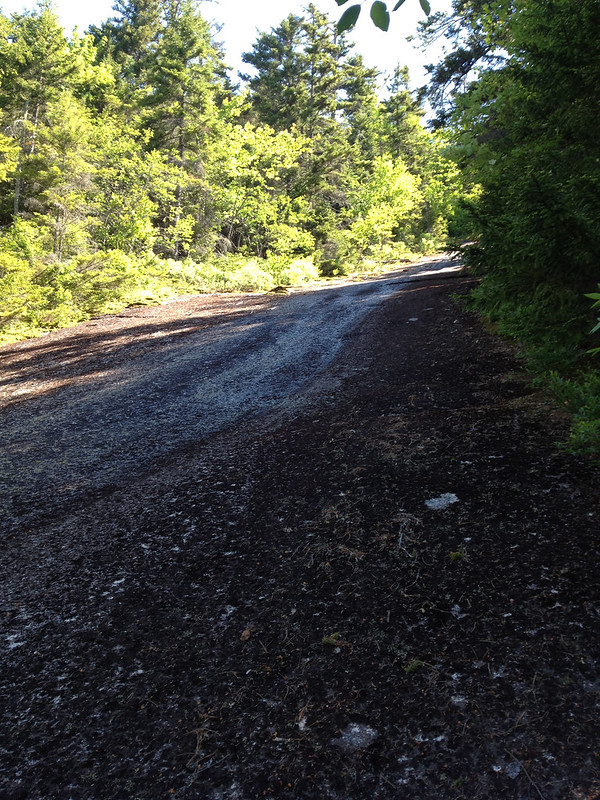
I hiked it on Bloomsday last summer and the junction seemed relatively obvious. It's above the first "Slab Of Death*," pictured here:
7394655398_31a6196f3f_c.jpg


and the Notch Trail makes noticeable turn to the right, and as peakbagger says, the old West Side Trail continue straight. The 26th edition of the WMG briefly describes the junction. Some care was required to follow the West Side trail initially, but after five or ten minutes, the path became abundantly clear. Blazes, and IIRC, cairns still exist.

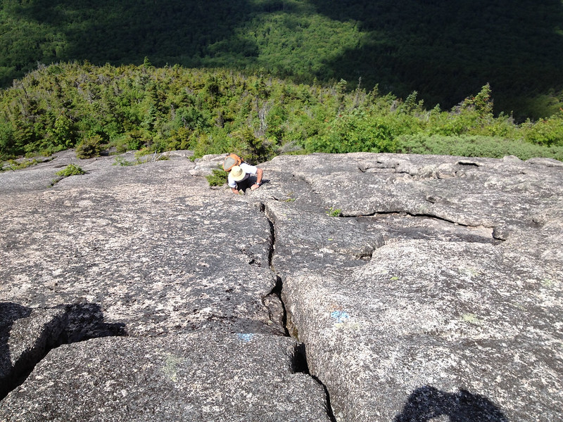
Have fun! It is, without a doubt, the best trail that I've hiked in the Northeast--though I have yet to do the Knife Edge. And, it is steep. Being able to do a layback is critical in a couple of spots, including the final pitch here:
7394687636_1901692e91_c.jpg


Finally, be sure to: A) hike on a nice day; you want the rock to be dry and the views are as good as any; B) be sure to summit South Percy, too, as the views of North Percy are phenomenal.

*So named because, according to the WMG, the mountain's lone fatality occured here.
 
Love the pics. I have to get back to this mountain-a friend and I were going to summit it during our backpack from Dixville Notch to Jefferson earlier this summer, but of course the minute we got up to the summit trail junction (we'd been on the Cohos Trail, coming up the back) the Tstorms that had been threatening started. Oddly enough, the summit was not cloudy. I gave up just as we started climbing slabs and admired the awesome view from even the bottom slabs, and my friend came down a few minutes later, noting glumly that the climb wasn't worth dying over. Even the slabs on the new trail are straight up!
 
Thanks for all the info folks. I was up in the area today with the family and we did the bog dam loop. Mellow but nice. Will get back there to do the west side route on percy.
 
Top