Kevin Judy and Emma
Well-known member
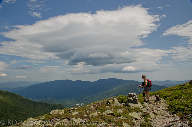
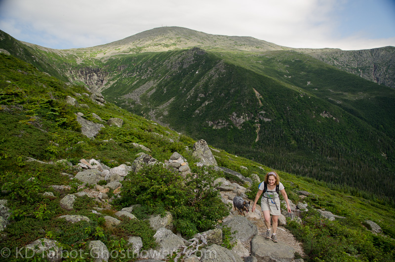
Emma on Boott Spur
We spent the best part of a week in the mountains, camping at Moose Brook State Park in Gorham. We took our usual site at the Shelter, away from the main part of the campground. This trip was in conjunction with our annual pilgrimage to Mount Washington to join the Mount Washington Observatory in their annual fundraiser, the Seek the Peak Hike-a-thon. I'd like to thank everyone who donates to the cause by sponsoring our hike. This was Emma's tenth Seek the Peak!
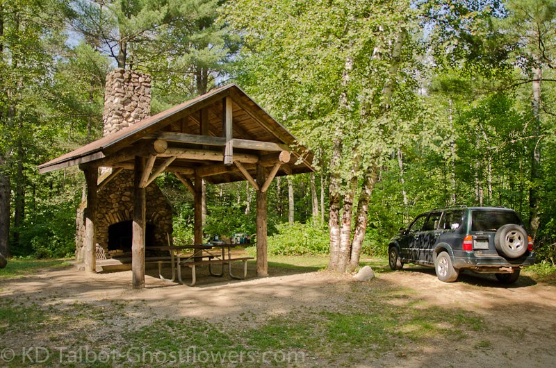
The Shelter at Moosebrook State Park
When we arrived on Tuesday temperatures were perfect and skies were blue, but that was about to change. We busied ourselves with setting up camp and then visited the swimming pond to cool off before driving over to the Peabody River swimming hole to further enjoy the fine weather. That night we had a great supper cooked on the camp stove and we were reminded that food cooked and eaten outdoors always tastes better! Cool temps made sleeping easy and we even needed to pull out a sleeping bag in the middle of the night it was so cool.
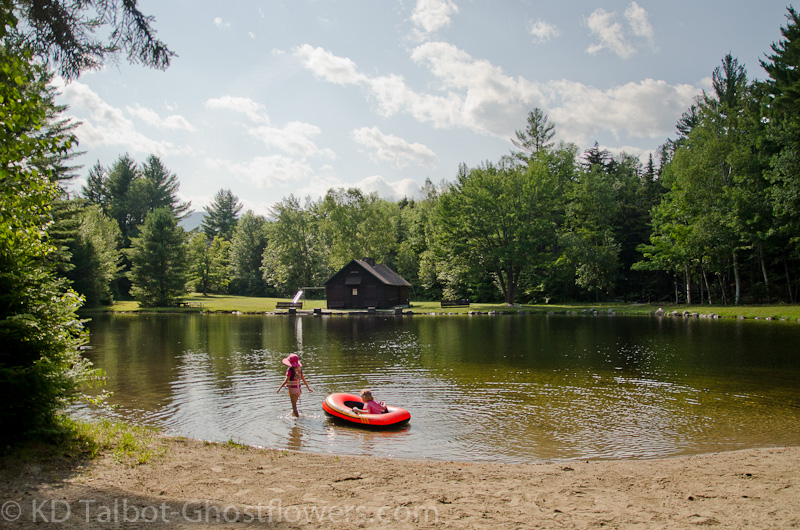
Hot Summer Days at Moosebrook
Next morning everything changed, except our plans to hike. After cooking a big breakfast we were off to the Mahoosucs. The plan started out as an eleven mile loop, up Peabody Brook Trail to Dream Lake, then along the Mahoosuc Trail to Gentian Pond, down to Dryad Falls and back along the Peabody Brook again. After starting out we realized the heat and humidity were not our only foes as we watched the personal clouds of midges gathering around our heads. The head-nets went on which made the humidity even more disgusting. We soon realized that maybe we would be changing our planned hike.
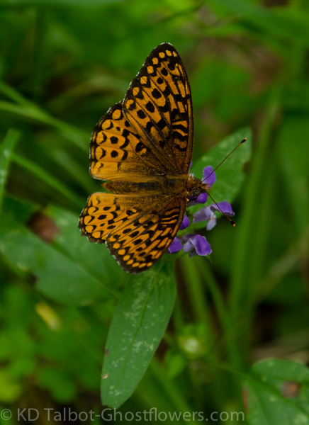
Great Spangled Fritillary Speyeria cybel on Heal-all Prunella vulgaris
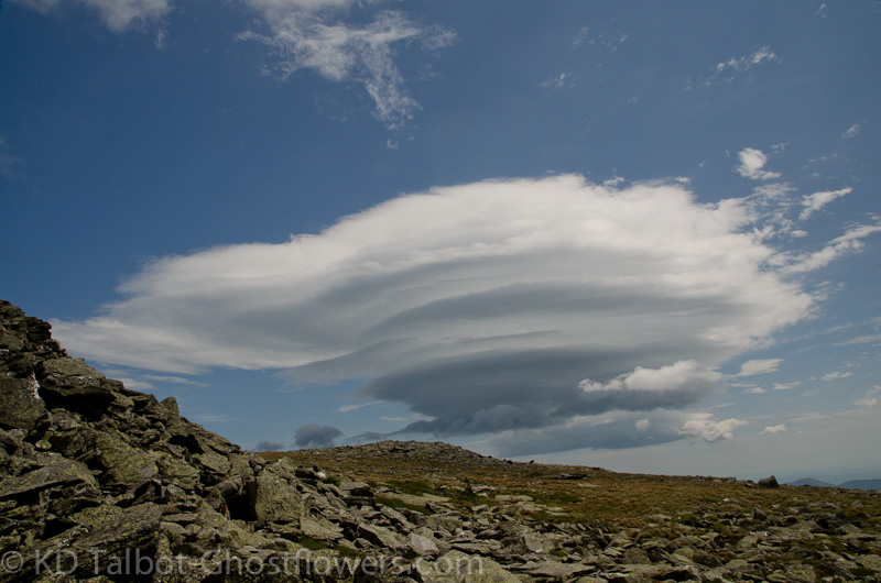
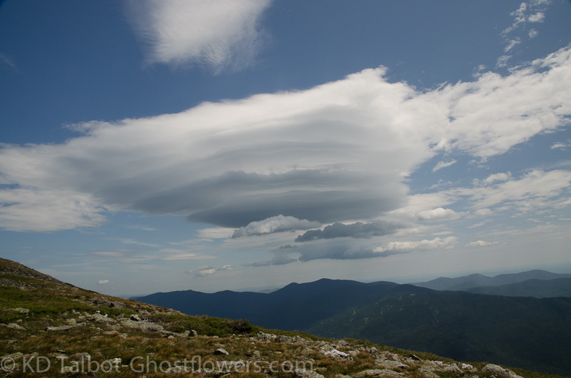
Along the trail were dozens of butterflies, Great Spangled Fritillarys, which were flitting about, stopping at the Heal-all flowers which grew at our feet, then flitting off to the next. It was a nice surprise to be joined by these beauties, but it did not relieve the heat or improve the air quality. We made a stop at Giant Falls where it was apparent that the area was in dire need of a good, soaking rain as the falls barely trickled. Returning to the main trail we soon came to a spot where a rock-slide crossed the trail and there were views southwest. The views however, were poor due to the thick haze, and it was here I became aware of an underlying smoky smell that reeked at times of burnt plastic. Wildfires in Canada again!
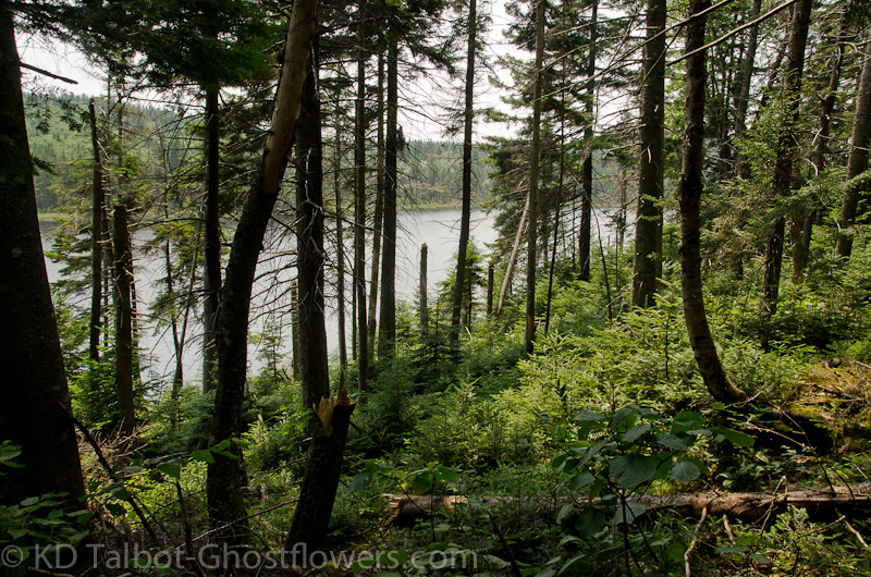
Dream Lake
Eventually the trail topped out and there was a long, relatively flat section through boggy terrain where many puncheons were carefully placed over the muddy spots. This took us along the south shore of Dream Lake and to the junction with the Dryad Falls Trail. By this time the combined heat, humidity, poor air quality and relentless bugs had made our minds up for us that the hike we had planned had best be saved for a nice cool fall day. We sat near Dream Lake and thought of the misery the Thru-hikers were experiencing out here in this weather. We decided to cut it off short, so instead of the intended route, we headed south on the Mahoosuc Trail to a point called Wocket Ledge, and had our lunch there. Visibility was only a few miles through the thick haze. We returned to the car by the same route and headed straight for the swimmin' pond at Moosebrook.
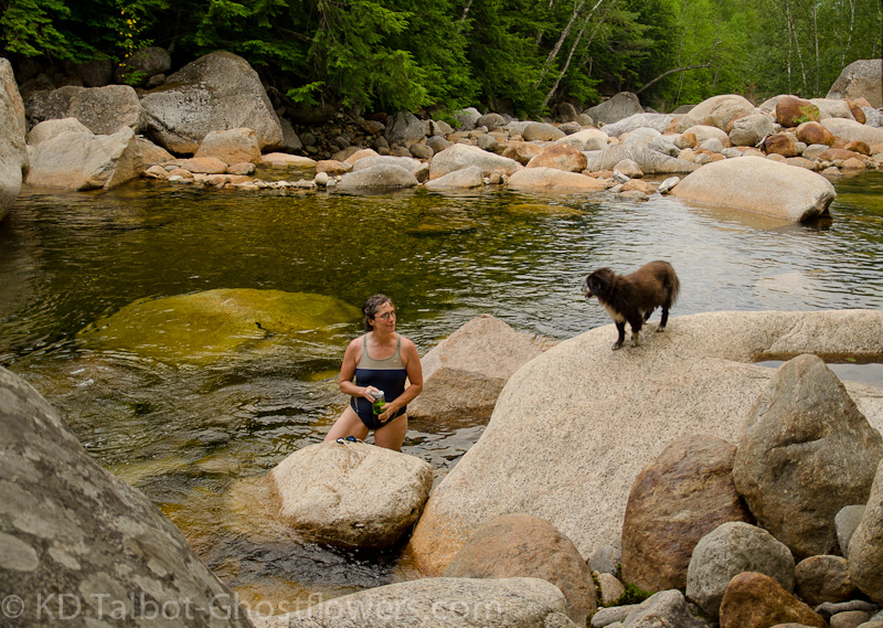
Swimmin' Hole on Dry River
The humidity Wednesday night gave way somewhat in the wee hours before dawn, so after tossing and turning most of the night, we were able to catch a few Z's before the sun broke over the hazy horizon and the day began a repeat of its predecessor. With the increasing heat and humidity we decided to keep activity at a minimum. We headed south towards Crawford Notch and down to the Dry River where there was another favorite swimmin' hole. We did hike about four miles of buggy trail to get to and from this spot, but enjoyed it immensely while we were there. There were quite a few butterflies of different species flitting about here as well and I went about trying to capture them with the camera. On the way back we stopped at Trail's End Ice Cream where I highly suggest you try a couple of scoops of your favorite flavor in an Almond Bowl!
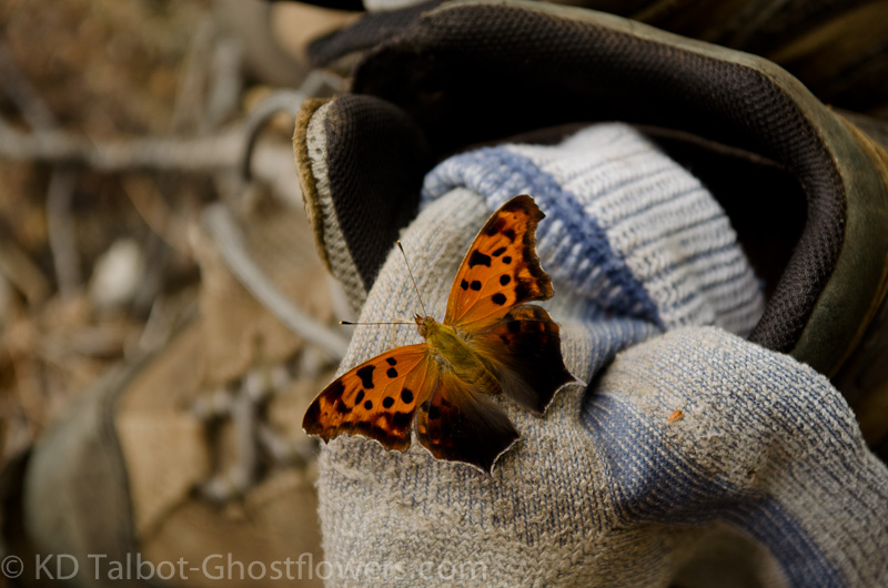
A butterflies gotta' get salt and enzymes somewhere! Eastern Comma Polygonia comma
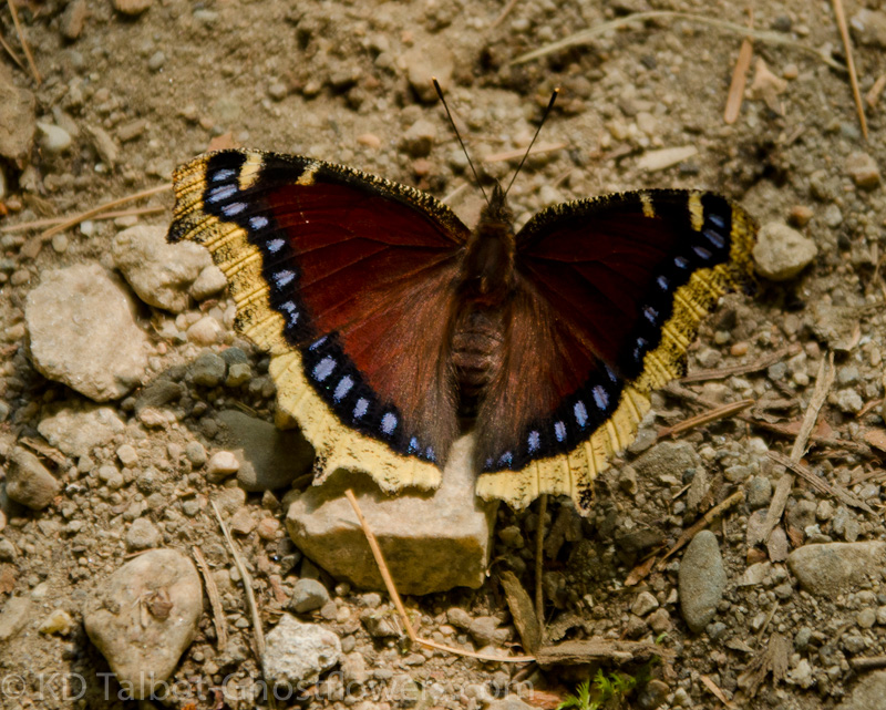
Mourning Cloak Nymphalis antiopa
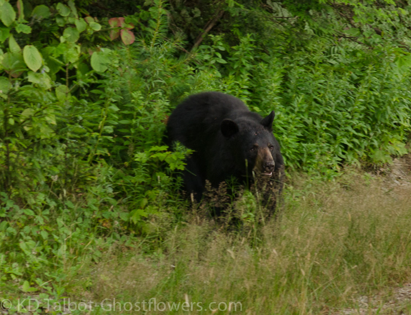
Thursday night was the worst. I finally got up around midnight, mad with the heat, and dashed down to the pond where I sat in the cool water for about a half an hour trying to cool down. Friday morning brought more of the same, so we laid low. I made the trip down to North Conway to the Weather Discovery Center to register us for the next day's hike and to pick up what has lovingly come to be known as the "Swag Bags" that are donated by sponsors to the Observatory and given out to the registered hikers. We now each have new EMS day bags emblazoned with the STP logo, along with a lot of other cool goodies including wool socks, sunscreen, and other cool stuff. Linda and Blue arrived while I was gone and when I got back we all headed for the river to cool off again. As luck would have it, as we left the river the car we crossed in front of was our friends the Truman's who we hadn't seen in months, so we stopped to talk for a bit.
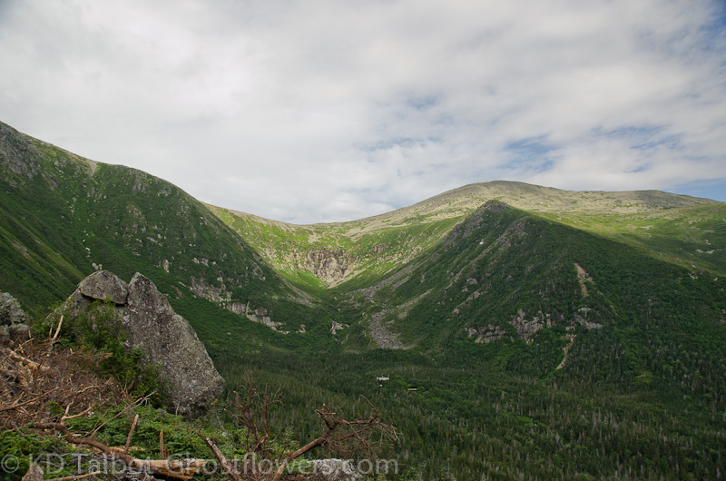
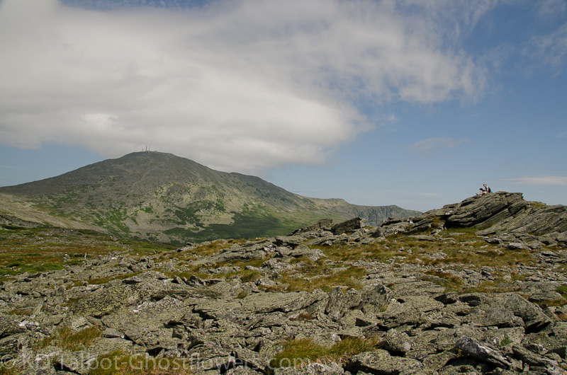
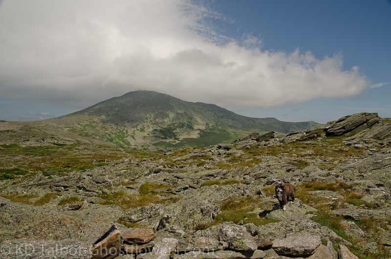
Tuckerman Ravine from Harvard Rock
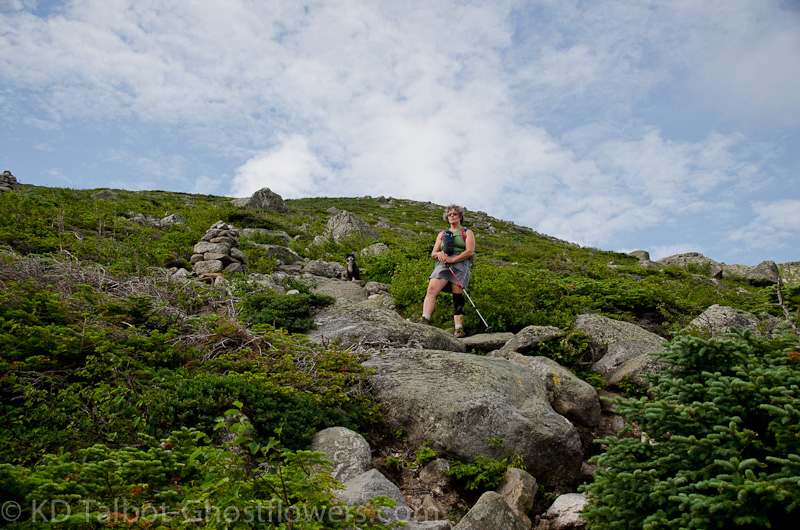
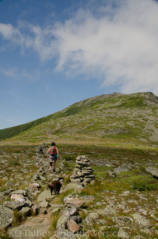
On the Boott Spur Trail
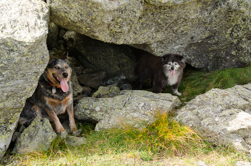
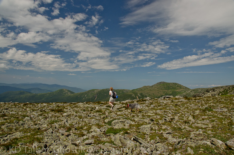
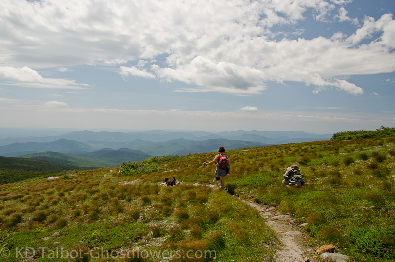
Friday night cooled down just enough to allow some sleep, but the 5am alarm seemed exceptionally early. We were up and after coffee and a quick brush we were on our way to Pinkham where we were early enough to get a decent parking spot and see a moose wallow in the pond across from the lodge. Off on the Tuckerman Ravine Trail we went under overcast skies and a light drizzle. We soon left the crowds behind as we turned onto the Boott Spur Trail and began one of our favorite hikes. The plan was to hike up Boott Spur and decide at that point what we would do from there . The drizzle stopped and the overcast worked in the dogs favor to keep them from the blazing sun.
Linda and Blue on the Boott Spur Trail
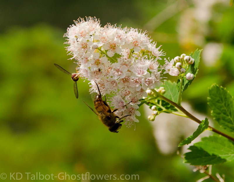
Meadow Sweet Spiraea alba var. latifolia
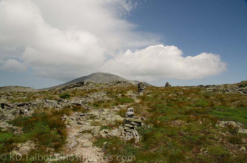
We were soon up to the lookout at Harvard Rock and took in the fantastic views into Tuckerman Ravine and across to Lion Head and beyond to Nelson Crag. The sky was beginning to clear now and glimpses of blue sky were appearing here and there. By the time we made it to the junction with Boott Spur Link the sun was making its presence known, and the heat of the day was rising. The clouds still offered some relief from the direct inferno overhead, but the dogs were starting to pant and began to seek shade when it offered itself behind and under the boulders along the trail. The last mile or so push from the junction became increasingly hot and we sought shade at the summit of Boott Spur as soon as we arrived.
Continued
Last edited: