bristlecone
New member
Over the next few weeks I'll be exploring the patchwork of green space that makes up the Western Greenway in Belmont and Waltham. The map shows an envisioned ring route which is at present partially completed.
What better little project than exploring the various trail networks in this area, most of which I haven't visited (or even knew existed), even though I drive past it most days and live close by.
I'll be adding little mini-TRs to this thread as I explore bit by bit. Maybe at the end of it all there will be one big, grand loop trip. Or maybe not, goals can be tiresome.
I've been many times to Rock Meadow and Beaver Brook North, as well as across Mill St. just as far as the meadow. Today I set out in oddly tropical weather, starting from Waverley Square (take the bus line of your choosing to get there) to check out the conservation land that encircles McLean Hospital and connects to Rock Meadow.
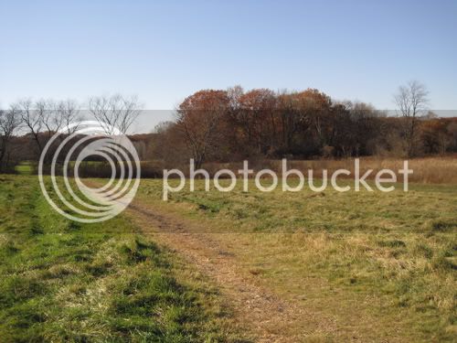
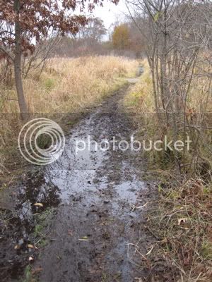
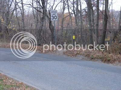
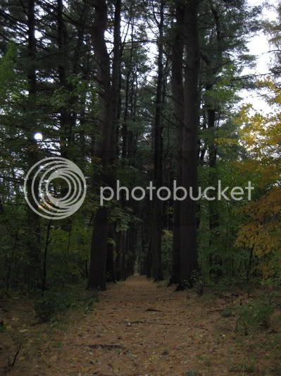
A gated dirt road leaves Pleasant St / Rt. 60 just northeast of the Trapelo Rd junction and immediately leads up into this lovely little gully. Aside from the sound, it's hard to believe that Waverley is a stone's throw away.
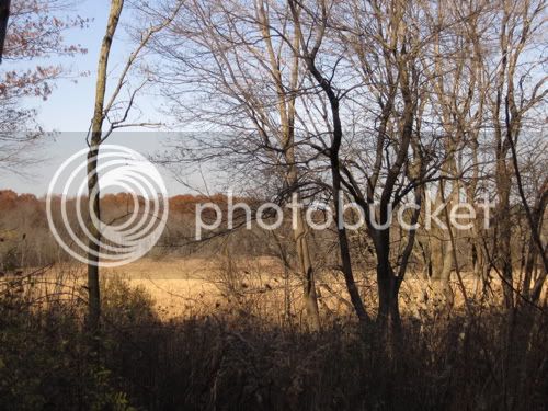
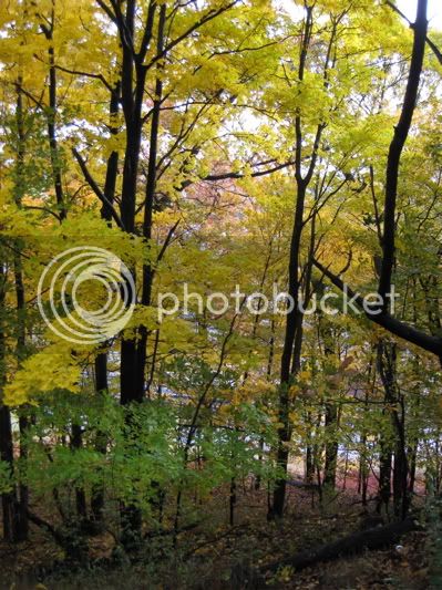
A side trail leads west to a ledge that might have an interesting view across Trapelo Rd when the leaves come down
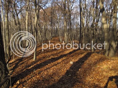
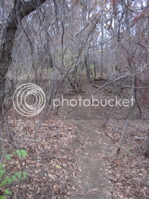
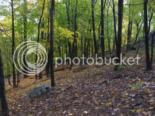
The woods road and a few footpaths wind their way along the top of the slope above Pleasant St and between McLean and Belmont Day School. Much of the time I didn't see or hear much evidence of civilization.
Close to the school I came across something
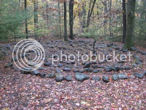
that I'll just go ahead and interpret as idle rock art by the hands of students, rather than a scary ceremonial site
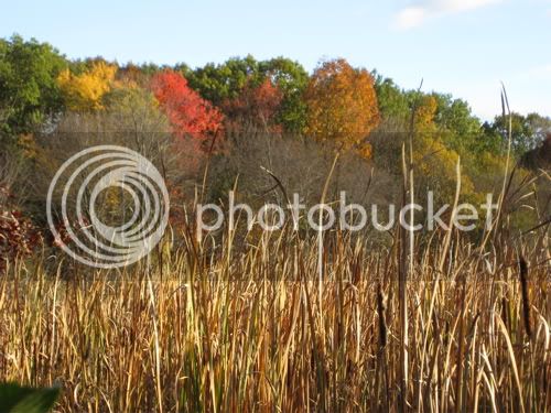
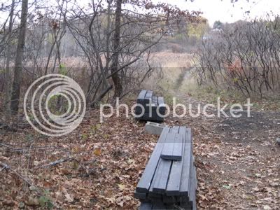
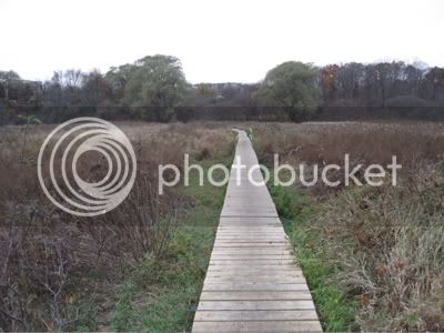
I connected back into familiar territory, a maintained meadow across the street (to the east) from Rock Meadow. There are some nice sitting stones here and there.
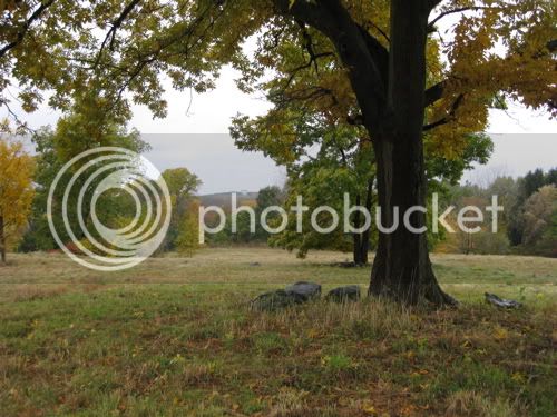
In the background, you can see the water tank on the hill on the met state property (abutting Beaver Brook North).
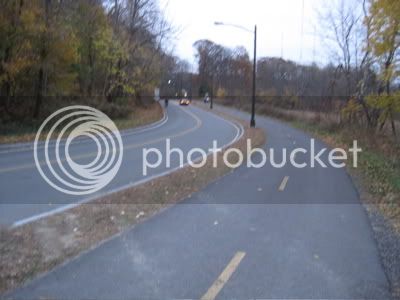
Take a right in that meadow, then a left down this little lane for a short bit
and a quick right, cross Concord Ave, and look for the Western Greenway-blazed path, just west of the Conord Hill Club - that connects into the Habitat (Audubon) trails.
A nice start, and much more to explore.
What better little project than exploring the various trail networks in this area, most of which I haven't visited (or even knew existed), even though I drive past it most days and live close by.
I'll be adding little mini-TRs to this thread as I explore bit by bit. Maybe at the end of it all there will be one big, grand loop trip. Or maybe not, goals can be tiresome.
I've been many times to Rock Meadow and Beaver Brook North, as well as across Mill St. just as far as the meadow. Today I set out in oddly tropical weather, starting from Waverley Square (take the bus line of your choosing to get there) to check out the conservation land that encircles McLean Hospital and connects to Rock Meadow.
A gated dirt road leaves Pleasant St / Rt. 60 just northeast of the Trapelo Rd junction and immediately leads up into this lovely little gully. Aside from the sound, it's hard to believe that Waverley is a stone's throw away.
A side trail leads west to a ledge that might have an interesting view across Trapelo Rd when the leaves come down
The woods road and a few footpaths wind their way along the top of the slope above Pleasant St and between McLean and Belmont Day School. Much of the time I didn't see or hear much evidence of civilization.
Close to the school I came across something
that I'll just go ahead and interpret as idle rock art by the hands of students, rather than a scary ceremonial site
I connected back into familiar territory, a maintained meadow across the street (to the east) from Rock Meadow. There are some nice sitting stones here and there.
In the background, you can see the water tank on the hill on the met state property (abutting Beaver Brook North).
Take a right in that meadow, then a left down this little lane for a short bit
and a quick right, cross Concord Ave, and look for the Western Greenway-blazed path, just west of the Conord Hill Club - that connects into the Habitat (Audubon) trails.
A nice start, and much more to explore.
Last edited: