
PETCH
New member
Peaks/Trails: Pierce and Eisenhower via Crawford Connector, Crawford Path, Webster Cliff trail, Eisenhower Loop trail.
Date of Hike:: March 5, 2011 (Saturday)
Trail Conditions: A couple inches of snow on the Crawford path to start. Crawford Path up to Webster Cliff junction was bare-bootable with light traction. We used snowshoes. Crawford Path to Eisenhower Loop was barely recognizable. We were the first group of the day, and trail was drifted over. We used snowshoes, but others after us postholed it pretty good. Trail easier to follow on the way back.
Special Equipment: Snowshoes, Full face gear
Cast of Characters: Kate, Diane, Dana, Jim, CrazyBob and Petch.
A few comments, then I'll let the pictures tell the tale:
- Clinton rd parking lot basically empty
- A dreary day with low clouds and no views- but a bad weather day hiking is better than a good day at work
- Snow to start, then changing to frozen precip as day went on.
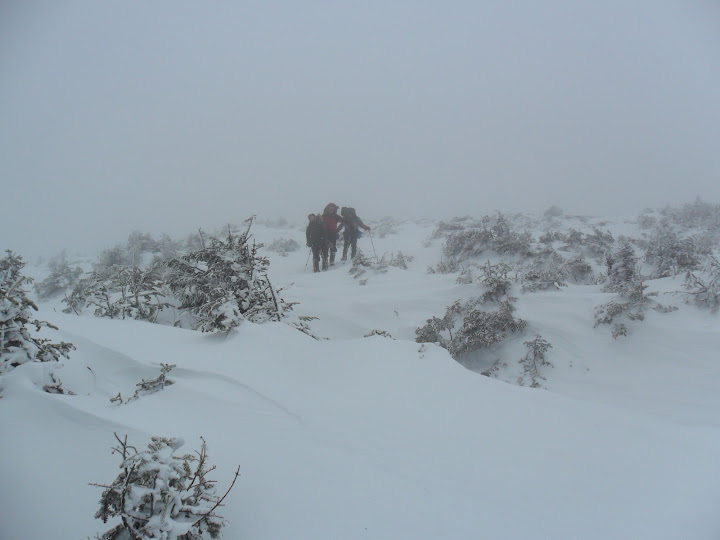
- Trail from Webster Cliff junction over to Ike was hard to follow
- Met a few hikers on the final leg of a 3 day Presi traverse
- 60+ mph winds on Ike
- Even with a facemask, you could feel the sleet pelting your skin
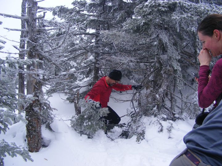
Spruce Trap Etiquette: First- Laugh, Second- Preserve the moment in pictures
Diane on the Crawford Path on the way to the Webster Cliff trail junction
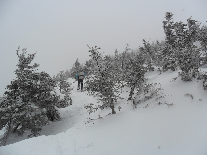
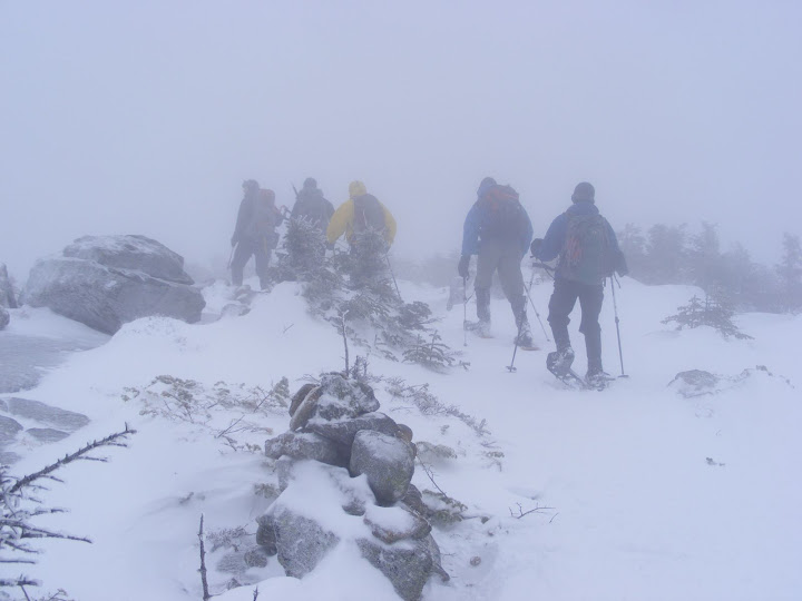
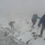
Running the gauntlet of spruce traps. There is a trail there somewhere....
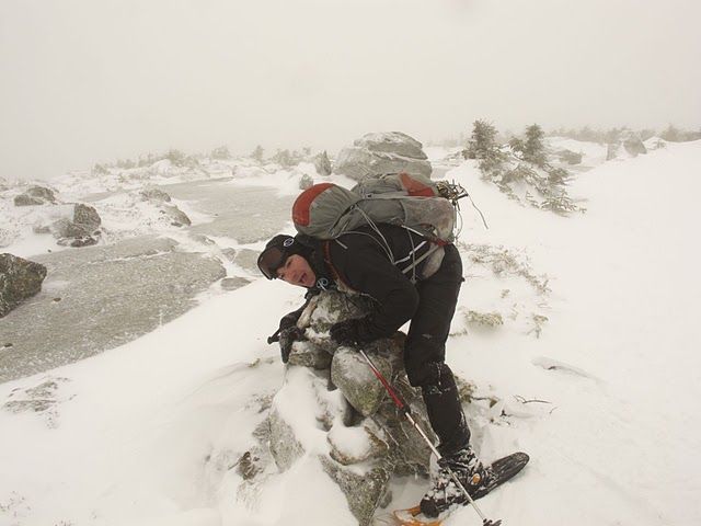
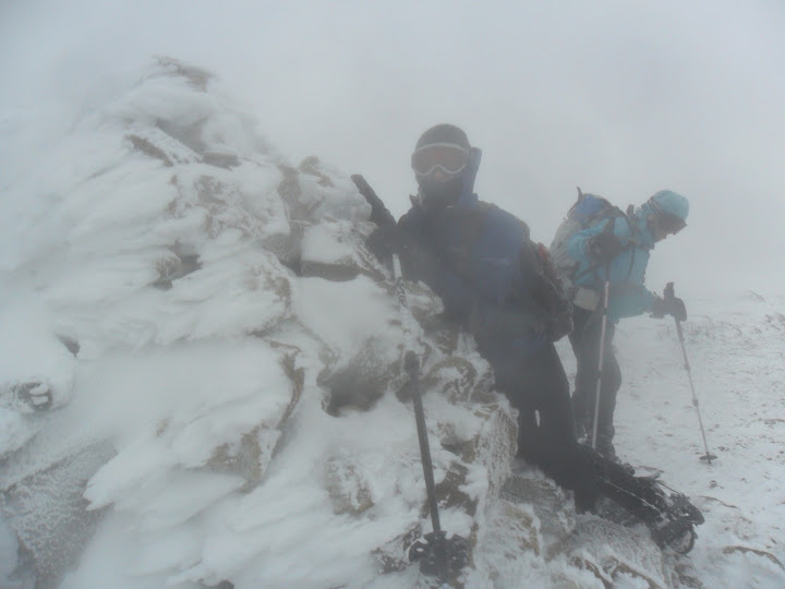
Have you hugged your cairn today??
If you lived here, you'd be home by now
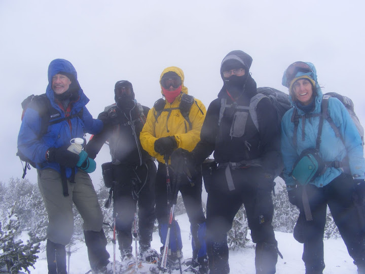
Dana, Petch, Jim, CrazyBob, and Diane on the summit of Ike
Kate and Diane on the summit of Ike
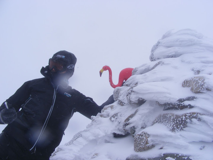
One small step for man.......
Great hike folks!
Petch
Trip stats: 9.8 miles, 3700ft of gain, 6hrs
GPS track: http://www.wikiloc.com/wikiloc/view.do?id=1521421
Slideshow from this trip^
Ascent List:http://peakbagger.com/climber/climblistc.aspx?cid=1767
All Hiking Pictures:http://picasaweb.google.com/mpetcher/
Date of Hike:: March 5, 2011 (Saturday)
Trail Conditions: A couple inches of snow on the Crawford path to start. Crawford Path up to Webster Cliff junction was bare-bootable with light traction. We used snowshoes. Crawford Path to Eisenhower Loop was barely recognizable. We were the first group of the day, and trail was drifted over. We used snowshoes, but others after us postholed it pretty good. Trail easier to follow on the way back.
Special Equipment: Snowshoes, Full face gear
Cast of Characters: Kate, Diane, Dana, Jim, CrazyBob and Petch.
A few comments, then I'll let the pictures tell the tale:
- Clinton rd parking lot basically empty
- A dreary day with low clouds and no views- but a bad weather day hiking is better than a good day at work
- Snow to start, then changing to frozen precip as day went on.
- Trail from Webster Cliff junction over to Ike was hard to follow
- Met a few hikers on the final leg of a 3 day Presi traverse
- 60+ mph winds on Ike
- Even with a facemask, you could feel the sleet pelting your skin
Spruce Trap Etiquette: First- Laugh, Second- Preserve the moment in pictures
Diane on the Crawford Path on the way to the Webster Cliff trail junction
Running the gauntlet of spruce traps. There is a trail there somewhere....
Have you hugged your cairn today??
If you lived here, you'd be home by now
Dana, Petch, Jim, CrazyBob, and Diane on the summit of Ike
Kate and Diane on the summit of Ike
One small step for man.......
Great hike folks!
Petch
Trip stats: 9.8 miles, 3700ft of gain, 6hrs
GPS track: http://www.wikiloc.com/wikiloc/view.do?id=1521421
Slideshow from this trip^
Ascent List:http://peakbagger.com/climber/climblistc.aspx?cid=1767
All Hiking Pictures:http://picasaweb.google.com/mpetcher/
Last edited:
