Where the Rivers Join (Saco River & Dry River): 12-Aug-2010

vftt.org

Help Support vftt.org:

This site may earn a commission from merchant affiliate links, including eBay, Amazon, and others.

1HappyHiker

Well-known member
Joined
Jan 18, 2007
Messages
1,973
Reaction score
405
Location
Bethlehem, NH
Although I'm certain that others have been to the general vicinity where the Saco River and Dry River join, this was the first time I'd made this short little trek to explore this spot. Perhaps it should be mentioned from the outset that the area I explored is on public land (WMNF) and is accessible from public land.

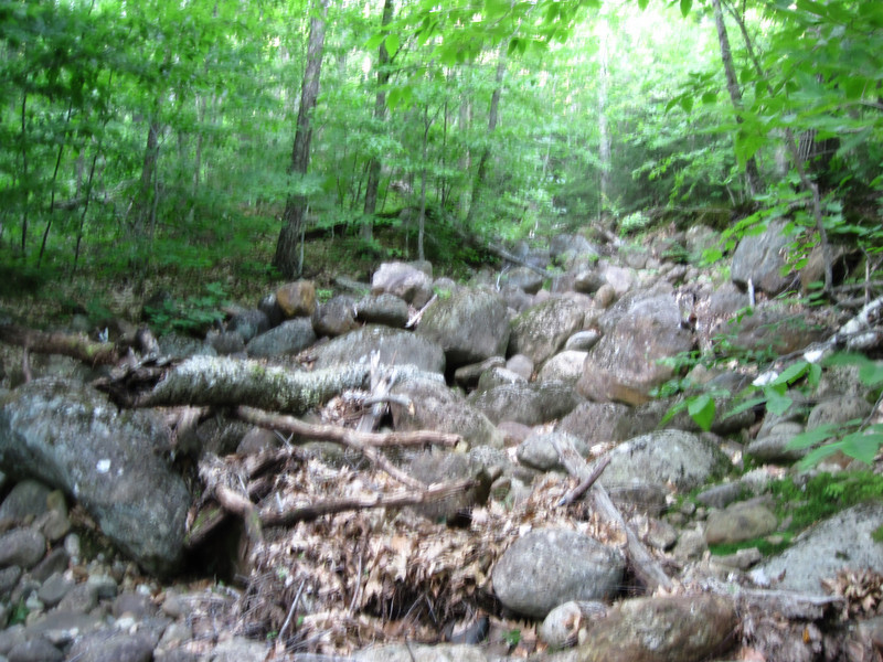
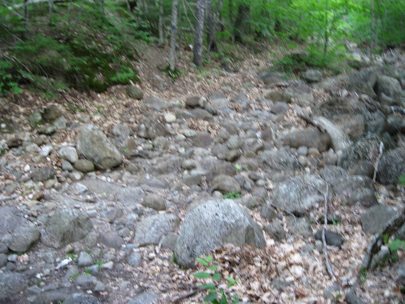
Since it has been relatively dry for the past week, getting to the locality where the two rivers meet was fairly easy. However, I suspect it might be a different ballgame during wet weather. The area is honeycombed with numerous feeder streams that don't even show up on most maps, plus there are some areas that are boggy, even when conditions are relatively dry.

Anyway, the whole point of this little Trip Report is merely to share the views that were experienced on this short little hike.

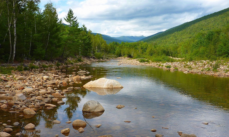
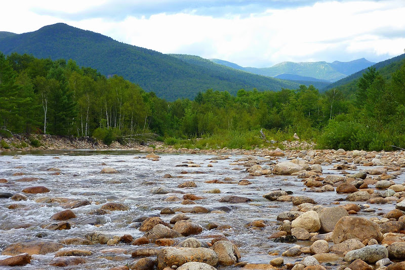
The star-attraction, as far as I'm concerned, is the view up the Dry River Basin where a portion of the southern Presidential Range can be seen far up the valley.

Below is a non-zoomed snapshot of this view.
P1060660.JPG

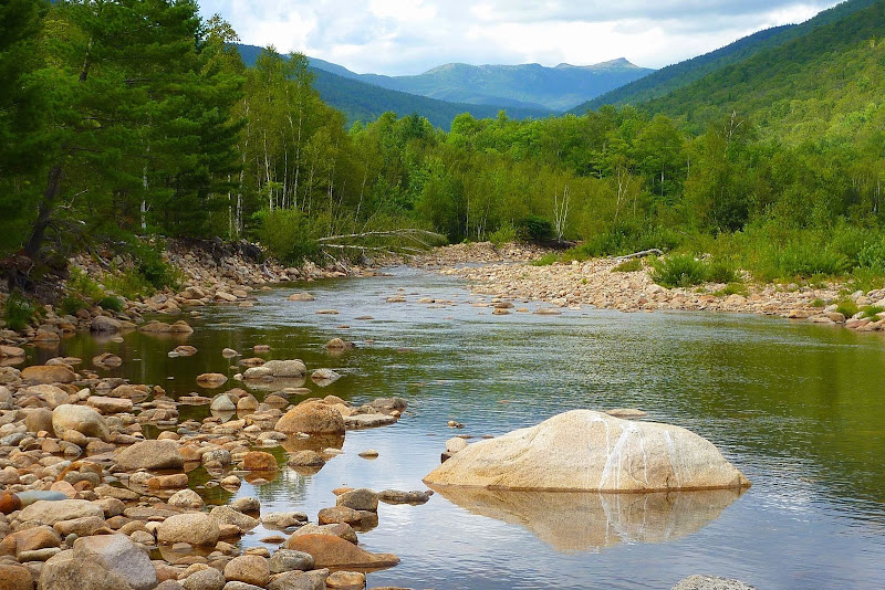
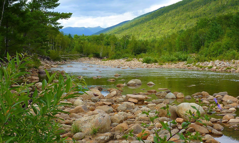
And, below is a zoomed snapshot of the same view shown above.
P1060657.JPG

In addition to the two views shown above, there are many other vantage points to get further perspectives on this same view. Below are two more snapshots looking toward the Presidential Range.

P1060651.JPG


P1060668.JPG

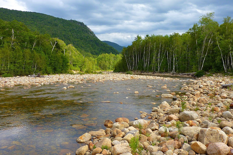
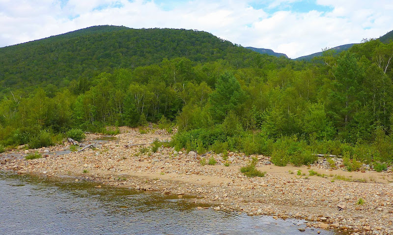
As shown in the snapshot below, I thought the view in the opposite direction (i.e. looking southward) was also pretty nice.
P1060665.JPG

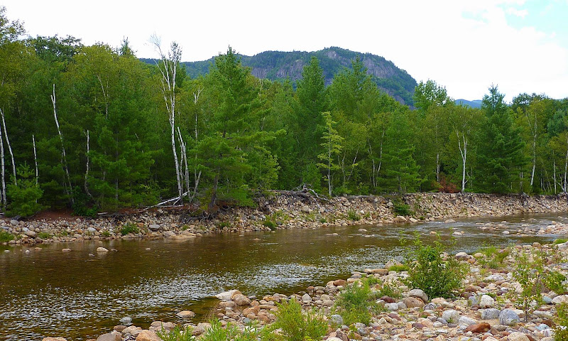
There is even a view toward Frankenstein Cliff.
P1060637.JPG

And, there's a view toward Stairs Mountain, with a small portion of Mt. Resolution also visible.
P1060673.JPG

The views from this area are not far-ranging such as you can get from a lofty ledge, or from an above tree-line hike. However, to me at least, the views are still nice, and just a bit different.

1HappyHiker
 
Last edited:
I'm one of those who has been here, while canoeing the upper Saco during spring high water. That day there was about as much water in Dry River as the Saco at the confluence presumably due to snowmelt in Oakes Gulf. Went by too fast to get much of a view, thanks for the photos.
 
Nice spot.

My topo maps show several confluences of the Dry and Saco rivers. Both are shown as having multiple channels near the junction.

I think I have also (white-water) canoed by the junctions. The take-out was a bit above Bartlett so it is likely that we passed this spot. I'm afraid that I don't remember any details of the junction--I could have been paying more attention to avoiding the next rock than the scenery (and it was 25-30 years ago).

Doug
 
Thanks for the report

This dry season would be good time to explore this area. I'm impressed with massive amounts of tumbled and rounded boulders that have collected from the these two glacial valleys. This area is classic example of braided stream beds some of which no longer flow, but when upper valleys were filled with varying stages of glaciers there was much greater percentage of of these stream beds were running all the time. When we hiked through Dry River Campground earlier this summer we came across numerous dry river beds which probably havn't flowed in 100 years. Pardon poor exposures, but we passed though here late in afternoon and light was bad. You can see leaf litter mixed in with the boulders. It hasn't been flushed in long time.

922885072_pgvpN-L.jpg


922884713_Gqg8e-L.jpg
 
Another set of wonderful photos of this great state. Thank you.
. . . and thank you John for the compliment!
Good job. These are the types of hikes I enjoy the most.
These types of hikes ARE really a lot of fun! Couldn't agree more!
I'm one of those who has been here, while canoeing the upper Saco during spring high water. That day there was about as much water in Dry River as the Saco at the confluence presumably due to snowmelt in Oakes Gulf. Went by too fast to get much of a view, thanks for the photos.
I think I have also (white-water) canoed by the junctions. The take-out was a bit above Bartlett so it is likely that we passed this spot. I'm afraid that I don't remember any details of the junction--I could have been paying more attention to avoiding the next rock than the scenery (and it was 25-30 years ago).
Roy & Doug: I'm truly in awe that both of you have canoed through this area at high-water. It's little wonder that neither of you were able to take much notice of the distant mountain scenery due to your speed, plus paying attention to avoiding the next rock! In addition, I would think you would've been facing the wrong direction to be gazing up toward the Presidentials. Regardless, I feel certain that you both had a great time doing what you were doing at the time!
My topo maps show several confluences of the Dry and Saco rivers. Both are shown as having multiple channels near the junction.
Yes, I know what you mean! It would have taken more time than I had on that particular day to try to work out exactly which river I was hiking along at any given time. As you correctly state, there seem to be several confluences of the Dry River and Saco River. And then, the circumstances are compounded further when you throw in a few unnamed feeder streams, plus Sleeper Brook and Bemis Brook also enter the mix in this same general locale.
. . . I'm impressed with massive amounts of tumbled and rounded boulders that have collected from these two glacial valleys. This area is classic example of braided stream beds some of which no longer flow, but when upper valleys were filled with varying stages of glaciers there was much greater percentage of these stream beds were running all the time. When we hiked through Dry River Campground earlier this summer we came across numerous dry river beds which probably haven't flowed in 100 years . . .
Thanks Ray for the posting this interesting information!
What no fish pictures?
Okay . . . here is a photo for you Tim!
phish_logo.jpg
 
Last edited:
. . . It appeared calm that day, thanks to the low water . . .
Yup . . . the H20 was low! And, these conditions were certainly conducive for moving across the water from one place to another. However, I'm certain that the "ambiance" would be quite different at times of high water, and it might be difficult to access the spots from which I took the photos shown in this report.

Thanks for your reply Phil!
 
Top