5-15-10 Mazel tov! On Mt Israel...and visc

vftt.org

Help Support vftt.org:

This site may earn a commission from merchant affiliate links, including eBay, Amazon, and others.

grouseking

Well-known member
Joined
Feb 20, 2005
Messages
2,023
Reaction score
272
Location
Lebanon, NH Avatar: Philosopher?
Nah, I'm not Jewish...but I'd say it was a good phrase for the day. It was the best hike I've taken since last July. I forgot how much I love that region of the whites...there are sweeping mountain views, abundant wildlife, (saw a moose) seldom used trails, water views...things that I look for in my hiking. We saw a total of 6 people yesterday, and 2 of those were at the end of the day when we got back to the car.

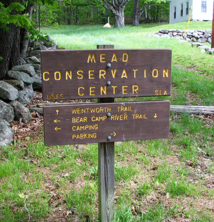
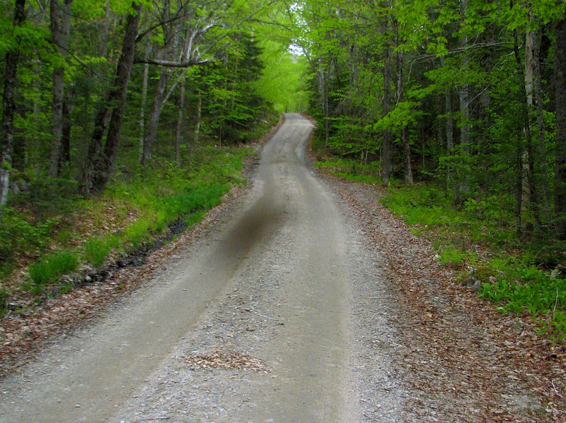
My buddy and I started up Mt Israel around 10:45am via the Wentworth trail.

868486917_ys84W-XL.jpg


The bugs were already getting their act together, but were not biting just yet. That happened later in the afternoon. Side note with the bugs; They are bad this year. Bring bug dope on hikes from now on! Its only mid May for god sakes.

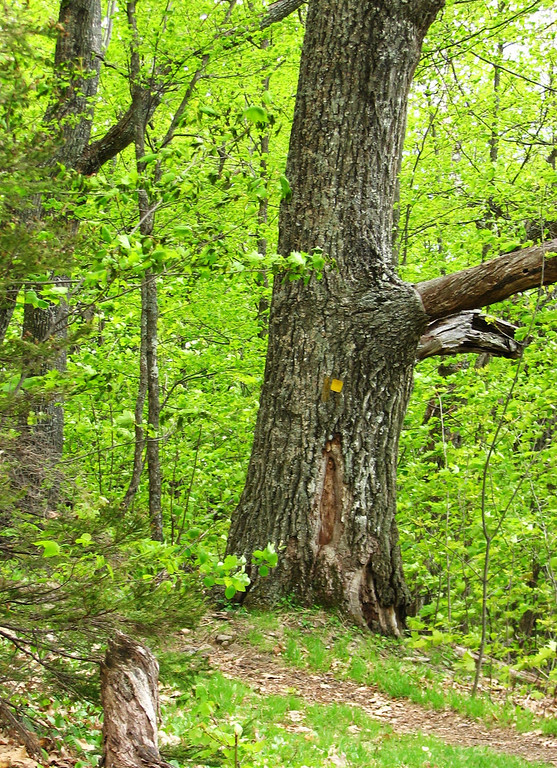
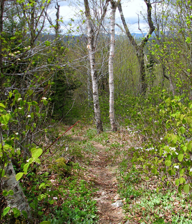
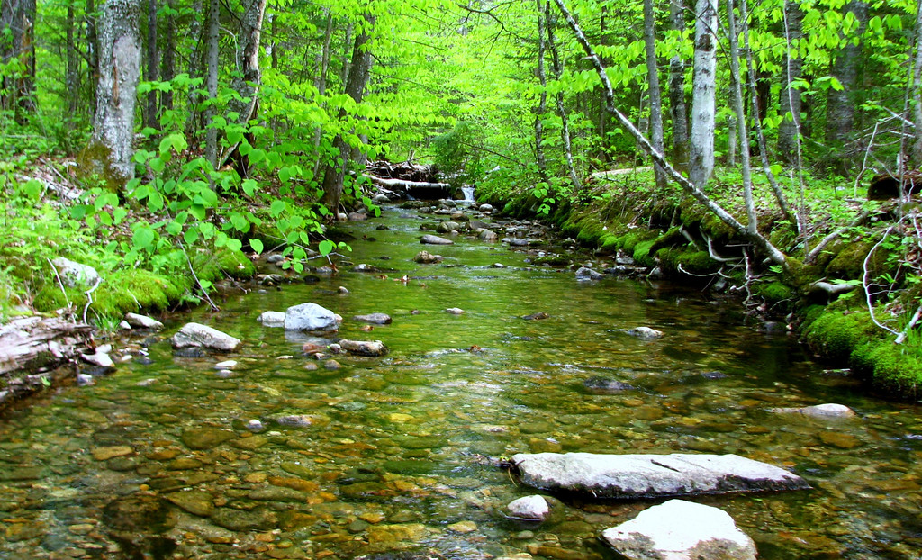
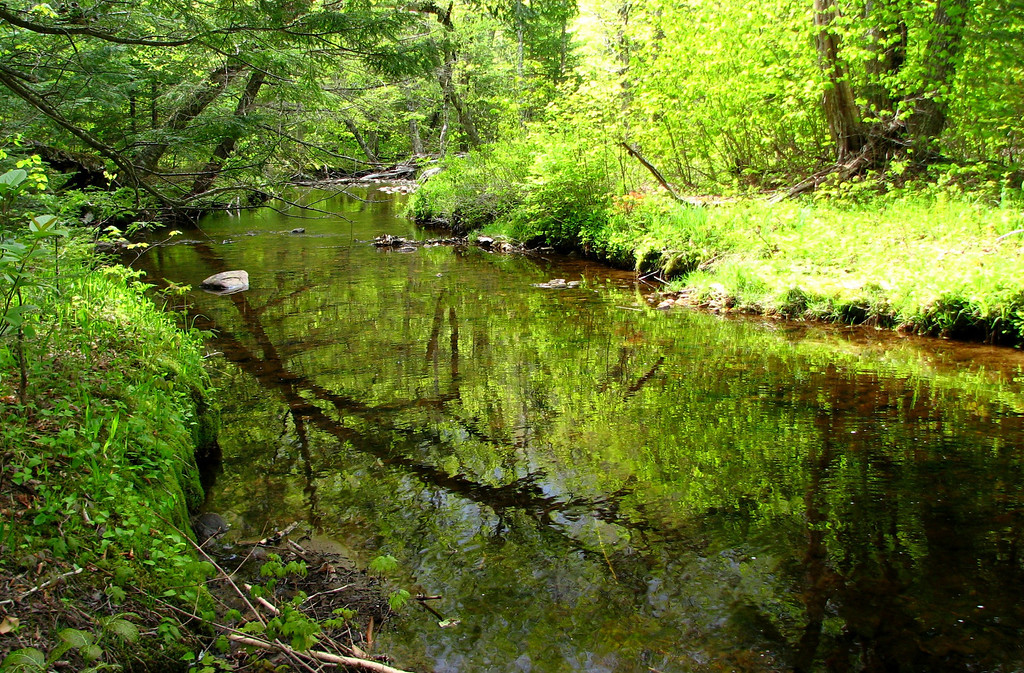
The Wentworth trail is a nice trek up to the summit of Israel. Its a pretty straightfoward way to climb a mountain, and it has the normal stuff one might find on a white mtn trail; a nice hardword "bear" forest down low, occasional rocks in the trail, some views higher up, to give you a clue of what is ahead, and the forest change to spruce/fir near the summit. As for conditions, they were flawless. There were no blowdowns, no mud, no nuttin.' Flowers were done blooming on this side too, except for a few violets.

Down low
868487353_Ra7Na-XL.jpg


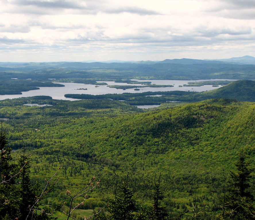
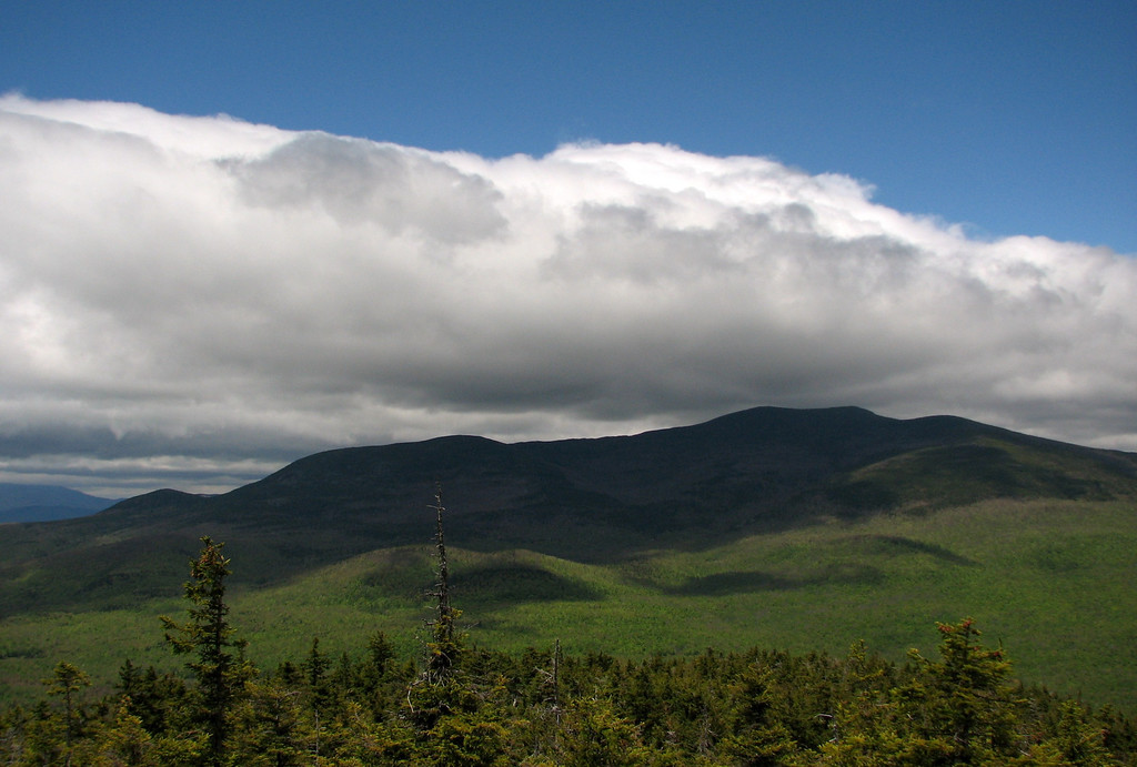
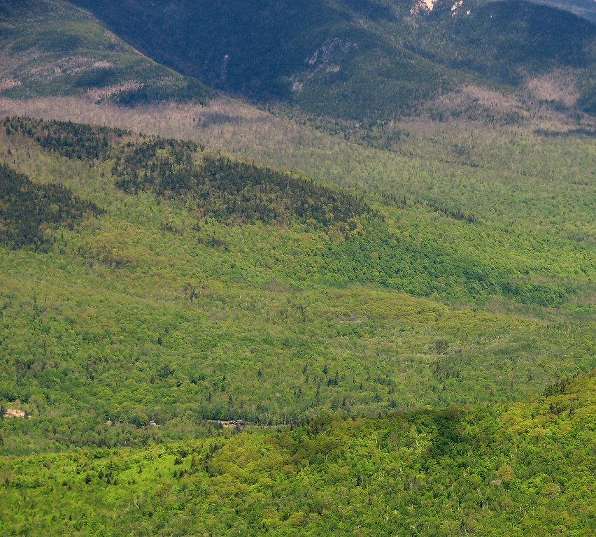
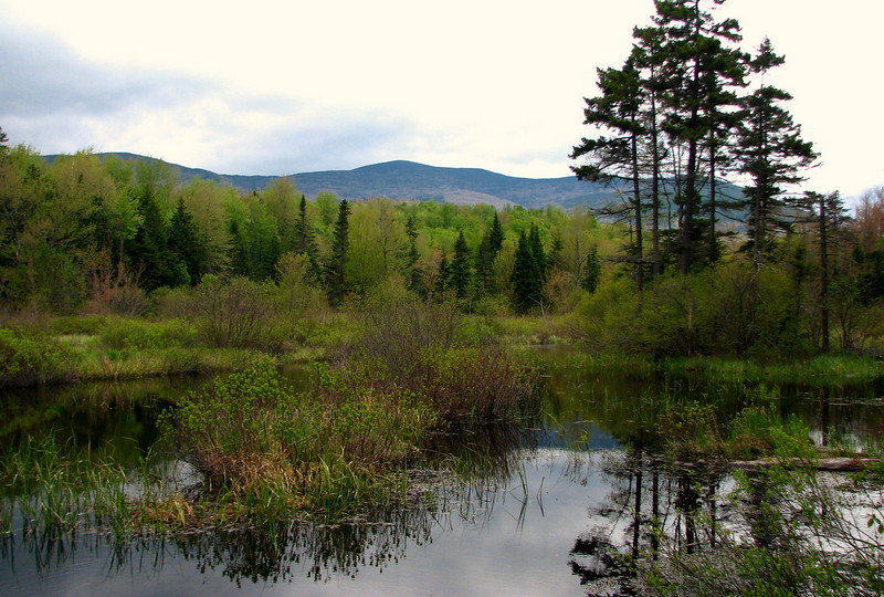
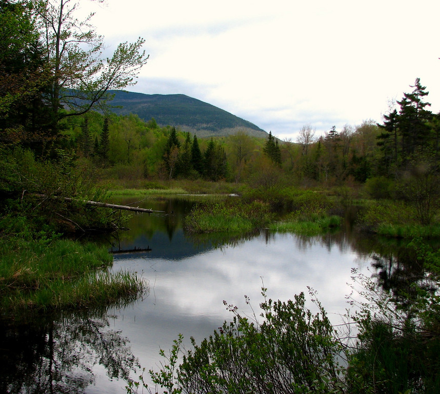
Views opening up, to Squam
868488049_hW2UR-XL.jpg


I was trying out using poles yesterday, to minimize pressure on the knees. I think it did the trick, cause they are not hurting at all today. More on the level of my pain later. haha

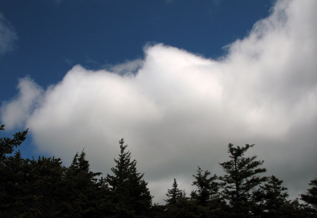
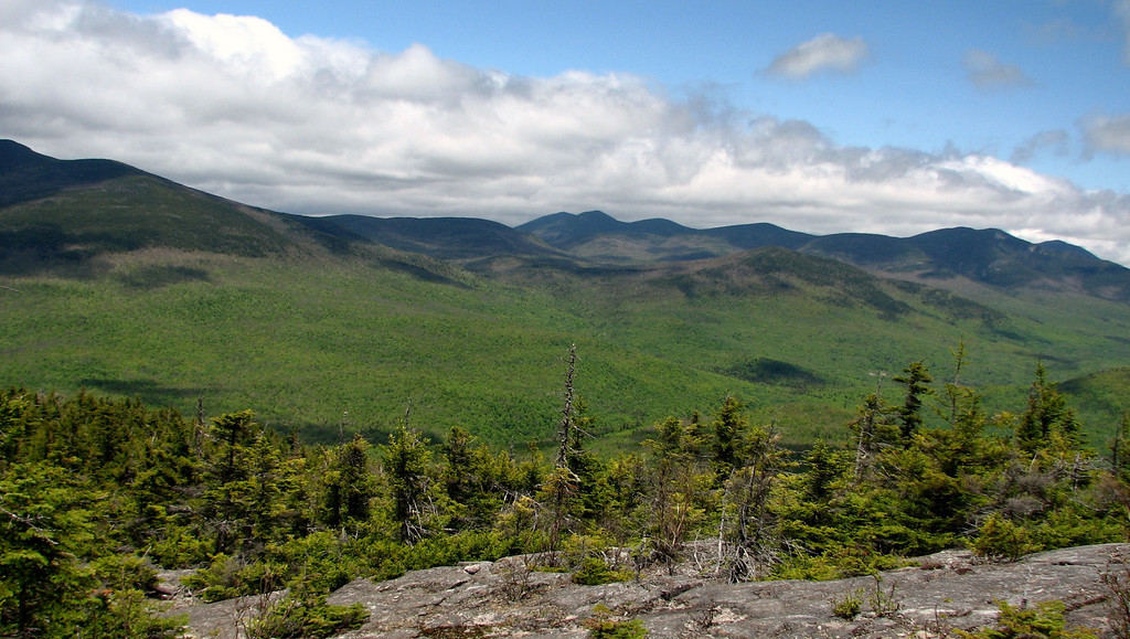
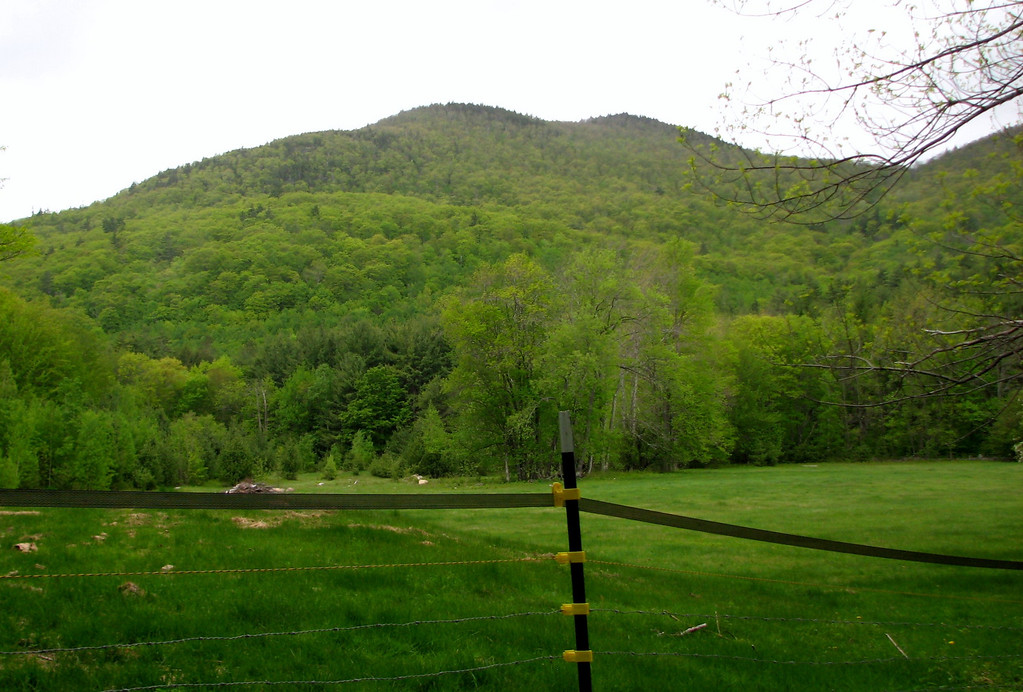
The poles definitely slowed me down (prob a good thing) but it was definitely a steady walk, and we made it to the top in fairly good time. The views from Sandwich Mtn, to Chocoura were fantastic. The upslope clouds were amazing, and very photogenic. Temps were coolish, about 50, and the wind was fairly light, except for a random 20-25 mph gust that would hit you out of nowhere, for no longer than one second.

loving the contrast
868489248_Wowem-XL.jpg


More contrast, upslope clouds, blue, and Sandwich Dome
868490766_UfxLw-XL.jpg


868491328_apX5M-XL.jpg


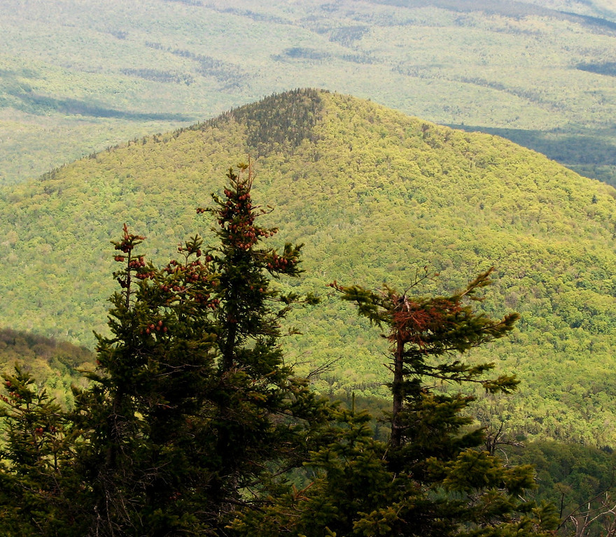
A small peak that took my attention
868491133_nBVyX-XL.jpg


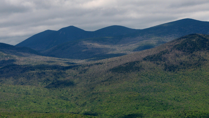
pretty sure...Tri's Sleepers
868491828_5kzJf-L.jpg


mmmmhmmm
868491769_7j8H9-XL.jpg


hiking poles help to make neat hiking pics
868490430_ERiqx-XL.jpg


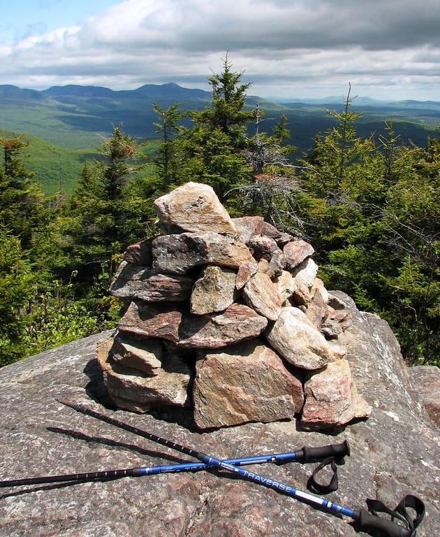
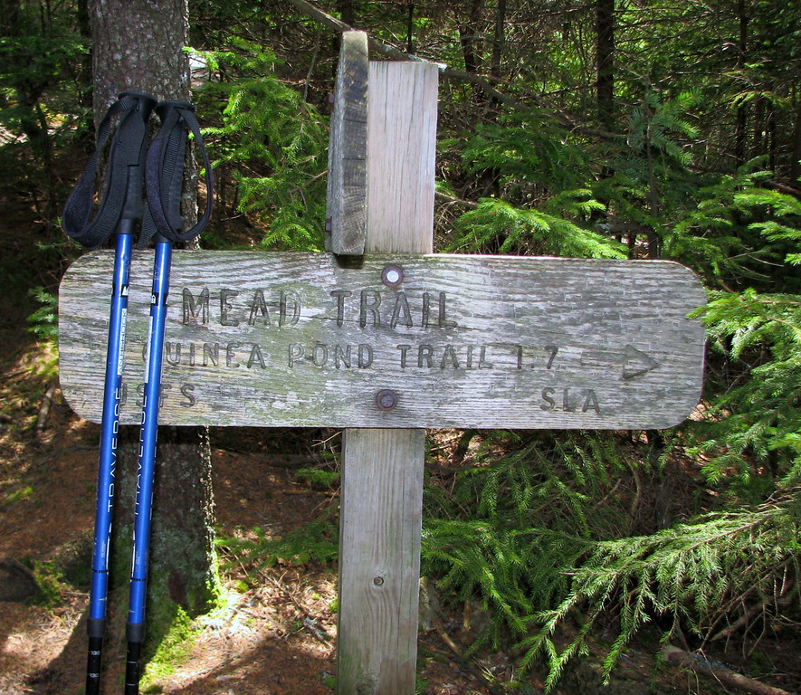
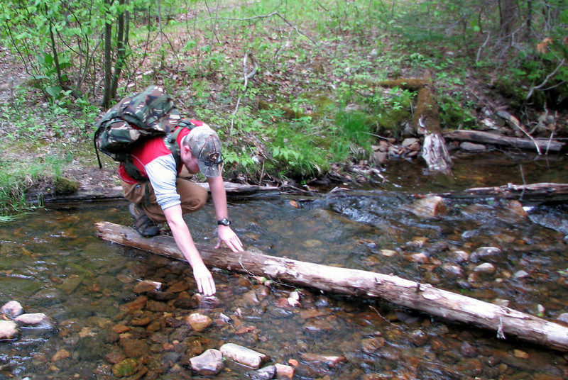
After a lengthy stay up top, it was time for the trip down the Mead trail
868492273_bLFdj-XL.jpg


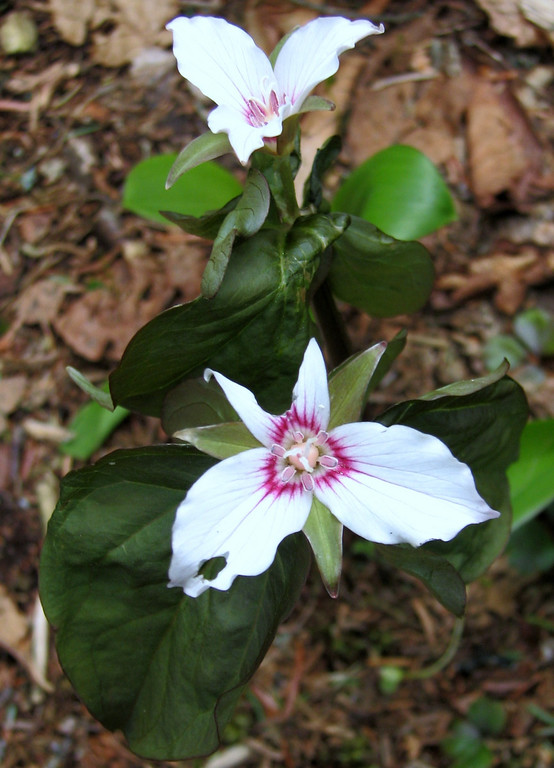
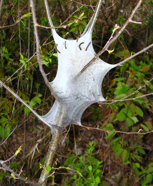
Headed down I noticed lots of trillium
868492657_AZNvz-XL.jpg


more in a minute! grouseking
 
Last edited:
part two, the rest, moose experience, Sandwich Notch rd walk

The Mead Trail is beautiful. Spring is just underway on the upper reaches, and its all a moose highway. Its nothing but birches and hobblebush for nearly the entire length. There are occasional wallows along the way, and areas that look like great moose resting habitat. The only footprints on the 1.7 miles of this trail were moose prints. (Are you reading this forestgnome?? haha) Not to mention the moose dingleberries we had to dodge left and right....

Typical view and habitat on the trail
868492863_UaPcz-XL.jpg


Before long, we were down along the Guinea Pond trail. My buddy and I decided to head up towards the pond. It had been 6 years since I have been there, so I wanted to get another look at it, this time with a digital camera. There were a couple of fun stream crossings.
868493850_Qm6pJ-L.jpg


When we got to the Guinea Pond side trail, we were turned around by a nice flood that had taken over. Too bad....I guess if we really had want to, we could have 'whacked around it and got to the pond, but the desire wasn't there.
868494109_zkrRs-L.jpg


I wasn't sure if there was another way to access the pond, so my buddy and I hiked up the Guinea Pond trail for awhile. A few minutes later, we saw what looked like a canoe, off the trail. Upon further review, we found 3 canoes parked in the woods!

868494299_gDrLW-L.jpg


The reason for spying on the canoes was to see if the pond was visible from this location. We couldn't see anything from there. It might have been right around a bend, but in the super short bushwhack, I had stepped in two piles of moose dingleberries, so I was ready to turn around and hop back on the trail!

I forgot how much I loved this section of the whites. There are so many photogenic shots. I love taking pictures of water (which, if you ever look at my pics, you prob know this by now). So here are more pictures of water.

Thinking this is the Beebe River
868494557_jgLYD-XL.jpg


Avoiding a couple of the crossings, I came across this wonderful angle of the river. BTW, there were trout everywhere in the water
868494689_vEqSY-XL.jpg


We were making quick work of the trail, but were stopped dead in our tracks, when we heard a baby moose making some vocalizations and then sloshing through the water to get away from us. It was visible though some of the tall grass, but didn't return. Poor thing, didn't mean to startle it! We waited about 15 minutes to see if it returned, or possibly reemerged somewhere else within the large beaver pond, but, no dice. That's ok, any wildlife sighting, or experience is wonderful. It is something you never forget.

Beaver Pond
868495037_3yiyo-L.jpg


This is where we heard and saw the baby moose.
868495274_ELJa7-XL.jpg


After the moose experience, we were off and rolling towards Sandwich Notch Rd. The only thing that stopped me along the way was this eastern tent caterpillar. These things are nasty.
868495843_7xwYD-XL.jpg


A few min after this, we were off along Sandwich notch rd, to make the 3.5 mile jaunt back to the car. It was a bit steeper than I remember it, but we took it in stride, and were back at the car within an hour or so. Along the way, a guy in a truck pulled over and asked us if we wanted a ride. We declined, cause darn it, we wanted to earn that hike! If you are on views, thanks for the offer!! I seriously considered it because the bugs were beginning to annoy me!

A few more pics along the way:

Sandwich Notch Rd...if this had been straight and flat...it would have become a death march
868496194_QT449-L.jpg


Leaving the whites...so sad when that happens
868496652_XTQuJ-L.jpg


Nearly back at the car...I assume this is Mt Israel
868497094_bZuwJ-XL.jpg


My knee pain wasn't too bad, and that was why I brought my poles. I worked new muscles I've never felt in my legs, so thats a good thing. I'd like to try a 4k again to see if I can do the really steep stuff again. But after doing this hike, I'm optimistic.

The trip ended up being about 10 miles give or take a few tenths. One side note...we were looking for the Bearcamp River trail near Beebe Falls, but for some reason, walked right past it along Sandwich Notch rd. We wanted to give our feet a break and take a "softer" trail back to the car, but missed it. Oh well. Some other time!! Hope you liked the trip report, and the pics!

http://grouseking.smugmug.com/New-H...srael-and-Visc/12198901_77Xgq#868486917_ys84W

Until we meet again

grouseking
 
Last edited:
Cool photos and great report

Great photos Grouseking! I wish we had a few more openings in the clouds yesterday like you did.
I share your (knee) pain. You'll get used to the poles and you'll rely on them more and more. They do take a tremendous amount of pressure off your knees especially going downhill. I'm getting so I select my hike routes to climb steeply and descend gently.


Thanks shores!! The reason I chose Israel was because I wanted there to be sunshine. I originally chose to do Hale, but I saw the radar and it looked like a crappy-ish day was shaping up, and I don't really like hiking in the rain when its in the 40s or colder.

I can't wait to get used to poles. They def slow me down, but since my knees dont hurt today, I will take that trade off any day. Good idea too....to chose steep ups and not so steep downs!

grouseking
 
I can't wait to get used to poles. They def slow me down, but since my knees dont hurt today, I will take that trade off any day. Good idea too....to chose steep ups and not so steep downs!
Looks like a nice walk in the woods.

You might find the following helpful for using the poles: http://www.dundee.ac.uk/~pjclinch/poles.htm. I certainly find them helpful on steeper trails.

Doug
 
Looks like a nice walk in the woods.

You might find the following helpful for using the poles: http://www.dundee.ac.uk/~pjclinch/poles.htm. I certainly find them helpful on steeper trails.

Doug

Thanks Doug, I've bookmarked that site for future use. I've seen many different sites with many different directions regarding hiking pole usage. I'm assuming that what you post is most correct. :)

It was a fantastic walk in the woods. It makes me want to avoid high peaks altogether. Even on a weekend, there was almost no one. Loved it.
 
Thanks Phil for a great report and excellent photos that took us along with you on your hike.

Don't know if you might be interested, but here is an excerpt from a piece written by Steve Smith:
"Mt. Israel was named for Israel Gilman, who settled in the intervale S of the mountain in the 1760s. With one foot in the White Mountains and the other in the Lakes Region, Mt. Israel offers good views of both as reward for a solid half-day hike with a big-mountain feel."
 
Thanks Doug, I've bookmarked that site for future use. I've seen many different sites with many different directions regarding hiking pole usage. I'm assuming that what you post is most correct. :)
I have no idea if the site is the best or most correct--I just know it is a good one. Pete Clinch is a fairly knowledgeable guy. I read it early in my pole-using days.

BTW, another trick for preserving a weak knee is to back down the steeper sections if the trail is fairly clear.

It was a fantastic walk in the woods. It makes me want to avoid high peaks altogether. Even on a weekend, there was almost no one. Loved it.
Sometimes the journey is more important than the destination. With my leg still pretty weak, I find a few miles in some nondescript woods to be enjoyable. (But then again, I would also enjoy it even if the leg were at full strength... :) )

Doug
 
Thanks Phil for a great report and excellent photos that took us along with you on your hike.

Don't know if you might be interested, but here is an excerpt from a piece written by Steve Smith:
"Mt. Israel was named for Israel Gilman, who settled in the intervale S of the mountain in the 1760s. With one foot in the White Mountains and the other in the Lakes Region, Mt. Israel offers good views of both as reward for a solid half-day hike with a big-mountain feel."

Goof stuff, John. I was definitely wondering where the name came from. It didn't make sense to me that it would be named after a country, esp since most of the prominent mtns, or landmarks around here are named after people. The view over to the Lakes region is growing in though, from the summit anyway. You just need to look around. Still, the best view I could find, of the lakes, was on the Wentworth trail on the way up.

I have no idea if the site is the best or most correct--I just know it is a good one. Pete Clinch is a fairly knowledgeable guy. I read it early in my pole-using days.


BTW, another trick for preserving a weak knee is to back down the steeper sections if the trail is fairly clear.


Sometimes the journey is more important than the destination. With my leg still pretty weak, I find a few miles in some nondescript woods to be enjoyable. (But then again, I would also enjoy it even if the leg were at full strength... :) )

Doug


Tell me about it. My best hikes are the ones where I don't really have a destination. We could have turned around and headed back after hitting Mt Israel, but the Guinea Pond area really called out my name loud. If time had allowed, (and the bugs had not have been insane) I would have hung out there for much longer. Also, if it wasn't for all these beautiful areas, I prob would have had the 4ks all wrapped up by now. :) But I get bored doing the same thing over and over. So it is nice to have so many beautiful places to hike.

grouseking
 
The view over to the Lakes region is growing in though, from the summit anyway. You just need to look around. Still, the best view I could find, of the lakes, was on the Wentworth trail on the way up. grouseking

There is a herd path from the summit cairn leading to a beautiful ledge which opens up the view south to the Ossipees, Squam, Winni, etc. Took me till me 4th or 5th visit to Israel to finally stumble upon it. Real nice.
 
Great report and outstanding pics! I too share your knee pain and hike with poles. But I generally only use them on the descent, and water crossings. One of the features I like about Osprey packs, are the hiking pole stowing system which allows you to store/retrieve your hiking poles on the fly...... I'm allergic to Vitamen I (Ibuprofen), and use Aleve (Naproxen).

Petch
 
Top