Chip
Well-known member
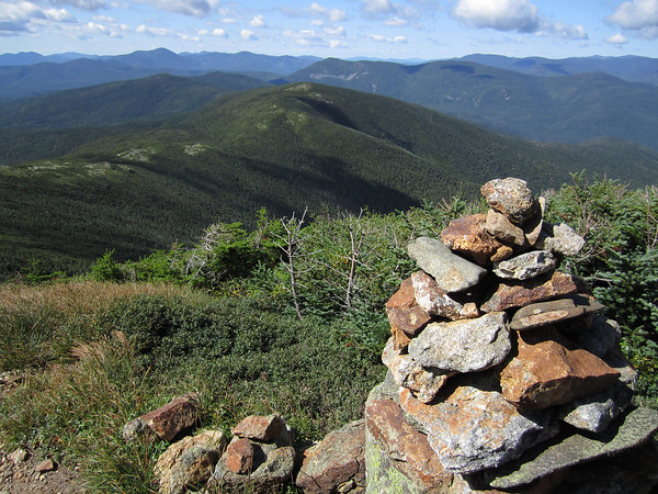
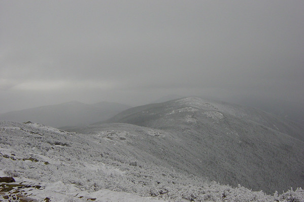
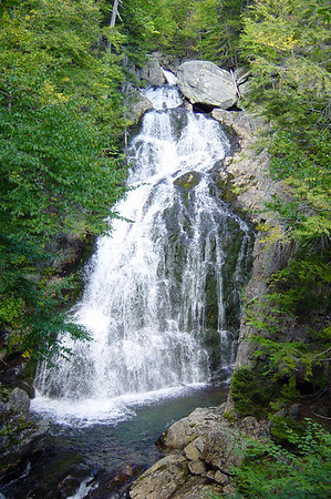
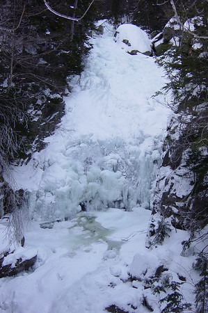
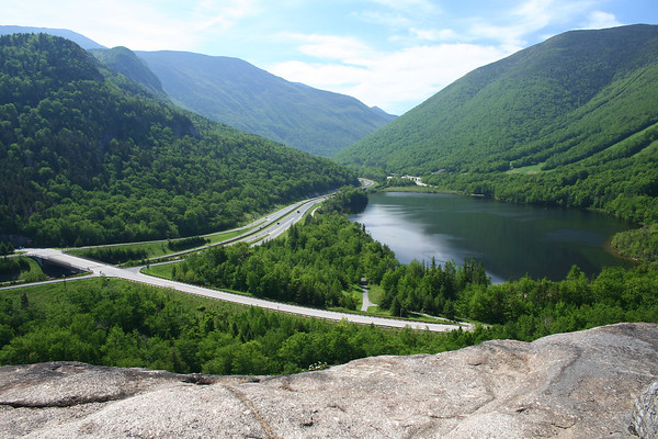
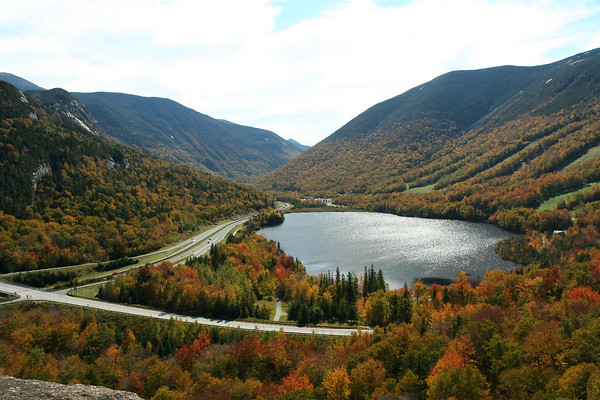
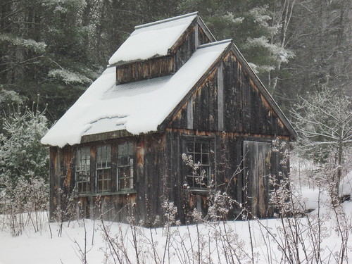
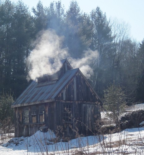
Anyone interested in some side be side pic comparisons of the same place in different seasons ? This may have been done. I'll post a couple this afternoon. I'll delete this post if it's been done recently.


")


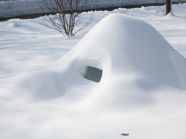
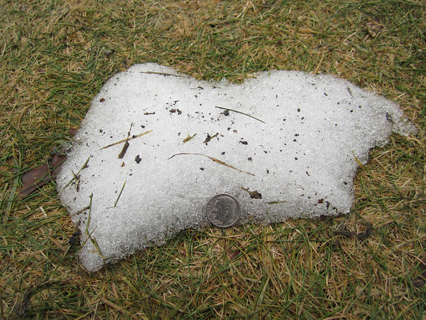
 Amazing. 5 feet of snow on the ground a month ago. At least you found a dime .
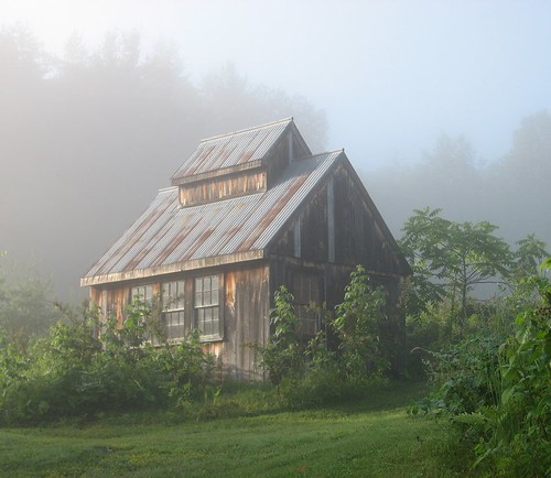
Enter your email address to join: