
Kevin Judy and Emma
Well-known member
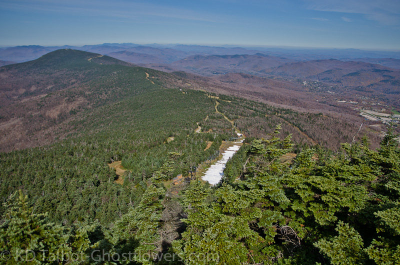
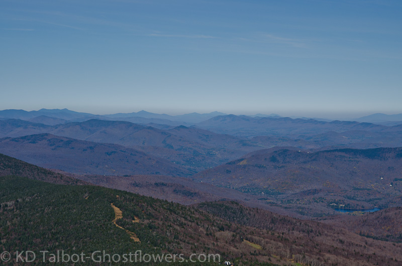
View Towards Pico from Killington
Killington Peak 4235'
Bucklin Trail
7.4 Miles 2500' Elevation gain
Kevin, Judy, Emma, Blue and Bob
The hike to Killington Peak has been on the back burner for some time now. It seems every time we have gone to hike in vermont it has rained on us. On one trip we climbed Camel's Hump and Mansfield in the fog and drizzle. Next day, the day we were leaving we drove up Mansfield because, of course, we were leaving and the weather was good. So, we have seen the views from Mansfield. Another time we hiked Abraham and Ellen in the fog and drizzle. When we returned to backpack the same hike we started out on a beautiful fall day and ended up camping in a wind driven rain that about blew us off the mountain. This time the hike would pay for all...
In the Early Going
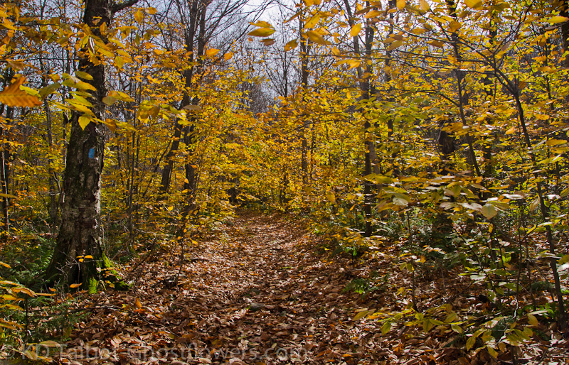
We arrived in Killington and drove the 4 miles or so out the Wheelerville Road to the Bucklin Trailhead on the west side of the mountain. It was chilly as we got out of the car as the sun was still pretty low when we started out. We warmed up by hiking while the temps did the same. This time we had a beautiful fall day for a hike. The Bucklin Trail starts out wide and flat with good footing and stays that way for a couple of miles. There are well maintained bridges and stairs as it passes through young deciduous forest which leads me to believe we were on a skidder road in woods that have recently been harvested. We make good time through this section, cross the brook again and begin to gain some elevation which to this point has been nil.
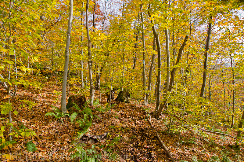
Almost All That's Left of the Foliage
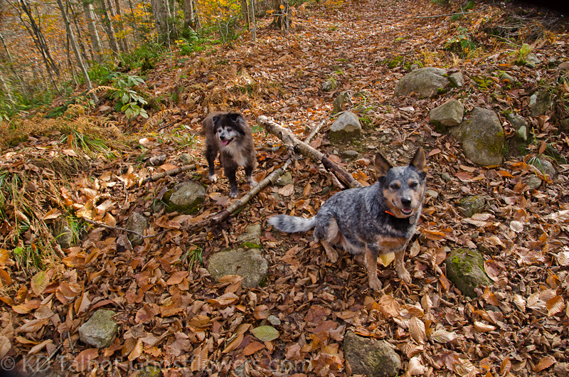
Trail Buds
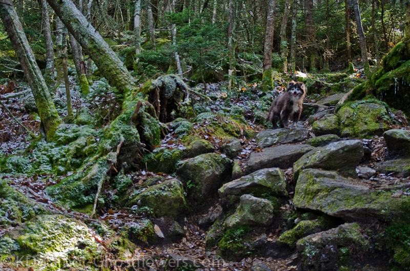
Even as the trail begins to ascend the western flank of Killington the footing remains relatively smooth, a real pleasure to walk along. Rocks and roots seem few and far between. The forest seems bare except for the understory which has patches of brilliant yellows and golds. The bright sun warms some, but not a lot. I hardly break a sweat as we continue up to where the forest suddenly turns to evergreen. Here where the sun cannot penetrate as well it feels cooler and I notice the water droplets on the fir branches are frozen. As we reach the junction with the LT/AT there is the lightest dusting of snow.
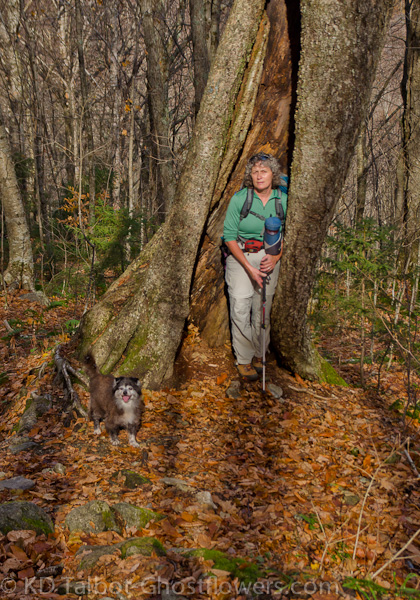
At "The Tree"
A Dusting of Snow Above Cooper Lodge
Just past the junction we stop briefly to check out the Cooper Lodge. The stonework is beautiful and made to last, the rest not so much. Inside it is dank and the windows are missing any type of screen. It seems a shame it is not in better shape as a few thousand dollars would make it a premiere hut along the trail. From their we began the last two tenths to the summit. Judy said,"I hope it's as easy as the rest of the hike." and I said, in jest, "Nope, it's straight up and you have to scramble." I was close to being right, though there is only one or two spots that could be considered "a scramble."
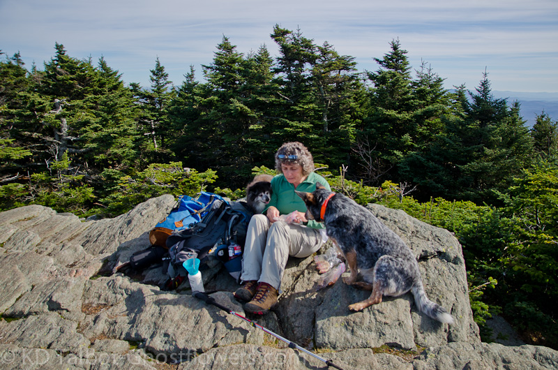
Lunch Time!
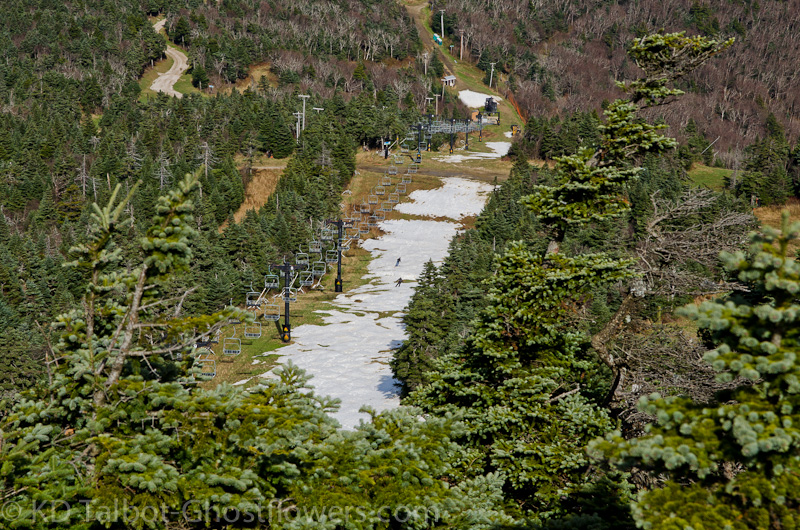
Taking Some Turns
For the first time Emma, Judy and I scrambled onto a summit in Vermont together and had a view, and what great views to the south, west and north, but obscured by trees and buildings to the east. Nonetheless they views were breathtaking. It was quite obvious by the grays and browns that autumn had passed this area by and winter was not far away. Still, the rolling hills surrounding, glimpses of the ski trails and other mountains along the ridge, more mountains to the distant north and west, it was a great place to be. The only drawback to the scene was that there was construction going on. It looked as though they were digging a foundation hole for a new celltower or something of the like. A man operated a jackhammer rock drill the entire time we were on the summit. I should have tried to convince him that we were all going to eat lunch, he should too! After a while I didn't hear it anymore.
Zoom North Towards Camel's Hump
As we ate another group of dogs arrived, got barked down by Blue who was protecting our food, left the summit in search of their masters, then returned. All rescues like Emma and Blue, and all well behaved. I spent some time talking to the other hikers, those in the group were into their seventies, indeed, one fella was nearly eighty! I hope all my hiking friends should be so fortunate to still be out there at that age! He was talking about doing all 48 again after he reached eighty years old! I hope he does!
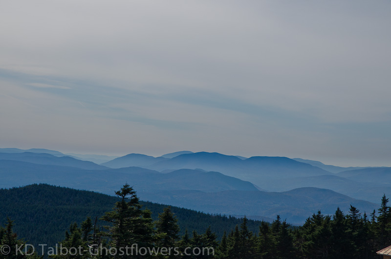
View South Looked Like "The Smokies" Today
Below us there was a ski trail that they had covered in snow last weekend. It was pointed out to me that it was a promotional hook no doubt to say, "First skiable snow" or some such nonsense. We watched as two skiers took some turns down the 100yds or so of skiable surface. Gotta admit, it looked like fun! I'm ready! We finished up our lunch and headed down. The day had warmed up nicely and the sun had come around more towards the southwest and was now sending its warmth and brilliant light into the bright yellow understory. The hike down on smooth, moderate trails was a dream. No bugs, no humidity, not sweating and not freezing. My kind of hike! Judy, Emma and I have now hiked the five 4000 Footers in Vermont. We will go back for the handful of hundred highest soon!
Full set of pics HERE:
KDT
Last edited: