
ksearl
Active member
Hi Everyone,
Jill and I were able to hike Mount Belknap (or Belknap Mountain...conflicting published data and trail signs have me confused) this past week. It was a pretty easy hike as we were able to park at the top of the Carriage Road. We made a loop (Red up, Blue down) and did not detour to the plane crash site, although, I plan on going back to do this. I was surprised that there were no views unless you do climb the fire tower. On this day however, the distance we could see was very limited as it was very hazy. I have heard you can see MW on a clear day. Here's my detail report if you'd like to read it: http://livefreeandhikenh.blogspot.com/2013/09/loop-hike-on-mount-belknap-08-27-13.html
Also, here are a few of my favorite shots if you don't feel like heading over to my blog:
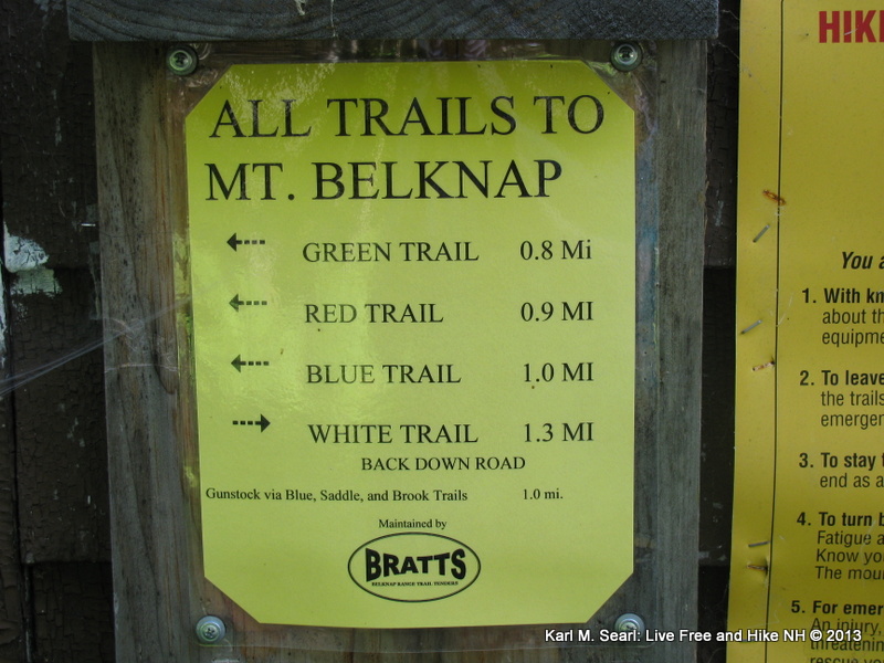
Notice it says Mount Belknap, not Belknap Mountain???
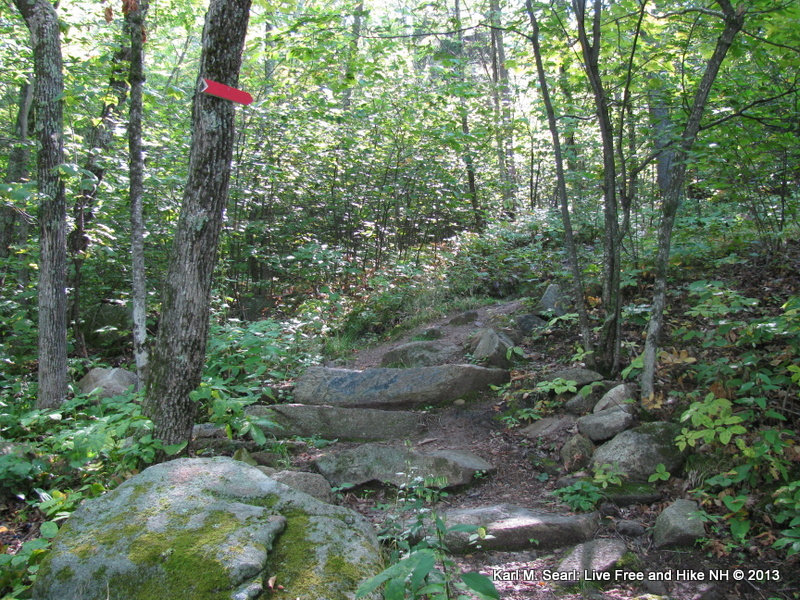
Red Trail
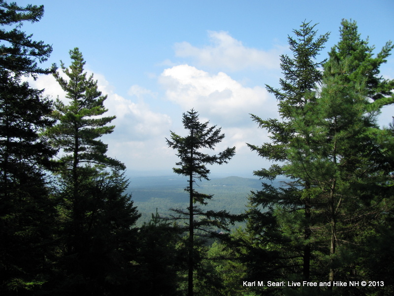
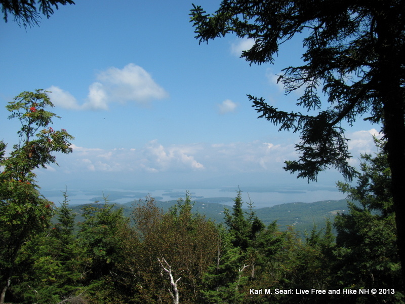
Restricted view point on Red Trail
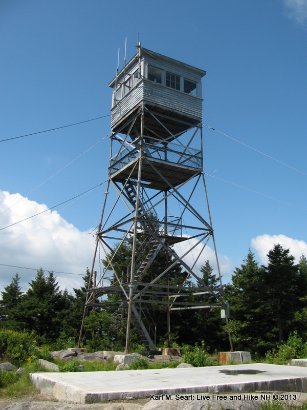
Fire Tower
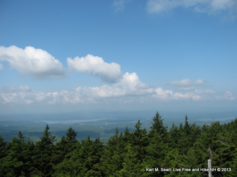
Hazy views from summit
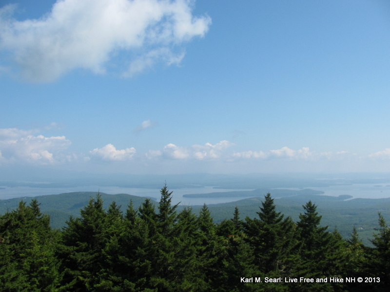
Another hazy view from the summit
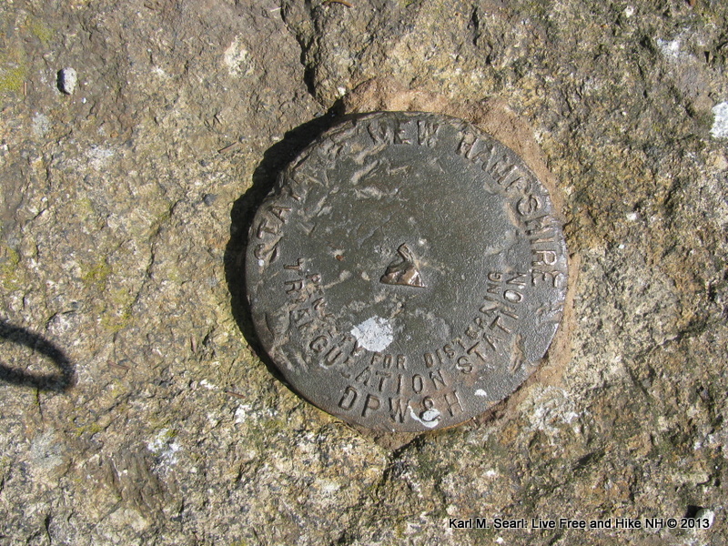
NH DPW&H Benchmark
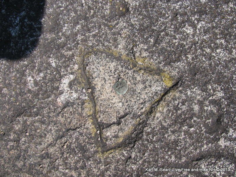
Another benchmark, triangle in granite with a copper cap mounted in the middle
First view point on the Blue Trail heading down
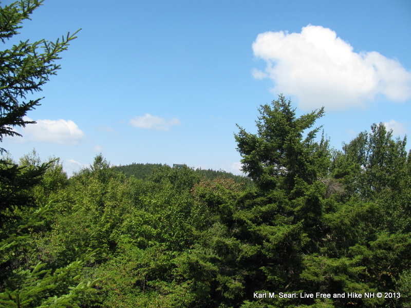
Described as an outlook to Gunstock in the AMC Guide, but was very restricted
Jill and I were able to hike Mount Belknap (or Belknap Mountain...conflicting published data and trail signs have me confused) this past week. It was a pretty easy hike as we were able to park at the top of the Carriage Road. We made a loop (Red up, Blue down) and did not detour to the plane crash site, although, I plan on going back to do this. I was surprised that there were no views unless you do climb the fire tower. On this day however, the distance we could see was very limited as it was very hazy. I have heard you can see MW on a clear day. Here's my detail report if you'd like to read it: http://livefreeandhikenh.blogspot.com/2013/09/loop-hike-on-mount-belknap-08-27-13.html
Also, here are a few of my favorite shots if you don't feel like heading over to my blog:
Notice it says Mount Belknap, not Belknap Mountain???
Red Trail
Restricted view point on Red Trail
Fire Tower
Hazy views from summit
Another hazy view from the summit
NH DPW&H Benchmark
Another benchmark, triangle in granite with a copper cap mounted in the middle
First view point on the Blue Trail heading down
Described as an outlook to Gunstock in the AMC Guide, but was very restricted