JacobH
Active member
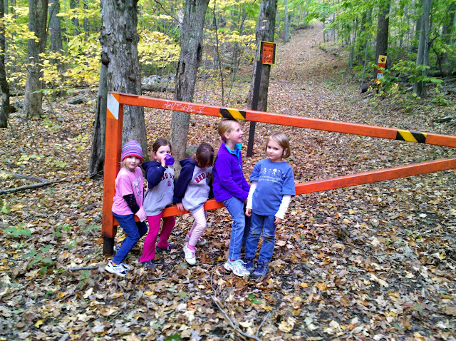
My friend Paul was out of town for a few days, but the day before his flight home he spontaneously messaged me asking if I we should get the kids together for a walk. We had been planning a trip like this for quite awhile, but our schedules just didn't line up right. No better time than the present when you've got 3 hours to kill on a Sunday afternoon, right? We loaded up our packs with water and snacks and warm clothes (just in case, never know in late October if it will be needed), and set off for Deerfield. A short, 20 minutes later, we were cruising down the dirt end of Reservation Road, and parked at the North Pawtuckaway Mountain trail head. The parking lot (3 cars tops) was full and there was a bus and many other cars pulled off to the side, so we did the same. Paul and I unpacked ourselves, our gear, and our ladies and we started out down the very flat approach to North Pawtuckaway. This volcanic ring-dike is quite special, it rises up from the surrounding terrain in 3 semi-circular hills. All approaches reach a point where they are steep for a few tenths of a mile, then again flat once you're on top.
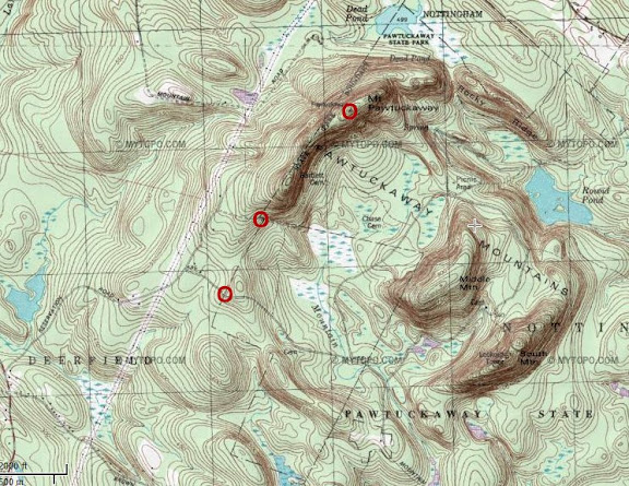
You can follow the route here, even though it is unmarked. It effectively stays within a few yards of the State Park Boundary line shown here, starting from Reservation Road and going to the top of north peak, shown as the triangle to the left of the "Mt Pawtuckaway" text. The first O is the parking lot, the 2nd O is the intersection of Snowmobile Corridor 17/North Mountain Bypass and the North Mountain Trail, and the 3rd O is the high point.
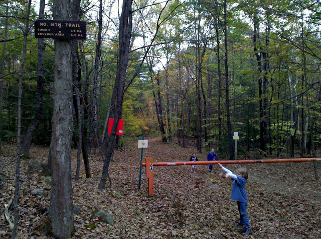
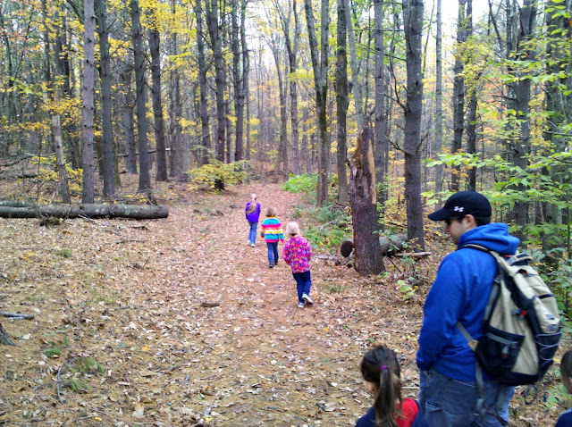
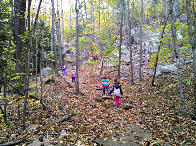
The trail begins very flat along the snowmobile trails. We let the chillun's lead the way, mostly because we enjoy watching them interact while we chat.
The quarter of a mile after the intersection of the Bypass trail is where 90% of the elevation gain is. So up we went.
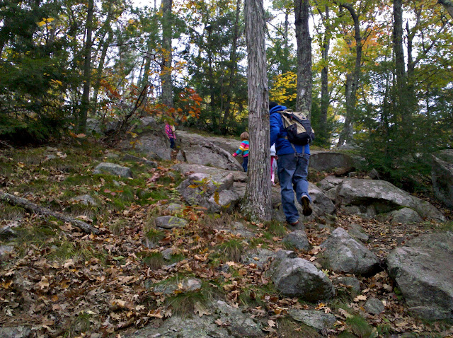
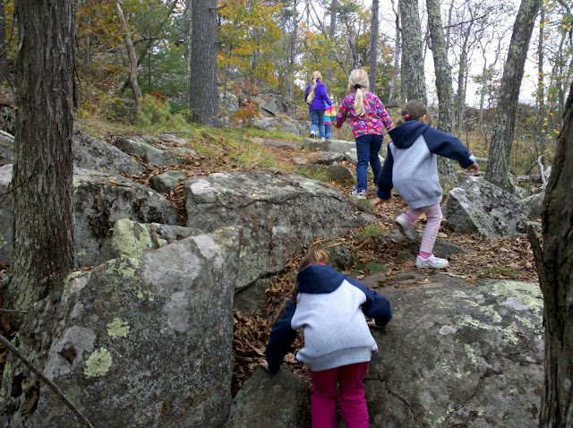
And up some more! Along the way we taught the younger, less-experienced ones about scrambling and using the available landscape for ascent. Also, that sitting down on your butt is OK, and preferred to falling on your face! This trail does require the use of hands, especially when you are low to the earth.
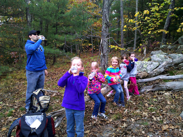
We kept hydrated once we reached the top of the steep part. Here is about halfway to the true summit, with most of the elevation gain out of the way.
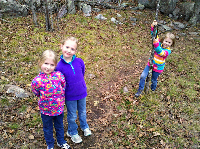
Three of the loves of my life.
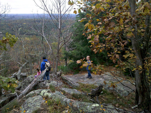
A final scramble here before the views open up a bit and the trail flattens out.
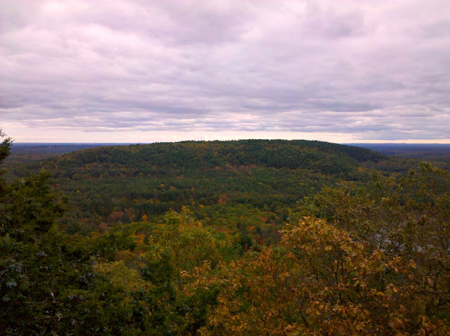
We had planned to go to at least the first viewpoint, after the steep part of the trail. We didn't know if Paul's 3 year-old (or my 5YO with JRA for that matter) would be ready to continue for the rest of the way to make the full 3 mile trip. We let the women make the decisions on this adventure. We stopped at the first "peak" and view. Here's looking across Middle to South Mountain. The South Mountain fire tower is a speck on the right side of the hill far in the back.
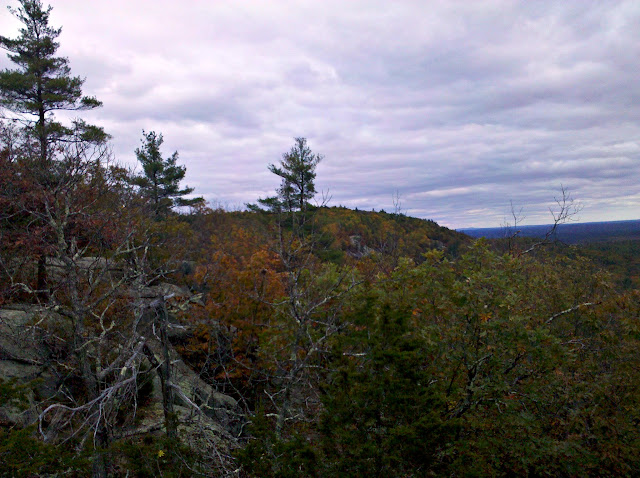
And the view for the last 1/2 mile to the true summit. Not much elevation from here to there.
We asked the group how they were feeling and if everyone was up to continuing on to the true top. All were doing well, no injuries to report, so we finished our snack, then we were back on the trail.
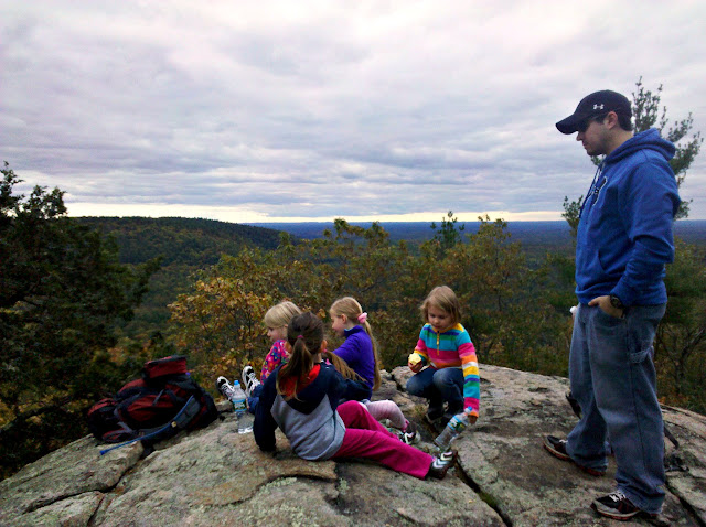
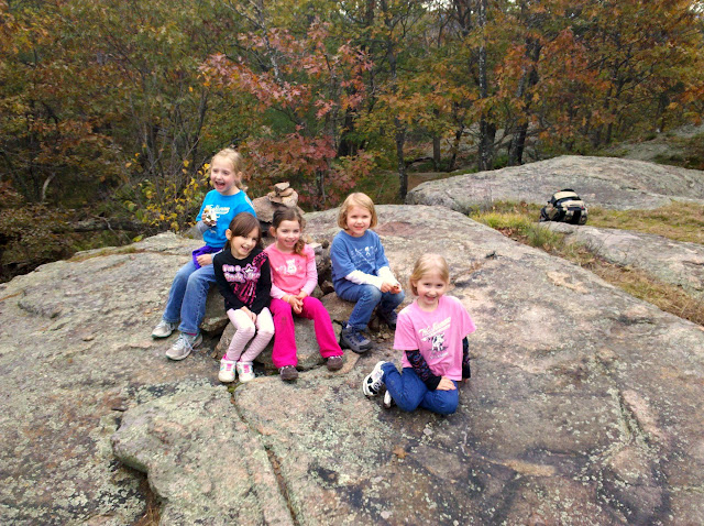
In just a few minutes, we reached the top.
We stopped again for some water and another snack. The girls were in great spirits, they literally did laps around the cairn and examined the local features. It's quite rocky for such a small mountain, the whole park is for that matter. All in all, they probably put another mile under their feet playing. After a bit we began the trek back to the vehicles. Paul and I stressed the importance of safety when descending, especially on leafy trails in the fall season. Sometimes lessons need to be learned the hard way. Here's Lillie after she took a tumble and skinned her hand and ripped her pants at the knee.
cont'd...
You can follow the route here, even though it is unmarked. It effectively stays within a few yards of the State Park Boundary line shown here, starting from Reservation Road and going to the top of north peak, shown as the triangle to the left of the "Mt Pawtuckaway" text. The first O is the parking lot, the 2nd O is the intersection of Snowmobile Corridor 17/North Mountain Bypass and the North Mountain Trail, and the 3rd O is the high point.
The trail begins very flat along the snowmobile trails. We let the chillun's lead the way, mostly because we enjoy watching them interact while we chat.
The quarter of a mile after the intersection of the Bypass trail is where 90% of the elevation gain is. So up we went.
And up some more! Along the way we taught the younger, less-experienced ones about scrambling and using the available landscape for ascent. Also, that sitting down on your butt is OK, and preferred to falling on your face! This trail does require the use of hands, especially when you are low to the earth.
We kept hydrated once we reached the top of the steep part. Here is about halfway to the true summit, with most of the elevation gain out of the way.
Three of the loves of my life.
A final scramble here before the views open up a bit and the trail flattens out.
We had planned to go to at least the first viewpoint, after the steep part of the trail. We didn't know if Paul's 3 year-old (or my 5YO with JRA for that matter) would be ready to continue for the rest of the way to make the full 3 mile trip. We let the women make the decisions on this adventure. We stopped at the first "peak" and view. Here's looking across Middle to South Mountain. The South Mountain fire tower is a speck on the right side of the hill far in the back.
And the view for the last 1/2 mile to the true summit. Not much elevation from here to there.
We asked the group how they were feeling and if everyone was up to continuing on to the true top. All were doing well, no injuries to report, so we finished our snack, then we were back on the trail.
In just a few minutes, we reached the top.
We stopped again for some water and another snack. The girls were in great spirits, they literally did laps around the cairn and examined the local features. It's quite rocky for such a small mountain, the whole park is for that matter. All in all, they probably put another mile under their feet playing. After a bit we began the trek back to the vehicles. Paul and I stressed the importance of safety when descending, especially on leafy trails in the fall season. Sometimes lessons need to be learned the hard way. Here's Lillie after she took a tumble and skinned her hand and ripped her pants at the knee.
cont'd...