
spencer
New member
- Joined
- Sep 4, 2003
- Messages
- 1,483
- Reaction score
- 194
I don't have a full trip report, but a few friends and I scrambled up the northern wall of the North Basin on Katahdin yesterday. This was our only real objective for the day.
From Blueberry Knoll we picked out a route that followed a crevice from left to right, but shortly after we left Blueberry Knoll we lost all visibility so we just guesstimated. From BK we headed west into the North Basin a couple hundred yards, then headed north and whacked through a band of mountain ash, birch and blueberries. This took us down, through, and back out of a treed gully. Shortly after, we began the real ascent of the northern wall. Much of this portion of the route was class 3 scrambling on wet, slippery boulders. We found a lot of evidence of relatively recent rock slide activity, and were glad when we finally got off the unstable boulders.
We reached the shoulder probably somewhere around 3600 feet. Though we had been in the mist all morning and were already pretty wet from the trees, it actually started to rain steadily at this point and the wind began to blow. We then made our way up the east-west ridge to the northern-most Howe Peak and headed to Hamlin via the North Peaks Trail.
All along, I had had in the back of my mind that I'd like to visit Baxter Peak, since I hadn't been there yet this year. One of my friends reminded me I had been there last in March. Since we had all been there many times and were soaked, we decided to descend the the Saddle Trail. We stopped at Chimney Pond and refueled in the terrific new picnic shelter (nice benches!) where the old bunkhouse was.
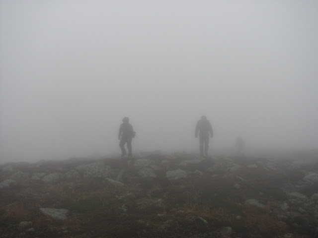
Not many pictures to report since it looked like this all day:
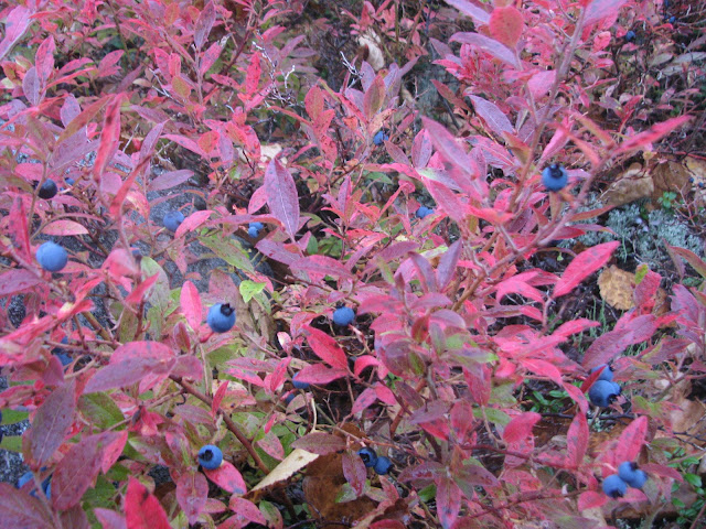
However, it also looked like this much of the day:
From Blueberry Knoll we picked out a route that followed a crevice from left to right, but shortly after we left Blueberry Knoll we lost all visibility so we just guesstimated. From BK we headed west into the North Basin a couple hundred yards, then headed north and whacked through a band of mountain ash, birch and blueberries. This took us down, through, and back out of a treed gully. Shortly after, we began the real ascent of the northern wall. Much of this portion of the route was class 3 scrambling on wet, slippery boulders. We found a lot of evidence of relatively recent rock slide activity, and were glad when we finally got off the unstable boulders.
We reached the shoulder probably somewhere around 3600 feet. Though we had been in the mist all morning and were already pretty wet from the trees, it actually started to rain steadily at this point and the wind began to blow. We then made our way up the east-west ridge to the northern-most Howe Peak and headed to Hamlin via the North Peaks Trail.
All along, I had had in the back of my mind that I'd like to visit Baxter Peak, since I hadn't been there yet this year. One of my friends reminded me I had been there last in March. Since we had all been there many times and were soaked, we decided to descend the the Saddle Trail. We stopped at Chimney Pond and refueled in the terrific new picnic shelter (nice benches!) where the old bunkhouse was.
Not many pictures to report since it looked like this all day:
However, it also looked like this much of the day: