
Jazzbo
Well-known member
- Joined
- Jan 1, 2005
- Messages
- 1,197
- Reaction score
- 163
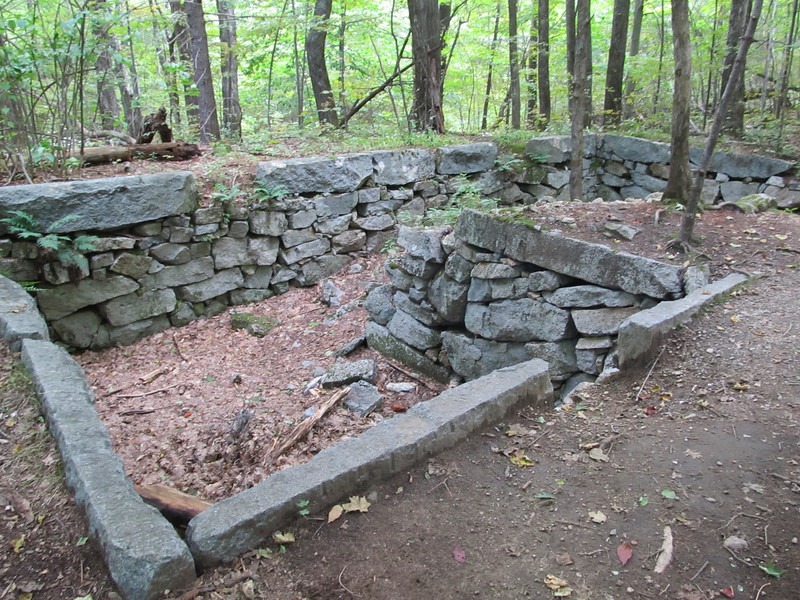
I hiked Red Hill via Red Hill Trail TH on Red Hill Road. I hiked to the junction where there is a really nice cellar hole. Site of the Horne Homestead built in 1828. The native rock fractures in nice rectangular slabs perfect for masonry work. This cellar hole still looks new!
Not far from here I opted to follow what I thought was snow mobile trail that leads up to the col where Cook Farm used to be. The trail was grass covered and looked to have been mowed, but not walked on much compared to the rocky rough main trail that most take to get to the summit. I reached the saddle where Cook Farm used to be. This is a nice peaceful spot. Shortly I came across this extremely charming and quaint cabin.
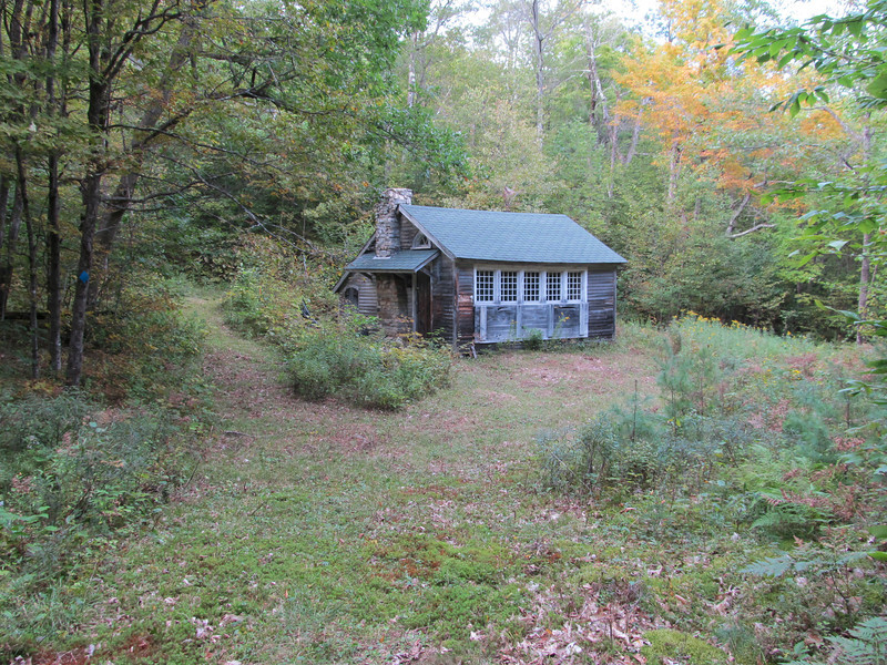
The grassy trail went behind the cabin so I followed it. I was intending to bushwhack to summit from the col, but instead I found the trail morphed into a "bootleg" trail that I followed all the way to the summit. It took me over some very nice open forest terrain. I read that Red Hill has numerous fires over the last 30 years. This must contribute to the open hardwood forest. Seems to have kept understory clear, but not harmed the over story trees mush. I recall someone who said native Americans used to do controlled burns to keep the forests nice. This must be what it looked like. The trail doesn't see much traffic. Still lots of leaf litter and barely a tread way. Odd thing was it seems too steep for snowmobile to use and the trail was well marked with blue diamonds blazes.
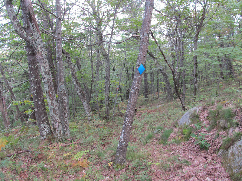
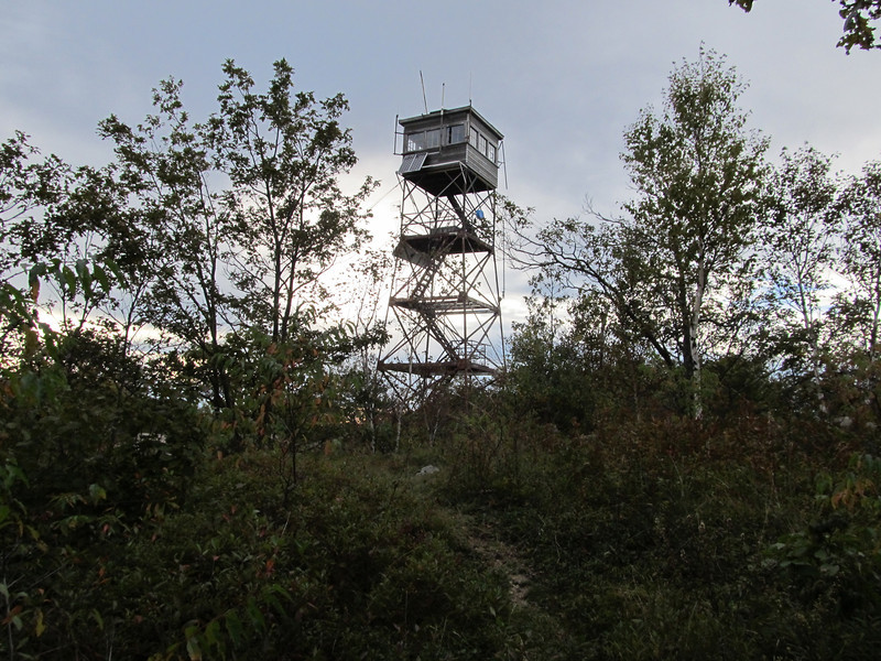
I'm wondering if any one knows what this trail is? It isn't shown on the Squam Lakes Association map. Blue blazes indicate it must be some sort of official trail. Portions of it run straight up the slope which would start washing out in no time if used as a foot trail. Could be a ski trail? I was soon at the top and the tower. Weather was not good for photography as clouds were coming for a spell of wet weather. In spite of this views of lakes, Sandwich and Ossipee Range were still awesome. I'll just close with a snap shot of the tower.
Not far from here I opted to follow what I thought was snow mobile trail that leads up to the col where Cook Farm used to be. The trail was grass covered and looked to have been mowed, but not walked on much compared to the rocky rough main trail that most take to get to the summit. I reached the saddle where Cook Farm used to be. This is a nice peaceful spot. Shortly I came across this extremely charming and quaint cabin.
The grassy trail went behind the cabin so I followed it. I was intending to bushwhack to summit from the col, but instead I found the trail morphed into a "bootleg" trail that I followed all the way to the summit. It took me over some very nice open forest terrain. I read that Red Hill has numerous fires over the last 30 years. This must contribute to the open hardwood forest. Seems to have kept understory clear, but not harmed the over story trees mush. I recall someone who said native Americans used to do controlled burns to keep the forests nice. This must be what it looked like. The trail doesn't see much traffic. Still lots of leaf litter and barely a tread way. Odd thing was it seems too steep for snowmobile to use and the trail was well marked with blue diamonds blazes.
I'm wondering if any one knows what this trail is? It isn't shown on the Squam Lakes Association map. Blue blazes indicate it must be some sort of official trail. Portions of it run straight up the slope which would start washing out in no time if used as a foot trail. Could be a ski trail? I was soon at the top and the tower. Weather was not good for photography as clouds were coming for a spell of wet weather. In spite of this views of lakes, Sandwich and Ossipee Range were still awesome. I'll just close with a snap shot of the tower.
Last edited: