
ferrisjrf
New member
- Joined
- Apr 2, 2008
- Messages
- 189
- Reaction score
- 242
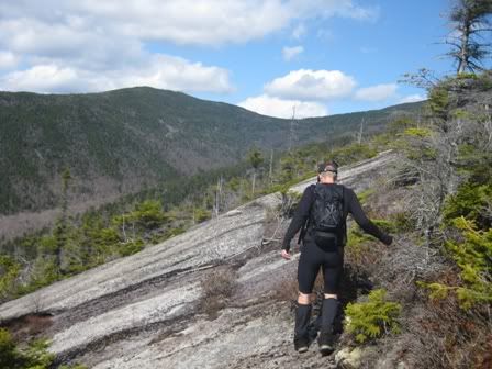
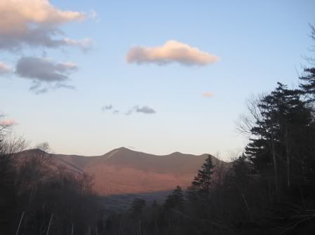
We got to the top of Dickey at about 11:30AM. The weather was good. There were no leaves on the trees. Tecumseh looked so close. We headed that way.
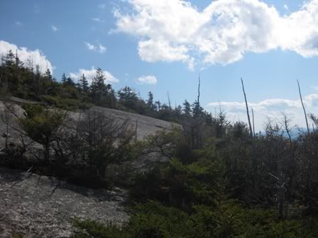
Lots of open ledge if you stayed up high. Lots of open woods down low. Even some old logging roads to screw around on, when the woods weren't doin' it for us. The water was running pretty well all over the mountains, and we were treated to a sweet waterfall at one of the drainages off Hazelton Brook.
Due to various reports of monsters in the woods at night, we had to move fast at the end, so we didn't get caught after dark. Luckily, we'd acclimatized well the night before, so we were in good shape for it. I was particularly worried about GPS WAAS satellite number 48 not responding to my commands, but my fears proved to be unfounded. We ran into a dozen 13 year olds training for K2, and they all laughed at us as I tried unsuccessfully to strain water into my Platypus using my socks. We may or may not have worn crampons and/or tents all day.
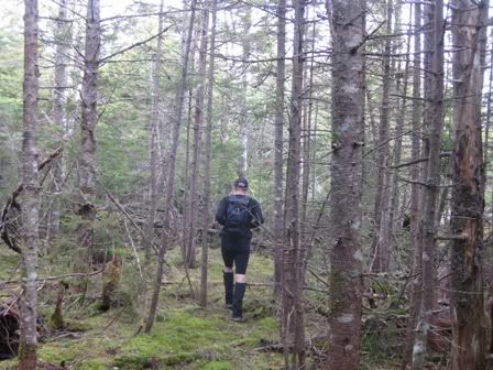
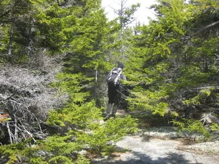

")