
Amicus
Well-known member
- Joined
- Aug 28, 2005
- Messages
- 1,145
- Reaction score
- 112
The Charles River Link Trail, which opened last June, spans a choice stretch of the Charles, running 16 miles from Medfield to Newton Lower Falls by Cordingly Dam. It is a stellar addition to the roster of long-distance hiking trails in the Metro Boston Area, and a giant first step to linking the Bay Circuit Trail, where it begins, in Medfield, to downtown Boston.
I hiked it both ways this weekend. Saturday morning, starting from Newton Lower Falls, I traversed linked segments of the Wellesley Trails system. As I climbed and descended repeatedly the eskers and drumlins that give Wellesley Hills its name, I was reminded anew that eastern Mass. is not flat. The Trail passes Longfellow Pond, Wellesley Country Club, a long stretch of the Sudbury Aqueduct and the campuses of Babson and Olin Colleges.
Today I picked up at Pegan Hill in Dover. This section passes through the TTOR's Pegan Hill, Peters and Chase Woodlands Reservations and a big chunk of Medfield State Forest, with views of the Charles along the Rocky Narrows section. 68% of the CRLT is off-road - an impressive percentage for a new trail through those towns. The rest is mostly in Wellesley and Dover, so we're not talking Mean Streets.
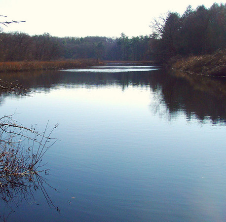
If you hike the Link, expect views of the Charles in both peaceful:
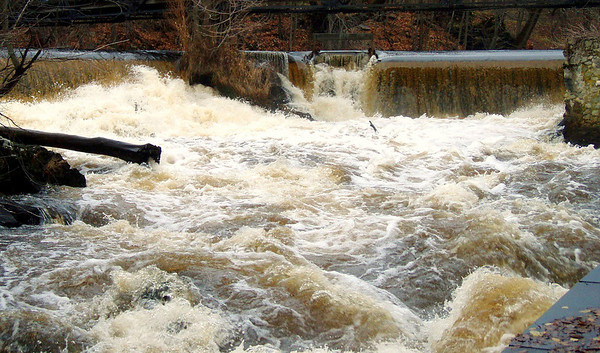
and angry mood:
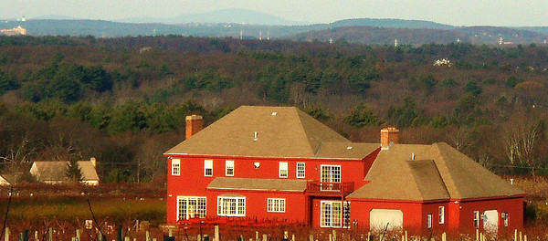
a view of Monadnock over Nobscot Hill, from the slopes of Pegan Hill:
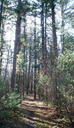
mellow paths through pine groves:
and a few things you won't find elsewhere, such as the Babson Globe - the world's biggest when it was dedicated in 1955:

The CRLT website includes a link to an admirably detailed Trail Description with maps. While many individuals and organizations played a part in creating this Trail, its prime mover is Denny Nackoney, a leader both of the Bay Circuit Alliance and of Wellesley Trails. Thanks, Denny!
The rest of my pix are here.
I hiked it both ways this weekend. Saturday morning, starting from Newton Lower Falls, I traversed linked segments of the Wellesley Trails system. As I climbed and descended repeatedly the eskers and drumlins that give Wellesley Hills its name, I was reminded anew that eastern Mass. is not flat. The Trail passes Longfellow Pond, Wellesley Country Club, a long stretch of the Sudbury Aqueduct and the campuses of Babson and Olin Colleges.
Today I picked up at Pegan Hill in Dover. This section passes through the TTOR's Pegan Hill, Peters and Chase Woodlands Reservations and a big chunk of Medfield State Forest, with views of the Charles along the Rocky Narrows section. 68% of the CRLT is off-road - an impressive percentage for a new trail through those towns. The rest is mostly in Wellesley and Dover, so we're not talking Mean Streets.
If you hike the Link, expect views of the Charles in both peaceful:
and angry mood:
a view of Monadnock over Nobscot Hill, from the slopes of Pegan Hill:
mellow paths through pine groves:
and a few things you won't find elsewhere, such as the Babson Globe - the world's biggest when it was dedicated in 1955:
The CRLT website includes a link to an admirably detailed Trail Description with maps. While many individuals and organizations played a part in creating this Trail, its prime mover is Denny Nackoney, a leader both of the Bay Circuit Alliance and of Wellesley Trails. Thanks, Denny!
The rest of my pix are here.
Last edited:
