
Amicus
Well-known member
- Joined
- Aug 28, 2005
- Messages
- 1,145
- Reaction score
- 112
Park at the little trailhead for The Nature Conservancy's reservation on on the north side of Teneriffe Rd., 100 yards east of the height-of-land. Someone is doing a nice job maintaining the TNC's trails. The first signed spur off the Ledge Trail - Spur Loop - is a pleasant circle with no views. The second - Back Mtn. Trail - parallels Ledge Trail to the west, rejoning it at its north end to form a larger loop. All very nice, but the only view is a limited one to the SE, of Mt. Agamenticus, from the Ledge.
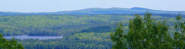
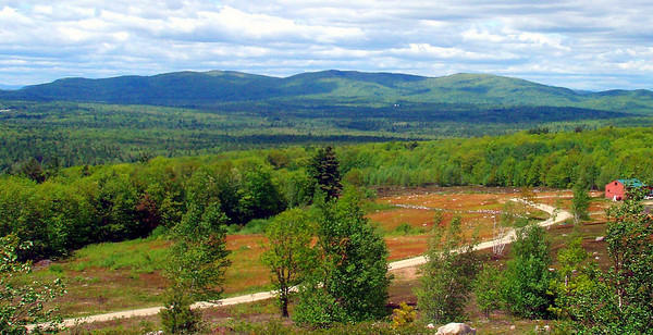
The dirt road off Teneriffe Rd. south to near the summit, shown on the topo map, leads to a house and is posted against motorized vehicles. About 100 yards before the house, look for a faint footpath to the left that takes you through blueberry fields to the summit ledges, where there were great views in all directions, including the Belknaps, 15 miles to the WNW, Blue Job to the SW, the Moose Mtns, 6 miles to the NNW:
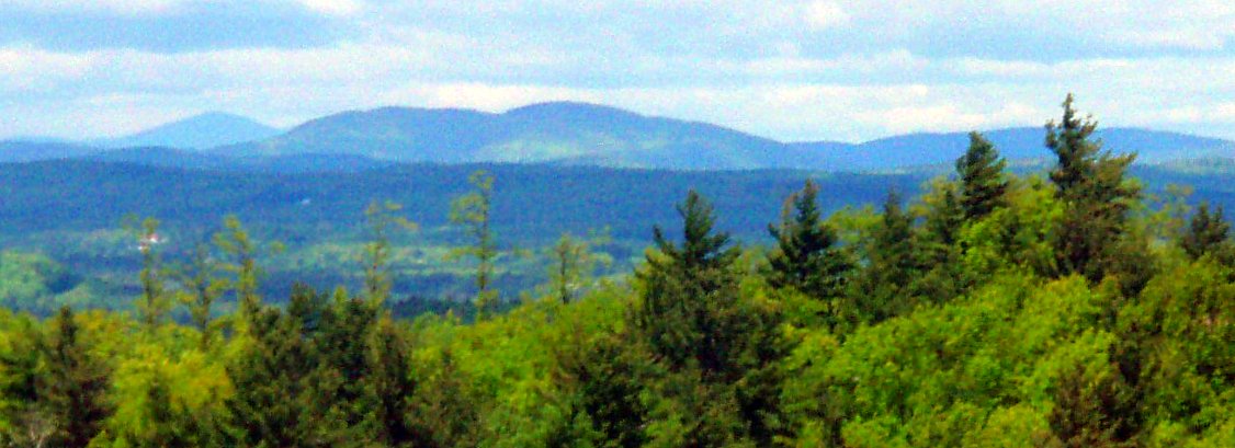
and Green Mtn., 22 miles to the north:
Watch out for ticks. They abounded. The rest of my pictures are here.
The dirt road off Teneriffe Rd. south to near the summit, shown on the topo map, leads to a house and is posted against motorized vehicles. About 100 yards before the house, look for a faint footpath to the left that takes you through blueberry fields to the summit ledges, where there were great views in all directions, including the Belknaps, 15 miles to the WNW, Blue Job to the SW, the Moose Mtns, 6 miles to the NNW:
and Green Mtn., 22 miles to the north:
Watch out for ticks. They abounded. The rest of my pictures are here.