suggestions - paddling in western Maine

vftt.org

Help Support vftt.org:

This site may earn a commission from merchant affiliate links, including eBay, Amazon, and others.

daxs

Active member
Joined
Sep 4, 2003
Messages
875
Reaction score
27
Location
On the beach Triavalon race
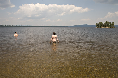
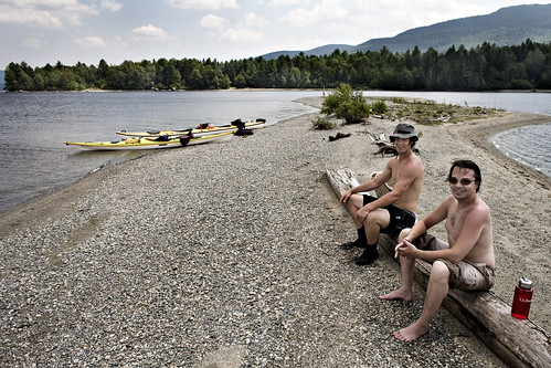
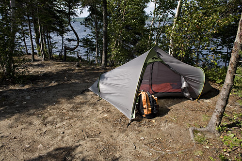
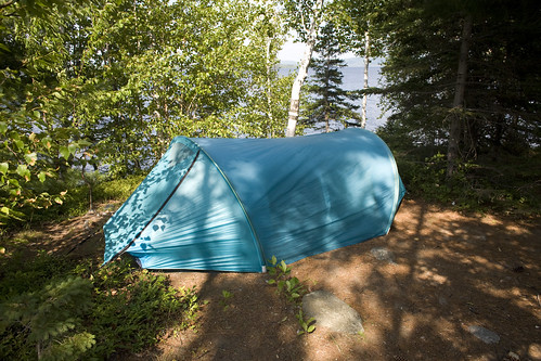
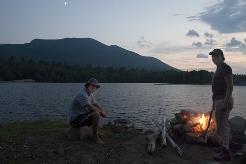
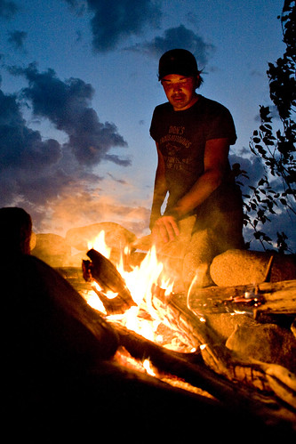
I will be in western Maine for 2 weeks in Sept. Plan on some paddling and hiking. I am looking for some suggestions for kayak camping. If you had to choose between Umbagog, Richardson, Mooselookmeguntic, Rangeley where would you paddle? Where you you recommend to put in?

What put in is suggested for Flagstaff? has anyone put in at the east end and camped by Safford Brook and then hiked the bigelows?

I have the Quiet Water Maine book and I am thinking about buying the North Forest Canoe Trail maps for these areas. Are these maps worth the purchase price? any recommendations for books/guides? Jim and I are both experienced kayakers and have done a bit of ocean/bay kayaking. Understand that these lakes and get windy and dangerous.

Oh yeah, a little off topic but if anyone has recommendations for mountain biking I would appreciate that info too.

Thanks carol
 
that campsite by Safford Brook is busy but looks really nice for paddling and also hiking the Bigelows... Ronnie and I did the Bigelows from Safford brook and jumped in Flagstaff lake afterwards. The lake seems pretty devoid of kayakers as you can see the lake from the summits. I think there is actually a launch closer to Stratton for Flagstaff lake but I gather you'd be able to launch from Round Barn I think.

If you go far western ME/NH, you can look at Umbagog too..

rangeley looked busy with motorboats but there is a launch right in downtown...

Jay
 
if the stars align

we will be going there this weekend. We plan on putting in somewhere around Stratton and then head all the way to the trailhead, hike the Bigelow, fish, and goof around in the water. :)
 
There is a put in on the stratton end of Flagastaff lake. It along the south shore. Its definitely a primitive put in spot and on occasion people will camp right in the middle of the put in area.

A few things to know about flagstaff, the maps were drawn at extremly high water. There is a passage from the main lake to the north lake down near the west end of the lake that doesnt exist. It looks tempting to make a loop of what looks to be a long island and you end up having to backtrack or do a long portage through a pine grove.

Flagstaff is very shallow with a lot of exposure to west winds, inevitably it like glass in the morning and has whitecaps and a strong wind in the afternoonm making it difficult to go back to stratton in the afternoon. (Richardson has the same characteristics from the boat launch off RT 16).

The boat launch on the east end of the lake (near the road to Safford Brook and the barn had absolutely no public parking. You are much better parking at the Barn launch, or going all the way down to the launch near the dam. There is also not a bad carry from the Maine Huts and Trails parking lot off long falls dam road. By the way the Maine Huts and Trails lodge is right on Flagstaff and would be a great place to paddle to and stay the night.

To get to Long Falls Dam road from Carrabassett, a private logging road is now open to the public that cuts out 40 plus miles out of a car spot.
 
Flagstaff

We just got done paddling on Umbagog, Mooselook... and Flagstaff this past spring, early summer.
Somewhat to our surprise we found Flagstaff to be our favorite.
The other lakes are nice including the Richardsons.

In a way you can't go wrong.
We use the NFCT maps on each trip I like em and they have extra info for interesting overviews of the area.

I wrote up a TR for Flagstaff a few weeks ago but haven't put it here as yet, mostly because I can't quite figure how to put pictures and text together...though I see most everyone else has it figured out ..oh well perhaps I'll give it another try sometime....

For Flagstaff we put in at Long Falls Dam and paddled east to west

for Mooselookmeguntic we put in at Stephen Phillips Preserve. I highly recommend them, nice campsites lots of Islands etc.

Water was rough at Mooselook... one day so we paddled over to take a look at Richardson and it was wild weather over there. I wonder if Richardsons have more of a wind funnel effect, perhaps they do.
 
Last edited:
To Peakbagger:

Is it safe to say that if we hugg the southern shore we will have enough water to make it to the trailhead?
 
Last edited:
We put in at Long Falls Dam picnic area and paddled into the wind towards Bigelow Lodge. The lake was lively at the final crossing. From the lodge we paddled up towards the trailhead and found a wonderful island to camp on with a giant fire ring and the best view of the mountain.

The rest of the day was spent gathering wood, picking blueberries, swimming, reading and eating. I practiced rolling and managed to break my paddle during one of the maneuvers.

4808007053_fe686d0c47.jpg


4808006537_6e75396935.jpg


4808627994_f95a3b9ef5.jpg


4808009343_8e51c06ec6.jpg


The day was windy and it was a perfect mix to blow the bugs away. Our island did not seem to attract any horse flies while we witnessed other campers on the mainland engulfed in clouds of horse flies. The windy beaches were bearable though...

4808630832_edda0dc521.jpg


4808632800_4d58244be5.jpg


4808011543_c938f775ab.jpg


The next day we headed up to Avery Peak. It was a great day to hike, climb the observation tower and check out the views.

The paddle back was a bit rough but nothing that a seakayak couldn't handle. The short interval chop was 2-3 feet for the crossing. It was surfing for the next third of the paddling and then surprisingly the wind shifted to blow from the North - North East so the final third of the paddle we had to deal with strong headwind.

Awesome weekend on the lake!
 
Top