Sandwich Dome: Flirting with Winter

vftt.org

Help Support vftt.org:

This site may earn a commission from merchant affiliate links, including eBay, Amazon, and others.

grouseking

Well-known member
Joined
Feb 20, 2005
Messages
2,023
Reaction score
272
Location
Lebanon, NH Avatar: Philosopher?
1061240446_9AUeo-L.jpg


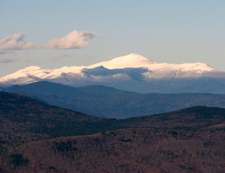
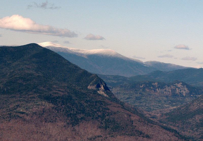
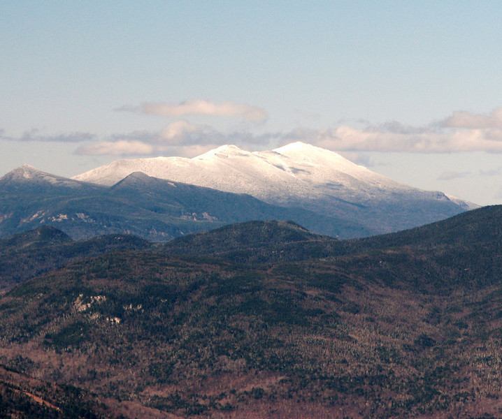
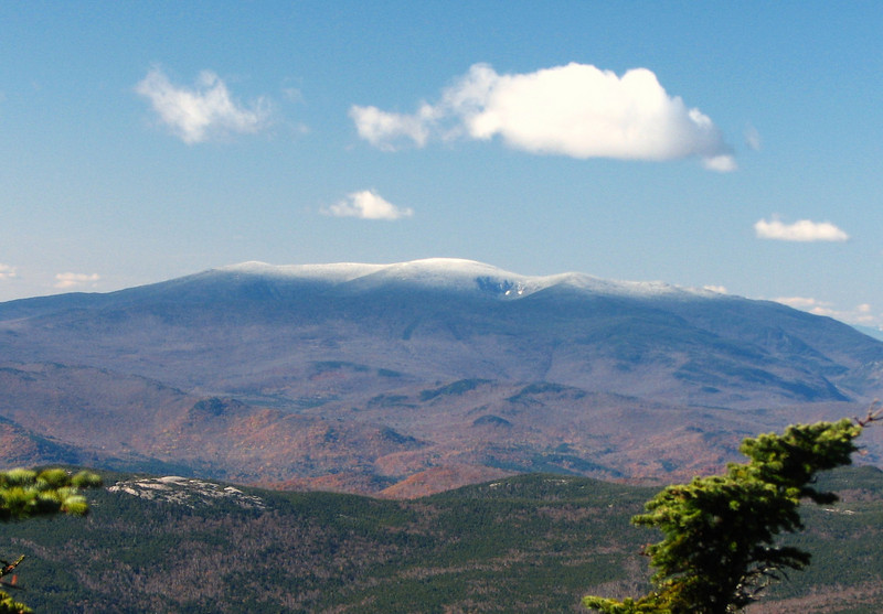
If that view of Mt Washington doesn't get you pumped for winter hiking, I don't know what will! Yesterday (10/23) I hiked up Sandwich Dome, and Jennings Peak on a quite cold and blustery day. The first cold day of the year is always a shock to the skin, and it stayed in the 30s the entire hike, except the upper 20s at the summit. As you will see in the pics, there was some ice and snow along the way. All it takes is a small dusting to freshen up the trail and make it look pretty. Our route was a pretty standard one...up Sandwich Mtn trail, down Drakes Brook, with the normal side trip over to Jennings Peak, which in my opinion, has better views from its two or three different outlooks than Sandwich. And now, without further ado, the visual section of the report.

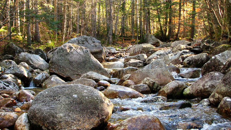
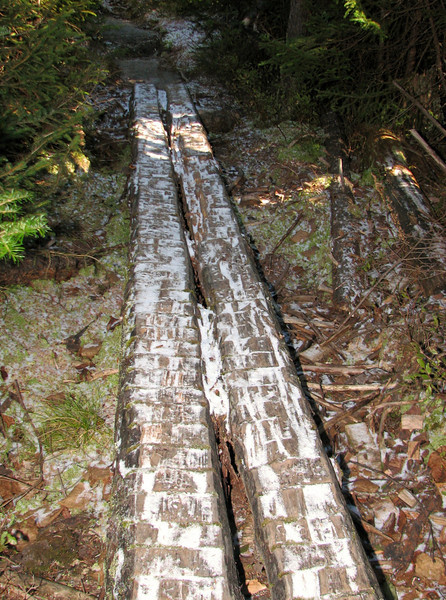
The somewhat wide, rocky and icy section of Drakes Brook. It was a fairly straight forward crossing when you crossed on rocks with some water over them. Other rocks had a thin coating of ice on them.
1061232659_gfyJb-L.jpg


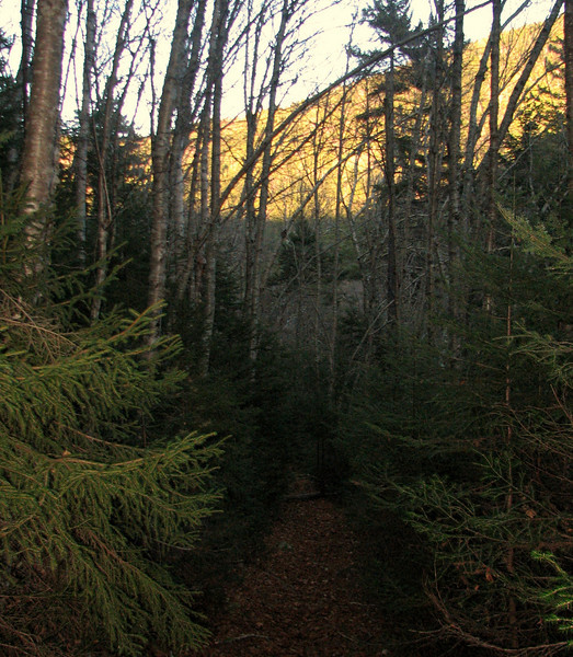
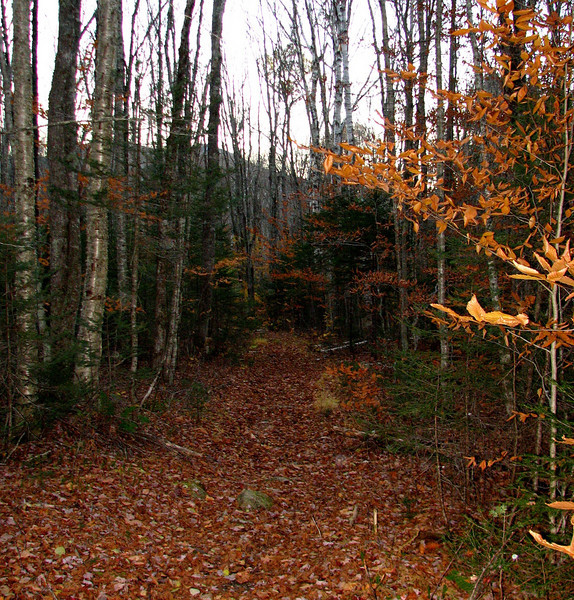
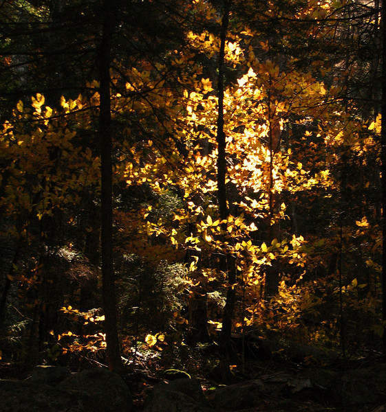
Down low, there was some leftover foliage...this is prob the end of the line for leaves
1061233052_GADzv-L.jpg


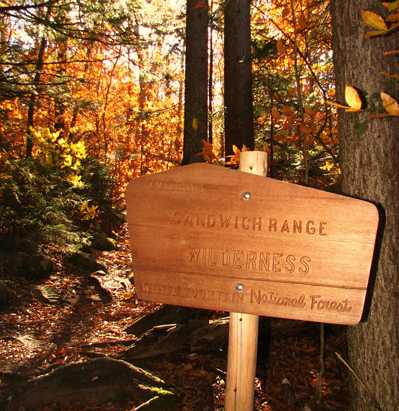
And now, into the wild!
1061233315_eWf9A-L.jpg


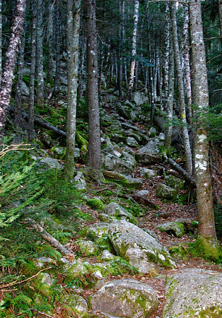
The Sandwich Mtn trail is fairly steep during its first two miles, and after the wilderness sign, it kicks into high gear and becomes almost overly steep. There are one or two sections, though short, that remind me of the steep section above the gem pool on the Ammy trail heading to Lakes. Of course this pic doesnt really tell the story, but since you are all hikers, you know what I'm talkin about.
1061233713_W3oFa-M.jpg


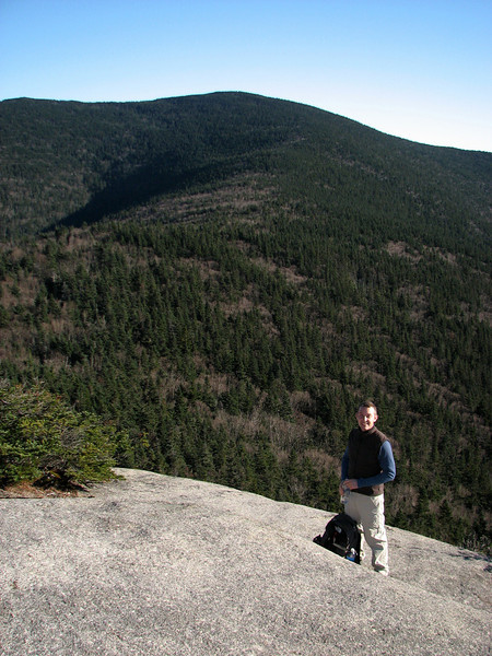
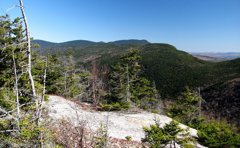
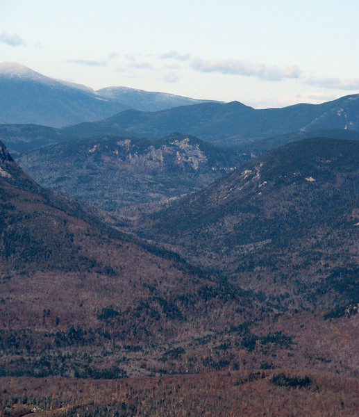
After some breaks, and methodical pushing up thru the steep stuff, we made it up to the views along Noon Peak.
1061235208_CVTz3-L.jpg


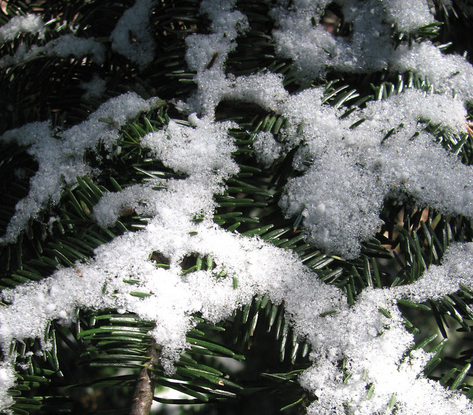
It was along this elevation that we came across our first "accumulation" of snow of the year. Not much, but it really helps to freshen up the trail.
1061235016_2XtEz-L.jpg


1061236704_NyXQU-L.jpg


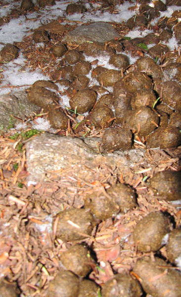
I tell you, this is SERIOUS business
1061235843_6eMSd-M.jpg


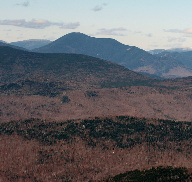
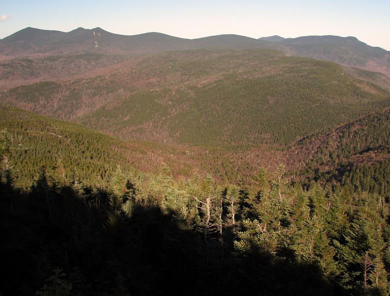
After some time, we made it to the summit, and were greeted to very distant views, beautiful skies, cold temps and colder wind chills.

Good afternoon, Franconia Ridge!
1061236889_etKb3-L.jpg


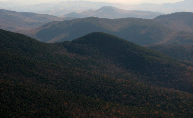
And you too, Moosilauke
1061237213_NqvAE-L.jpg


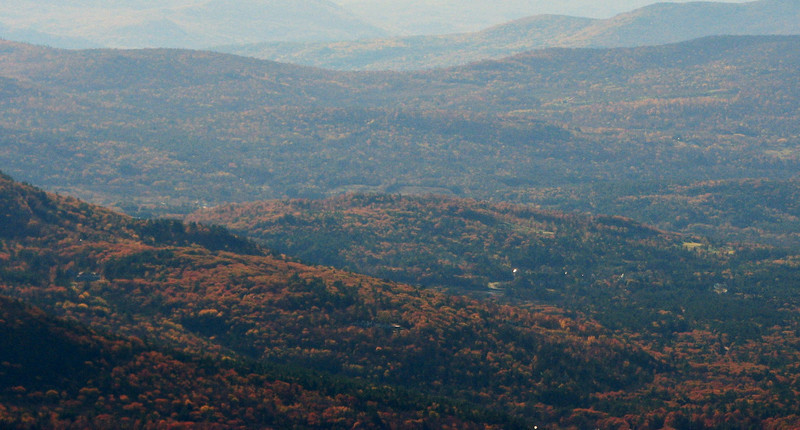
ANd to you, Mad River Notch
1061237126_UGD8P-L.jpg


cont in a minute
 
My fav 4000 footer, Carrigain
1061238013_xUFwv-L.jpg


This isnt the most focused picture in the world, but there is SOuth Twin in the back. But check out that rock structure on Osceola.
1061238240_aFYvN-L.jpg


After a few minutes, I realized that I recognized it, from when I got kind of up close and personal with it when I was on some trails in Waterville Valley. Its neat to have two different vantage points of it. I took this back in Nov of 2008, during lots of snow showers.
2860815550049158222S500x500Q85.jpg
[/URL][/IMG]

OK, time to head to Jennings Pk. We got pretty cold up there, and somewhat loopy...to the point where I thought it was necessary to take some model poop pics.
1061238580_fwT3M-L.jpg


Don't you dare judge me!

The bearer of poop, I swear!
1061238989_oDTgv-L.jpg


Ok, now at Jennings.
Look em up if you dont know. Shadows beginning
1061240543_y53Pg-L.jpg


Hazy, dirty, blue ridge mtn type view south
1061239985_3yUpR-L.jpg


Past Peak foliage
1061240150_bJhGa-L.jpg


Sandwich Dome
1061240322_HH57t-L.jpg


Time to head down. Light was failing and we wanted out before dark, due to a lack of headlamps.
Light rising fast
1061241477_f7cn5-L.jpg


something about this one reminds me of the Lincoln Woods trail
1061241776_gD2C5-L.jpg


We exited around 6:00 pm, with just enough light to spare to change clothes with total darkness. Hope you enjoyed the pics. This was definitely a top ten hike!

14335149_Fp2cQ
 
Nice tour.

A feature of hiking this area is its proximity to Livermore Trailhead. It's a short run and you can have a lighted shelter (aka plastic outhouse) in which to change. :rolleyes:
 
Nice tour.

A feature of hiking this area is its proximity to Livermore Trailhead. It's a short run and you can have a lighted shelter (aka plastic outhouse) in which to change. :rolleyes:

Ahh, shame I missed a lighted shelter. Oh well, outdoors in the parking lot worked well enough. Thankfully it was dark...ish. :eek:
 
Phil, as always, truly excellent!

Hey, regarding that rock/cliff on the side of Osceola that you show in a couple of your photos, you might already know this, but I think (could be wrong) that "Painted Cliff" is the name that's sometimes used for this spot.

Apparently, you & I had the same thought about hiking in the H2O-ville Valley this past weekend. On the same day as your hike, Zman & I were doing some exploring just a little to the west of where you were.

Ooh interesting, I didn't know that. It is such a crazy looking cliff, and you can see it so well from far away. And ooh, Dickey notch! How is the leftover trail doing through there? From what I remember, there is an abandoned trail, right? Thanks for posting that! Very nice.

grouseking
 
Top