
forestgnome
New member
BeccaM and I hiked a loop up the Algonquin Trail to Sandwich Dome, down the Black Mtn. Pond Trail, and out along the Guinea Pond Trail...
the very scenic Algonquin Trail first runs through a beautiful stand of beech...
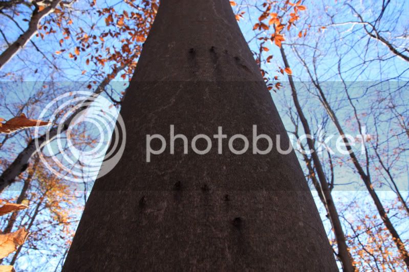
bear claw marks on a beech trunk, going for beech nuts...
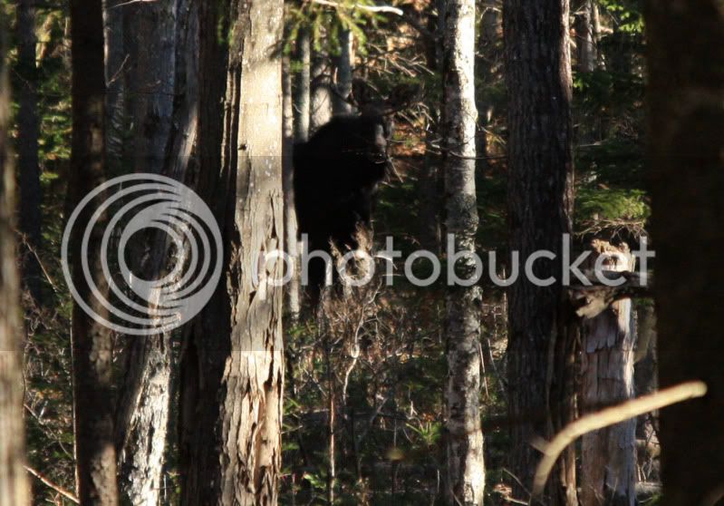
just above where the beech gives way to coniferous forest, we had the pleasure of spotting three moose.... two bulls and a cow were about 100' from the trail...we got to see them through the trees for a while until they trotted away.....very nice...
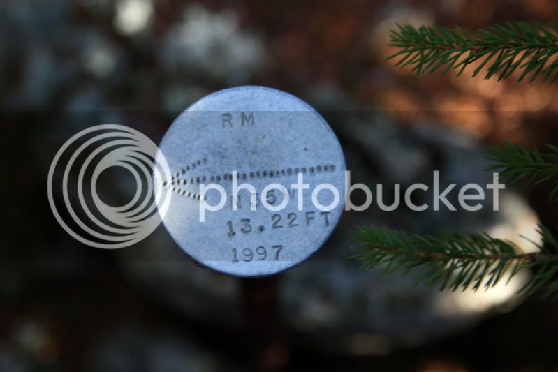
Becca wanted to go to the summit of Black Mtn., which is not far from the trail...so up we went. This marker is at the summit...can anyone translate exactly what is recorded here?
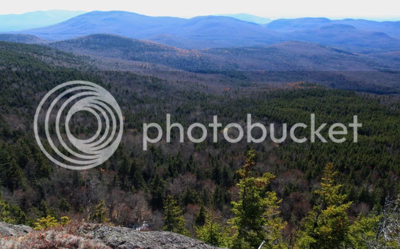
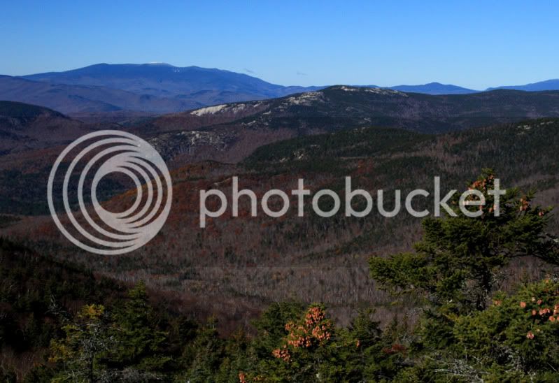
a view ledge near the summit has spectacular 180 views...
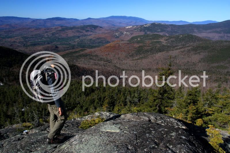
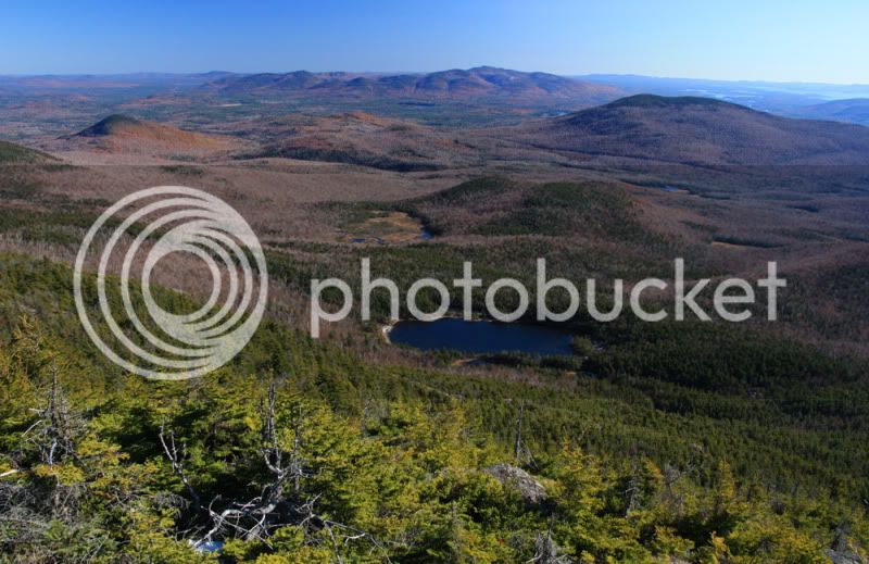
as the AT climbs above the saddle with Black Mtn., it runs over lots of ledge with endless views in most directions...
this view is across Welsh/Dicky to Mt. Moosilaukee...my favorite part is the patch of beech still holding onto autumn with those beautiful golden colors...
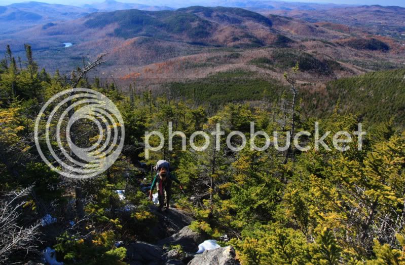
Becca had to go over to Sandwich Dome for her red lining thing...there is snow, with some foot-deep drifts, but not too bad right now. I showed Becca to spot moose hair on branches over moose trails; she spotted these right in the trail after I walked right past it without noticing....that hurt...
views from ledges along the Black Mtn. Trail...
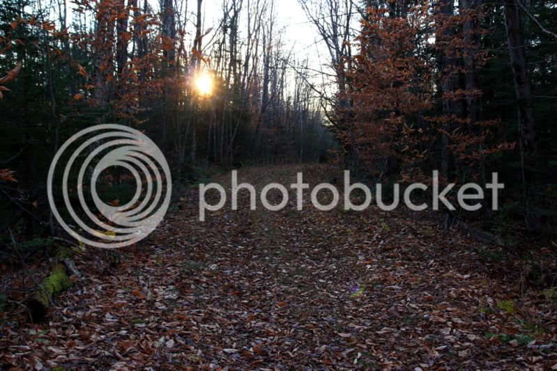
along the Guinea Pond Trail.....late afternoon on a beautiful late autumn day in the Sandwich Range....sweeeeeeet...
happy trails
the very scenic Algonquin Trail first runs through a beautiful stand of beech...
bear claw marks on a beech trunk, going for beech nuts...
just above where the beech gives way to coniferous forest, we had the pleasure of spotting three moose.... two bulls and a cow were about 100' from the trail...we got to see them through the trees for a while until they trotted away.....very nice...
Becca wanted to go to the summit of Black Mtn., which is not far from the trail...so up we went. This marker is at the summit...can anyone translate exactly what is recorded here?
a view ledge near the summit has spectacular 180 views...
as the AT climbs above the saddle with Black Mtn., it runs over lots of ledge with endless views in most directions...
this view is across Welsh/Dicky to Mt. Moosilaukee...my favorite part is the patch of beech still holding onto autumn with those beautiful golden colors...
Becca had to go over to Sandwich Dome for her red lining thing...there is snow, with some foot-deep drifts, but not too bad right now. I showed Becca to spot moose hair on branches over moose trails; she spotted these right in the trail after I walked right past it without noticing....that hurt...
views from ledges along the Black Mtn. Trail...
along the Guinea Pond Trail.....late afternoon on a beautiful late autumn day in the Sandwich Range....sweeeeeeet...
happy trails
Last edited:
")