
forestgnome
New member
The southern slopes of Bartlett Mtn. looked melted from Mt. Cranmore. I hiked up the Kearsarge Trail on Mt. Kearsarge North until I was near the elevation of the summit of Bartlett Mtn. Most of the southern slopes of Bartlett Mtn. are within the Merriman State Forest. There are no trails to or within this state forest. Sweet!!!
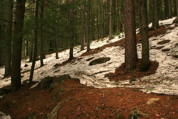
The Kearsarge Trail goes through beautiful old pines. This area is almost melted for the season.
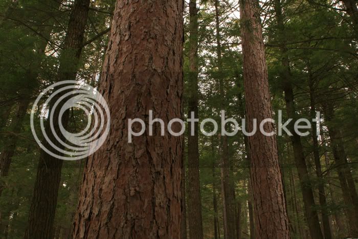
nice old red pines and hemlocks...
Once I hiked to an elevation that appeared to be as high as Bartlett Mtn. I left trail and made my way down a saddle to the brook, which was running heavy. The snow was still knee-deep near the drainage brook. I then began hiking toward the summit of Bartlett Mtn. I found the NF boundary, so I knew I was entering the Merriman State Forest. The snow was only ankle deep as I neared the summit. I was creeping along because there was a lot of deer sign and I was hoping to see some. Then, a snowshoe hare scared the bleep out of me. Why do they wait until I almost step on them to flush?!!! She was under a small hemlock shrub and darted out, and then stopped a few feet away on snow.
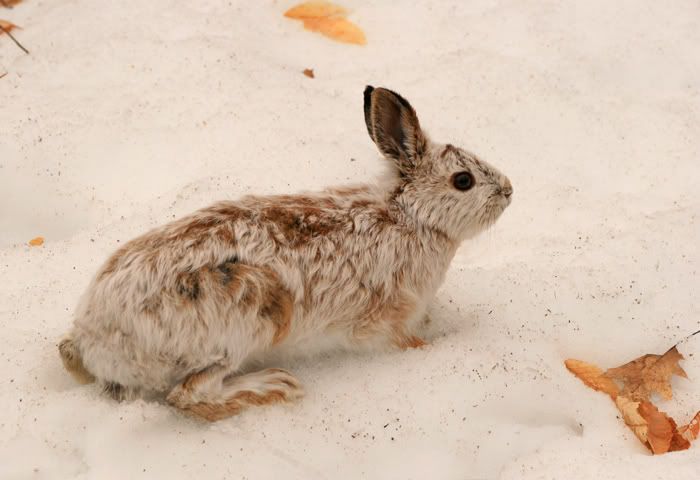
I think she wanted to blend in with snow, knowing she was still mostly white. Her coat shows the spring transition from winter-white to summer-brown.
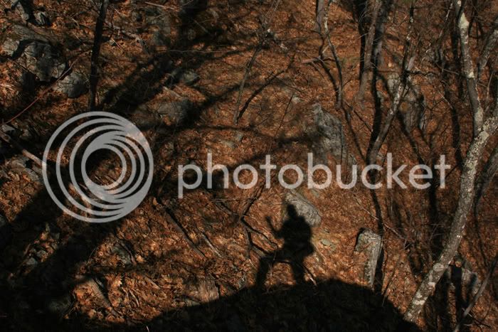
Soon, I was free of snow and near the top of Bartlett Mtn. Choirs of angels were singing...
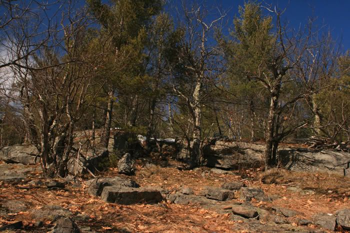
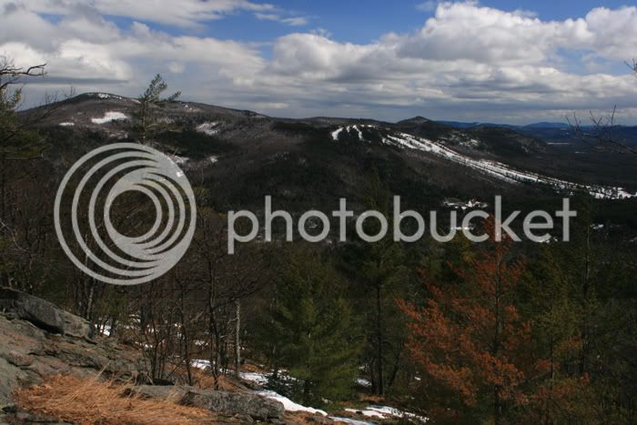
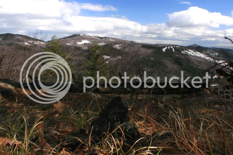
There are many open ledges on this slope, with views from Hurricane Mtn. and Cranmore Mtn., across the valley to the Moats...
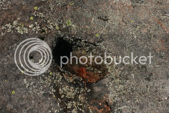
There are some glacial potholes, which tell the tale of ancient glaciers filling the valley during the last Ice Age. As the glorious Sun melted the glaciers, lakes formed on top of the glaciers. Water poured off the sides of the glaciers and pounded down on the bedrock, forming these potholes...
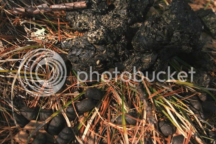
There are so many ledges with views to enjoy as you descend. The dark mound in the foreground is a huge bear dropping...
The bear actually dumped right on top of deer droppings. Check the contents; wonder where the bear found sunflower seeds
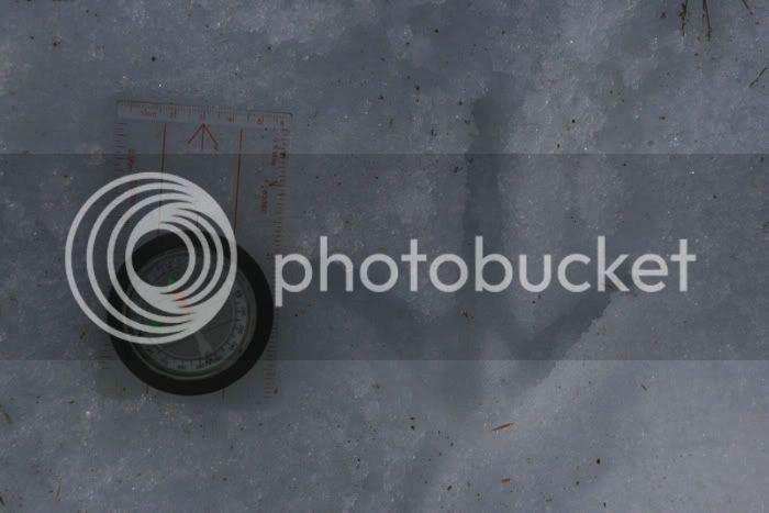
I decided to leave the endless ledges and explore the more flat ground to the east. As I looked down at it I heard some large animal moving through, but I never saw it...
I made huge zig-zags all the way down, enjoying the warm sunshine and snow-free hiking at last!!! I couldn't find that large animal. Toward the bottom there was more snow and tons of deer tracks and wild turkey tracks...
OK, it's gonna be alright. Spring is really happening. It's real. It's all good.
happy spring
The Kearsarge Trail goes through beautiful old pines. This area is almost melted for the season.
nice old red pines and hemlocks...
Once I hiked to an elevation that appeared to be as high as Bartlett Mtn. I left trail and made my way down a saddle to the brook, which was running heavy. The snow was still knee-deep near the drainage brook. I then began hiking toward the summit of Bartlett Mtn. I found the NF boundary, so I knew I was entering the Merriman State Forest. The snow was only ankle deep as I neared the summit. I was creeping along because there was a lot of deer sign and I was hoping to see some. Then, a snowshoe hare scared the bleep out of me. Why do they wait until I almost step on them to flush?!!! She was under a small hemlock shrub and darted out, and then stopped a few feet away on snow.
I think she wanted to blend in with snow, knowing she was still mostly white. Her coat shows the spring transition from winter-white to summer-brown.
Soon, I was free of snow and near the top of Bartlett Mtn. Choirs of angels were singing...
There are many open ledges on this slope, with views from Hurricane Mtn. and Cranmore Mtn., across the valley to the Moats...
There are some glacial potholes, which tell the tale of ancient glaciers filling the valley during the last Ice Age. As the glorious Sun melted the glaciers, lakes formed on top of the glaciers. Water poured off the sides of the glaciers and pounded down on the bedrock, forming these potholes...
There are so many ledges with views to enjoy as you descend. The dark mound in the foreground is a huge bear dropping...
The bear actually dumped right on top of deer droppings. Check the contents; wonder where the bear found sunflower seeds
I decided to leave the endless ledges and explore the more flat ground to the east. As I looked down at it I heard some large animal moving through, but I never saw it...
I made huge zig-zags all the way down, enjoying the warm sunshine and snow-free hiking at last!!! I couldn't find that large animal. Toward the bottom there was more snow and tons of deer tracks and wild turkey tracks...
OK, it's gonna be alright. Spring is really happening. It's real. It's all good.
happy spring
Last edited:
