panther on grace day

vftt.org

Help Support vftt.org:

This site may earn a commission from merchant affiliate links, including eBay, Amazon, and others.

Adk_dib

New member
Joined
Sep 19, 2003
Messages
720
Reaction score
26
Location
clinton, ny "avatar:Bailey"
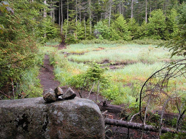
As far as I know I will be doing Panther solo from parking lot on grace day. the santanoni and couchie groups are camping overnight. I have a question on when the path turns up panther brook. I have a book that says that the trail starts after the pond and befroe the lean-to. So I dont get lost, where does it actually begin? Also, what is the status of panther brook. I will need to pump water somewhere and was wondering how dry it is. Can i climb halfway up before filling up or should I do it at the bottom. I will be leaving the parking lot at day break and crossing over to do Santanoni first so I can be at Panther between noon and 1 oclock. In case anyone wants to tag along.
 
The path start before the leanto on the Duck Hole via Bradley Pond path, 4 miles from the parking, look the picture. And it is very easy to follow.

Santanonis2666.jpg
 
Check out www.adirondackjourney.com for the start of the herdpath. I think someone recently mentioned that the cairn was gone but the sway-back rock is easily recognizable. While you will be past the pond when you turn onto the herdpath, you won't see it from the trail. The woods will be opening up at the start of a swamp, just a few hundred dreadful yards from the lean-to, and you will turn just before the swamp.

teejay
 
I'm sure it has been cut but when I did the Santinonis two years ago, there was a really large tree you had to crawl over just before the rock that Yvon posted. The diameter of the trunk must of been like 20" or so.. Even if the tree isn't to be climbed over now, you probably would be able to spot it along the trail.

Jay
 
George, it's pretty easy to see. The trail from the parking lot turns into the woods and continues a long and steady ascent. Before the turn off to Bradley Pond and Panther, you come down from the woods and into a more open area. The trail comes around to the right and the rock in Yvon's picture is further down on the left. The trail into the woods (as seen in his shot) is off to your left.

Once you top out on the Panther Brook trail (at a large rock referred to as Harold Square) you have decisions to make -- take a right and head up rather quickly to Panther's summit.

Have a fun hike.
 
I think that would be "Herald Square" unless perhaps a guy named Harold found it first :)

"Herald square" is kind of the first junction from the old herdpath you get to where Panther is to the right and to the left goes to Times Square which gets you to Couch. and Santinoni.. There were markings for Panther that somebody scralled on a rock there that said P and C/S or something obvious like that... The junction with Couch and Santinoni is usually referred to as "Times Square"

Jay
 
Hi Adk dib-

I'm signed up for Santnoni that day but I'm doing Couchsachraga first so we're bound to bump into each other...anyway... I was wondering....if you're going to do Santanoni first, would you go to it via the "new" old trail ? Then head over to Panther.

I haven't seen it laid out on a map yet but from all I hear, it would save you some hiking and make things simpler.

Just wondering....that's all.
 
Hikerdad said:
Bubba:
I've never heard of "Harold Square"....is that different than "Times Square"? Thanks,
Jay H said:
I think that would be "Herald Square" unless perhaps a guy named Harold found it first
Hikerdad - what Jay says is right and what's a couple letters in a word that sounds the same -- writing and thinking...

Times Square is the well known junction (and actually nearly a peak in itself as you keep coming back up to it!) The "Herald Square" denotation attempts to identify the first rock outcroping that many have mistaken for Times Square.

From Herald Square, left and around to the right finds Times Square OR heading up to the right takes you to Panther. Easy in Summer... not so easy in winter. ;)
 
This sketch of the place helped my friend and I navigate the Santis a few years ago. with the markings and stuff which may or may not have changed. I haven't been back there since..

Jay
 
Jay H said:
This sketch of the place helped my friend and I navigate the Santis a few years ago. with the markings and stuff which may or may not have changed. I haven't been back there since..

Jay

This sketch it is no good anymore.
I had it with me last month and the section where there is a knoll, this part is closed now. So when you arrive from th HP, to the right for Panther or to the left for Time Sqare.
 
the "new"/old trail to sant would save me some time but being solo and never been in there before I think I will stick to the old route. unless someone informs me that the new trail is easy to follow and well marked.
 
Adk_dib said:
the "new"/old trail to sant would save me some time but being solo and never been in there before I think I will stick to the old route. unless someone informs me that the new trail is easy to follow and well marked.

From what I understand once you find the start of the new old trail its pretty well defined all the way to Santanoni's Summit ;)
 
water

if you bring your pump you can wait to fill untill you get higher up the brook as to save weight..when you get to top of the brook, on the trees are carvings of directions of the peaks, this is harold square.
 
Jay H said:
I'm sure it has been cut but when I did the Santinonis two years ago, there was a really large tree you had to crawl over just before the rock that Yvon posted. The diameter of the trunk must of been like 20" or so.. Even if the tree isn't to be climbed over now, you probably would be able to spot it along the trail.

Jay

Just to confirm...yes, this tree has been cut and yes, the massive ruins of it are very conspicuous from the trail.

On the Panther Brook path I like to pump water at around 3500' where the path crosses back over from the left (south) side to the right. Sometimes there are dribs and drabs of water slightly higher up the path, but the crossover point is quite reliable.
 
Top