
grouseking
Well-known member
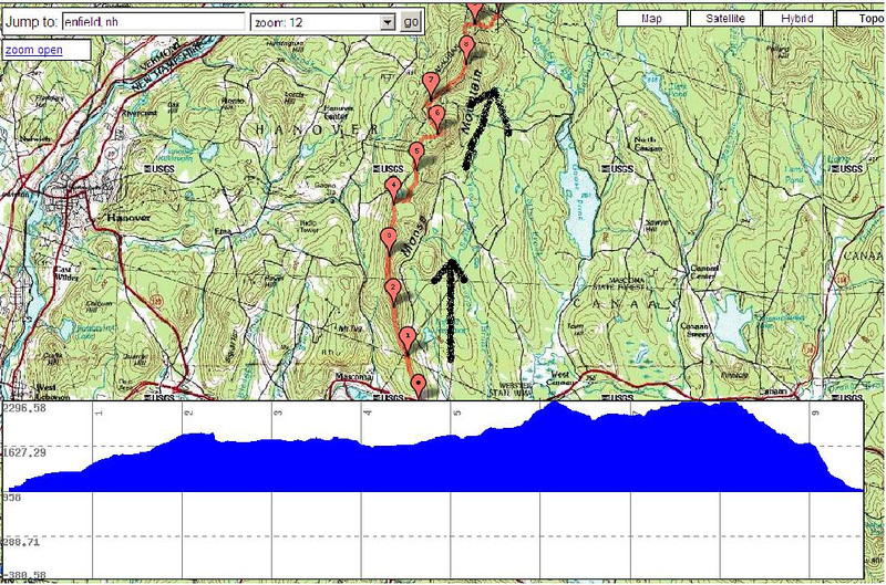
On Thursday, I decided to hike my new favorite local traverse...Moose Mtn, from Enfield, to the Hanover Lyme area on Goose Pond Rd. I believe it is about a 10-11 mile one way hike, which traverses about 5.5 miles of unmaintained trail, and 5.5 miles of AT. Considering the highest point on the trip is only about 2300 feet, there are lots of views. Here we go.
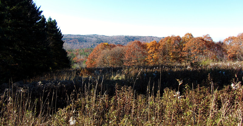
Past peak foliage at the beginning of the trip.
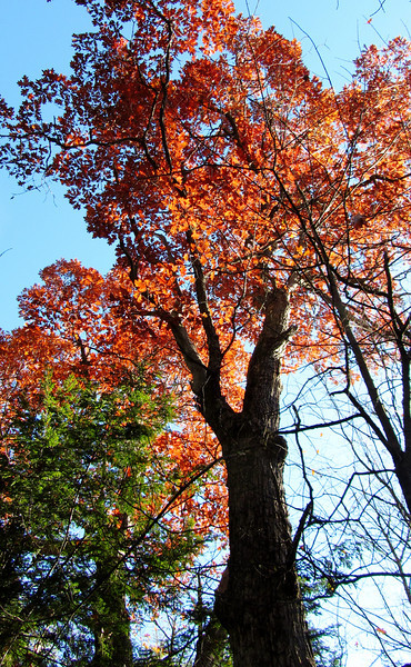
My fav tree of the day
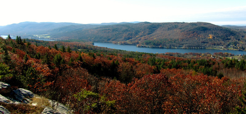
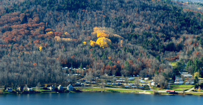
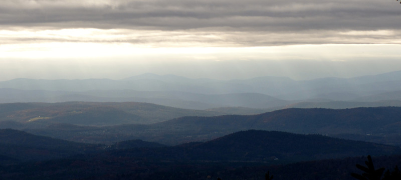
First views of the day..Mascoma Lake and Shaker Mtn in the distance
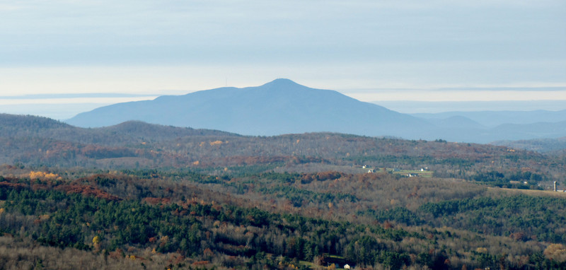
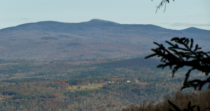
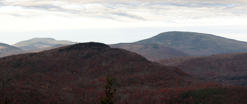
Zoom to Mt Ascutney
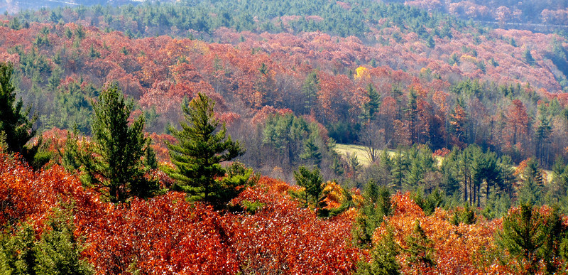
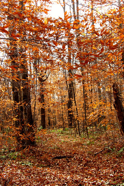
leftover foliage
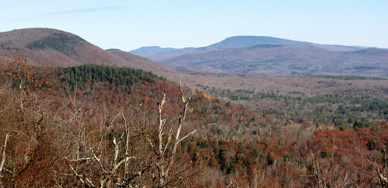
Off I went, slowly moving up in elevation on the southern ridges of Moose Mtn...these views are all below 2000 feet.
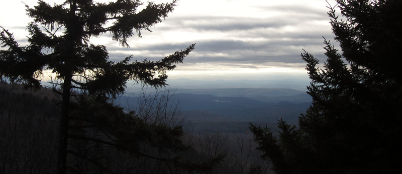
Looking north from some ledges
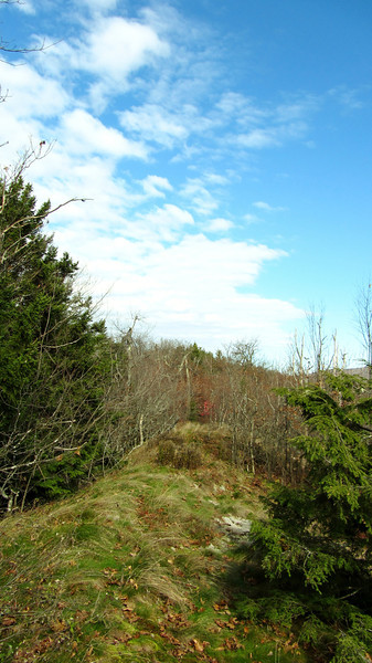
this gives an idea to what lots of the ledges were like....grassy!!
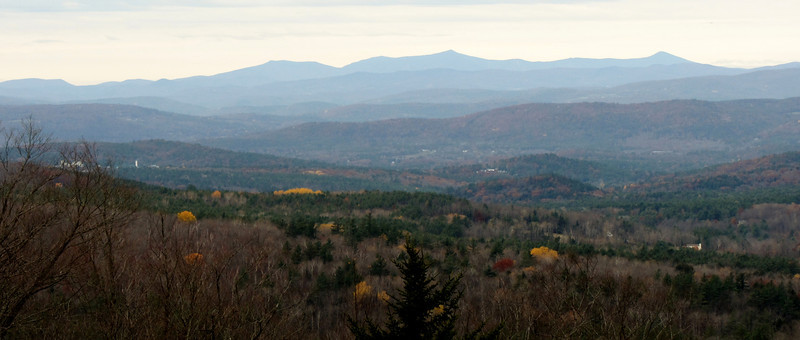
How about a view west? To Killington (zoom)
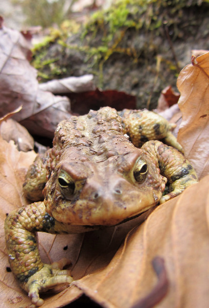
camera friendly toad
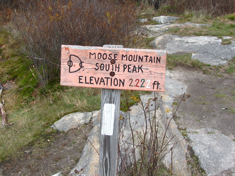
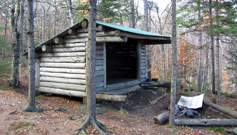
Almost to the AT
cont in a min
Past peak foliage at the beginning of the trip.
My fav tree of the day
First views of the day..Mascoma Lake and Shaker Mtn in the distance
Zoom to Mt Ascutney
leftover foliage
Off I went, slowly moving up in elevation on the southern ridges of Moose Mtn...these views are all below 2000 feet.
Looking north from some ledges
this gives an idea to what lots of the ledges were like....grassy!!
How about a view west? To Killington (zoom)
camera friendly toad
Almost to the AT
cont in a min
")