
Kevin Judy and Emma
Well-known member
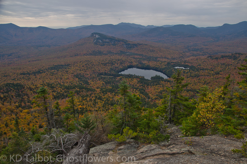
Sawyer Pond from Mount Tremont
Mount Tremont 3371'
Mount Tremont Trail
5.6 Miles 2600' Elevation gain
Kevin, Jude
Time had fogged the memory of the only other trip we ever made to Mount Tremont ten years ago so, it was time to return. We both racked our brains trying to remember anything about the hike. I remembered it was steep towards the summit and had a great view of the Sandwich Range and north to Carrigain Notch, with Sawyer Pond just below us. Neither of us could remember anything about the hike or the trail except we both laughed at the memory of having Jude's older brother along, always the unwitting comic relief. I'm sure this can be a very serious problem for some people if they are stung by a bee, or a yellow jacket, or whatever, but he thankfully was not allergic when he was stung on the way up the mountain. We laughed it off and kept hiking. On the descent we approached the spot where he had been stung, "Now this is right about where I got stung" he warned. Judy and I passed the spot first as we had on the way up. As soon as we had passed and he tried to as well, he was stung again. Running now trying to swat away the angry insects and shouting protests at them as though it would make them stop between his cries of genuine pain he managed to escape again. We laughed again. Yeah, that was all either one of us could remember as we reenacted the scene for some laughs along the trail.
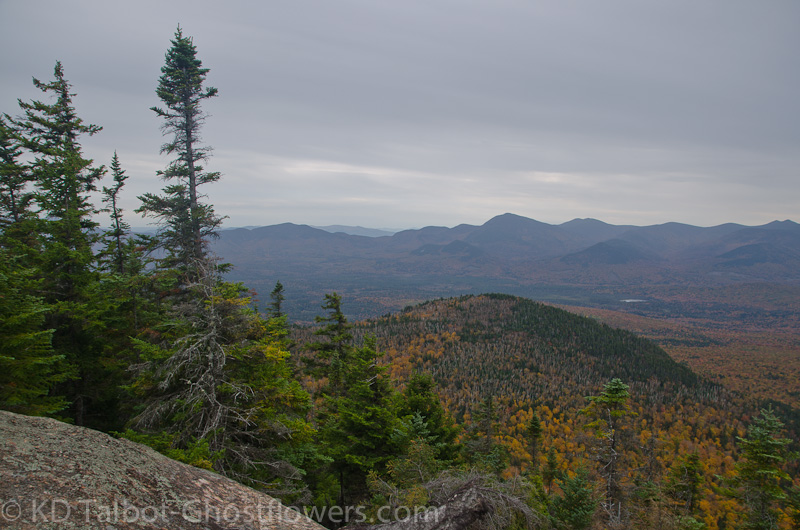
View Towards the Sandwich Range
Neither of us recalled that the trail followed the beautiful Stony Brook for a good ways before crossing it and climbing steeply to the summit. Jude said she thought there might be some switchbacks, we counted twenty six, all above the brook crossing, not to mention a number of zig-zags as well. The trail is a typical mess of roots and rocks, and the switchbacks do little to alleviate the steepness and only seem to me to drag out what could have been a more direct route. Ten weeks after surgery and not yet back in very good shape I found the last mile difficult. Each time I could see sky through the trees in front of me I was hoping it was the summit, but the trail would just switchback away from the ridge and back into the forest and onward towards the still higher summit. It began a damp drizzle as I began to find the constant switchbacks monotonous.
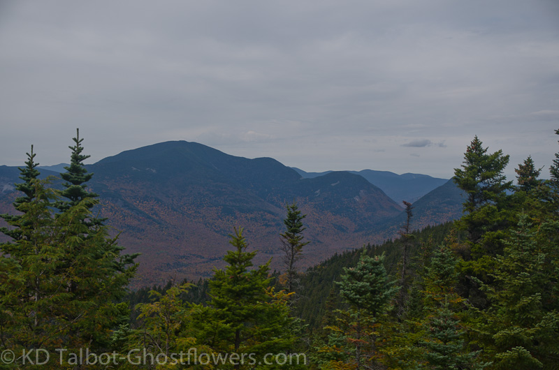
Carrigain and Carrigain Notch
I was feeling old and out of shape when we finally made the little scramble onto the ledge which overlooks Sawyer Pond. As I sat down for a well earned lunch I remembered why we do it as I gazed across the fall colors below us to the ridge of the Sandwich Range which dominated the horizon before us. Sawyer Pond below us reflected the pale, overcast sky above us. To the left and rising above Sawyer Pond was Green's Cliff, reminiscent of Middle Sugarloaf which we had hiked the evening before. From our spot we could see Chocorua to our south through the trees, further to Mount Roberts in the Ossipees, and clockwise Paugus, Wonalancet, Hedgehog and Potash below Passaconaway, Whiteface, East and West Sleeper, South, Middle and North Tripyramids, Sandwich Dome, Tecumseh, the Osceolas, Scaur Peak, Kancamagus, The Huntingtons, The Hancocks and to our north and through the trees The Captain, Carrigain, Carrigain Notch and Mount Lowell. Behind us through the trees we could see the summit of Mount Washington and Boott Spur. I took it slow and gentle on the descent as the trail was slick with damp leaves and hidden, wet roots. I have come so far already in my recovery I do not wish for any setback injuries. I'm certainly glad to be back out on the trail.
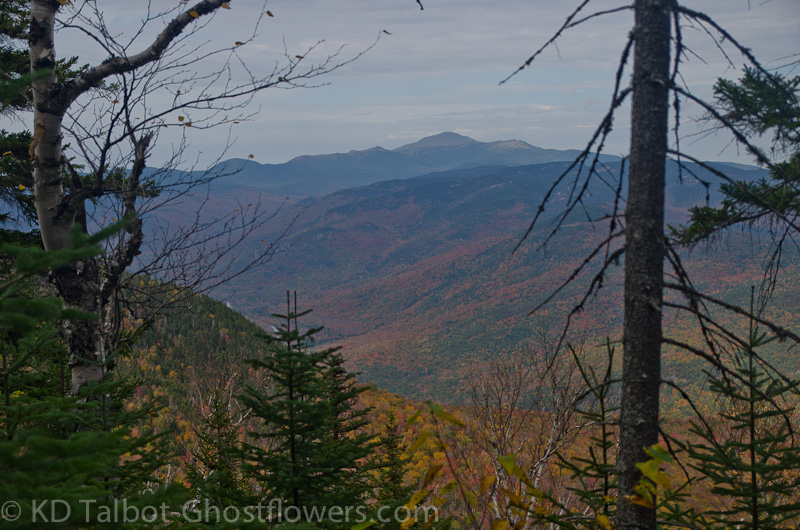
View of Mount Washington on the Descent
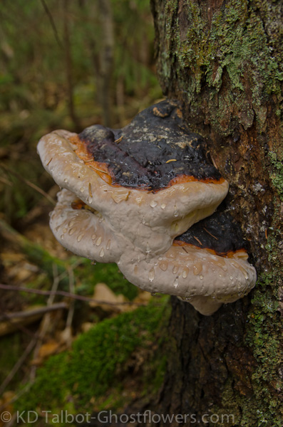
Artist's Fungus Ganoderma applanatum
Full set of pics HERE:
KDT