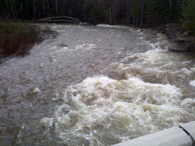
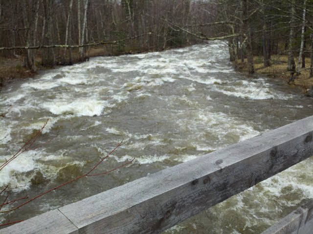
It's actually more interesting right now to look at the gage on the Wild River:
http://waterdata.usgs.gov/me/nwis/uv?site_no=01054200
Why? Because you can actually see the pattern of snowmelt as the river goes up during the warm days and back down during the cool nights.
1800cfs is definitely higher than summer's usual 150-200cfs on the Wild; however, it's still nowhere near a post-rain-event 5000cfs.