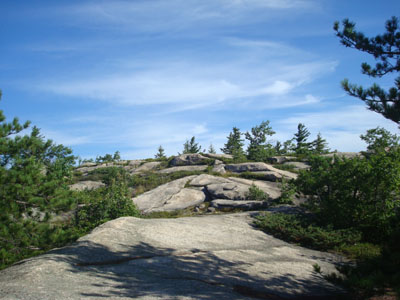
What do you know about the Ossipee mtn area?

vftt.org

Help Support vftt.org:

This site may earn a commission from merchant affiliate links, including eBay, Amazon, and others.

SAR-EMT40

Well-known member
Joined
Feb 26, 2004
Messages
1,355
Reaction score
177
Location
Eastern Connecticut Avata
The area includes Johnson Mt, Mt. Shaw, Mt. Roberts, Bayle Mt. Mt. Whittier, etc. It looks like it would be a great area to hike and maybe camp but I have no information on the area in any of my current books that I can remember. That area is encompassed by Rt. 25, Rt. 109, Rt. 171. Any hiking or camping information or references would be appreciated. Especially first hand info.

Thanks,
Keith
 
Probably no legal backpack camping

Get AMC Southern NH Trail Guide and map from lrtc.org

Subscribe to RocksOnTop.com and get involved in endless debates :)
 
Some useful resources:

The Trail Bandit Ossipee Mountains Map - Covers hiking trails and roads throughout the range.

The Ossipee 10 - 10 recommended peaks in the Ossipee Range.


I'm not aware of any area in which camping is officially available in the range (the Castle in the Clouds trails on the west side close at sunset). There are numerous campgrounds at the foot of the range. There are various old shelters throughout the range.

For short hikes, I like to do Bayle Mountain, Sentinel Mountain, and Bald Knob. There are now trails blazed that allow for very long loop and traverse hikes throughout the range.

Though just shy of 3,000 feet in elevation, Mt. Shaw offers a hike just as challenging as quite a few of the 4,000 footers - and without the crowds.
 
Thanks guys. I knew at least some of you would know about the place.

Great info to start with and in less than an hour.

This is such a cool site because of the people. ;)
Keith
 
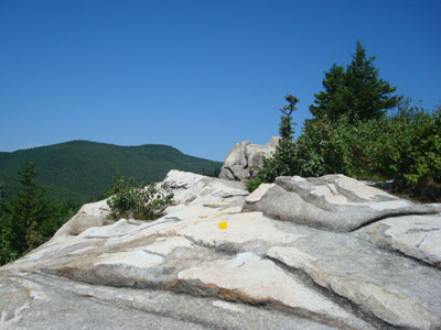
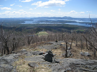
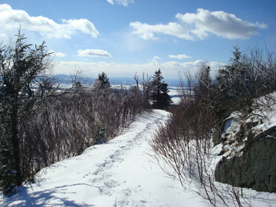
A few random shots:

mtflaggtrail-2008-0726a.jpg

Mt. Flagg

baldknobsummit-2007-1119b.jpg

Bald Knob

mtrobertstrail-2007-0506a.jpg

Mt. Roberts

blacksnoottrail-2008-0120a.jpg

Black Snoot

baylemtntrail-2008-0810a.jpg

Bayle Mountain
 
Funny you should ask. Some hints of what the range is like.

Shaw - http://www.vftt.org/forums/showthread.php?t=24602

Brook Walk, etc - http://www.vftt.org/forums/showthread.php?t=23790
(also added info here - http://www.rocksontop.com/phpbb2/viewtopic.php?p=43306&highlight=#43306)

Roberts - http://www.vftt.org/forums/showthread.php?t=16153

This was a fun thread - http://www.rocksontop.com/phpbb2/viewtopic.php?t=4565&postdays=0&postorder=asc&start=0

And more - http://www.rocksontop.com/phpbb2/viewtopic.php?t=4561&postdays=0&postorder=asc&start=0

RoySwkr said:
Subscribe to RocksOnTop.com and get involved in endless debates :)
And I thought they were just friendly discussions. :D
 
I'm getting a web page not found error when I try to download the map. Is it working for others?
 
Just my 2 cents...

Mount Shaw is a must do. It is one of those mountains with tremendous views for little effort. The whole of the White Mountains seem to be laid out in front of you to the north. Well worth the trip.

I understand a few of the others in this range have equally as good views, though I haven't been to them.

KDT
 
Quietman said:
I'm getting a web page not found error when I try to download the map. Is it working for others?

That's because I'm an idiot. Try again :)

Kevin said:
Mount Shaw is a must do. It is one of those mountains with tremendous views for little effort. The whole of the White Mountains seem to be laid out in front of you to the north. Well worth the trip.

I understand a few of the others in this range have equally as good views, though I haven't been to them.

The loop up Mt. Flagg, over Shaw and Black Snoot, and down Big Ball is one of the most scenic hikes in the entire Lakes Region - check it out next time you hike Shaw!
 
Trail Bandit and Mary (who post on RoT but not here, I think) have been very intrepid over the years, but especially this year, in exploring some of the more obscure corners of this great little range. rocket21, carole and I have either joined them on a few or benefitted from their information. These explorations will continue.
 
I don't want to rain on anyone's parade, or start a hiker/hunter range war, etc., etc. Just a friendly reminder that:

(1) Hunting seasons are starting up in NH;

(2) Hunters are probably not expecting very many hikers in the Ossipees, given the relative obscurity of the locale among the latter until very recently; and

(3) it would be a very good idea to make yourself conspicuous starting now if you're among the latter.

Hunting accidents do not occur only when the hunter negligently fires at a human thinking it's a game animal. They can also occur when a shot carries a distance and strikes someone that the hunter does not know about.
 
sardog1 said:
Hunting accidents do not occur only when the hunter negligently fires at a human thinking it's a game animal. They can also occur when a shot carries a distance and strikes someone that the hunter does not know about.

Point well taken. I've been hiking in that general area of central NH/SW Maine since '89, and have found the risk to be greater when deer/rifle season begins, later in the Fall, but bear-hunting and other earlier seasons seem to be picking up, maybe a little. I've never found it difficult to make myself conspicuous - rather the opposite. :) I have plenty of orange and usually wear it even in summer whenever I'm hiking someplace not primarily known for hiking. If I hear gunshots, I also reconsider my course.
 
Top