Colorado 2010 – The San Juan Mountain Range (many inline pics)

vftt.org

Help Support vftt.org:

This site may earn a commission from merchant affiliate links, including eBay, Amazon, and others.

Craig

New member
Joined
Apr 16, 2008
Messages
670
Reaction score
130
Location
Manchester, NH
The San Juan range, in the southwest corner of the state, houses some of the most reclusive 14ers in Colorado. Most cannot be seen from any road and access to the base of these mountains is time consuming. The hot dry southwestern winds coming in from Utah, Arizona and New Mexico typically hit the San Juan Mountains first creating particularly unpredictable and severe weather at higher elevations. This years monsoon season created more severe weather than most years threaten to derail my plans.

In the San Juan Mountains there are 14 – 14ers, and that was the goal of this year’s trip.
 
San Luis Peak

San Luis Peak - 14,014'

IMGP0085.jpg


After flying into Denver, picking up my mobile hotel and stopping to get a few supplies I drove directly for San Luis. It was late in the afternoon when I arrived at the access road to the base of the mountain.

DSC_0003.jpg
20100807-DSC_0009.jpg


I drove about 10 miles and found a nice area to camp for the night. The next morning I awoke to great weather and drove the additional 5 miles to the TH.

From the TH you climb through a beautifully lush valley on your way to the base of the mountain.

IMGP0077.jpg
IMGP0078.jpg


There was only one other person signed in this morning and he had left 1 hour before me. I was traveling quietly hoping to see some wildlife but none would make their presents known.

IMGP0080.jpg


The upper end of the valley, as I broke treeline, remained lush with alpine flora.

IMGP0097.jpg
IMGP0084.jpg


Although this peak was an "easy" peak, the views from the top did not disappoint.

IMGP0093.jpg
IMGP0094.jpg


The return to the TH was uneventful and afforded great views of the valley.

IMGP0096.jpg
 
Handies Peak

Handies Peak - 14,048'

IMGP0105.jpg


From the TH, the path climbs sharply through beautiful birch trees and cascading water.

IMGP0100.jpg
IMGP0101.jpg


The alpine zone was fairly lush, not a barren desert of rock and scree as is the case on many 14ers.

IMGP0107.jpg
IMGP0110.jpg


The final climb to the summit was steep with loose gravel and scree. The switchbacks in this section have been cut across creating quite a bit of erosion to the area.
Luckily the low cloud cover cleared in time for my arrival and I was treated to some more sweet views.
While on the summit a group of Outward Bound students showed up. They were on day 28 of a 30 course. At this point they were looking forward to civilization again.

IMGP0112.jpg
IMGP0114.jpg


On the climb down a marmot jumping onto the trail about 30' in front of me. I stopped and watched him for a minute. He grew impatient with me not engaging him so he moved closer and sat sideways in the trail. I spoke to him and compassionately told him I could not feed him. This young fellow would not take no for an answer and walked right up to me. He stood in front of me about 3' away his long nails a reminder that although habituated to some degree, he's still an animal that could FYU. I continue to apologized for not feeding him and after a long conversation I stepped off the trail and walk around him hoping he wasn't pissed off. I've never had a wild animal do that before.

IMGP0121.jpg


IMGP0122.jpg
IMGP0123.jpg


Thankfully he didn't attack and I was able to enjoy the views on my leisurely stroll back to the TH.

IMGP0124.jpg
 
Last edited:
Redcloud & Sunshine

Redcloud Peak and Sunshine Peak - 14,034 & 14,001

IMGP0141.jpg


Redcloud / Sunshine shares the same TH with Handies. The access road to this TH is about 15 miles long (IIRC) with great scenery and an old mining commuity that was abandoned at the turn of the century. The TH has a couple of historic mining buildings that remained relatively intact.

The climb from the TH to Redcloud was a nice gradual well maintained trail that weaved it's way through the hills hiding Redcloud & Sunshine from view.

IMGP0133.jpg
IMGP0134.jpg


In the shaded areas there was still some snow but for the most part area was dry and well protected from the wind.

IMGP0136.jpg
IMGP0139.jpg


The weather held nicely for the final push up to Redcloud.

IMGP0142.jpg


On the summit of Redcloud I had a snack and spoke with a young couple that I'd passed on the climb.

IMGP0147.jpg
IMGP0148.jpg


The cloud cover was lowering so it was time to move on to Sunshine. The ridge between the 2 is an easily walk but I didn't know if I would be retracing my steps back over Redcloud for the descent or going down the seldom traveled west face.

IMGP0149.jpg


Just after I arrived on Sunshine the cloud cover encompassed a half dozen of us and views were no longer.

IMGP0152.jpg
IMGP0153.jpg


Within about 10 minutes the young couple I spoke to on Redcloud, stumbled onto the summit and announced that the man was diabetic and had low blood sugar. He collapsed on the ground asking for food saying he had run out. I gave him my last pop tart (the only food I had left) as everyone else watched, offering nothing. Within 5 minutes he had perked up and said he was good to go.

Unfortunately by this time the cloud covered had lower to encompass the entire mountain. The west face Sunshine is untrailed and guarded with a nasty cliff band that reportedly only had one (reasonable) gully down through it. Visibility was about 20' and I hesitated while gauging my probability of success. I announce my plans to those on the summit and one young fellow said, if I went he would go. He seemed like an articulate strapping young man so why not. The rest of the crowd wished us luck and said they would head back over Redcloud and retrace their steps.

The descent of the West Face was a nightmare of wet talus that would constantly move under foot. Fortunately, when I arrived on the summit I had about 5 minutes of clear weather to visually scout the face and pick the location of what I thought was the gully entrance. But with the low visibility, no matter what direction you head in all you can tell is you're going down. Slight variations in direction aren't ready apparent without site of distance.

We slowly made out way down when mercifully about 400' vertical above the cliff band the cloud cover lifted and the entire cliff band was in view. In the distance we saw a line of cairns that beckoned us. Soon we were at the top of the gully. While the gully down-climb was sketchy, we were soon below the cliffs enjoying a nice whack back to the main trail.

IMGP0156.jpg
 
Uncompaghe Peak

Uncompaghe Peak - 14,309' (pronoused un-compadre)

IMGP0162.jpg


The path from the TH to the base of "Uncom" is nicely maintained through alpine meadows. This day there were 4 FS rangers doing status surveys on the alpine plants.

IMGP0158.jpg
IMGP0159.jpg


The trail follows the abrupt cliff line that flanks its west face.

IMGP0175.jpg
IMGP0164.jpg


The final push up the summit cone was on a well built trail that switchbacked and showed very little sign of erosion.
The summit plateau is relatively flat and the views were outstanding.

IMGP0173.jpg


IMGP0169.jpg
IMGP0171.jpg


Although during the climb up I didn't see anyone on the trail, coming down I probably passed a couple of dozen folks. This included a guy I had met on Sunshine the day before. He indicated he was doing the 14ers in 30 days.
 
Wetterhorn & (UN13,330)

Wetterhorn Peak & Unnamed 13,330 Peak - 14,015' & 13,330'

IMGP0182.jpg
IMGP0184.jpg


I wanted to get at least one untrailed 13er on this trip and UN13330 fit the bill. It was close by Wetterhorn and allowed for a day of "the rode less traveled".

Arriving late in the afternoon I found a good spot for the night. The view from the veranda of hotel Tahoe wasn't bad at all.

From the TH I started off on the trail to Wetterhorn. At the first ridge I went left and followed the drainage on the west side of the ridge. Shortly this drainage open up and I was in alpine terrain.

IMGP0180.jpg
IMGP0181.jpg


I followed the drainage toward the base of the cliff band and headed west toward the south side of UN13330. I had no beta on this peak and base upon the map this seemed like the most likely ascent side. This slope indeed proved to be a excellent choice with only a 200' cliff problem at about 13K'.

IMGP0186.jpg
IMGP0188.jpg


Once the cliff was overcome it was a walk over to the cairn and register. The register was placed there by Gerry Roche in 08 and had only been visited 6 times. The views from 13,300 were still pretty good although the weather was moving in.

IMGP0190.jpg
IMGP0191.jpg


I didn't waste any time on the summit of this peak as my real goal was still a 2-3 hours alpine whack away. I wasn't even sure if the route I had selected could be navigated as the cliffs in this area are not well defined on any maps.
I down-climbed un13330 and headed east toward Wetterhorn which is the abrupt peak toward the left of the picture.

IMGP0189.jpg


About an hour into my whack and above the band of cliffs it started to hail with thunder and lightning. Totally exposed and nowhere to hide I put on my poncho, sat on my pack and hunkered down for the storm. The wind was blowing and the hail was stinging. The clouds were above me and although I could see the flashes from lightning I couldn't see the lightning itself. After about 15 minutes the storm passed and I continued on with a new sense of urgency. The sky didn't look like it was through with me yet.

Another hour of whacking and I was on the trail at the base of Wetterhorn.

IMGP0193.jpg


Alas during the final push to the summit the cloud cover lowered and once again engulfed me in a blanket of white. I didn't stay long on this one as now I couldn't see the impending storm. I worked my way down and finally was in the clear again. During my walk down I could hear the sounds of sheep in the background. It wasn't just a couple that was making this racket. As I got down further I could see hundreds if not thousands of sheep feeding in the alpine meadows. These were domestic sheep as they were branded with paint. Just about this time it started to hail again and continued until I reached hotel Tahoe.

IMGP0200.jpg
IMGP0199.jpg
 
Last edited:
Mt Sneffels

Mt Sneffels - 14,150'

I don't have a picture of Sneffels from a far but this picture gives a good indication of what it was like. It was a tough, nasty, slug-fest with this mountain.

IMGP0206.jpg


The access road to Wetterhorn was somewhat of a harrowing ride. This shelf road was originally cut into the side of this gully by miners looking for their fortune. Apparently some found it as there is still an active mine in these mountains.

The views from the summit of this 14er were better than most. The climb up and down was another story. It was probably 2500' vertical of 45 degree talus. To top it off there was a lady that took a dog halfway up the talus slope and stopped. She sat there while the dog barked nonstop the entire climb.

IMGP0207.jpg
IMGP0220.jpg


Once on the summit I couldn't hear the dog anymore and the view were fantastic.

IMGP0219.jpg


IMGP0217.jpg
IMGP0211.jpg


IMGP0216.jpg
IMGP0215.jpg
 
Wilson Peak, Mt Wilson & El Deinte

Wilson Peak, Mt Wilson & El Deinte - 14,017', 14,246', 14,159'

IMGP0241.jpg
IMGP0245.jpg


A few hardy folks will do these peaks as a day hike but I decided to do them in 2 days.
The hike to Navajo Basin was through lush meadows and steep forested trails.

IMGP0230.jpg
IMGP0287.jpg


I packed in passed Navajo Basin and continued on up to the upper basin where I set up camp.

IMGP0286.jpg
IMGP0235.jpg


I stashed my food the best I could, put on my summit pack and headed for Wilson Peak. The first half of the climb from the upper basin to Wilson Peak was relatively mellow. From the col above the upper basin to Wilson Peak itself was a bit of a scramble.

IMGP0239.jpg
IMGP0243.jpg


Once on the summit it was time to relax and enjoy the days accomplishments.

IMGP0254.jpg


IMGP0248.jpg
IMGP0250.jpg


The only thing left was to study tomorrows objective and contemplate the Mt. Wilson / El Deinte ridge traverse with it's coxcomb. One of the 4 great 14er traverses.

IMGP0245.jpg


Continued
 
Last edited:
Wilson Peak, Mt Wilson & El Deinte - Continued

I woke the next morning to overcast skies that didn't look inviting.

IMGP0261.jpg
IMGP0262.jpg


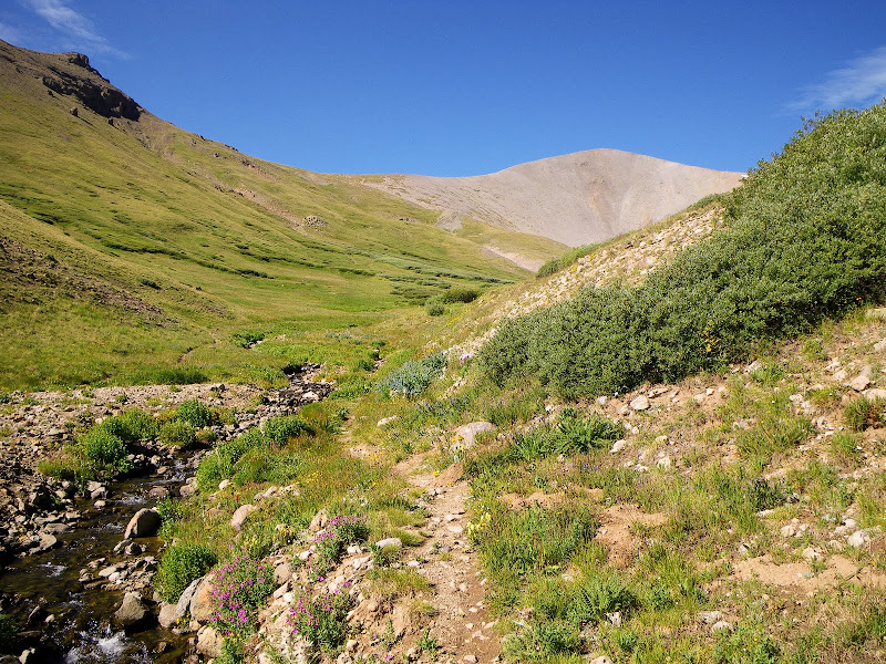
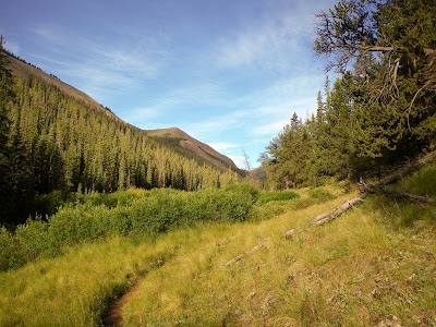
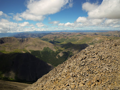
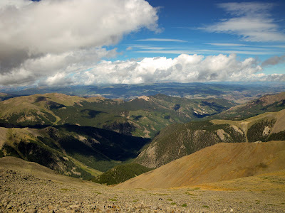
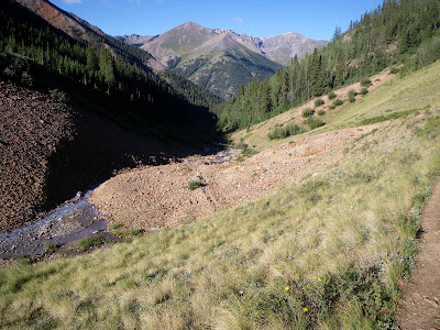
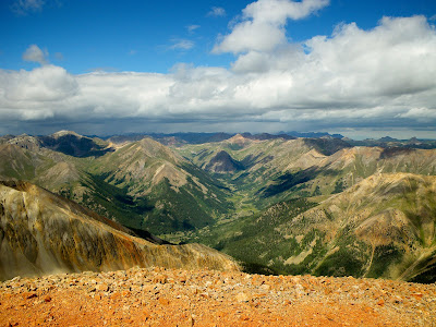
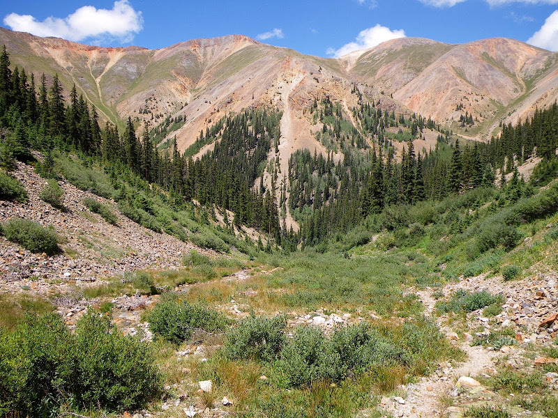
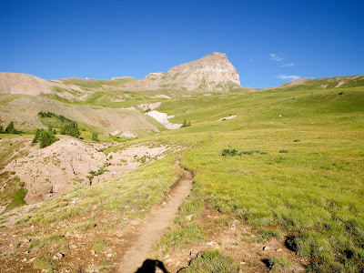
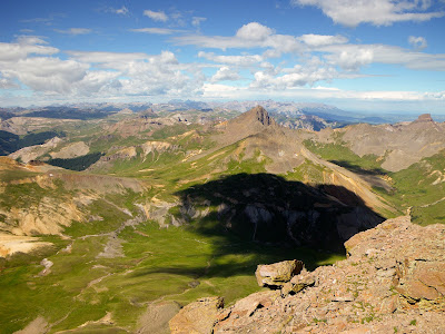
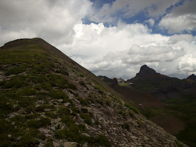
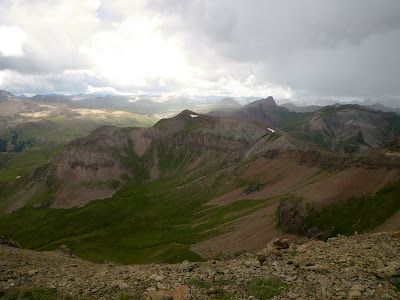
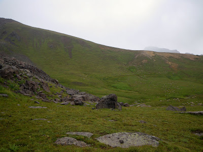
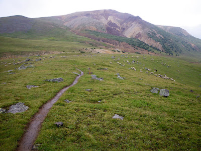
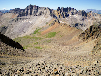
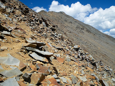
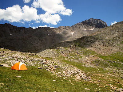
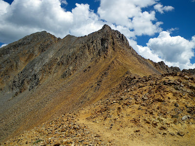
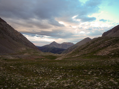
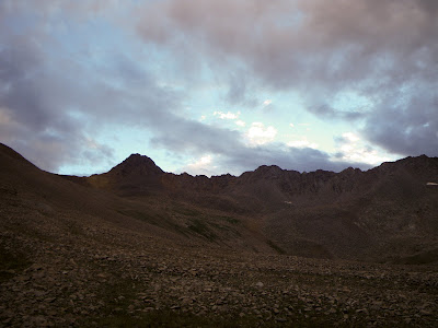
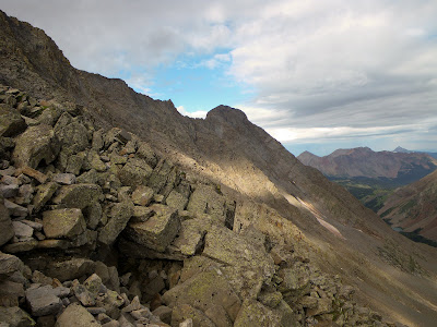
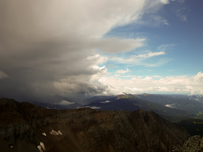
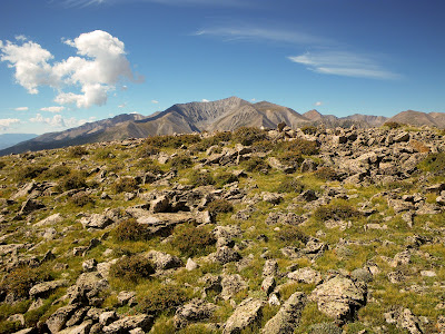
The cloud cover was above the ridge but there were indications that it was lowering. After packing up with water and food I decided to give it a go. I had scouted the ascent of Mt. Wilson the night before and decided on my ascent line.

IMGP0260.jpg


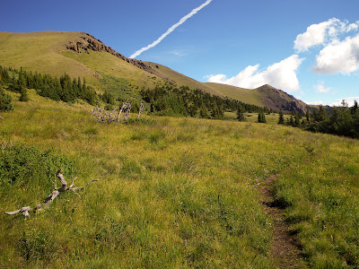
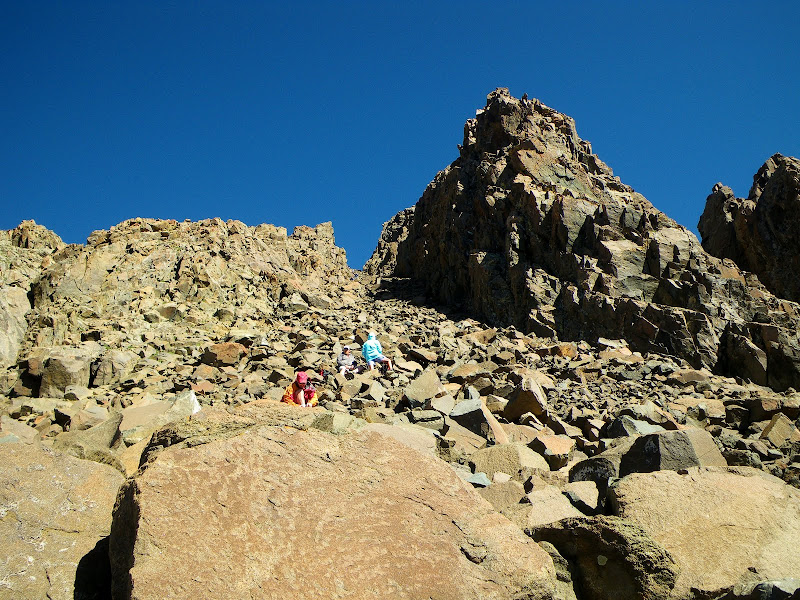
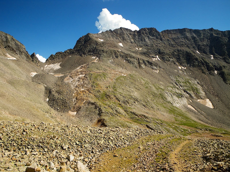
The climbing was rugged and my legs were tired. I watched the cloud cover getting lower and lower, but I kept on climbing.

IMGP0266.jpg
IMGP0268.jpg


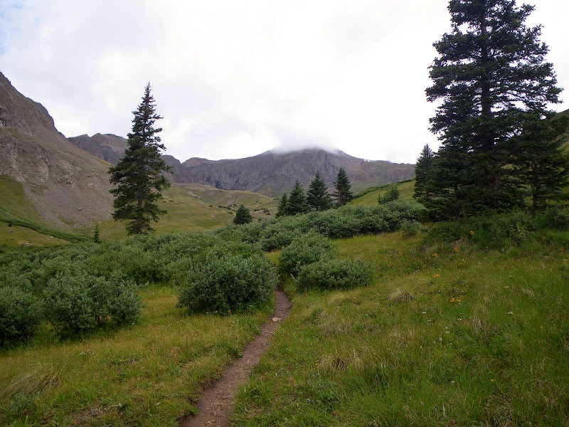
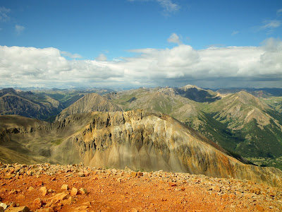
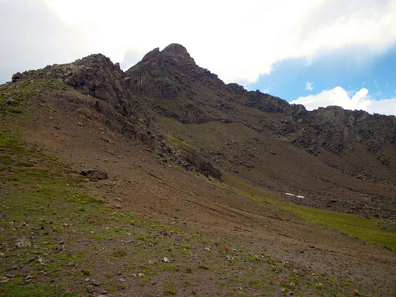
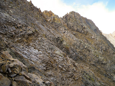
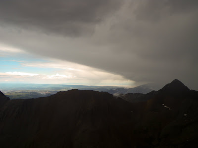
By the time I reached the summit of Mt Wilson I was once again in the clouds. I descended the summit in the direction of the ridge hoping to make good time toward El Deinte. Suddenly I came upon the first problem, the coxcomb.

IMGP0269.jpg


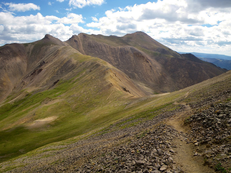
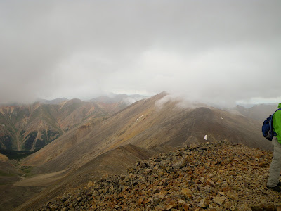
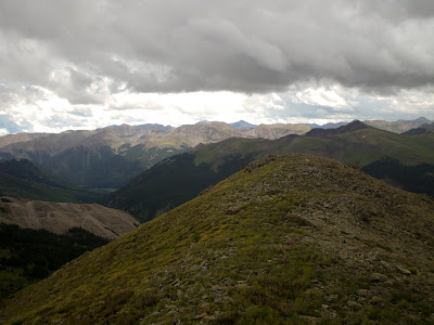
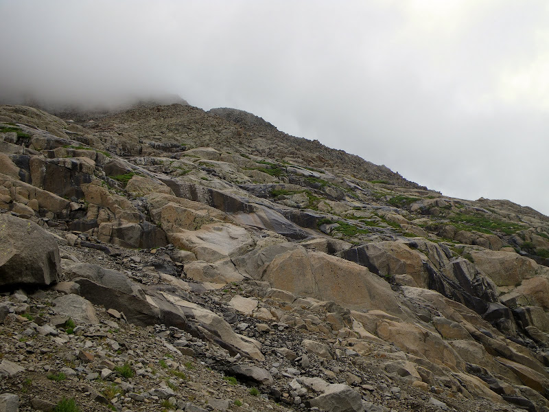
At this point the ridge was in and out of the clouds but I continued on.

IMGP0274.jpg


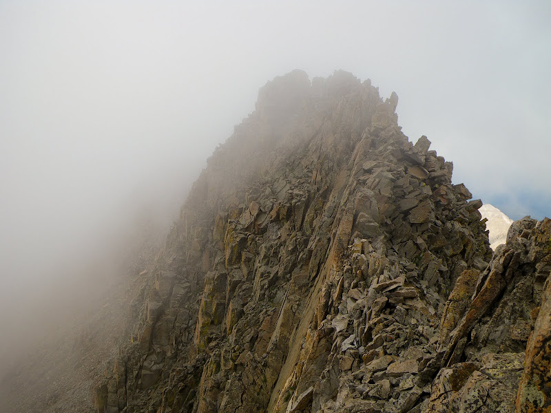
Once I reach the other end of the ridge I was completely in the clouds and the visibility was about 20'. It started misting making foot placement problematic.
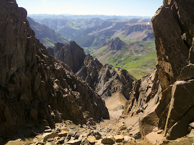
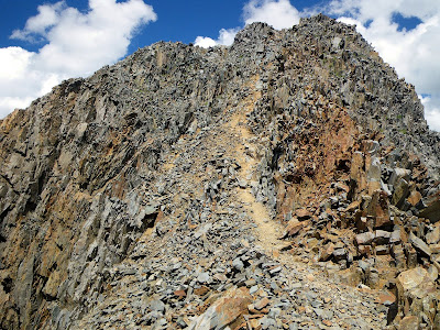
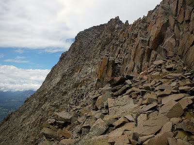
I reached the organ pipes and started searching for the down-climb route around this section. With the low visibility I couldn't find a route. I down-climbed the east side and couldn't get around this section, I down-climbed the west side and had no luck. I tried climbing the ridge crest but this was not doable. After spending about 1.5 hrs trying to navigate this section in the mist, with wet rocks, I decide to bail off the ridge and try again tomorrow. I started down-climbing the west face in 20' visibility on wet rock. After about 200' vertical I ran into a cliff band that I couldn't down-climb. At this point I realized how stupid this decision was. Who knows what I was down-climbing into. So plan C was to climb back to the ridge crest, retrace my steps back to Mt. Wilson and descend the way I came.
As I climbed back up the ridge it started to hail. When I got to within 50' verical of the crest the skies opened up with wind, hail, thunder and lightning. I put on my poncho, sat on my pack and hunkered down. Unlike other storms that I have been in, with this storm I was in it not under it. The storm clouds were below 14K so when the lightning flashed, it was all around me. I was inside the storm. I was a little bit uncomfortable (aka - scared shitless) with this situation but there was nothing I could do. With a visibility of 20' I wasn't going anywhere. The severe lightning, thunder, hail and wind lasted about 20 minutes.

That was an incredible experience

IMGP0277.jpg
IMGP0276.jpg


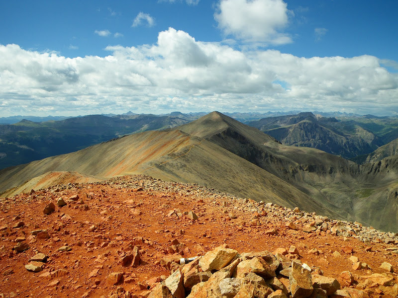
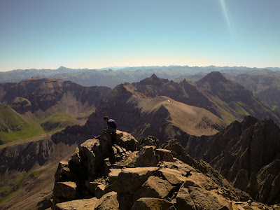
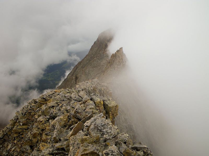
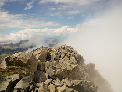
Mercifully, as the storm passed the clouds passed as well. I regained the ridge and with my new found vision I quickly found a route around the organ pipes.
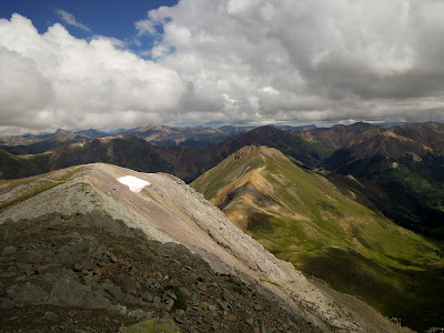
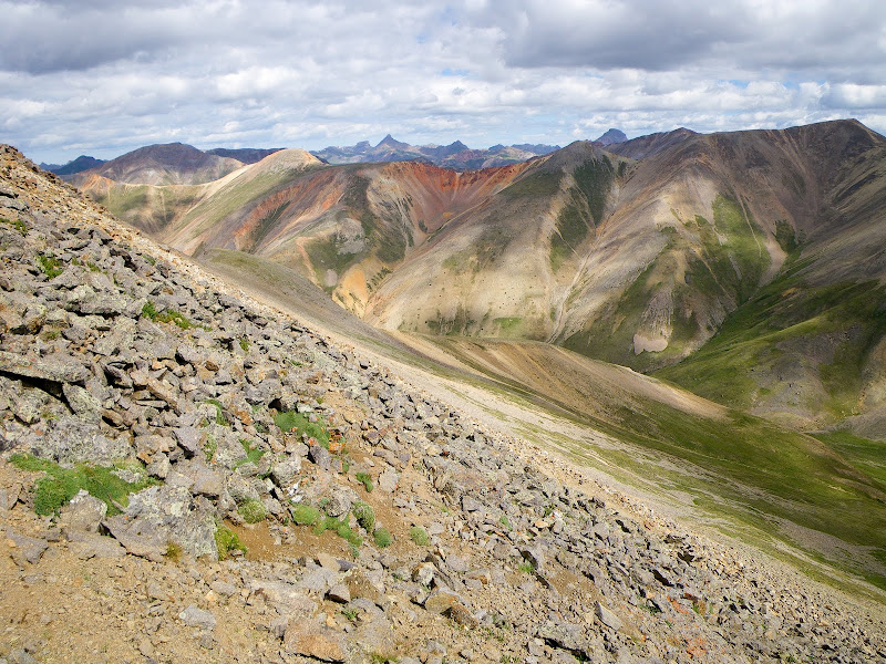
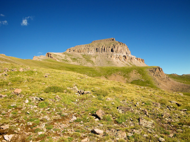
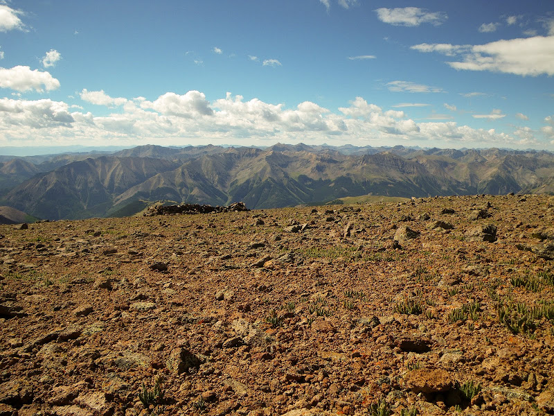
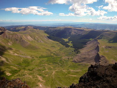
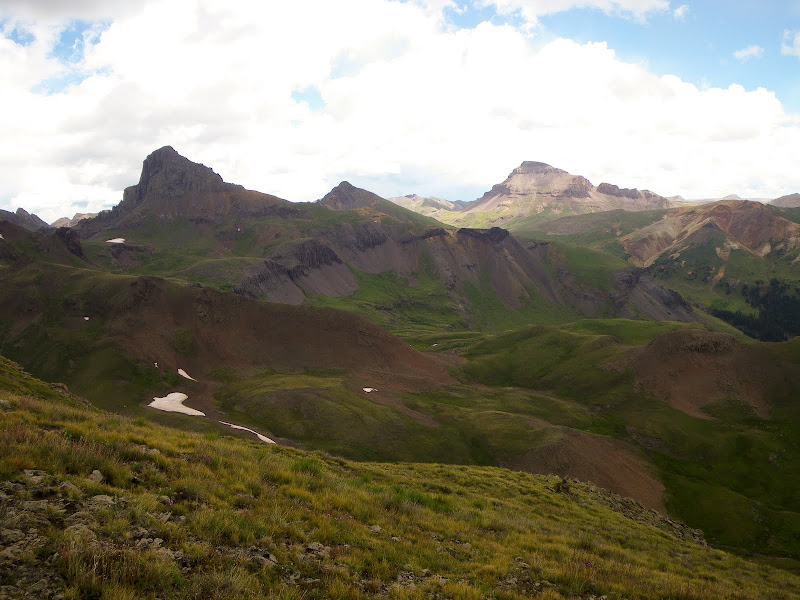
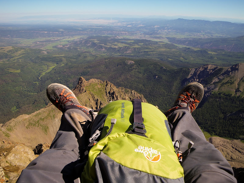
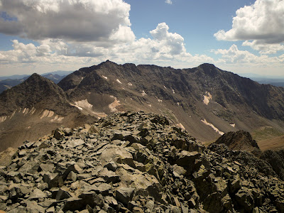
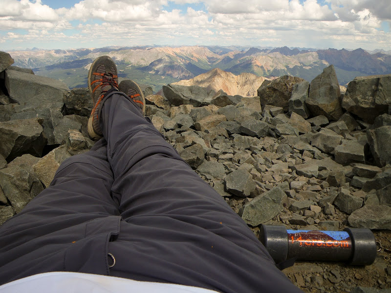
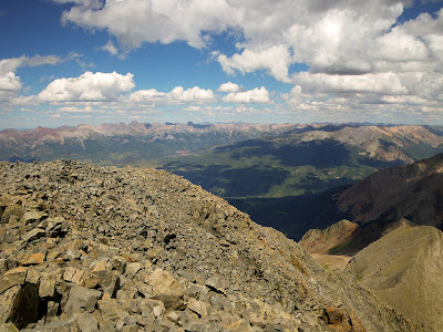
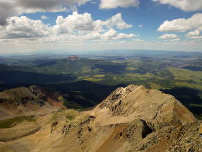
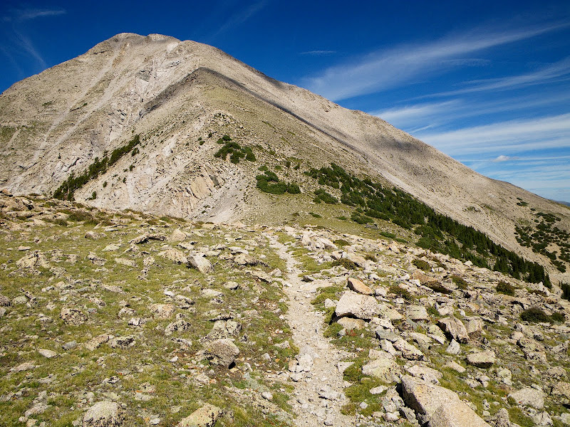
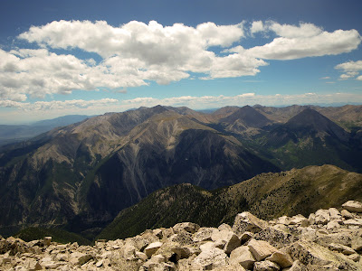
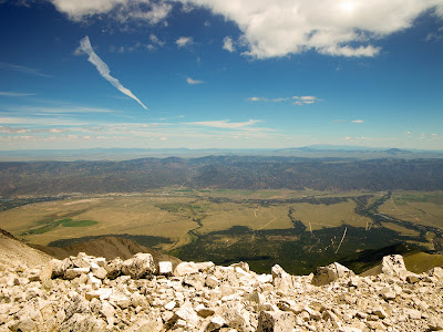
I continued on to El Deinte and enjoyed semi clear summit views.

IMGP0278.jpg
IMGP0281.jpg


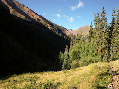
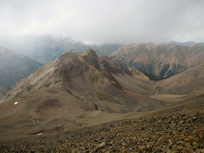
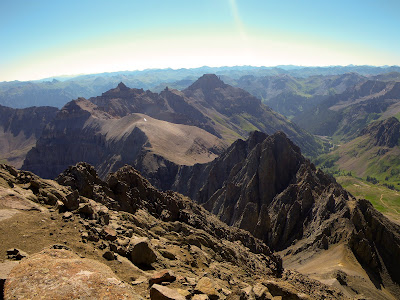
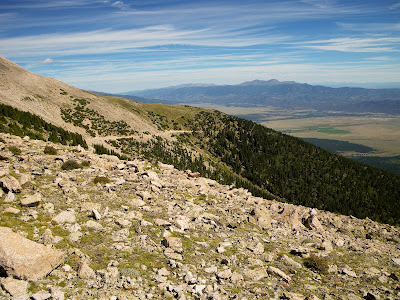
The descent route is off El Deinte's is the west face. This was a relatively easy down-climb compared with the experience I just endured. Once I was down on the flanks of the ridge the cloud cover lower and again the ridge was in the clouds.

IMGP0282.jpg


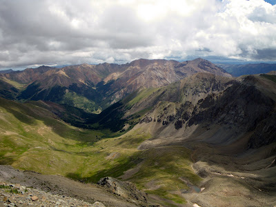
Unfortunately I missed the multi-direction views that ridge traverse affords.

Once back at camp I packed up and headed back to hotel Tahoe. It was probably a 3 hour packout and once back at the car it hailed very heavy for about a half hour.

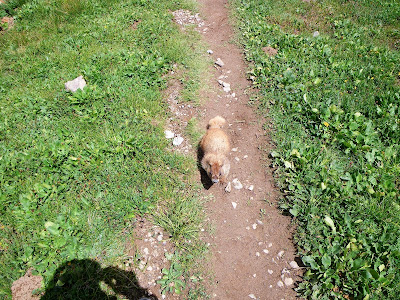
I woke up the early the following morning hoping to get some pictures at first light. As the sun started to rise the coyotes on a nearby hill started barking and howling. It was pretty cool.

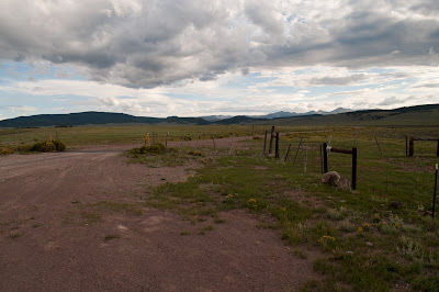
On the ride out I passed an old abandoned ranch I hadn't seen in the dark on the way in.
 
Last edited:
Mt. Princeton & Tigger

Mt. Eolus, Windom Peak, and Sunlight Peak

This grouping was to be the highlight of my trip. Unfortunately, I didn't have enough time to go get them. It would have taken a day to ride the train to the TH and pack into Chicago Basin. Probably 2 day to tag 4 peaks ( maybe 1 but I doubt it). 1 day to pack out to the TH and take the train back to the car. And 1 day to drive back to Denver.
This one will have to wait until next year.
------------------------------------------------------

Mt. Princeton & Tigger - 14,197' & 13,300'

With a couple of days on my hands I decide to grab these 2 peaks.

DSC_0123.jpg


A one lane access road take you up to the cell towers where most folks park. I decided to take the mostly untrailed ridge that goes over trigger on the way to the summit of Princeton.

IMGP0289.jpg


The views from this ridge and the summit of Princeton were outstanding. I great couple of peaks to finish this years trip.

IMGP0290.jpg
IMGP0291.jpg


Views form the top

IMGP0293.jpg
IMGP0297.jpg
 
Okay, that was my favorite TR of the year. Great photos!! But OMG on Mt. Wilson. :eek: 
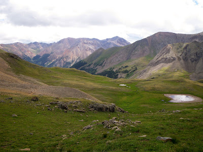
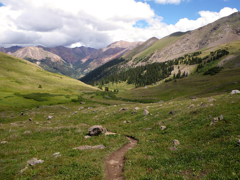
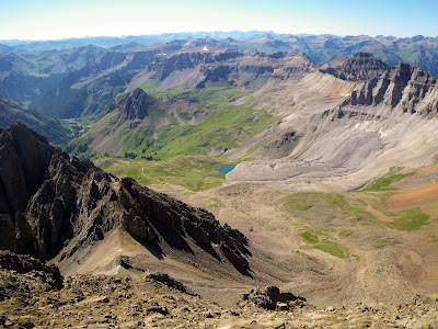
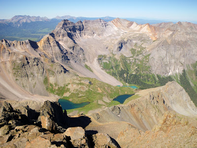
I love the San Juans... :)
 
Yes, I agree with Stinky!! Amazing pictures!
I'm thinking that a much needed trip back to CO is in my future!!!

Though I'm not sure I'd be up for Mt. Wilson.....even in PERFECT weather!!

The diabetic poptart guy on Sunshine is crazy..........how can people just stand there? Unbelievable.
We did a loop hike over Redcloud/Sunshine too, took a steep loose scree route down...prob. the same one you did, shoes full of rocks type of route, but much shorter then going back over Redcloud!!

Sounds like a great trip!
(besides that whole trapped on Mt. Wilson in a lightening storm thing.........that is my worst nightmare!!)
 
Top