Paradox
New member
- Joined
- May 29, 2006
- Messages
- 2,268
- Reaction score
- 314
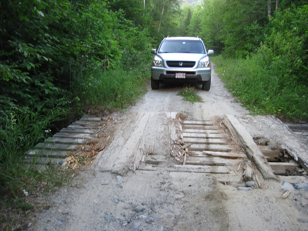
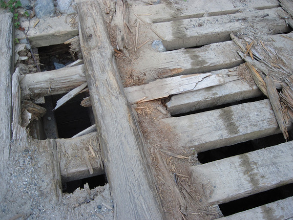
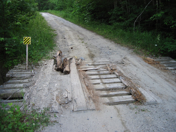
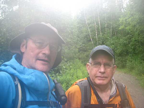
Jazzbo and I headed South about 6 am from the parking area just North of the steel bridge. We thought an early start might beat the rain. But about 15 minutes into the hike, down came the rain. It I expected to be miserable, but as the temps were in the mid 70's, we were comfortable. Both of us were in good shoes and we made the summit of South Crocker before 8 am. We found the herd path to Redington for our own edification, and turned around and headed to Crocker. We made Crocker before 8:30 am in the rain and after a few photos left within 5 minutes.
Back at S. Crocker we had something to eat and headed down the herd path to the Redington Col. We got hung up a bit on the AT boundary line and went past the herd path by about 250'. The boundary had recently been cleared by some diligent Corridor Monitors, so it seemed like the way to go until we blundered into some thick young spruce and krumholtz. We dithered about in the thick spruce until we smelled nice, and then Jazzbo was able to convince me that perhaps we should look for the herd path back up hill. We retraced our steps and found the herd path quickly enough.
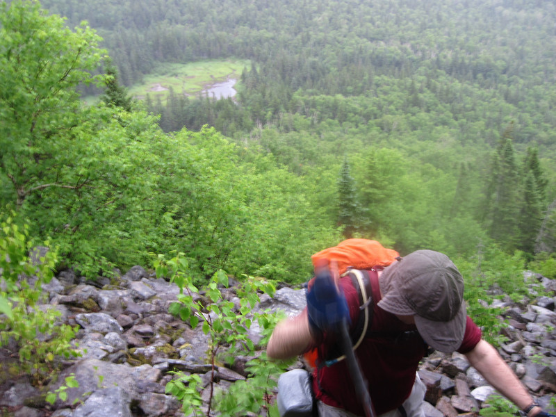
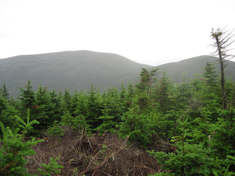
We made good time to the cleared area near the col and found a logging road and some cairns that marked the herd path that ascended Redington. The herd path from the col to the Redington summit is something Ray Charles could have soloed without much trouble. We were fortunate to find some views back to the Crockers once on the summit and the rain finally came to a halt. After some photos and sustenance, we headed down the herd path to a fork in the herd paths and turned right. On the way down we met a group of AMC hikers and visited with them for a bit.
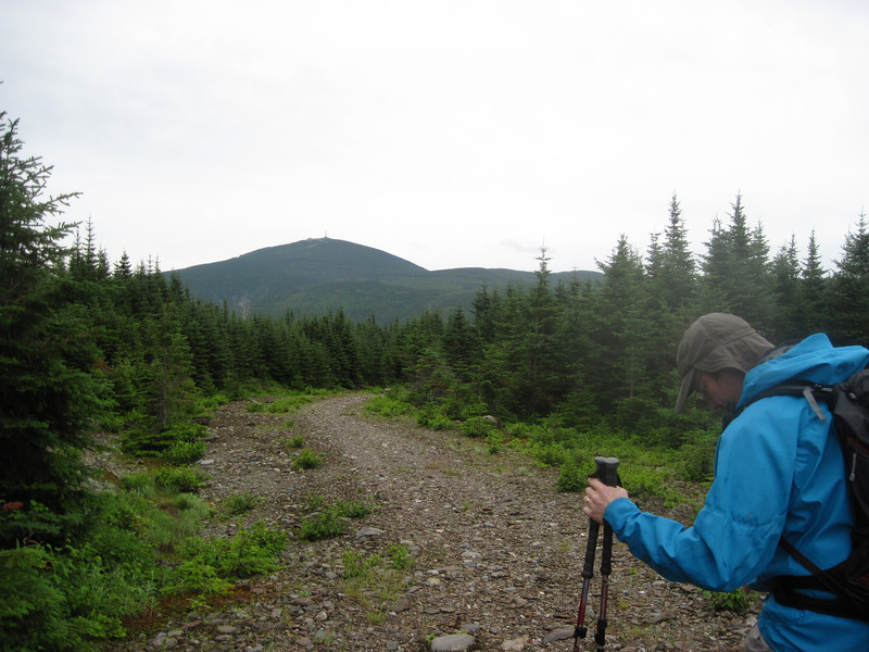
Once back on the logging roads we came to another fork and had a decision to make. If we turned right we would have had about a mile plus of extra hiking. If we turned left we had a shorter route, but I did not know what kind of bushwhack we might run into as we approached the Caribou Pond Road. I convinced Jazzbo to turn left and shoot from the hip.
We followed some very eroded logging roads to a point about half a mile West of the CPR. Diving in, we encountered a mix of young and old spruce, krumholtz, stream beds, and open meadow until we finally made the CPR. We turned left and made our way back to the parking area. After a few PBRs and some salt and vinegar potato chips we headed to the Maine Roadhouse on Rt 27 for well earned showers and naps. Great hike, with good company and a nice mix of conditions.
Photos and GPS track
Back at S. Crocker we had something to eat and headed down the herd path to the Redington Col. We got hung up a bit on the AT boundary line and went past the herd path by about 250'. The boundary had recently been cleared by some diligent Corridor Monitors, so it seemed like the way to go until we blundered into some thick young spruce and krumholtz. We dithered about in the thick spruce until we smelled nice, and then Jazzbo was able to convince me that perhaps we should look for the herd path back up hill. We retraced our steps and found the herd path quickly enough.
We made good time to the cleared area near the col and found a logging road and some cairns that marked the herd path that ascended Redington. The herd path from the col to the Redington summit is something Ray Charles could have soloed without much trouble. We were fortunate to find some views back to the Crockers once on the summit and the rain finally came to a halt. After some photos and sustenance, we headed down the herd path to a fork in the herd paths and turned right. On the way down we met a group of AMC hikers and visited with them for a bit.
Once back on the logging roads we came to another fork and had a decision to make. If we turned right we would have had about a mile plus of extra hiking. If we turned left we had a shorter route, but I did not know what kind of bushwhack we might run into as we approached the Caribou Pond Road. I convinced Jazzbo to turn left and shoot from the hip.
We followed some very eroded logging roads to a point about half a mile West of the CPR. Diving in, we encountered a mix of young and old spruce, krumholtz, stream beds, and open meadow until we finally made the CPR. We turned left and made our way back to the parking area. After a few PBRs and some salt and vinegar potato chips we headed to the Maine Roadhouse on Rt 27 for well earned showers and naps. Great hike, with good company and a nice mix of conditions.
Photos and GPS track
 ( I don't think I need to explain that, do I?