
Amicus
Well-known member
- Joined
- Aug 28, 2005
- Messages
- 1,145
- Reaction score
- 112
The front page of this week's Carroll County Independent carries this article on the Scarboro Ridge Trail, which traverses a 5.2-mile ridge in Freedom, NH that parallels the Maine border, which is less than a mile to its east.
This excellent undertaking was the work of the Scarboro Trail Association, of which the leader and animating spirit is Sally Stoops of Freedom.
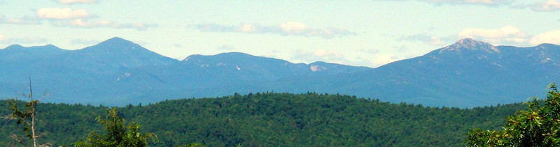
The Trail hits four summits - from N to S, Durgin Hill, x 1557 (the high-point), x 1358 and Prospect Mtn. There are many terrific views, such as this westward vista from x 1358:
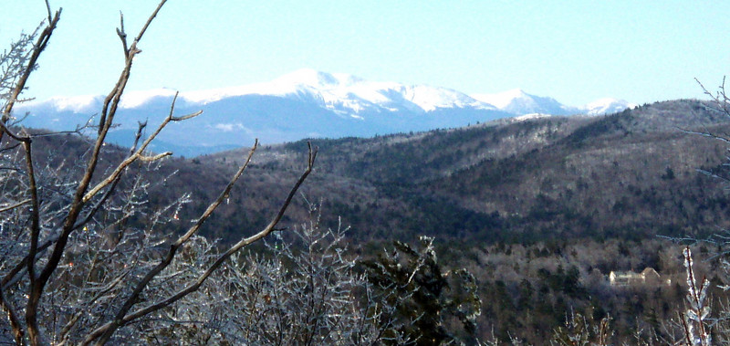
Moses Sweetser himself waxed enthusiastically about the views from Prospect Mtn. in his 1875 White Mtns. Guide. They include Mt. Washington:
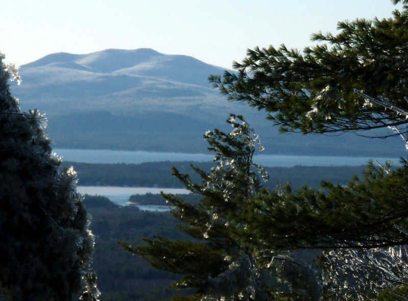
the Ossipees:
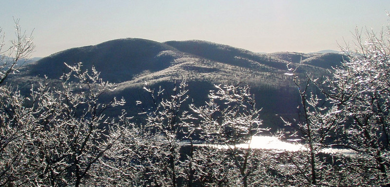
and Green Mountain:
This excellent undertaking was the work of the Scarboro Trail Association, of which the leader and animating spirit is Sally Stoops of Freedom.
The Trail hits four summits - from N to S, Durgin Hill, x 1557 (the high-point), x 1358 and Prospect Mtn. There are many terrific views, such as this westward vista from x 1358:
Moses Sweetser himself waxed enthusiastically about the views from Prospect Mtn. in his 1875 White Mtns. Guide. They include Mt. Washington:
the Ossipees:
and Green Mountain:
")